Carlisle Bay/ Yacht Club
1
6
1
0
13.08484, -59.61171
0
0
0
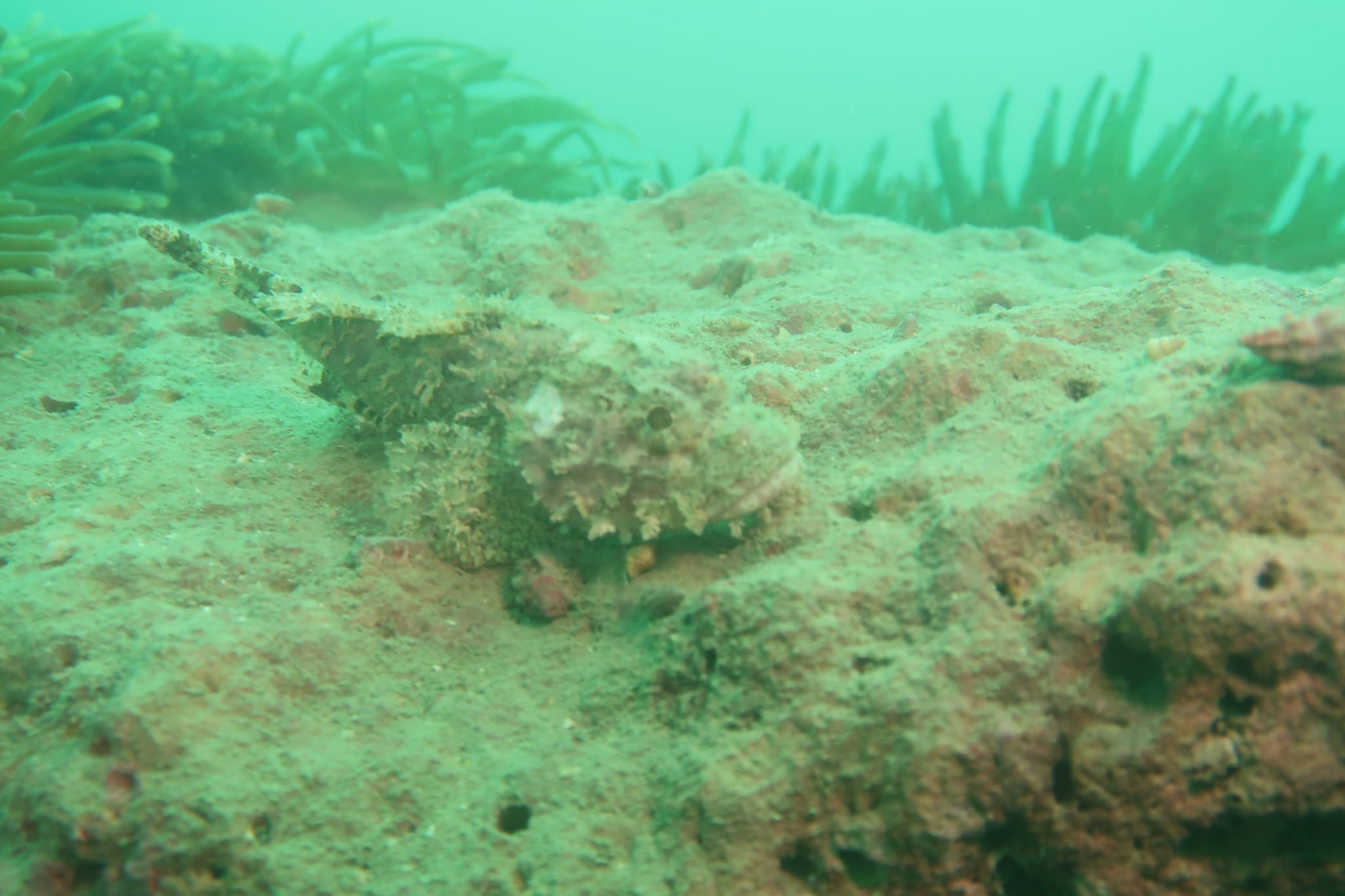
coral
0
0
0
2
0
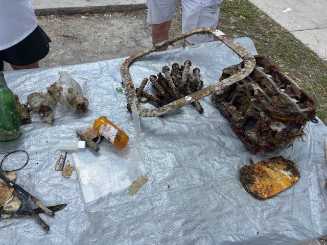
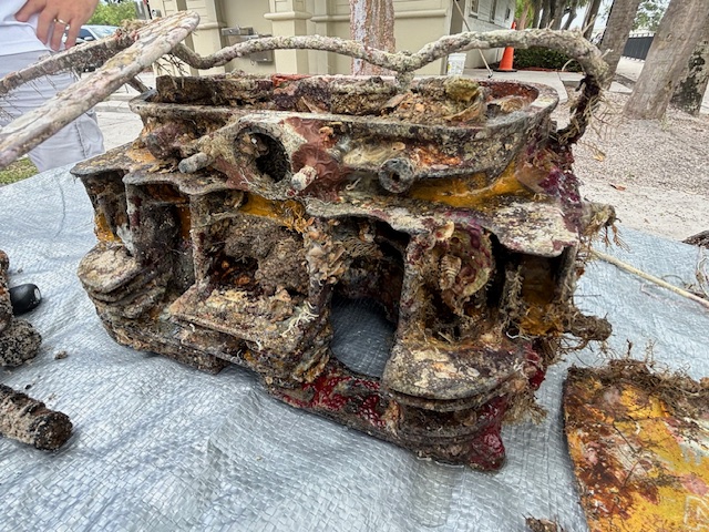
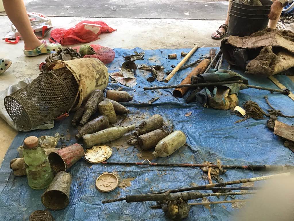
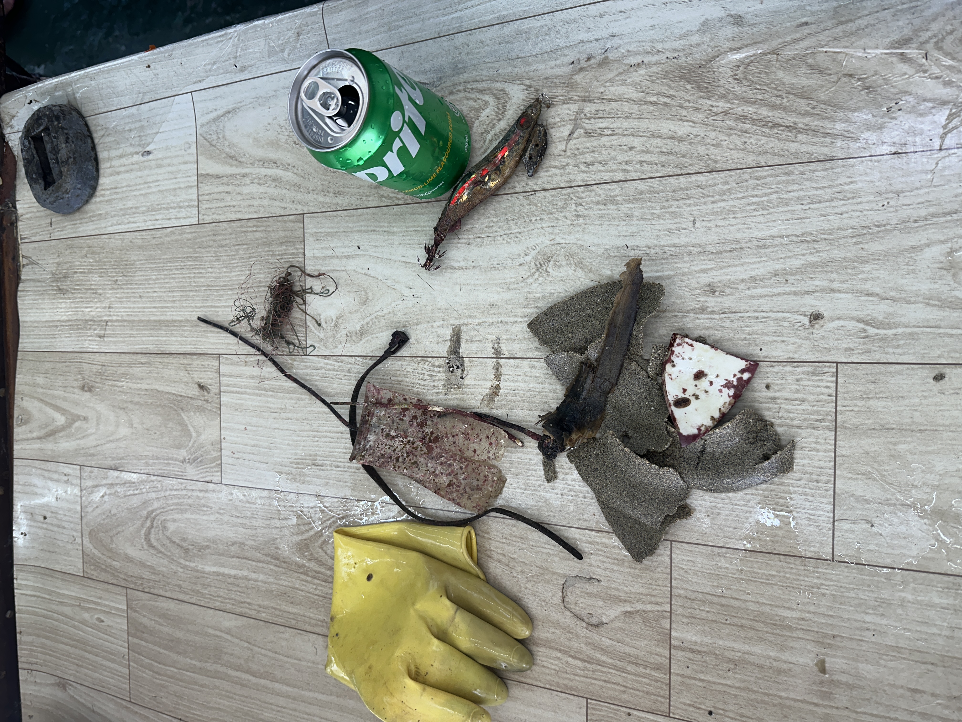
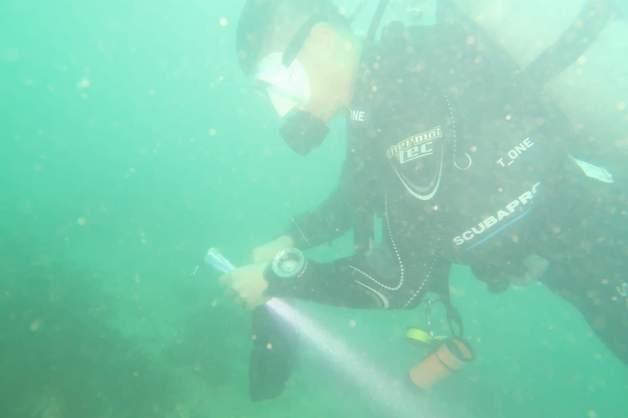
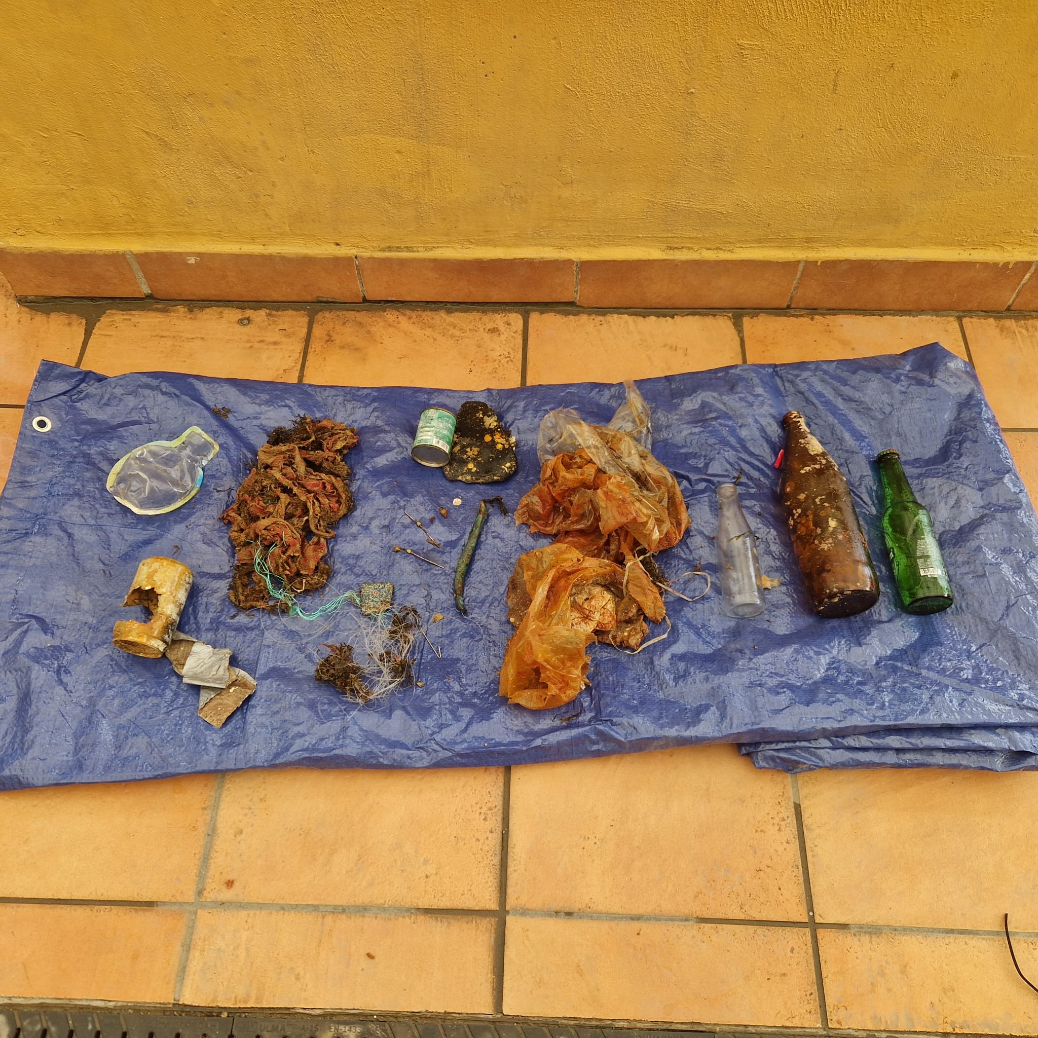
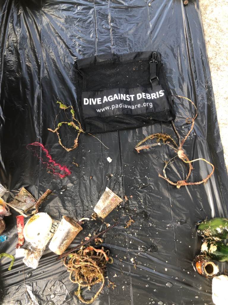
The dive was conduct under a group sail boats moored next to Carlisle Bay. If boat crew are having drink after or during work this may explain the large number of discarded glass bottles
No
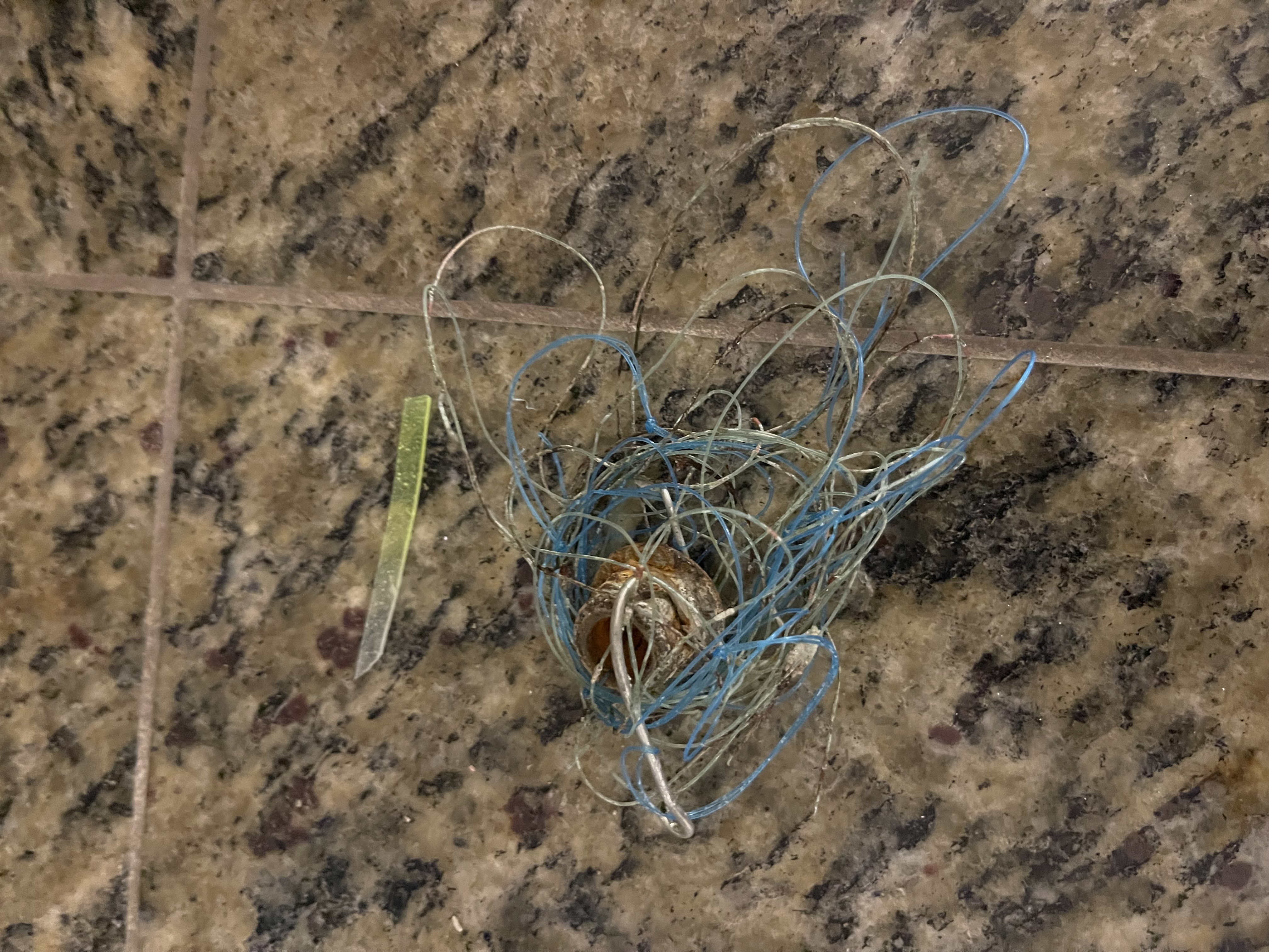
Weave (artificial hair extensions)
Sunny, slight cloud cover
1
1
Weave (artificial hair)
Weave (artificial hair)
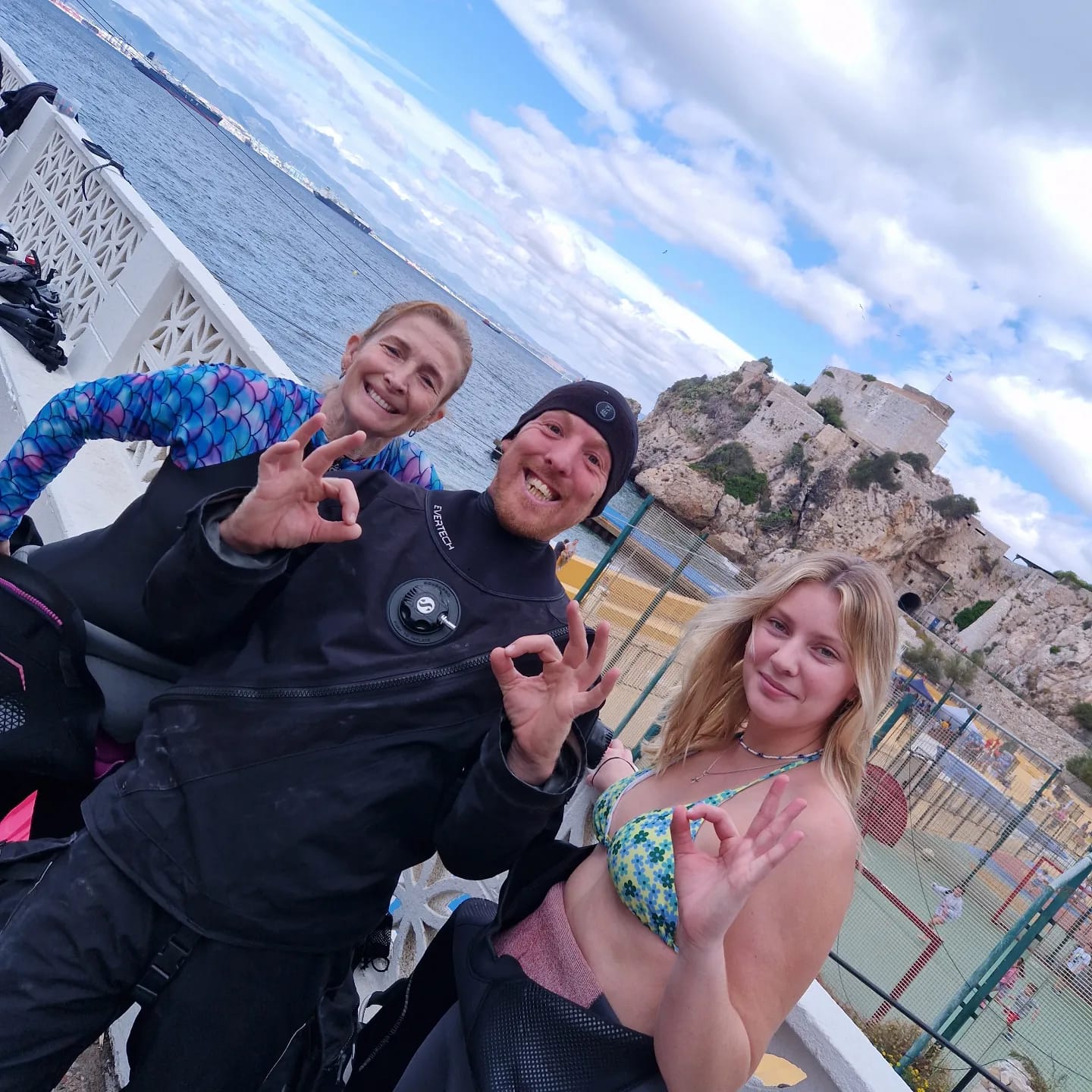
Barbados Blue
Aimee Ratchelous
0
0
0
7
0
0
0
0
0
0
0
0
0
0
0
0
0
0
0
8
0
0
0
0
0
0
1
0
0
0
0
0
0
0
0
0
5.00
50
37.00
15.00
1
estimated
0
0
5784.13
0
0
0
0
0
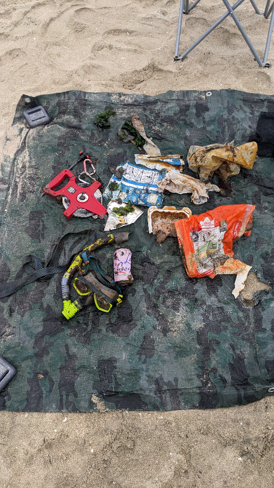
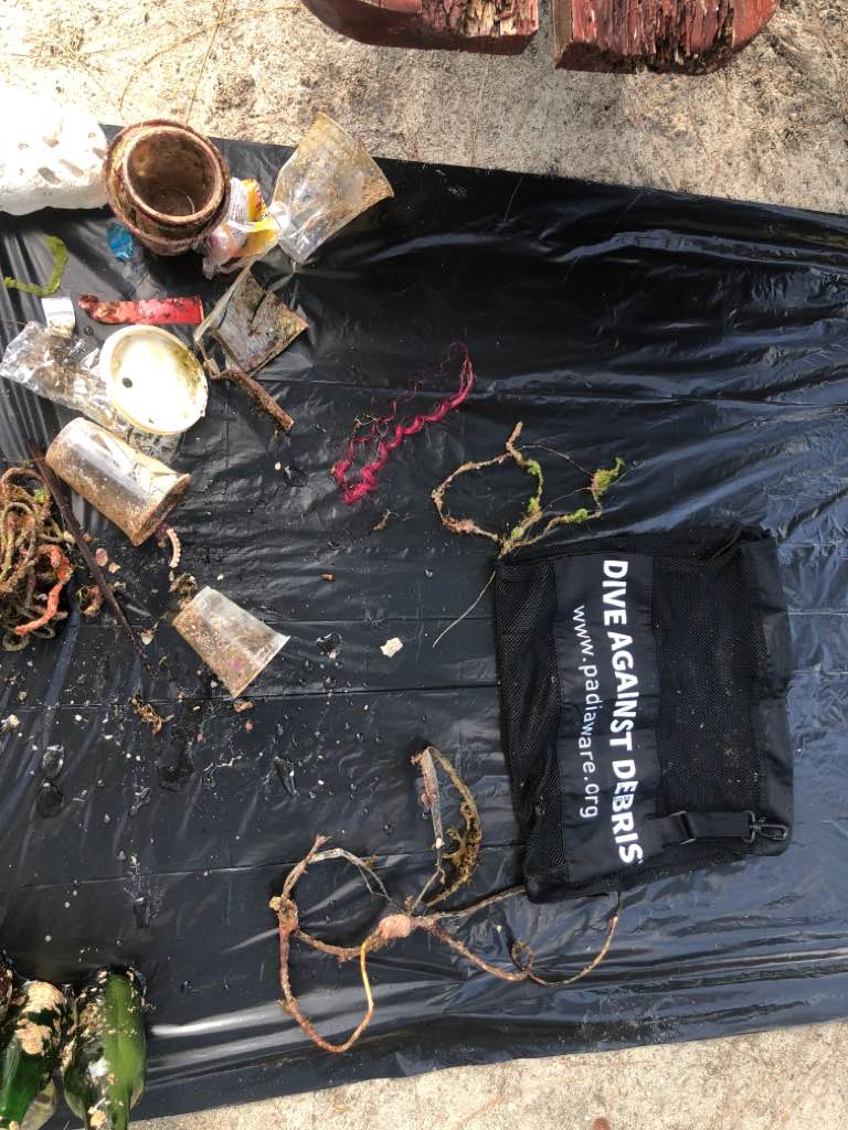
Plastic cups
Rope
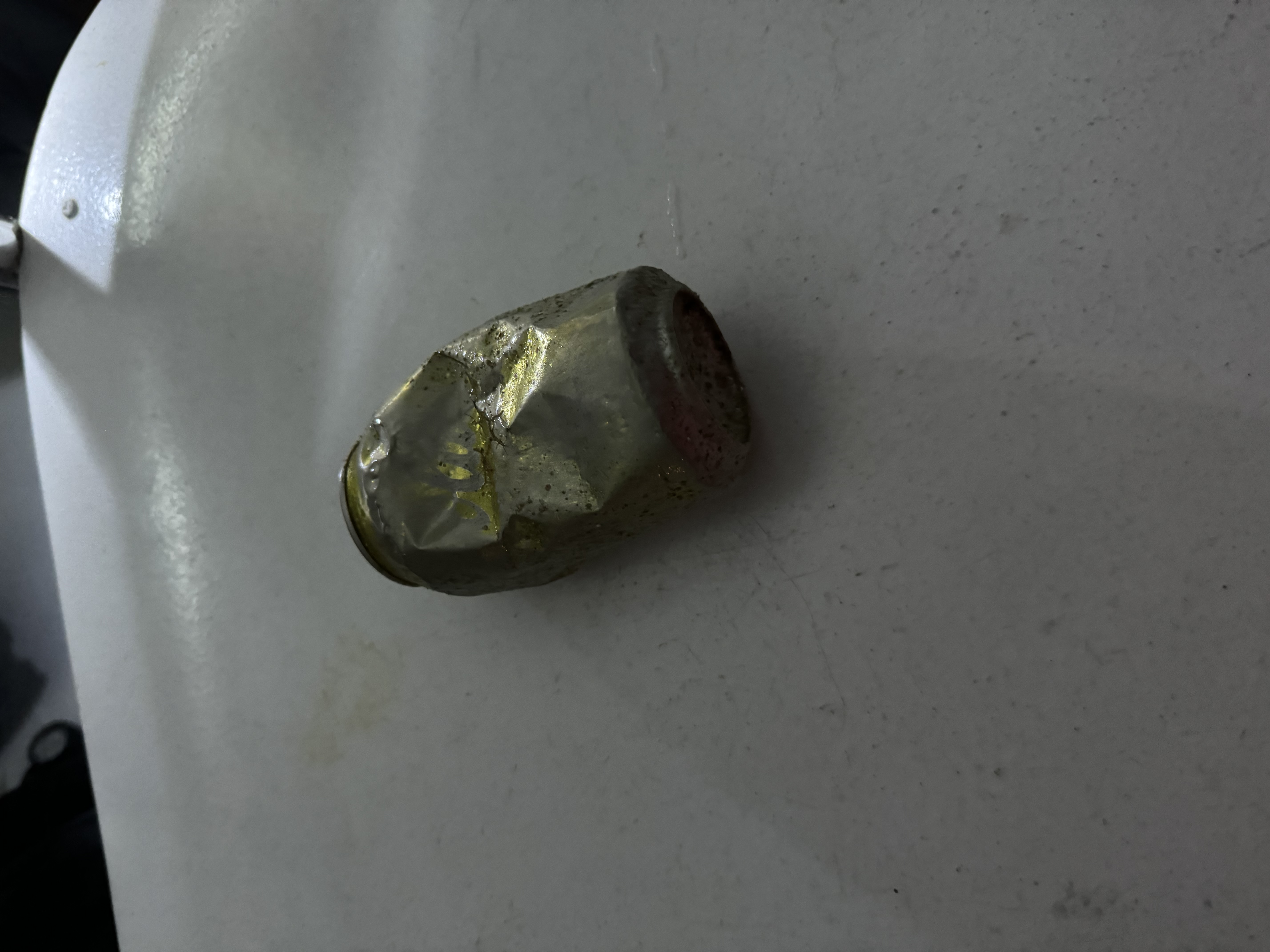
Glass bottles
0
On
pounds
0
I have debris data to report
3
0
0
Smooth (wavelets) for waves 0.1 - 0.5 meter high
0
0
0
0
0
0
0
m2
0
0
feet
coral reef
0
0
0
0
0
0
0
0
0
0
0
0
0
0
0
2
0
0
0
0
1
0
0
0
0
0
0
0
0
State\Province
St. Michael
City
Bridgetown
Map Help
Dive Location
If you know your survey site coordinates, enter them manually in decimal degrees using WGS84 Map Datum. Use the minus sign for latitudes south of the equator and longitudes west of the Prime Meridian to 180 degrees.
If you do not know your survey site coordinates, click the “Map Location” tab to use the map to zoom into your survey site and drop the pin on the map to fall within your survey dive site in the water (not on land or the beach). Ensure you zoom in as much as possible to ensure data accuracy.
Entangled Help