West Coral Pelong island
5.07932, 115.05182
calm and silky condition. temp 27
1
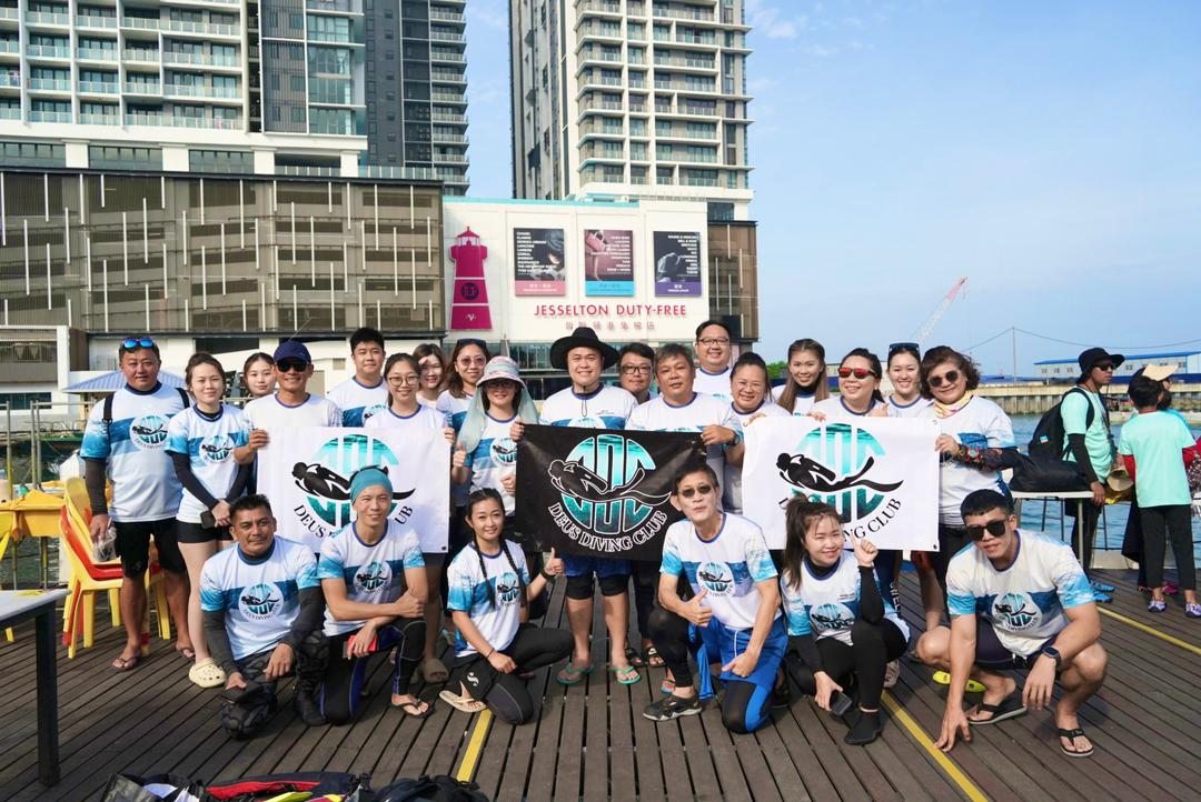
diver din
reef check brunei
frederick Chong
5
0.08
17
9.00
4.00
estimated
100.00
On
kilograms
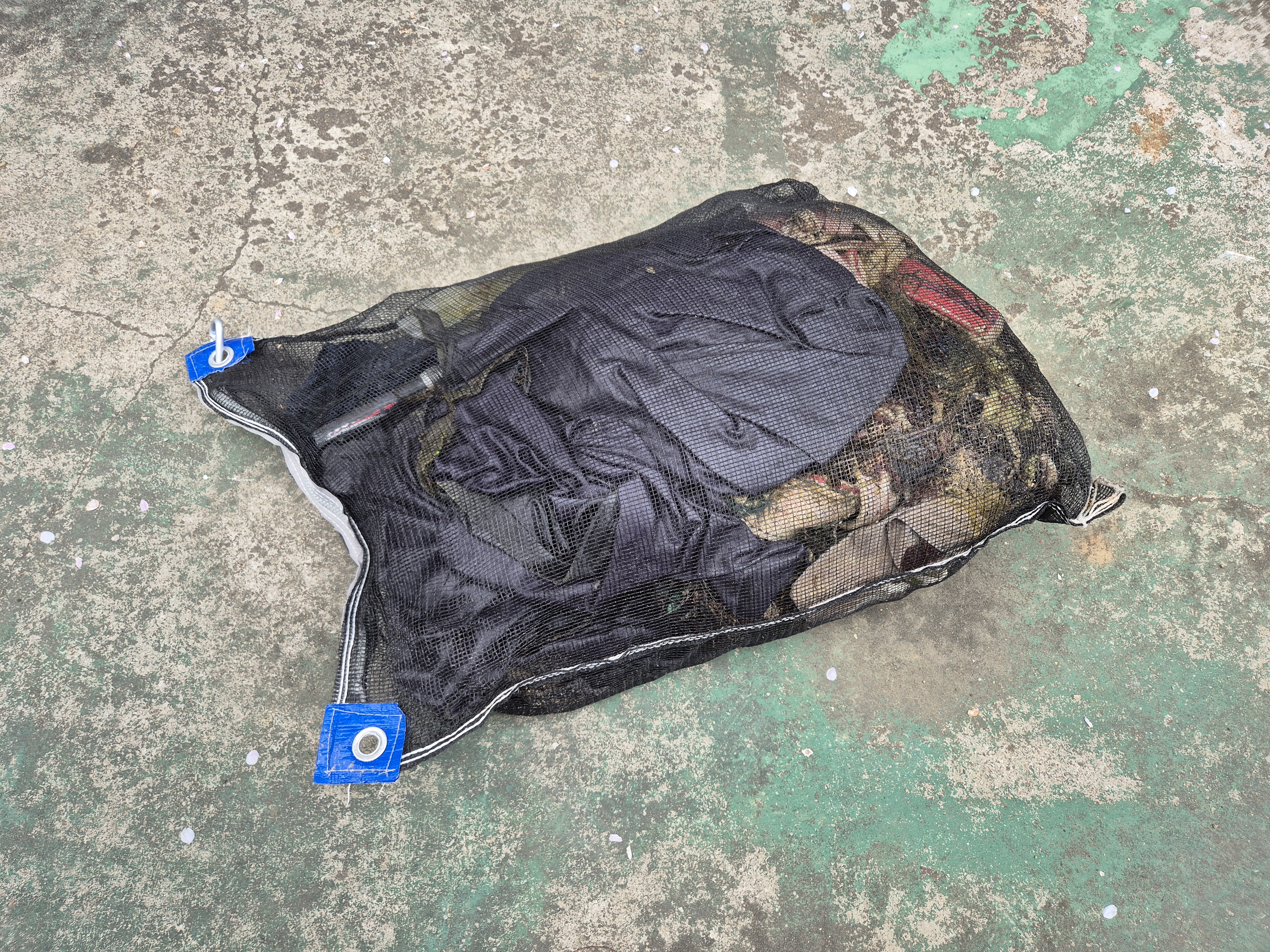
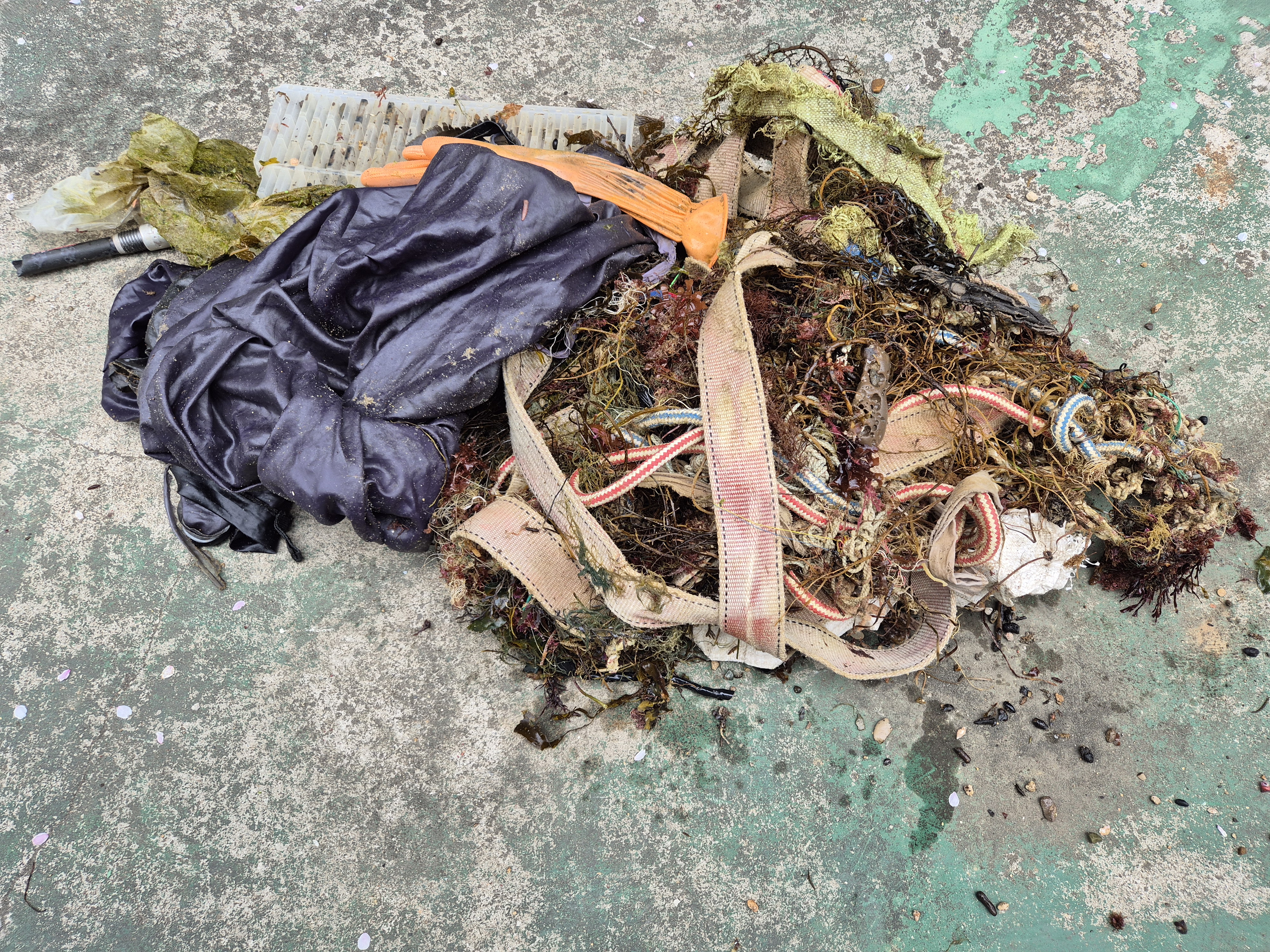
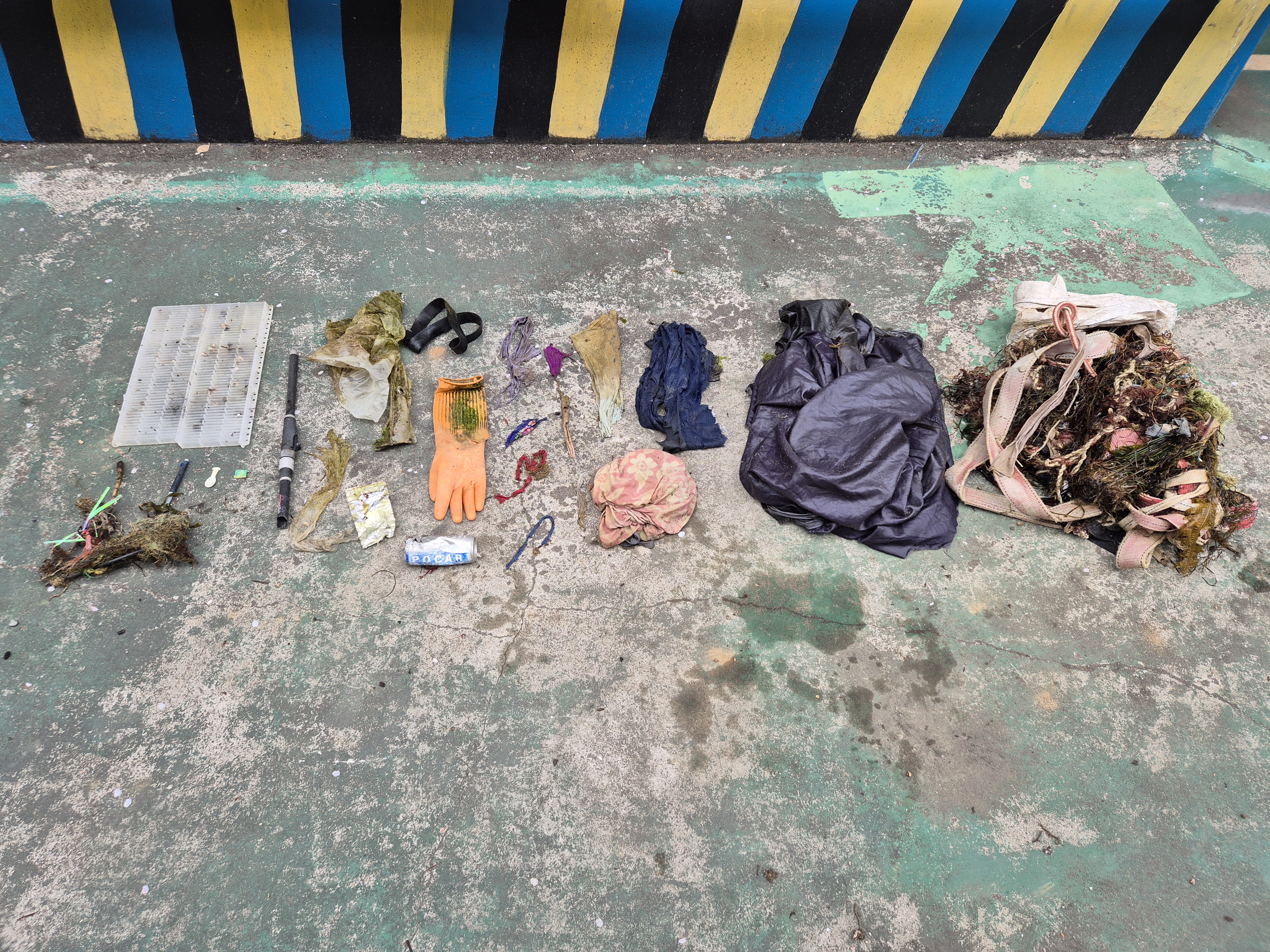
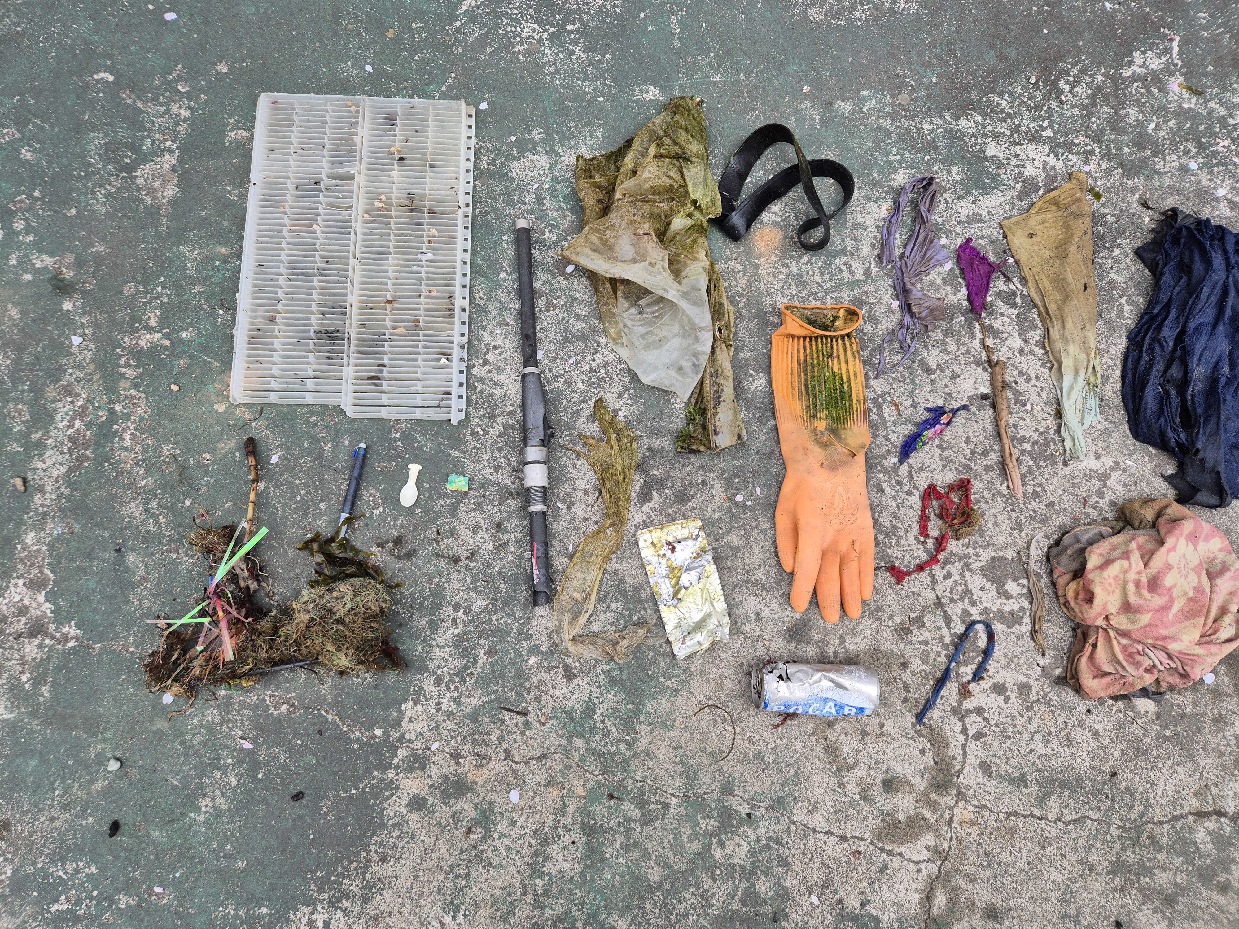
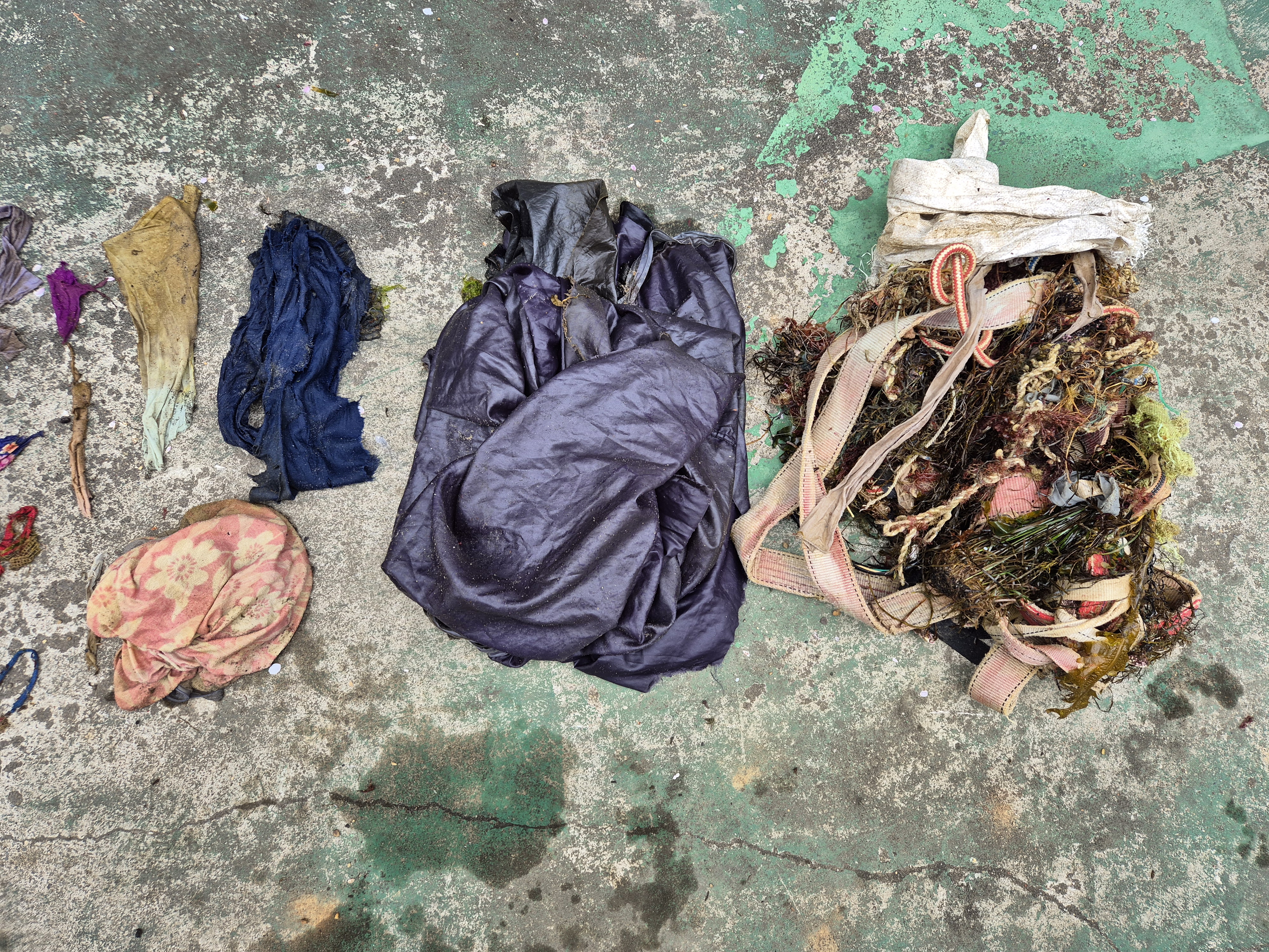
I have debris data to report
Calm (glassy to rippled) for waves 0 – 0.1 meter high
m2
meters
coral reef
State\Province
bsb
City
Brunei Muara
Map Help
Dive Location
If you know your survey site coordinates, enter them manually in decimal degrees using WGS84 Map Datum. Use the minus sign for latitudes south of the equator and longitudes west of the Prime Meridian to 180 degrees.
If you do not know your survey site coordinates, click the “Map Location” tab to use the map to zoom into your survey site and drop the pin on the map to fall within your survey dive site in the water (not on land or the beach). Ensure you zoom in as much as possible to ensure data accuracy.
Entangled Help