Calm (glassy to rippled) for waves 0 – 0.1 meter high
1
m2
meters
rocky reef
Italy
State\Province
Ancona
City
Numana
Map Help
Dive Location
If you know your survey site coordinates, enter them manually in decimal degrees using WGS84 Map Datum. Use the minus sign for latitudes south of the equator and longitudes west of the Prime Meridian to 180 degrees.
If you do not know your survey site coordinates, click the “Map Location” tab to use the map to zoom into your survey site and drop the pin on the map to fall within your survey dive site in the water (not on land or the beach). Ensure you zoom in as much as possible to ensure data accuracy.
Entangled Help
Use the vertical tabs below to record any entangled animals you found of each type.
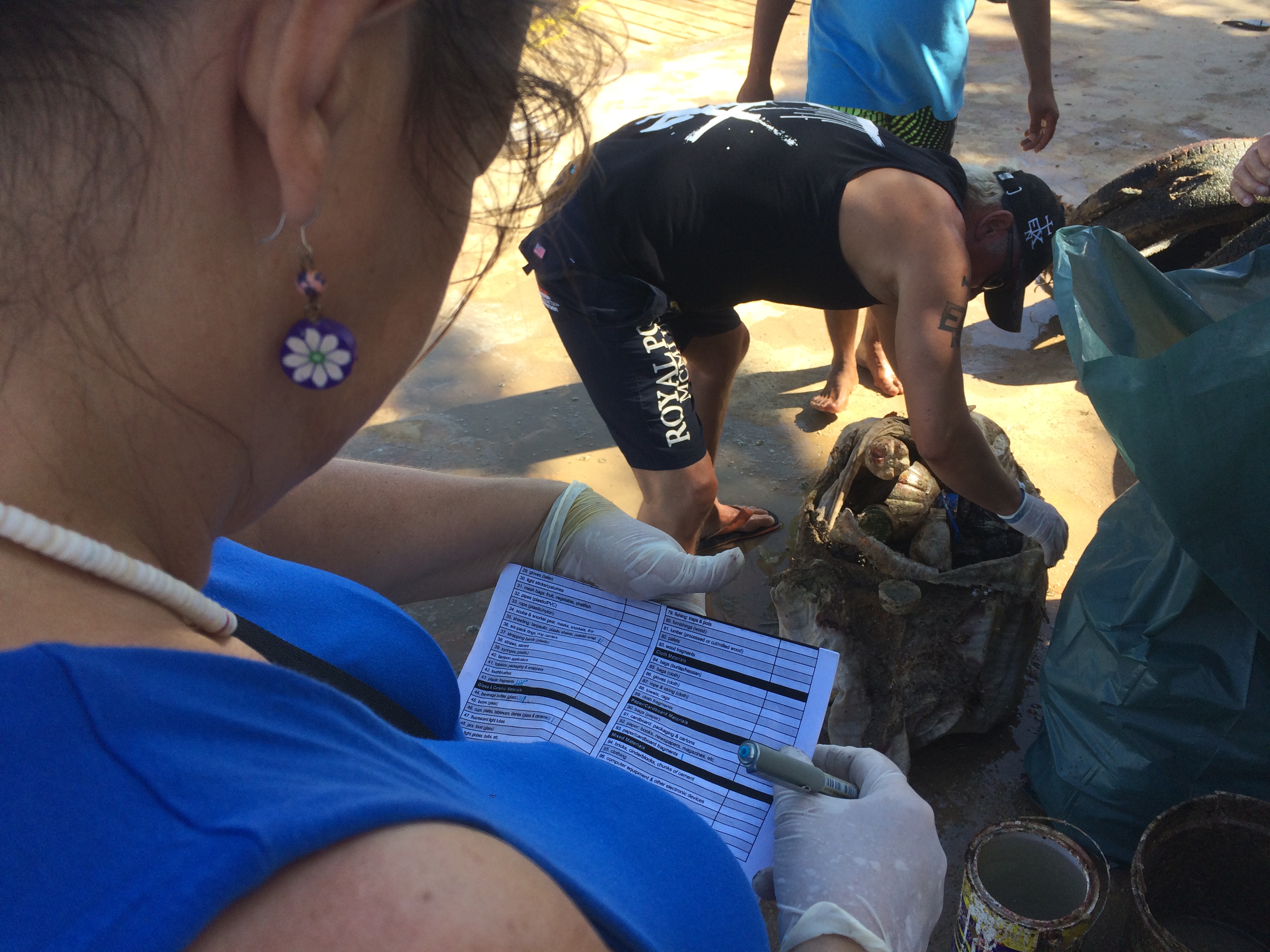
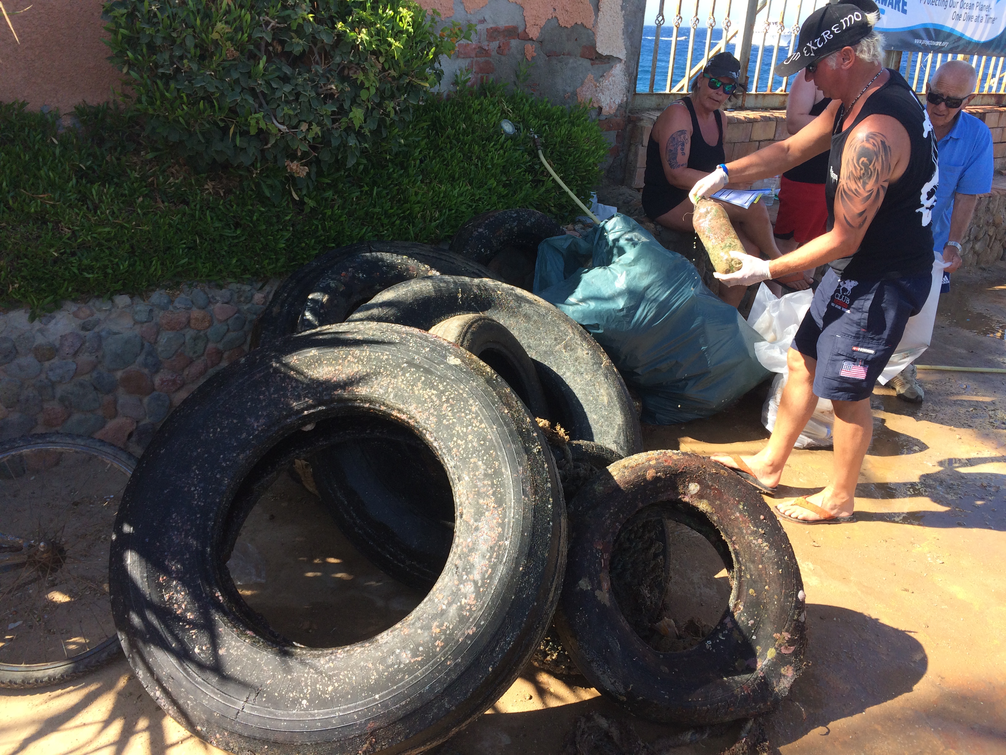
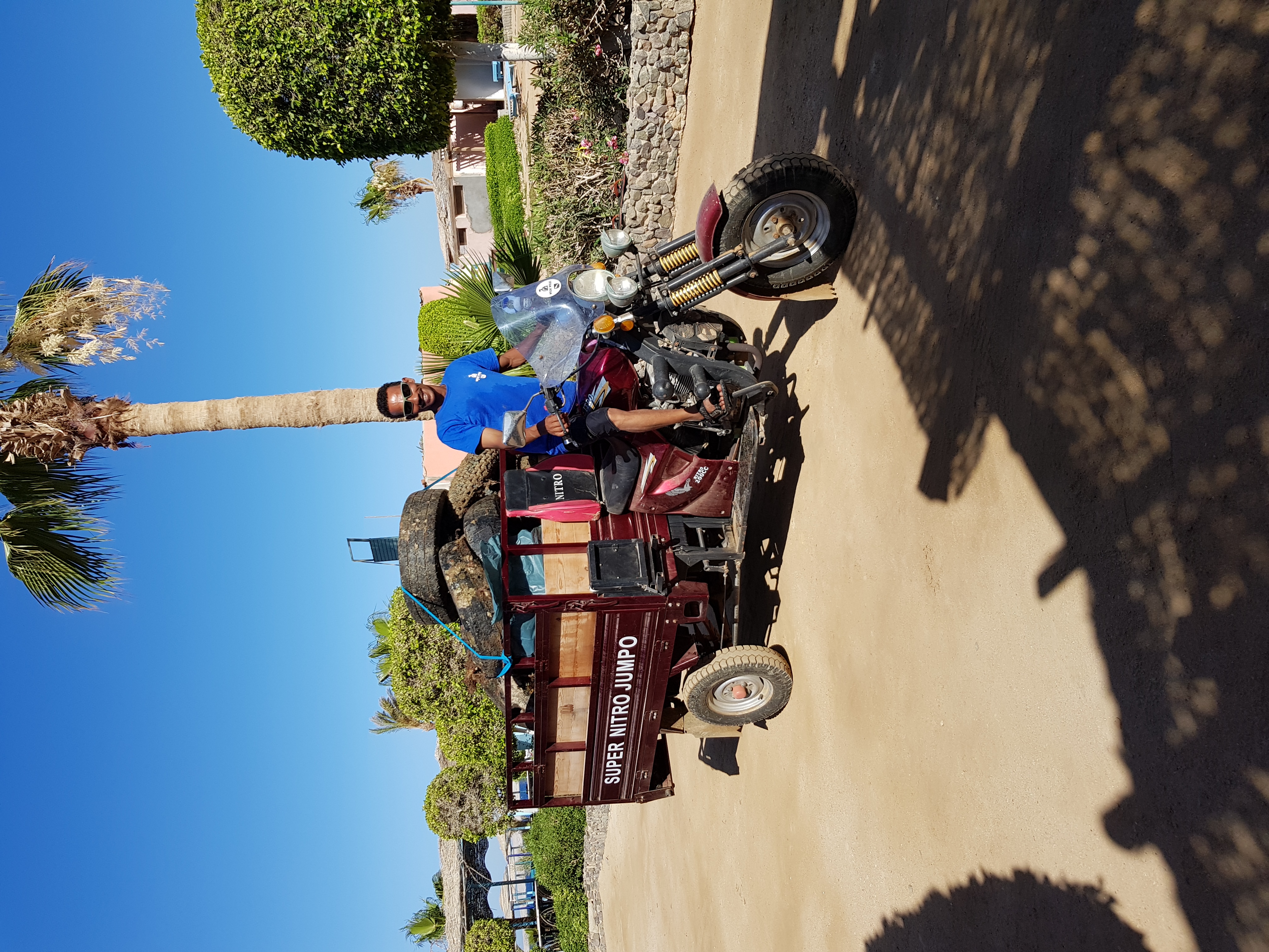
All the tires are old debris, there are several more to be brought up.
A nice flower pot. It now has a special place :-)
Windy, 15-30 km/h
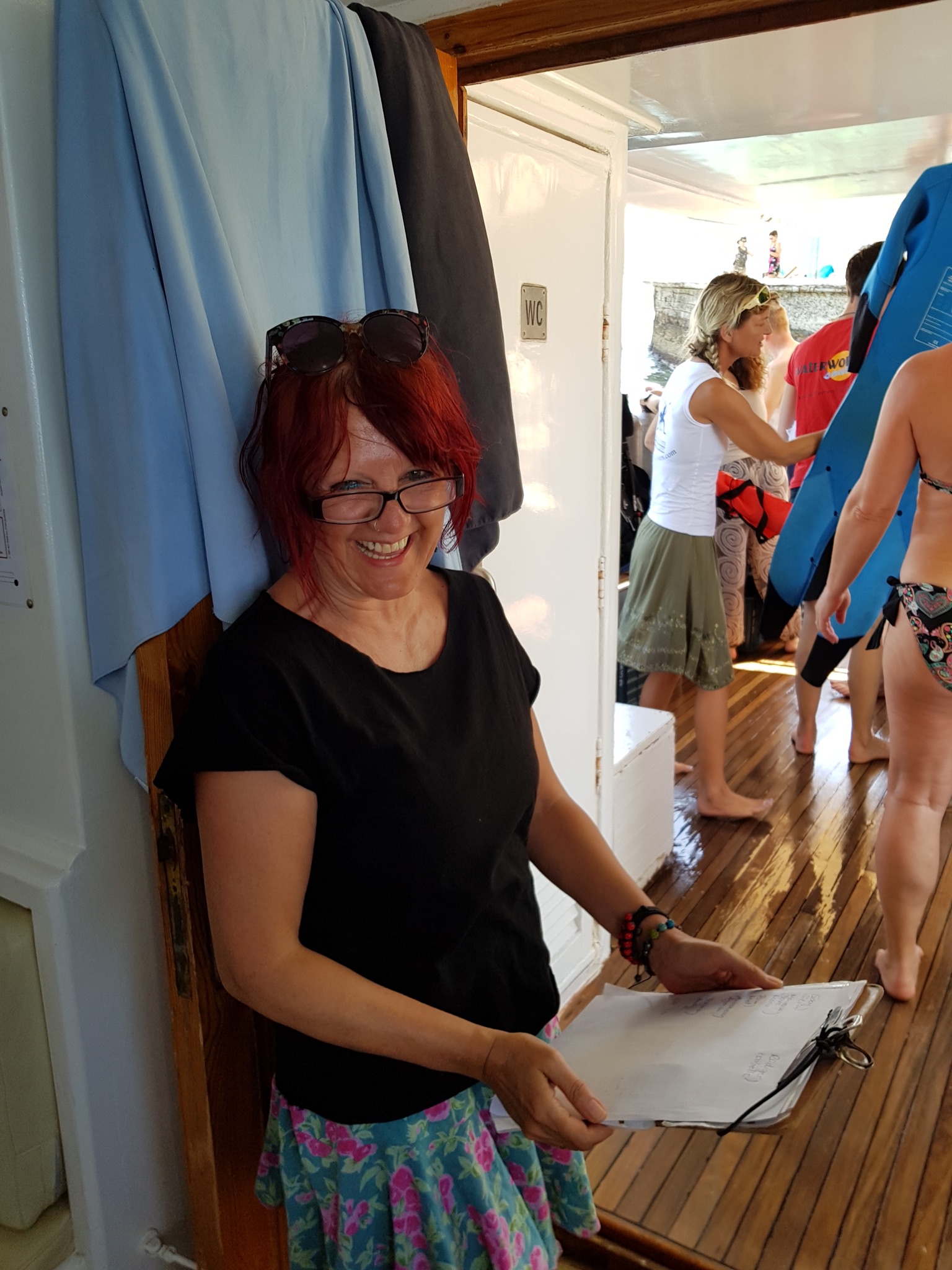
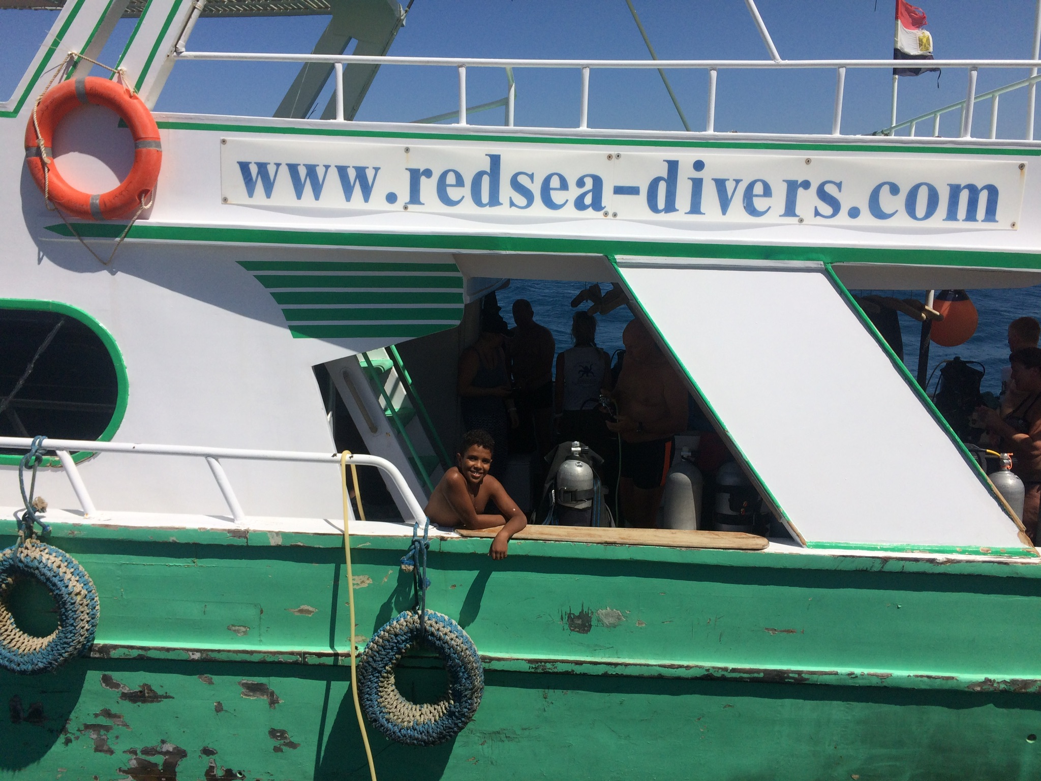
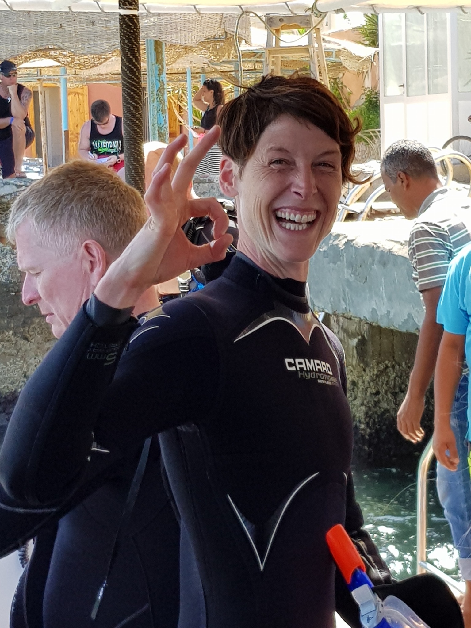
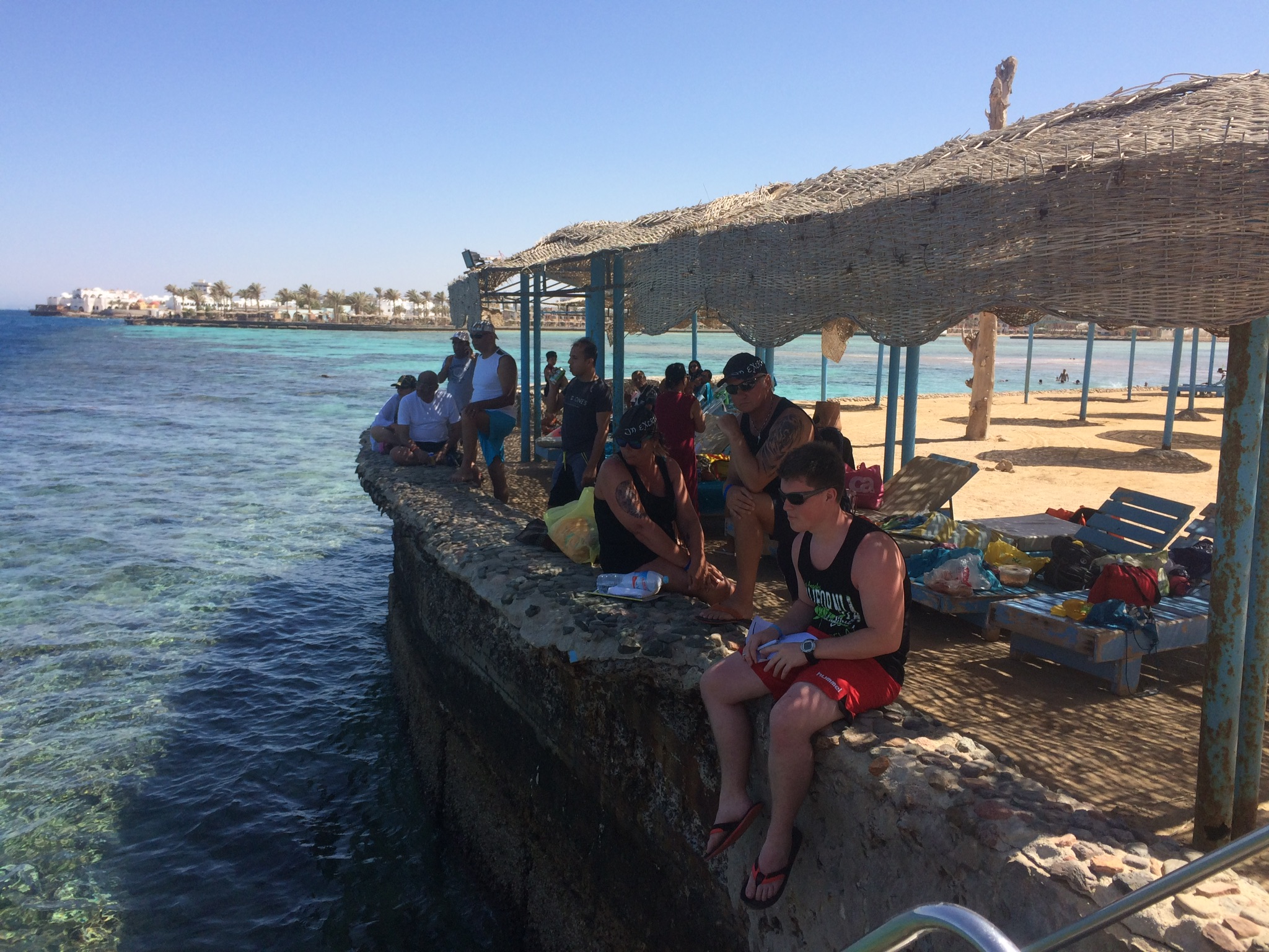
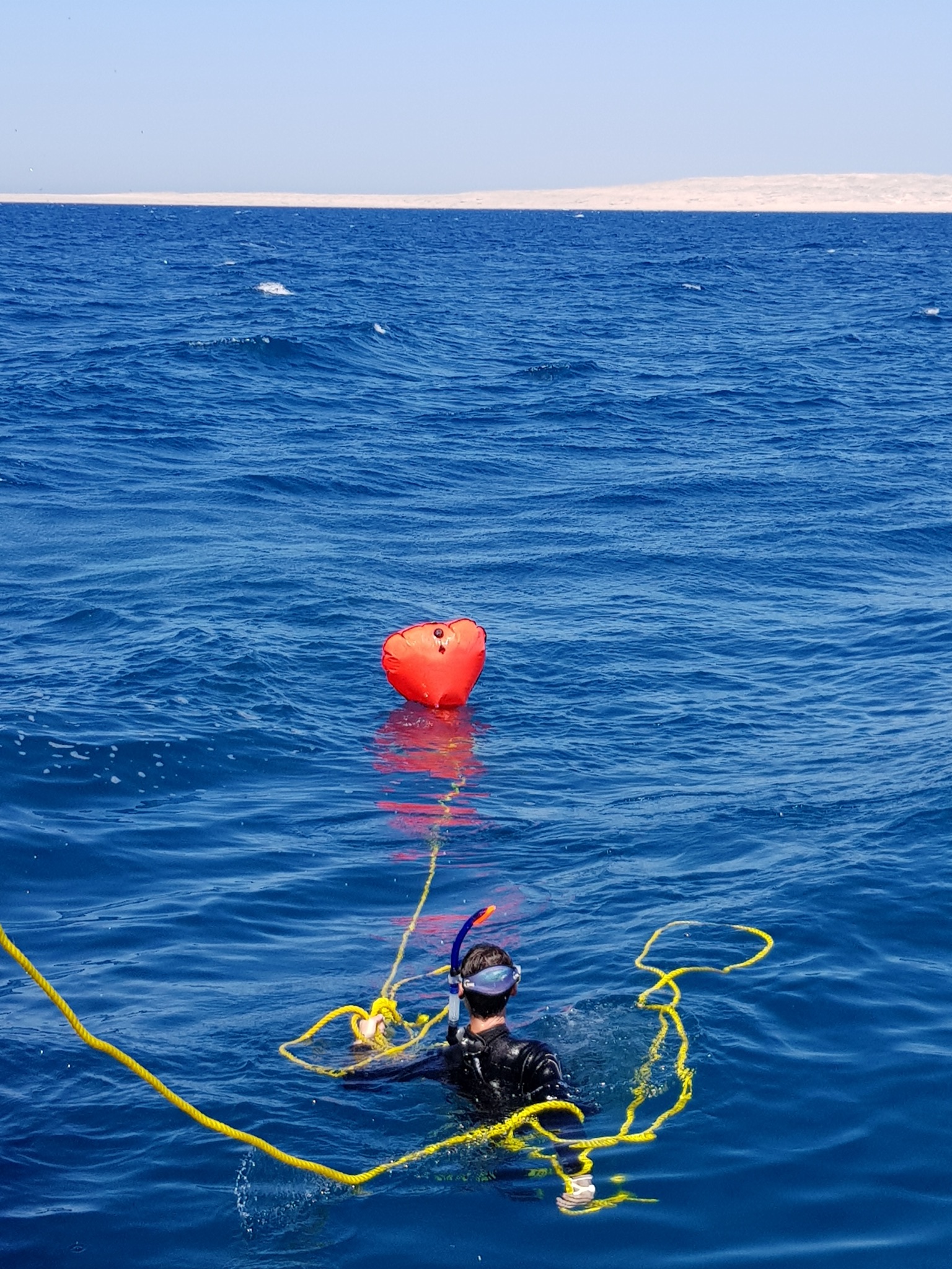
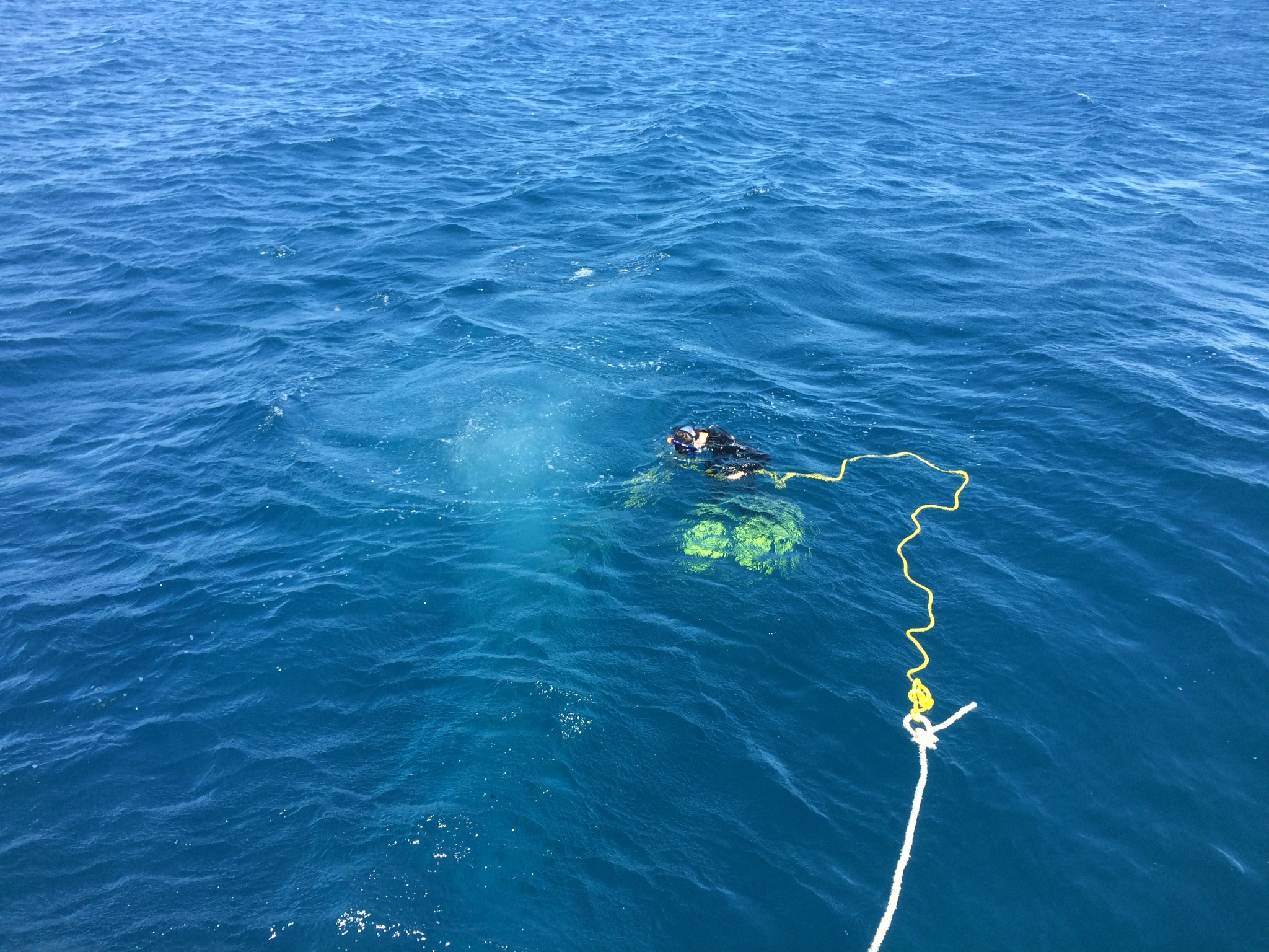
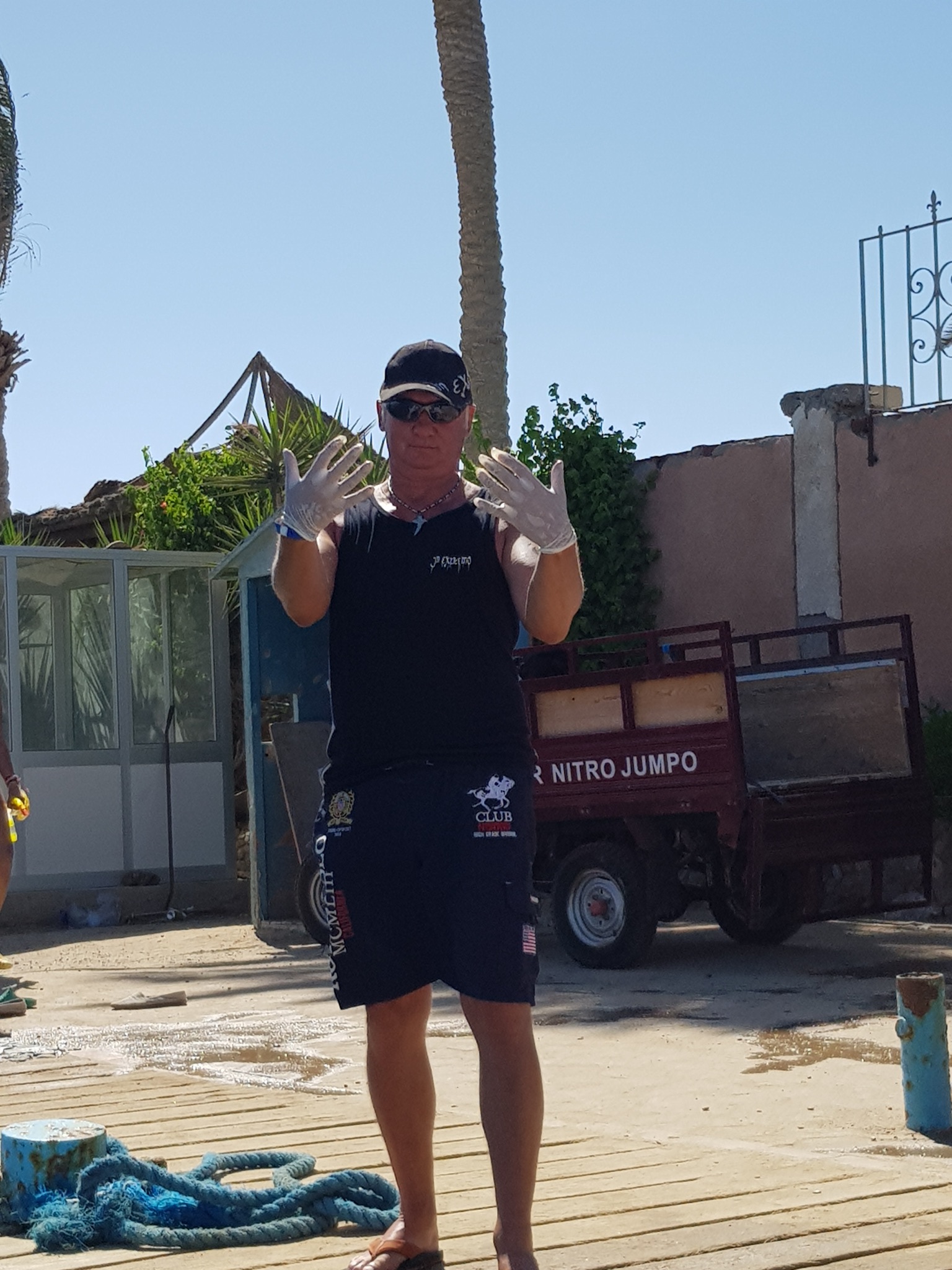
Redsea-Divers
Rainer Dieterle
1
2
3
1
13
3
2
1
26
18
215.00
46
20.00
5.00
estimated
7000.00
10
On
kilograms
I have debris data to report
23
Smooth (wavelets) for waves 0.1 - 0.5 meter high
1
3
1
m2
1
meters
coral reef
9
1
2
6
7
2
1
4
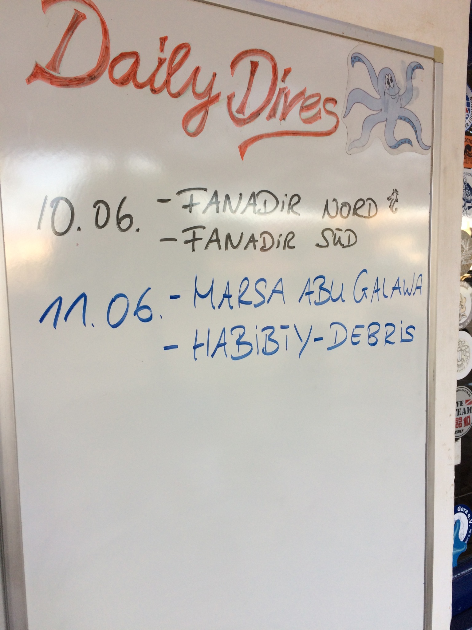
Egypt
City
Hurghada
Map Help
Dive Location
If you know your survey site coordinates, enter them manually in decimal degrees using WGS84 Map Datum. Use the minus sign for latitudes south of the equator and longitudes west of the Prime Meridian to 180 degrees.
If you do not know your survey site coordinates, click the “Map Location” tab to use the map to zoom into your survey site and drop the pin on the map to fall within your survey dive site in the water (not on land or the beach). Ensure you zoom in as much as possible to ensure data accuracy.
Entangled Help
Use the vertical tabs below to record any entangled animals you found of each type.
Knowing that this is a popular area there is lack of waste management. Trash in the rompeolas is lodged in the rocks(out of the water) and as the tide come in and goes out it takes out that trash. Most of the trash we find underwater along the wavebreaker is due to this.
Recreational Fishing, people not taking their trash once they are done in the area. Summer crowd for parties coming in.
calm
Black Beard Sports
Gabriel Espino
4
6.00
42
40.00
22.00
estimated
5
9420.47
Fishing line
On
pounds
I have debris data to report
2
Smooth (wavelets) for waves 0.1 - 0.5 meter high
Glass Bottle
Crab
Released Unharmed
1
m2
1
Glass Bottle
Juvenile Octopus
Released Unharmed
feet
other
2
Puerto Rico
State\Province
Puerto Rico
City
Vieques
Map Help
Dive Location
If you know your survey site coordinates, enter them manually in decimal degrees using WGS84 Map Datum. Use the minus sign for latitudes south of the equator and longitudes west of the Prime Meridian to 180 degrees.
If you do not know your survey site coordinates, click the “Map Location” tab to use the map to zoom into your survey site and drop the pin on the map to fall within your survey dive site in the water (not on land or the beach). Ensure you zoom in as much as possible to ensure data accuracy.
Entangled Help
Use the vertical tabs below to record any entangled animals you found of each type.
Summer crowd coming in. Fishing, hanging out and partying in the area.
windy
Black Beard Sports
Gabriel Espino
1
3
1
3
9.00
34
40.00
15.00
estimated
6412.77
Fishing line
On
pounds
I have debris data to report
1
Smooth (wavelets) for waves 0.1 - 0.5 meter high
m2
feet
other
Puerto Rico
State\Province
Puerto Rico
City
Vieques
Map Help
Dive Location
If you know your survey site coordinates, enter them manually in decimal degrees using WGS84 Map Datum. Use the minus sign for latitudes south of the equator and longitudes west of the Prime Meridian to 180 degrees.
If you do not know your survey site coordinates, click the “Map Location” tab to use the map to zoom into your survey site and drop the pin on the map to fall within your survey dive site in the water (not on land or the beach). Ensure you zoom in as much as possible to ensure data accuracy.
Entangled Help
Use the vertical tabs below to record any entangled animals you found of each type.