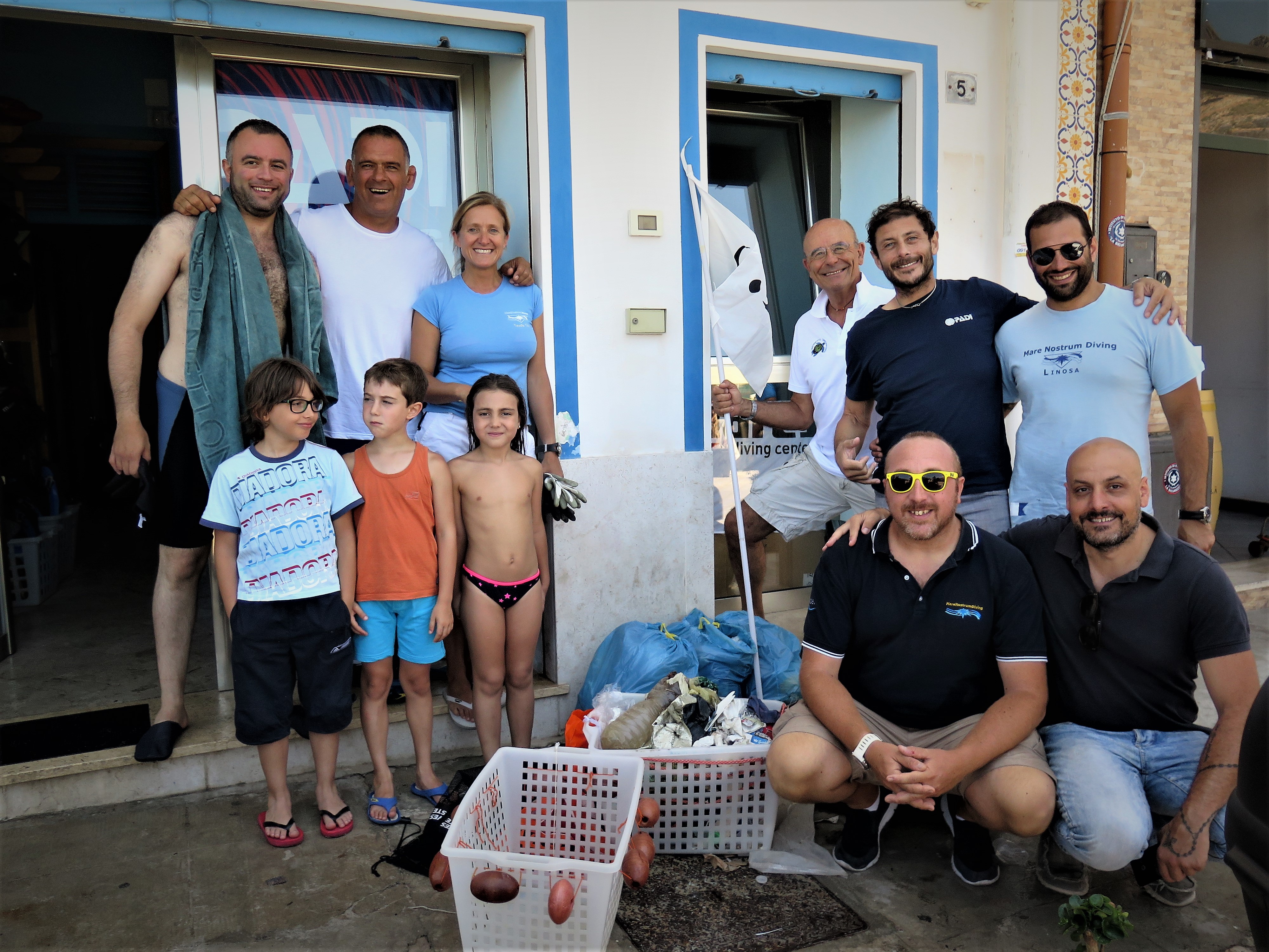
Una gran experiencia vivimos esta semana con motivo del #DíaMundialdelosOcéanos.
Como Help2Oceans Foundation nos sentimos felices y afortunados por contar con el apoyo de personas y organizaciones que creen en la misma causa.
Las cifras son tan solo una muestra:
Limpieza de playa: 41 costales con residuos clasificados.
Limpieza de fondo marino: 47 llantas, 9 costales (con peso estimado 600 kilos) y 160 criaturas marinas liberadas: crustáceos
Taller educativo en el Colegio Cajasai con 35 niños.
¡GRACIAS a todos quienes lo hicieron posible! Agenda del Mar Armada Colombia Maaji Claudia Bahamon Reserva Naval de Colombia 2 Oceans Diver Station
¡Unidos podemos hacer grandes cambios!
#DíaMundialDeLosOcéanos #SalvemosLosOcéanos #diveagainstdebris #facingmarinedebris #projectaware #EarthWarriors #WorldOceanDay
#MaresLimpios #seaflower #SaveOurOcean
llantas
Buenas
Help 2 Oceans Foundation
Jorge Dos Oceanos
47
15
1200.00
50
13.00
6.00
estimated
6145.00
47
38
Deficiente educacion
Deficiente control institucional
Deficiente aplicación del código de policia
On
kilograms
I have debris data to report
155
Calm (glassy to rippled) for waves 0 – 0.1 meter high
62
Camarones
Camarones
Released Unharmed
160
N/A
1
N/A
320
m2
meters
coral reef
110
15
49
Colombia
State\Province
Archipielago
City
San Andrés, Isla
Map Help
Dive Location
If you know your survey site coordinates, enter them manually in decimal degrees using WGS84 Map Datum. Use the minus sign for latitudes south of the equator and longitudes west of the Prime Meridian to 180 degrees.
If you do not know your survey site coordinates, click the “Map Location” tab to use the map to zoom into your survey site and drop the pin on the map to fall within your survey dive site in the water (not on land or the beach). Ensure you zoom in as much as possible to ensure data accuracy.
Entangled Help
Use the vertical tabs below to record any entangled animals you found of each type.
Calm (glassy to rippled) for waves 0 – 0.1 meter high
ft2
feet
coral reef
United States
State\Province
Hawaii
City
Kailua-Kona
Map Help
Dive Location
If you know your survey site coordinates, enter them manually in decimal degrees using WGS84 Map Datum. Use the minus sign for latitudes south of the equator and longitudes west of the Prime Meridian to 180 degrees.
If you do not know your survey site coordinates, click the “Map Location” tab to use the map to zoom into your survey site and drop the pin on the map to fall within your survey dive site in the water (not on land or the beach). Ensure you zoom in as much as possible to ensure data accuracy.
Entangled Help
Use the vertical tabs below to record any entangled animals you found of each type.
Calm (glassy to rippled) for waves 0 – 0.1 meter high
2
0
1
0
0
0
14
0
0
m2
0
0
meters
rocky reef
5
0
0
0
0
0
0
0
0
0
0
0
1
0
0
0
0
13
0
0
9
0
0
0
0
0
0
0
0
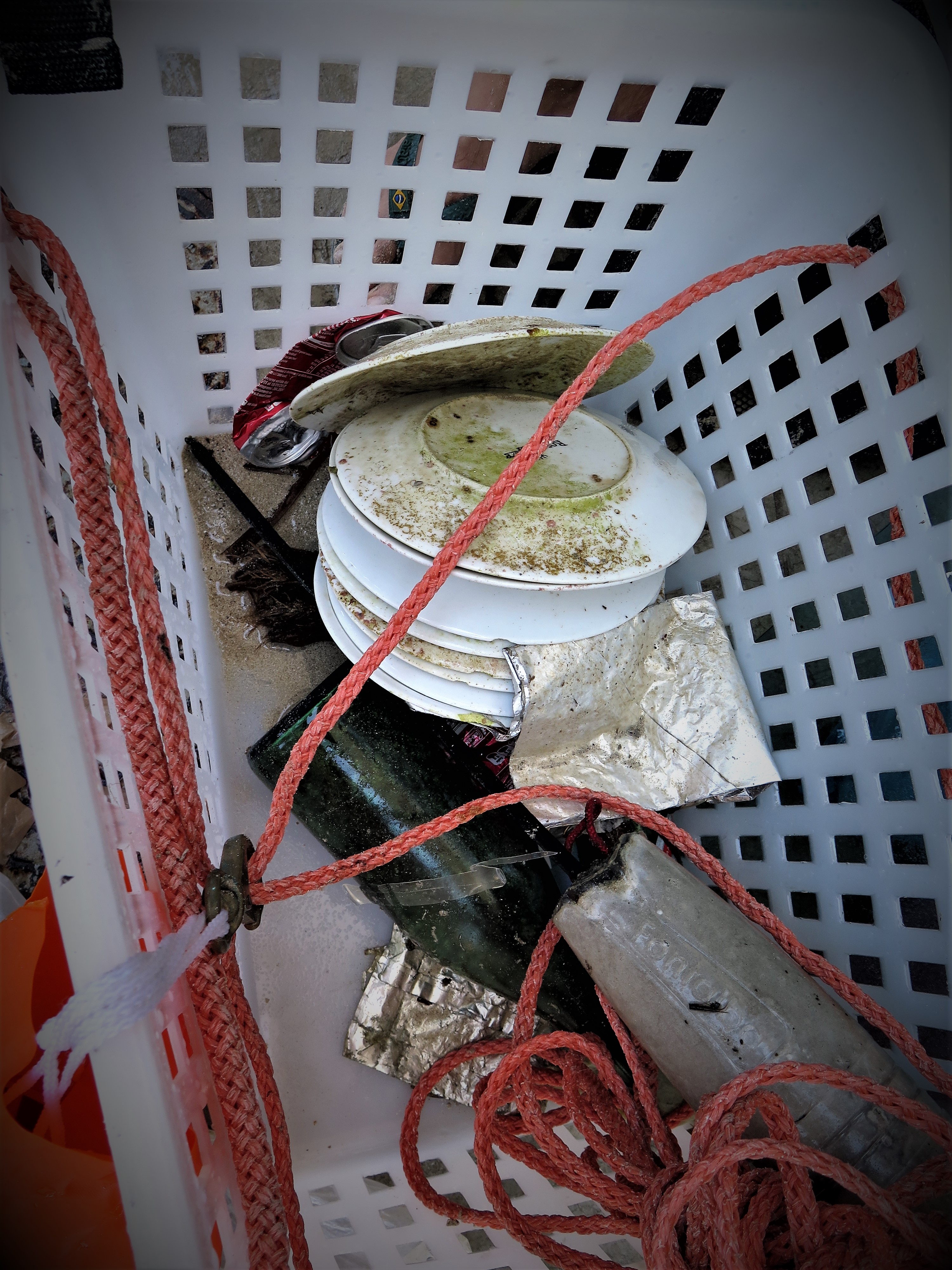
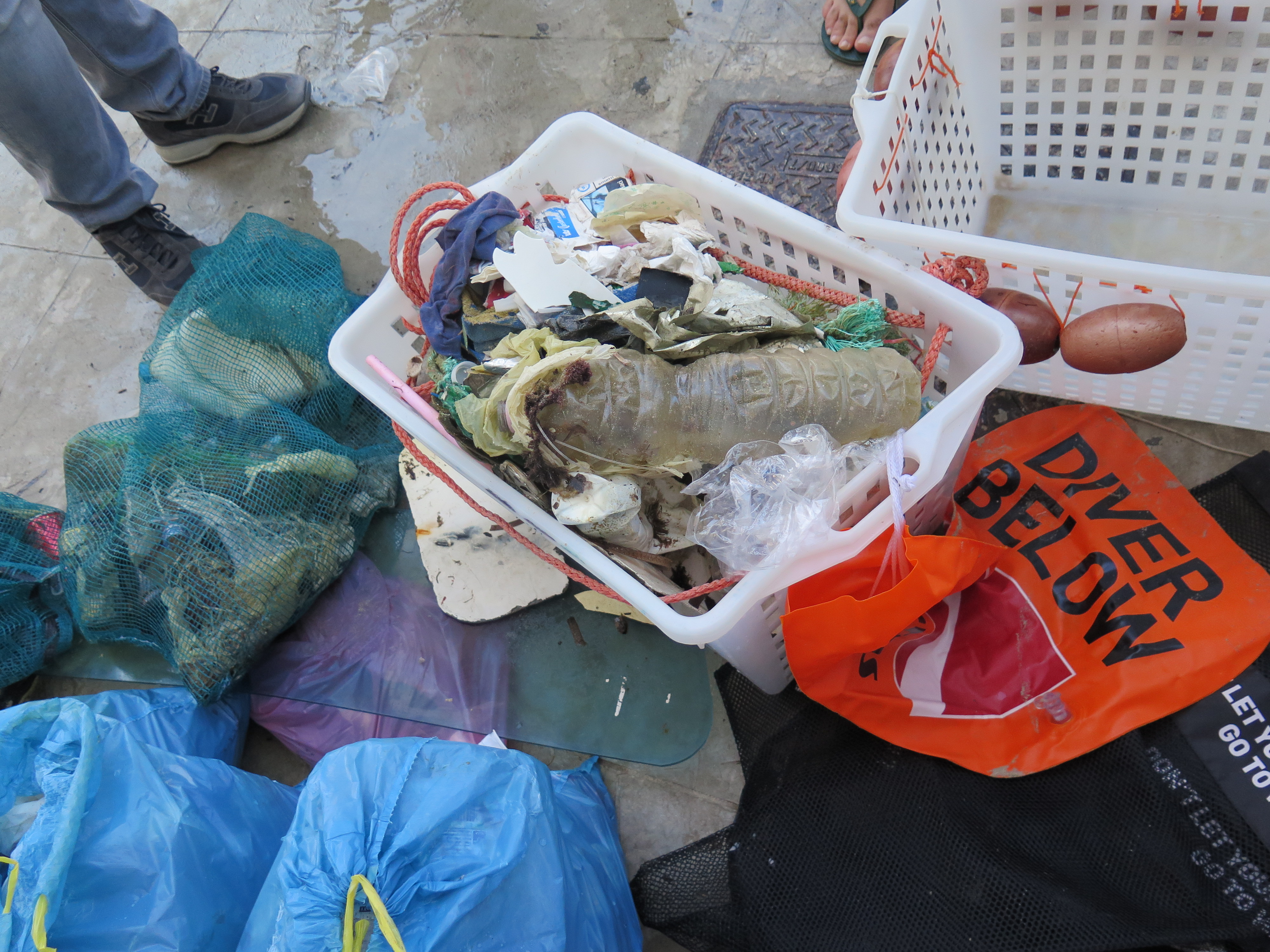
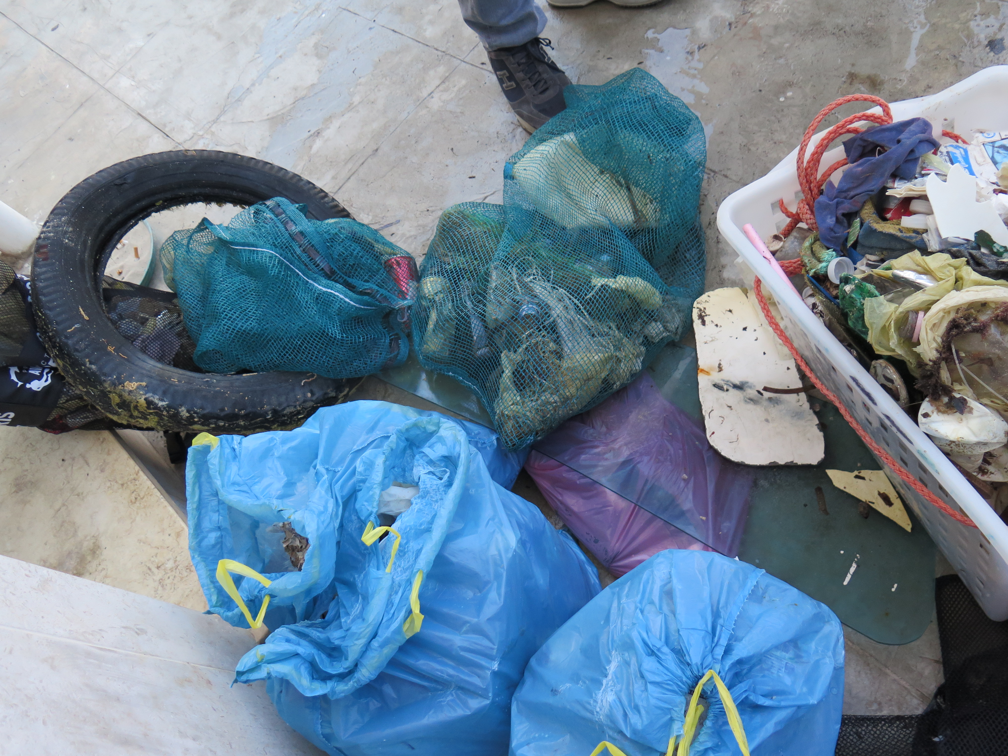
Italy
State\Province
SICILY
City
Palermo
Map Help
Dive Location
If you know your survey site coordinates, enter them manually in decimal degrees using WGS84 Map Datum. Use the minus sign for latitudes south of the equator and longitudes west of the Prime Meridian to 180 degrees.
If you do not know your survey site coordinates, click the “Map Location” tab to use the map to zoom into your survey site and drop the pin on the map to fall within your survey dive site in the water (not on land or the beach). Ensure you zoom in as much as possible to ensure data accuracy.
Entangled Help
Use the vertical tabs below to record any entangled animals you found of each type.
Calm (glassy to rippled) for waves 0 – 0.1 meter high
1
m2
2
meters
rocky reef
2
2
Italy
State\Province
Italia\Latina
City
Isola di Ponza
Map Help
Dive Location
If you know your survey site coordinates, enter them manually in decimal degrees using WGS84 Map Datum. Use the minus sign for latitudes south of the equator and longitudes west of the Prime Meridian to 180 degrees.
If you do not know your survey site coordinates, click the “Map Location” tab to use the map to zoom into your survey site and drop the pin on the map to fall within your survey dive site in the water (not on land or the beach). Ensure you zoom in as much as possible to ensure data accuracy.
Entangled Help
Use the vertical tabs below to record any entangled animals you found of each type.