ADS327 - Coral Garden
35
3
-8.27666, 115.5944
1
25
1
Very strong winds during the day and evenings for a few days.
Part of a table.
Above water: Dry and windy.
Underwater: Mild current; 30+ metre visibility.
Underwater: Mild current; 30+ metre visibility.
Aqua Dive Paradise
Yogii
2
3
2
3
3
3
10
7.00
53
30.00
2.00
3
estimated
18
2708.20
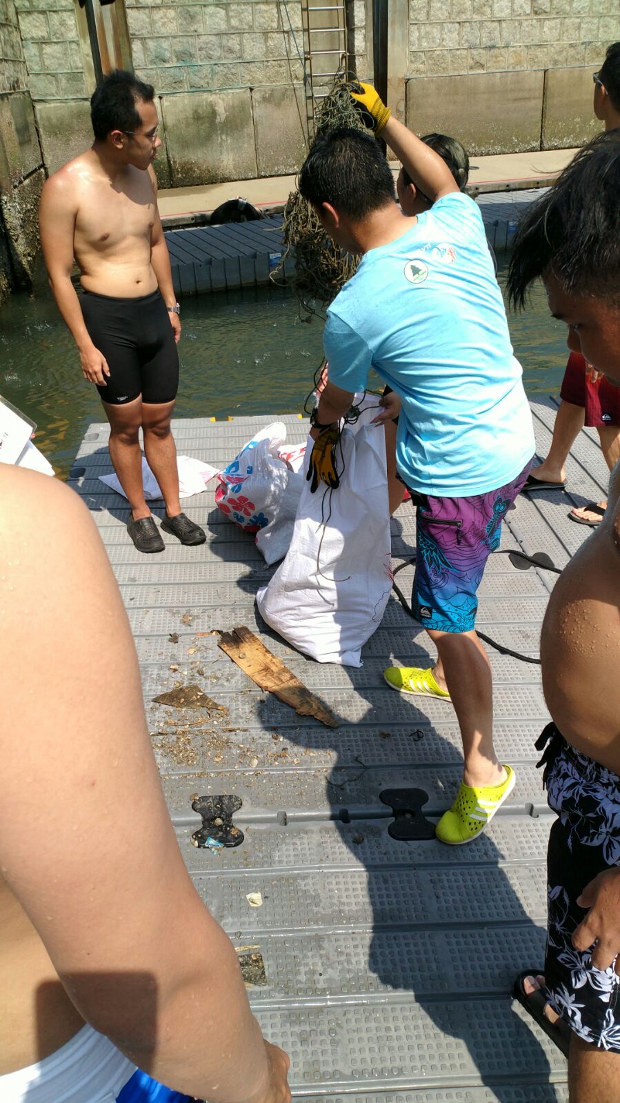
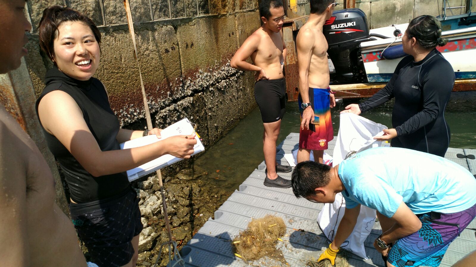
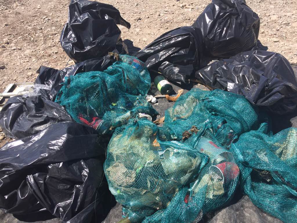
Plastic trash bags.
Plastic food wrappers.
Fishing hooks and lures on a fishing line.
On
kilograms
2
I have debris data to report
1
Smooth (wavelets) for waves 0.1 - 0.5 meter high
Plastic
Swimming crab
Released Unharmed
1
19
m2
meters
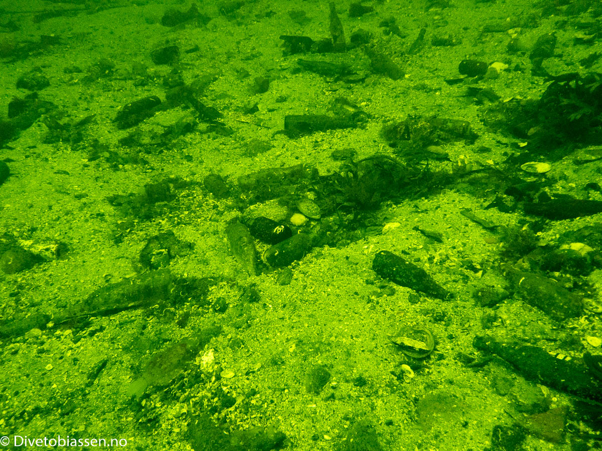
rocky reef
2
2
2
7
1
1
State\Province
Bali
City
Tulamben
Map Help
Dive Location
If you know your survey site coordinates, enter them manually in decimal degrees using WGS84 Map Datum. Use the minus sign for latitudes south of the equator and longitudes west of the Prime Meridian to 180 degrees.
If you do not know your survey site coordinates, click the “Map Location” tab to use the map to zoom into your survey site and drop the pin on the map to fall within your survey dive site in the water (not on land or the beach). Ensure you zoom in as much as possible to ensure data accuracy.
Entangled Help