ADS221 - Pointe Des Cascades
18
45.33125, -73.968028
1
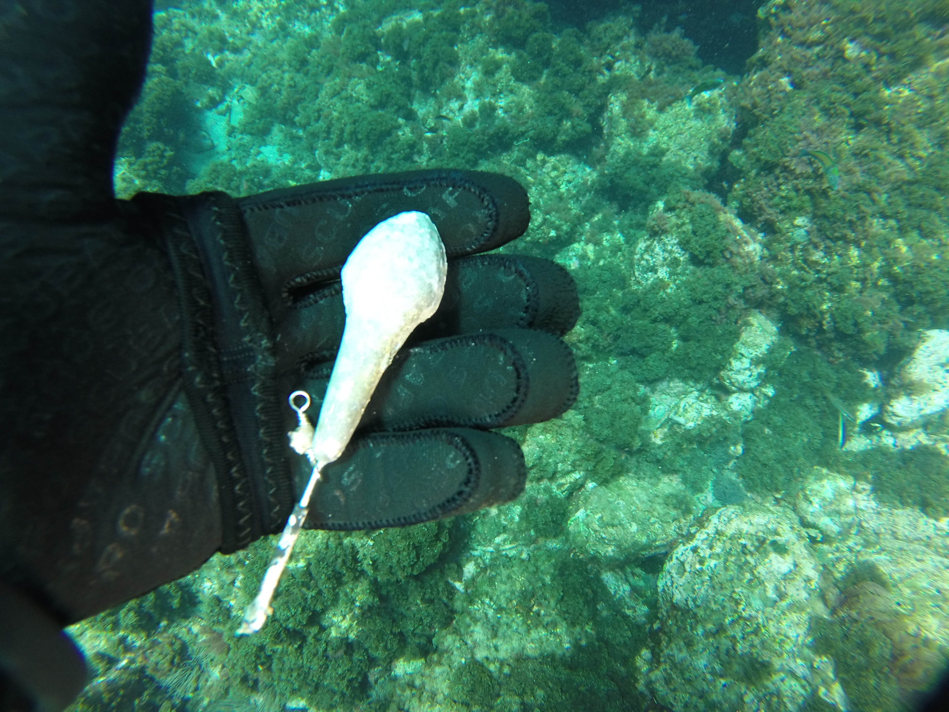
Thanks to Steve and Annabelle, our dive training site is cleaner. This was also part of their continuing education. Congratulation !
Sunny. A few showers
Didier Duprat
2
1
1
3
2
1
11.00
58
6.00
1.00
measured
300.00
glass
metal
plastic
On
pounds
I have debris data to report
2
Calm (glassy to rippled) for waves 0 – 0.1 meter high
m2


meters
kelp
7
1
44
State\Province
Quebec
City
Montreal
Map Help
Dive Location
If you know your survey site coordinates, enter them manually in decimal degrees using WGS84 Map Datum. Use the minus sign for latitudes south of the equator and longitudes west of the Prime Meridian to 180 degrees.
If you do not know your survey site coordinates, click the “Map Location” tab to use the map to zoom into your survey site and drop the pin on the map to fall within your survey dive site in the water (not on land or the beach). Ensure you zoom in as much as possible to ensure data accuracy.
Entangled Help