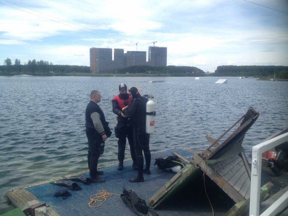
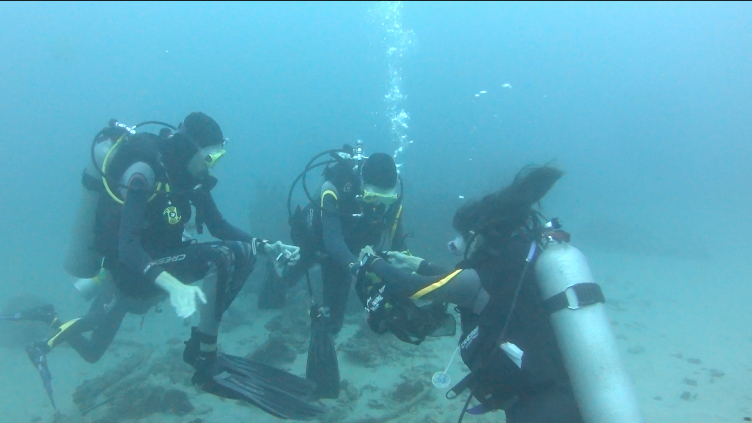
Shangri-la Marine Sanctuary
0
0
0
0
10.305289, 124.021585
0
0
0
sand
0
0
0
0
0
It is well maintained and usually relatively clean.
no
There may have been a cleanup dive earlier in the day by another group.
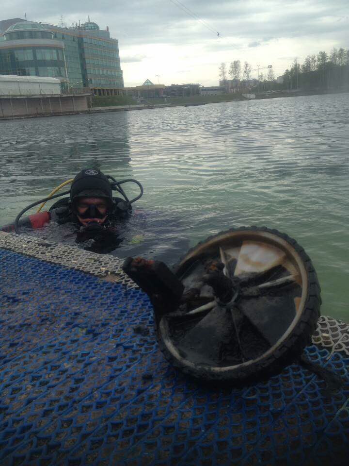
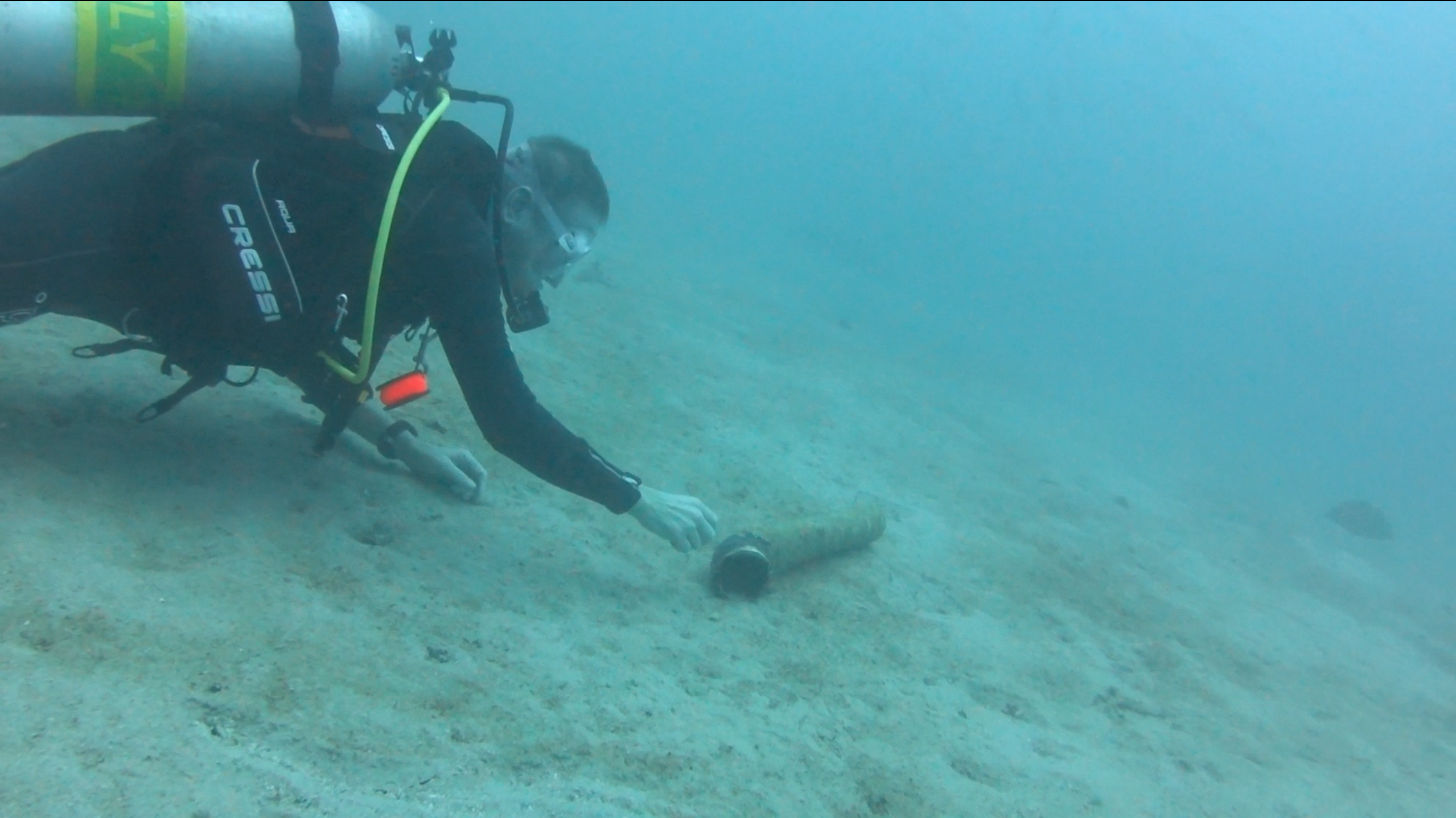
a plastic bottle that had already become home for an anemone
sunny
Scotty's Action Sports Network
Jampa
0
0
0
0
0
0
0
0
0
0
0
0
0
0
0
0
0
0
0
2
0
0
0
0
0
0
0
0
0
0
0
0
0
0
0
0
0.00
54
21.00
5.00
0
estimated
0
0
0
0
3368.79
0
0
0
0
0
plastic bottle
0
On
kilograms
0
Our Survey Site was free of debris
0
0
0
Slight for waves 0.5 -1.25 meter high
0
0
0
0
0
0
0
m2
0
0
meters
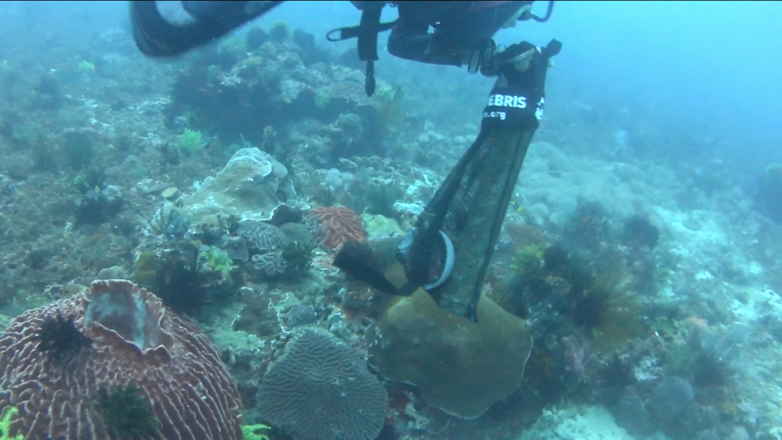
coral reef
0
0
0
0
0
0
0
0
0
0
0
0
0
0
0
0
0
0
0
0
0
0
0
0
0
0
0
0
0
State\Province
Cebu
City
Lapu-Lapu City
Map Help
Dive Location
If you know your survey site coordinates, enter them manually in decimal degrees using WGS84 Map Datum. Use the minus sign for latitudes south of the equator and longitudes west of the Prime Meridian to 180 degrees.
If you do not know your survey site coordinates, click the “Map Location” tab to use the map to zoom into your survey site and drop the pin on the map to fall within your survey dive site in the water (not on land or the beach). Ensure you zoom in as much as possible to ensure data accuracy.
Entangled Help