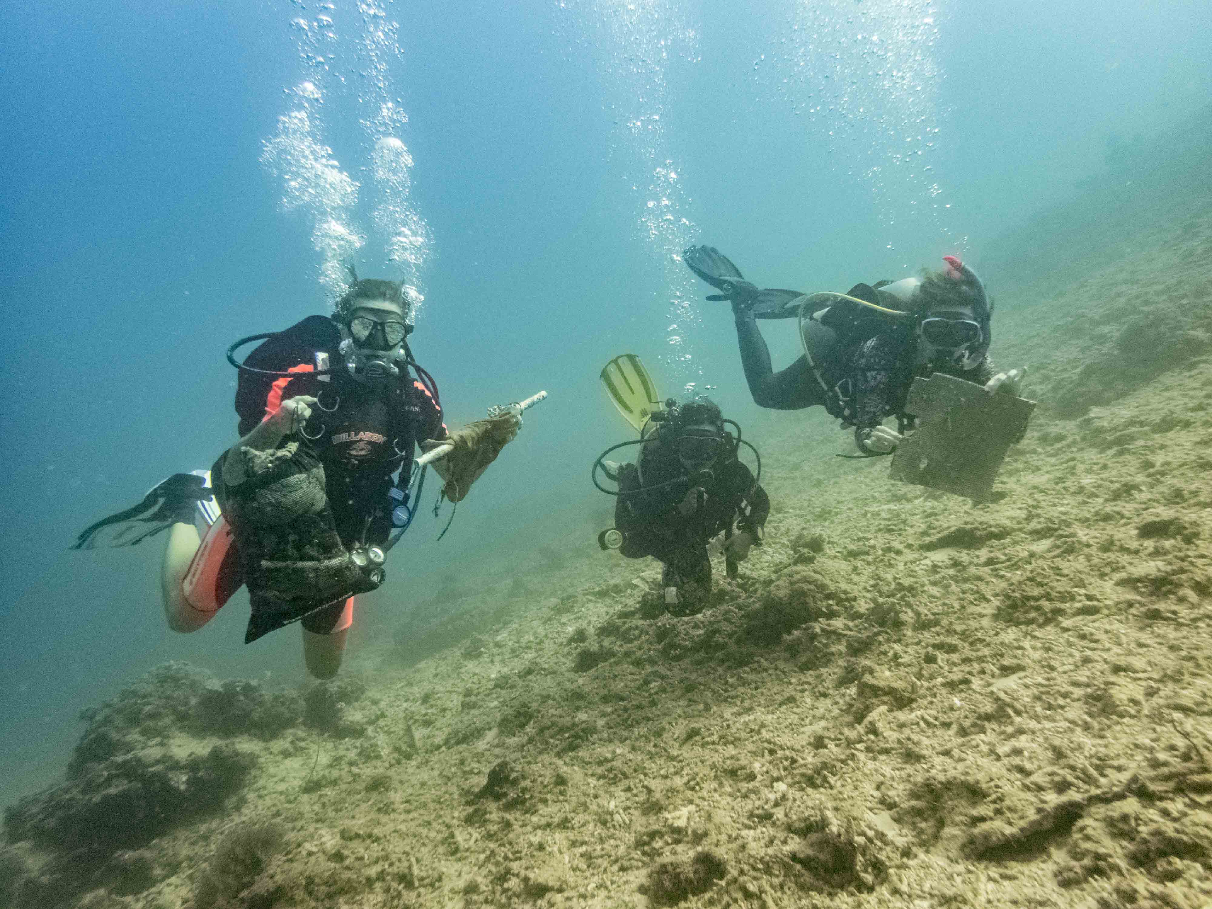
ADS137 - Vouliagmeni Lake Loutraki
77
13
sand
0
25
1
3
38.032241205816, 22.873653559569
ADS137 - Vouliagmeni Lake Loutraki 21/4/2018
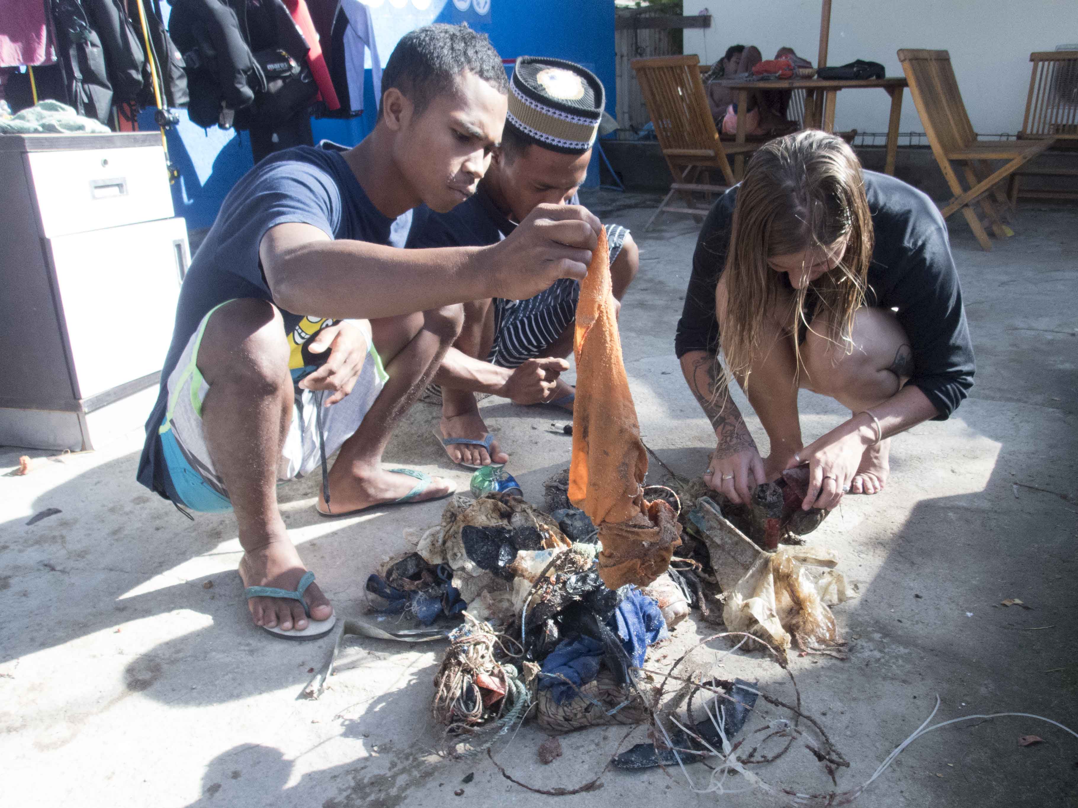
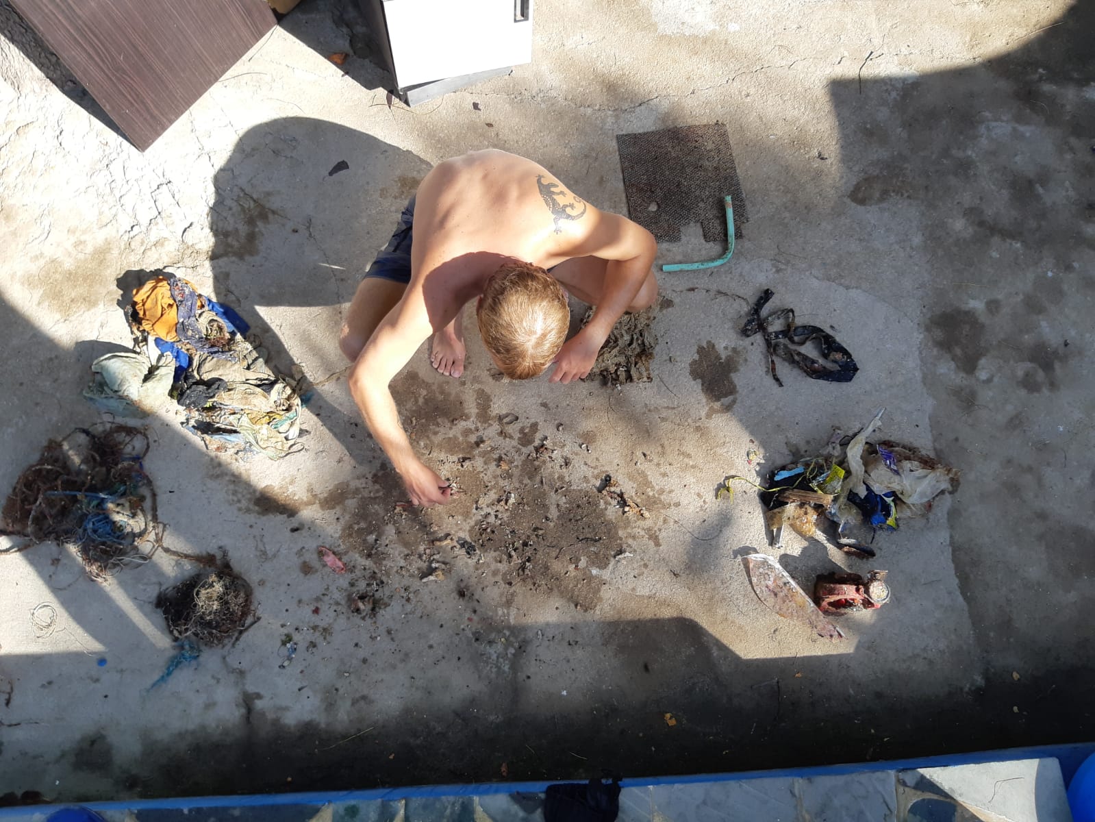
At this event we were 6 divers and 4 land support
some of the fish died at the process
Very good
2
2
1
1
1
1
1
1
1
1
1
1
1
1
sole
pen
hand net
Swimming Cap
flashlight
paintbrush
pils tablet
searchlight with cable
plastic mesh
umbrella web
boat light
Hair Claw Clamps Clips
backpack (net)
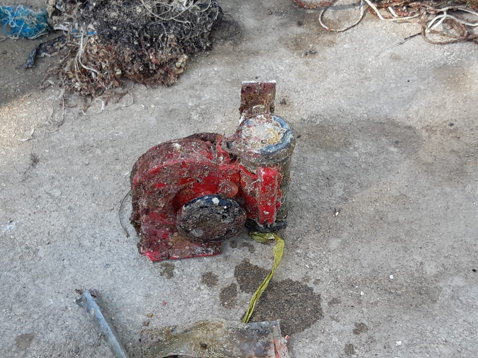
cartridge cover
Loutraki Dive Club
Nikos_Ba
14
1
27
7
2
7
1
12
100
47.00
41
18.00
2.00
3
measured
0
1560.00
2
On
kilograms
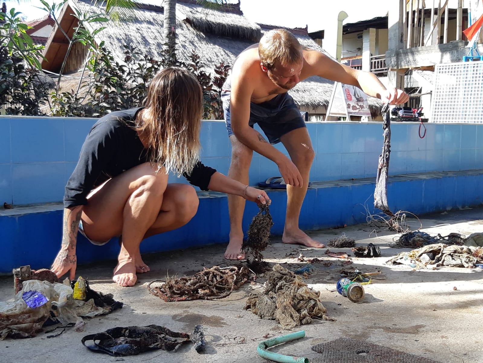
I have debris data to report
13
Calm (glassy to rippled) for waves 0 – 0.1 meter high
8
plastic bottles
Injured
various small fish
CRABs + crayfish
Released Unharmed
45
20
cans , plastic bottles
m2


meters
seagrass
5
2
1
1
11
241
4
2
19
18
State\Province
Corinthia
City
Loutraki
Map Help
Dive Location
If you know your survey site coordinates, enter them manually in decimal degrees using WGS84 Map Datum. Use the minus sign for latitudes south of the equator and longitudes west of the Prime Meridian to 180 degrees.
If you do not know your survey site coordinates, click the “Map Location” tab to use the map to zoom into your survey site and drop the pin on the map to fall within your survey dive site in the water (not on land or the beach). Ensure you zoom in as much as possible to ensure data accuracy.
Entangled Help