Smooth (wavelets) for waves 0.1 - 0.5 meter high
m2
meters
coral reef
Saint Lucia
City
Soufriere
Map Help
Dive Location
If you know your survey site coordinates, enter them manually in decimal degrees using WGS84 Map Datum. Use the minus sign for latitudes south of the equator and longitudes west of the Prime Meridian to 180 degrees.
If you do not know your survey site coordinates, click the “Map Location” tab to use the map to zoom into your survey site and drop the pin on the map to fall within your survey dive site in the water (not on land or the beach). Ensure you zoom in as much as possible to ensure data accuracy.
Entangled Help
Use the vertical tabs below to record any entangled animals you found of each type.
Calm (glassy to rippled) for waves 0 – 0.1 meter high
2
2
6
m2
meters
coral reef
2
3
1
5
4
1
1
1
Hong Kong S.A.R., China
Map Help
Dive Location
If you know your survey site coordinates, enter them manually in decimal degrees using WGS84 Map Datum. Use the minus sign for latitudes south of the equator and longitudes west of the Prime Meridian to 180 degrees.
If you do not know your survey site coordinates, click the “Map Location” tab to use the map to zoom into your survey site and drop the pin on the map to fall within your survey dive site in the water (not on land or the beach). Ensure you zoom in as much as possible to ensure data accuracy.
Entangled Help
Use the vertical tabs below to record any entangled animals you found of each type.
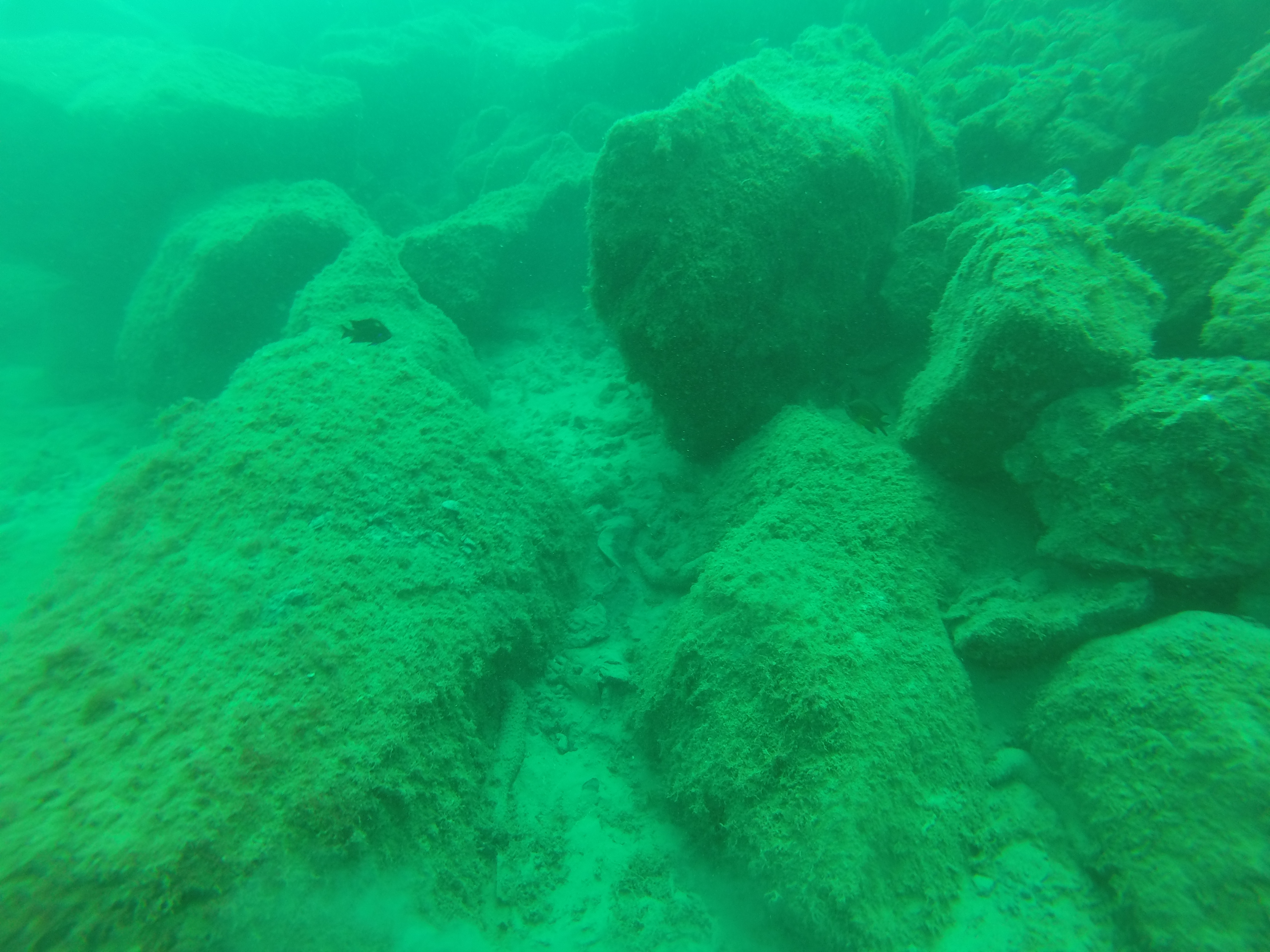
The dive site is an area close to a busy beach. It is enclosed by wavebreakers, which make it a place without current. Because of this all the rubbish stay "trapped" there between the rocks and the silt bottom.
bench cushion
Sunny, some Westy wind
Lanzarote Non Stop Divers
Carlos Campaña
2
9
5
1
8
6
3
48
12
1
1
20.00
60
11.50
3.00
estimated
4058.00
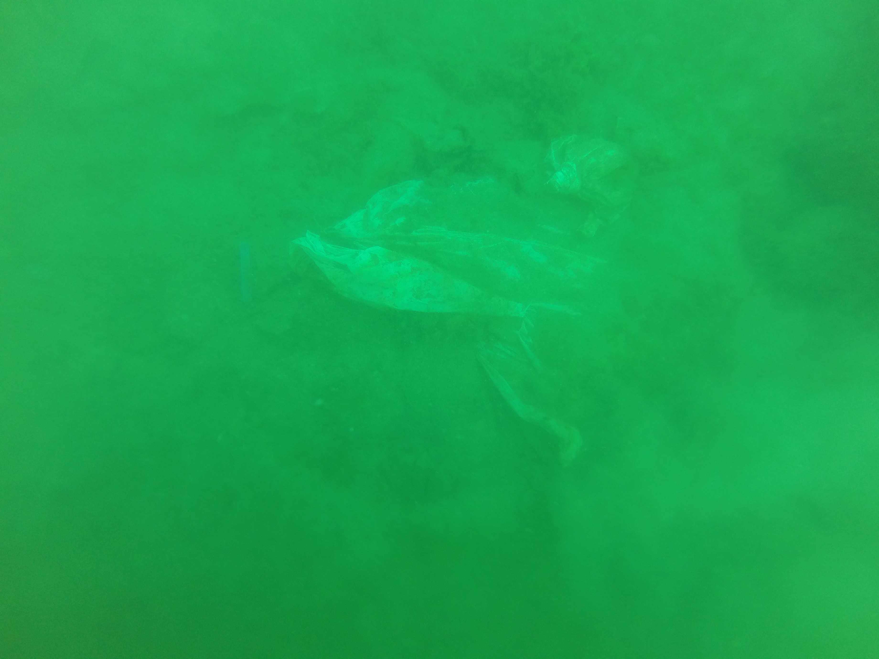
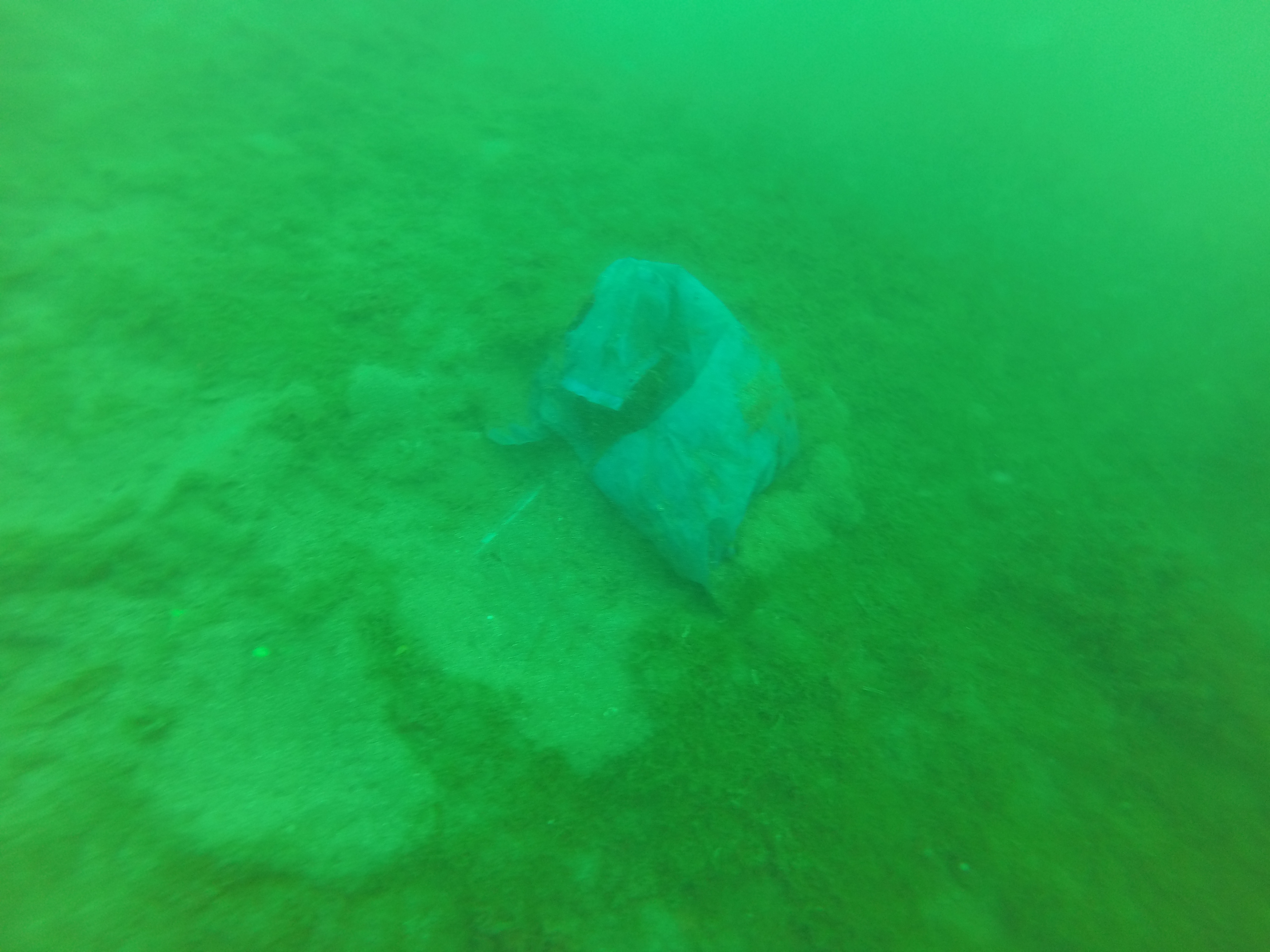
plastic bags : too many buried in the silt
fishing nets
On
kilograms
I have debris data to report
Calm (glassy to rippled) for waves 0 – 0.1 meter high
9
m2
1
Fishing nets
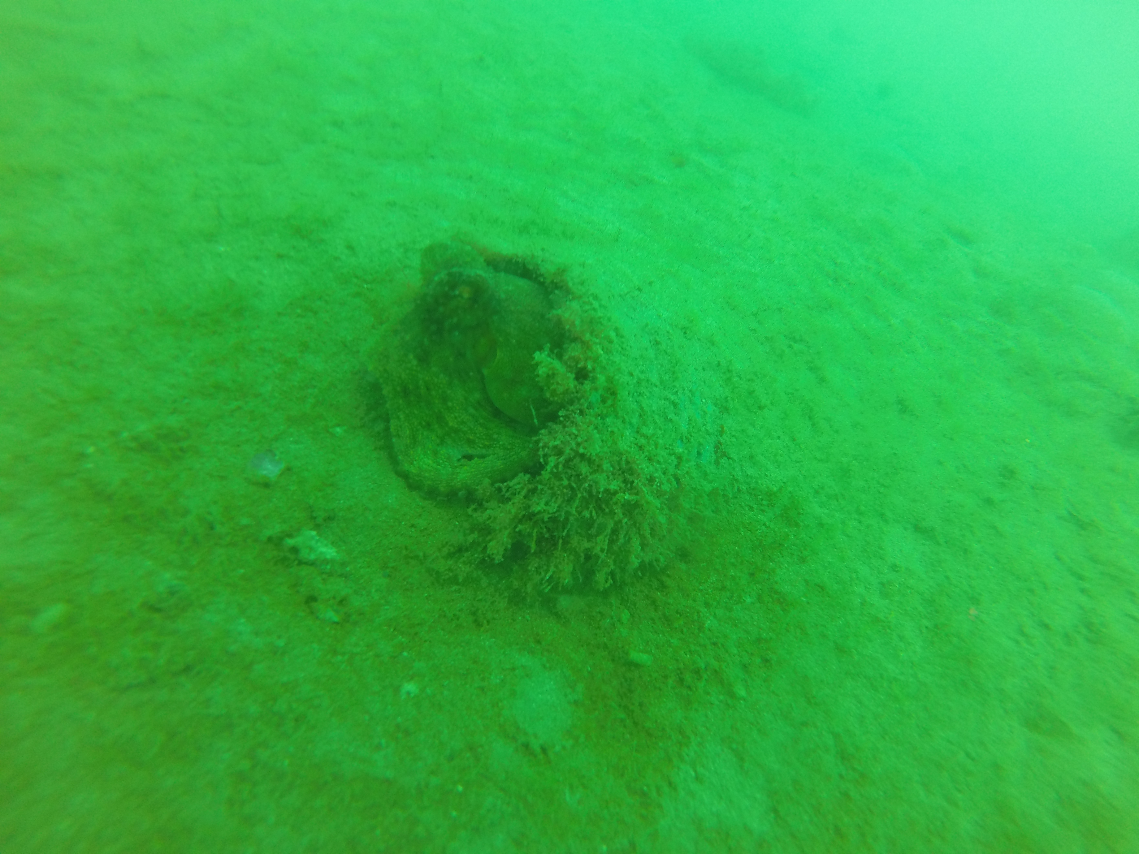
Sea cucumber
Released Unharmed
meters
rocky reef
10
27
Spain
State\Province
Las Palmas
City
Playa Blanca
Map Help
Dive Location
If you know your survey site coordinates, enter them manually in decimal degrees using WGS84 Map Datum. Use the minus sign for latitudes south of the equator and longitudes west of the Prime Meridian to 180 degrees.
If you do not know your survey site coordinates, click the “Map Location” tab to use the map to zoom into your survey site and drop the pin on the map to fall within your survey dive site in the water (not on land or the beach). Ensure you zoom in as much as possible to ensure data accuracy.
Entangled Help
Use the vertical tabs below to record any entangled animals you found of each type.
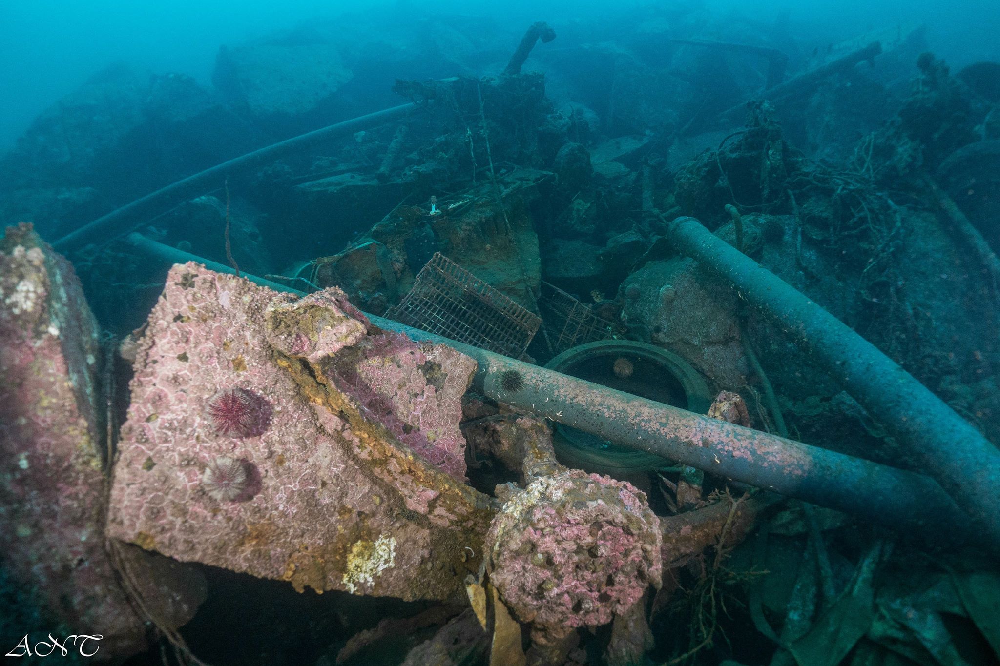
After visiting the island for the first time after the typhoon we already had an idea of where to find the most debris under water. We did not survey a big area, we try to focus on cleaning as much trash out as we could. Besides the 7 divers we also had 11 non-divers on the shore who simultaneously measured, sorted and logged all the items that were collected by the divers.
Typhoon Mangkhut
Blender, mahjong tiles, clothing items
Sunny
1
3
2
1
1
1
1
8
1
1
3
1
1
5
1
1
Mop
Electronic wire
Plastic tooth pick with dental floss
Flower pot
Sweep
Inflatable swim ring
Plastic flower
Mahjong tiles
Hair comb
Gambling chip
Stationary
Painting tray
Soap holder
Tarp bag
Dustbin
Blender
Tursiopsdivers
Tursiopsdivers
1
3
1
35
2
2
20
2
10
29
7
11
33
153
3
2
104.08
60
3.00
1.00
5
measured
2
2
30.00
1
2
Plastic bags
Cans
On
kilograms
I have debris data to report
1
1
Calm (glassy to rippled) for waves 0 – 0.1 meter high
16
5
4
1
6
5
m2
3
meters
coral reef
2
1
16
1
3
1
209
2
1
1
1
Hong Kong S.A.R., China
Map Help
Dive Location
If you know your survey site coordinates, enter them manually in decimal degrees using WGS84 Map Datum. Use the minus sign for latitudes south of the equator and longitudes west of the Prime Meridian to 180 degrees.
If you do not know your survey site coordinates, click the “Map Location” tab to use the map to zoom into your survey site and drop the pin on the map to fall within your survey dive site in the water (not on land or the beach). Ensure you zoom in as much as possible to ensure data accuracy.
Entangled Help
Use the vertical tabs below to record any entangled animals you found of each type.
Calm (glassy to rippled) for waves 0 – 0.1 meter high
0
0
1
0
0
0
0
m2
1
0
meters
other
2
0
0
0
0
1
0
0
0
0
0
2
0
0
0
2
3
0
0
1
0
0
0
0
0
0
0
0
Italy
State\Province
Roma
City
Trevignano Romano
Map Help
Dive Location
If you know your survey site coordinates, enter them manually in decimal degrees using WGS84 Map Datum. Use the minus sign for latitudes south of the equator and longitudes west of the Prime Meridian to 180 degrees.
If you do not know your survey site coordinates, click the “Map Location” tab to use the map to zoom into your survey site and drop the pin on the map to fall within your survey dive site in the water (not on land or the beach). Ensure you zoom in as much as possible to ensure data accuracy.
Entangled Help
Use the vertical tabs below to record any entangled animals you found of each type.
Calm (glassy to rippled) for waves 0 – 0.1 meter high
m2
meters
kelp
22
5
Norway
State\Province
Nordland
City
Ballstad
Map Help
Dive Location
If you know your survey site coordinates, enter them manually in decimal degrees using WGS84 Map Datum. Use the minus sign for latitudes south of the equator and longitudes west of the Prime Meridian to 180 degrees.
If you do not know your survey site coordinates, click the “Map Location” tab to use the map to zoom into your survey site and drop the pin on the map to fall within your survey dive site in the water (not on land or the beach). Ensure you zoom in as much as possible to ensure data accuracy.
Entangled Help
Use the vertical tabs below to record any entangled animals you found of each type.
Smooth (wavelets) for waves 0.1 - 0.5 meter high
m2
meters
kelp
Norway
Map Help
Dive Location
If you know your survey site coordinates, enter them manually in decimal degrees using WGS84 Map Datum. Use the minus sign for latitudes south of the equator and longitudes west of the Prime Meridian to 180 degrees.
If you do not know your survey site coordinates, click the “Map Location” tab to use the map to zoom into your survey site and drop the pin on the map to fall within your survey dive site in the water (not on land or the beach). Ensure you zoom in as much as possible to ensure data accuracy.
Entangled Help
Use the vertical tabs below to record any entangled animals you found of each type.
Calm (glassy to rippled) for waves 0 – 0.1 meter high
16
0
2
0
6
0
3
m2
0
12
meters
other
63
0
1
0
0
0
0
5
0
0
0
0
0
30
0
0
0
59
0
0
0
0
5
0
0
0
0
1
0
Qatar
State\Province
Doha
City
Mesaieed
Map Help
Dive Location
If you know your survey site coordinates, enter them manually in decimal degrees using WGS84 Map Datum. Use the minus sign for latitudes south of the equator and longitudes west of the Prime Meridian to 180 degrees.
If you do not know your survey site coordinates, click the “Map Location” tab to use the map to zoom into your survey site and drop the pin on the map to fall within your survey dive site in the water (not on land or the beach). Ensure you zoom in as much as possible to ensure data accuracy.
Entangled Help
Use the vertical tabs below to record any entangled animals you found of each type.
A quick debris dive completed after our day training - it was brilliant to see one of our younger divers getting involved and excited in completely a debris dive. A big thank you to Keegan for his help on the dive (and his little brother for also collecting some debris and putting in the bin when helping with shore cover - every bit helps). Stoney cove is a training dive quarry, and suffers from the debris left behind by divers (although unintentional, dives often leave behind more than just bubbles). We found broken plastic from diving masks, rubber straps, tape from cylinders, stickers from dive gear, springs from inside diving equipment, and cable ties). We also found a lot of paper fragments on this dive, possibly for training notes. Cigarette butts were found in the water, once again highlighting that these throw away parts of a cigarette do end up in our waters and cause a possible chocking harness to marine life. This is a great dive site and very popular, but a worry that if we are leaving behind debris from training debris, what are we leaving behind on pleasure dives around the world?
General diving training, a lot of the debris found appears to be related to scuba training (broken dive gear or plastic snapped off of equipment)
Sunny
2
1
Metal Springs
Hair Bobbles
Scuba Leeds
Susannah Noble
1
4
2
28
3
1
1.50
45
8.00
5.00
measured
1007.00
1
Plastic fragments from food consumed by the surface
Broken pieces of scuba equipment, like mask straps or snapped off pieces of plastic
Cable ties from diving equipment
1
On
kilograms
I have debris data to report
Calm (glassy to rippled) for waves 0 – 0.1 meter high
m2
meters
other
2
5
1
6
1
5
United Kingdom
Map Help
Dive Location
If you know your survey site coordinates, enter them manually in decimal degrees using WGS84 Map Datum. Use the minus sign for latitudes south of the equator and longitudes west of the Prime Meridian to 180 degrees.
If you do not know your survey site coordinates, click the “Map Location” tab to use the map to zoom into your survey site and drop the pin on the map to fall within your survey dive site in the water (not on land or the beach). Ensure you zoom in as much as possible to ensure data accuracy.
Entangled Help
Use the vertical tabs below to record any entangled animals you found of each type.