ADS480 - Pompano Beach 1st Reef
26.2227, -80.0866
1
There are a few small nurse sharks and lion fish that hang out in the pot holes in the rocky section of the reef. Be sure there isn't one in there before you reach into it.
No, it was just me swimming solo.
Nothing out of the ordinary
don burde
1
1
1.00
30
15.00
12.00
estimated
3000.00
On
pounds
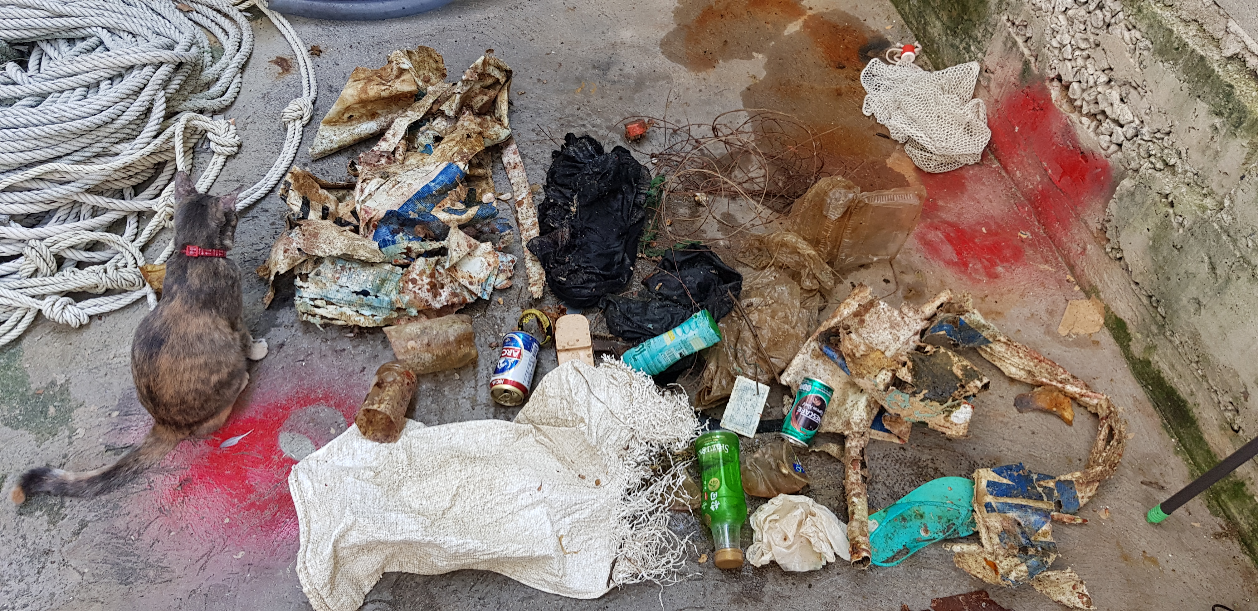
I have debris data to report
Moderate to rough for waves greater than 1.25 meters
ft2

feet
rocky reef
1
1
State\Province
FL
City
Tamarac
Map Help
Dive Location
If you know your survey site coordinates, enter them manually in decimal degrees using WGS84 Map Datum. Use the minus sign for latitudes south of the equator and longitudes west of the Prime Meridian to 180 degrees.
If you do not know your survey site coordinates, click the “Map Location” tab to use the map to zoom into your survey site and drop the pin on the map to fall within your survey dive site in the water (not on land or the beach). Ensure you zoom in as much as possible to ensure data accuracy.
Entangled Help