
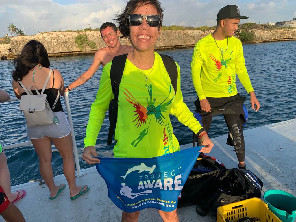
ADS499 - Spaans Lagoon
12
7
0
12.470307953115, -69.980066674621
0
1
0
silt
0
12
0
0
3
Spiny star
3
0
0
0
0
0
0
0
0
0
0
0
0
0
0
0
0
0
0
Helmet
Scubblebubbles
Nichole Danser
1
0
4
18
0
0
0
0
0
0
0
0
5
0
0
0
2
0
0
10
0
0
0
0
13
4
2
3
2
0
0
1
0
0
65.00
72
4.00
0.50
5
estimated
0
0
80.00
0
8
0
0
0
0
On
kilograms
0
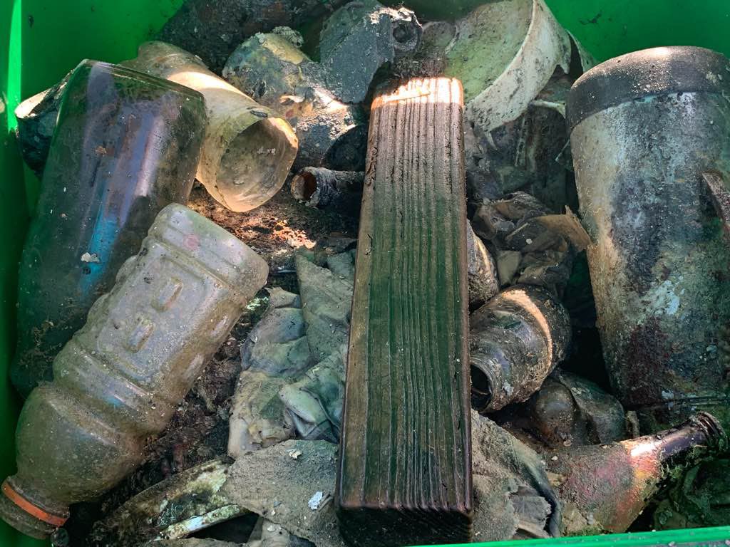
I have debris data to report
42
1
0
Calm (glassy to rippled) for waves 0 – 0.1 meter high
2
0
1
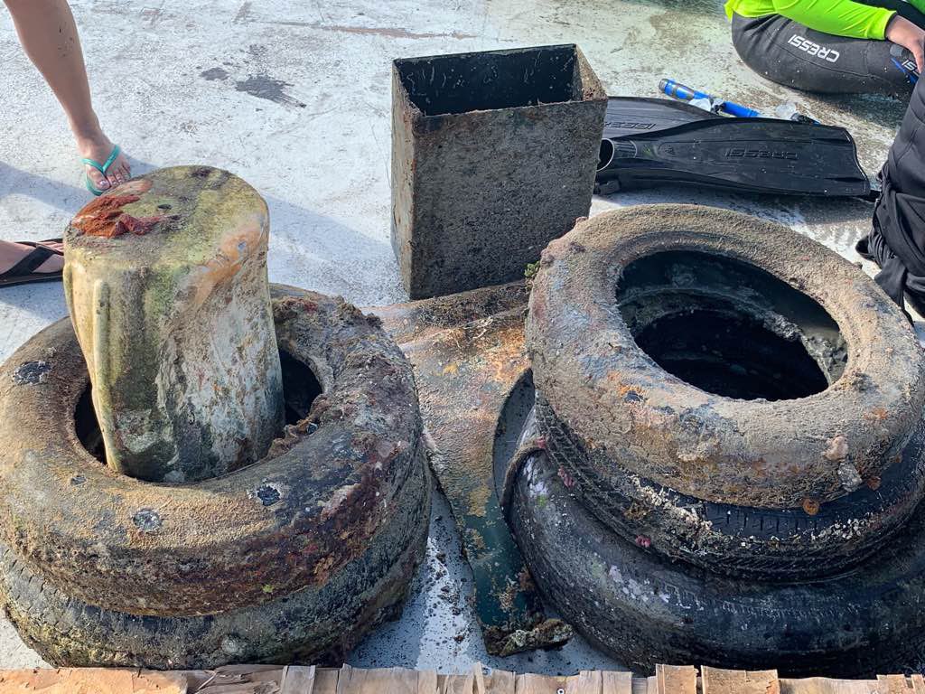
Tire
Crabs And Shrimp
Released Unharmed
11
0
1
0
0
m2

0
2
3
Tire
Sea Star
Released Unharmed
meters
seagrass
6
0
2
1
0
0
0
0
0
0
0
0
0
0
0
11
8
0
0
0
0
14
0
0
1
5
2
0
City
Pos Chiquito
Map Help
Dive Location
If you know your survey site coordinates, enter them manually in decimal degrees using WGS84 Map Datum. Use the minus sign for latitudes south of the equator and longitudes west of the Prime Meridian to 180 degrees.
If you do not know your survey site coordinates, click the “Map Location” tab to use the map to zoom into your survey site and drop the pin on the map to fall within your survey dive site in the water (not on land or the beach). Ensure you zoom in as much as possible to ensure data accuracy.
Entangled Help


