Menu

Moalboal Bay

1
1
0

9.9350850229655, 123.39150869467

2
0
0
coral
0
0
0
2
0
No
Fishing weight
Calm and sunny
0
0
0
0
0
0
0
0
0
0
0
0
0
0
0
0
0
0
0
0
Savedra Dive Centre
Katie Stoddart
0
0
0
0
0
0
0
0
0
0
0
0
0
0
0
0
0
0
0
1
0
0
0
0
0
0
0
0
0
0
0
0
0
0
0.10
30
18.00
5.00
0
estimated
0
0
889.67
0
0
0
0
0
Fishing line
0
On
kilograms
0
I have debris data to report
0
0
0
Calm (glassy to rippled) for waves 0 – 0.1 meter high
0
0
0
0
0
0
0
m2
0
0
meters
coral reef
0
0
0
0
0
0
0
0
0
0
0
0
0
0
0
0
0
0
0
0
0
0
0
0
0
0
0
0
Philippines
State\Province
Cebu
City
Moalboal
Map Help


Dive Location

If you know your survey site coordinates, enter them manually in decimal degrees using WGS84 Map Datum. Use the minus sign for latitudes south of the equator and longitudes west of the Prime Meridian to 180 degrees.

If you do not know your survey site coordinates, click the “Map Location” tab to use the map to zoom into your survey site and drop the pin on the map to fall within your survey dive site in the water (not on land or the beach). Ensure you zoom in as much as possible to ensure data accuracy.

Entangled Help


Use the vertical tabs below to record any entangled animals you found of each type.

Moalboal Bay

1
0
0
0

9.935737, 123.389345

0
0
0
coral
0
0
0
15
0
No
Savedra
Rathgeber Sven
0
0
0
0
0
0
0
0
0
0
0
0
0
0
0
0
1
0
0
1
0
0
0
0
0
0
0
0
0
0
0
0
0
0
0
0
0.15
30
15.00
6.00
0
estimated
0
0
0
0
50.00
0
0
0
0
0
Plastic
Fishing line
0
On
kilograms
0
I have debris data to report
0
0
0
Calm (glassy to rippled) for waves 0 – 0.1 meter high
0
0
0
0
1
0
0
m2
0
0
meters
rocky reef
0
0
0
0
0
0
0
0
0
0
0
0
0
0
0
0
0
0
0
0
0
0
0
0
0
0
0
0
0
Philippines
State\Province
Cebu
City
Moalboal
Map Help


Dive Location

If you know your survey site coordinates, enter them manually in decimal degrees using WGS84 Map Datum. Use the minus sign for latitudes south of the equator and longitudes west of the Prime Meridian to 180 degrees.

If you do not know your survey site coordinates, click the “Map Location” tab to use the map to zoom into your survey site and drop the pin on the map to fall within your survey dive site in the water (not on land or the beach). Ensure you zoom in as much as possible to ensure data accuracy.

Entangled Help


Use the vertical tabs below to record any entangled animals you found of each type.

Moalboal Bay

0
0
0
0

9.948934, 123.365407

0
0
0
coral
0
0
0
10
0
No
No
No
Fishing hooks
Hot
Savedra
Maxim Vilenskii
0
0
0
0
0
0
0
0
0
0
0
0
0
0
0
0
0
0
0
1
0
0
0
0
3
0
0
0
0
0
0
0
0
0
0
0
1.00
30
12.00
3.00
0
estimated
0
0
0
0
7475.51
0
0
0
0
0
Plastic
Fishing gear
Sachets
0
On
kilograms
0
I have debris data to report
0
0
0
Calm (glassy to rippled) for waves 0 – 0.1 meter high
0
0
0
0
0
0
0
m2
0
0
meters
coral reef
0
0
0
0
0
0
0
0
0
0
0
0
0
0
0
0
0
0
0
0
0
0
0
0
0
0
0
0
0
Philippines
State\Province
Moalboal
City
Cebu
Map Help


Dive Location

If you know your survey site coordinates, enter them manually in decimal degrees using WGS84 Map Datum. Use the minus sign for latitudes south of the equator and longitudes west of the Prime Meridian to 180 degrees.

If you do not know your survey site coordinates, click the “Map Location” tab to use the map to zoom into your survey site and drop the pin on the map to fall within your survey dive site in the water (not on land or the beach). Ensure you zoom in as much as possible to ensure data accuracy.
Entangled Help


Use the vertical tabs below to record any entangled animals you found of each type.

Toya Pakeh

43
0
0
0

-8.682235, 115.481566

0
0
0
coral
0
83
0
4
0
Rainy Season
Flip flops
Sun/Rain
Ceningan Divers
Georgina Hayes
0
0
0
18
0
0
0
0
0
0
2
0
2
0
1
0
0
1
2
10
0
0
0
0
0
0
0
0
0
2
0
0
0
0
0
0
4.00
45
25.00
1.00
0
estimated
0
0
0
5
9016.08
0
0
0
0
0
Food wrappers
Plastic bags
Fishing line
0
On
kilograms
0
I have debris data to report
1
0
0
Smooth (wavelets) for waves 0.1 - 0.5 meter high
0
0
2
0
0
0
0
m2
0
1
meters
coral reef
0
0
0
0
0
0
0
0
0
1
0
0
0
0
0
0
0
0
0
0
0
0
0
0
0
0
0
0
0
Indonesia
City
Nusa Penida
Map Help


Dive Location

If you know your survey site coordinates, enter them manually in decimal degrees using WGS84 Map Datum. Use the minus sign for latitudes south of the equator and longitudes west of the Prime Meridian to 180 degrees.

If you do not know your survey site coordinates, click the “Map Location” tab to use the map to zoom into your survey site and drop the pin on the map to fall within your survey dive site in the water (not on land or the beach). Ensure you zoom in as much as possible to ensure data accuracy.
Entangled Help


Use the vertical tabs below to record any entangled animals you found of each type.

ADS506 - Chunzumbul

0
0
0

20.63326304004, -87.056287538983

0
0
0
sand
0
0
0
1
0
Calm
0
0
0
0
0
0
0
0
0
0
0
0
0
0
0
0
0
0
0
0
Scuba Revolution
Keila
0
0
0
0
0
0
0
0
0
0
0
0
0
0
0
0
0
0
0
3
0
0
0
0
0
0
0
0
0
0
0
0
0
0
1.00
52
11.00
6.00
0
estimated
0
0
391.00
0
0
0
0
0
0
On
kilograms
0
I have debris data to report
0
0
0
Smooth (wavelets) for waves 0.1 - 0.5 meter high
0
0
0
0
0
0
0
m2
0
0
meters
coral reef
0
0
0
0
0
0
0
0
0
0
0
0
0
0
0
0
0
0
0
0
0
0
0
0
0
0
0
0
Mexico
State\Province
Quintana Roo
City
Playa del Carmen
Map Help


Dive Location

If you know your survey site coordinates, enter them manually in decimal degrees using WGS84 Map Datum. Use the minus sign for latitudes south of the equator and longitudes west of the Prime Meridian to 180 degrees.

If you do not know your survey site coordinates, click the “Map Location” tab to use the map to zoom into your survey site and drop the pin on the map to fall within your survey dive site in the water (not on land or the beach). Ensure you zoom in as much as possible to ensure data accuracy.
Entangled Help


Use the vertical tabs below to record any entangled animals you found of each type.

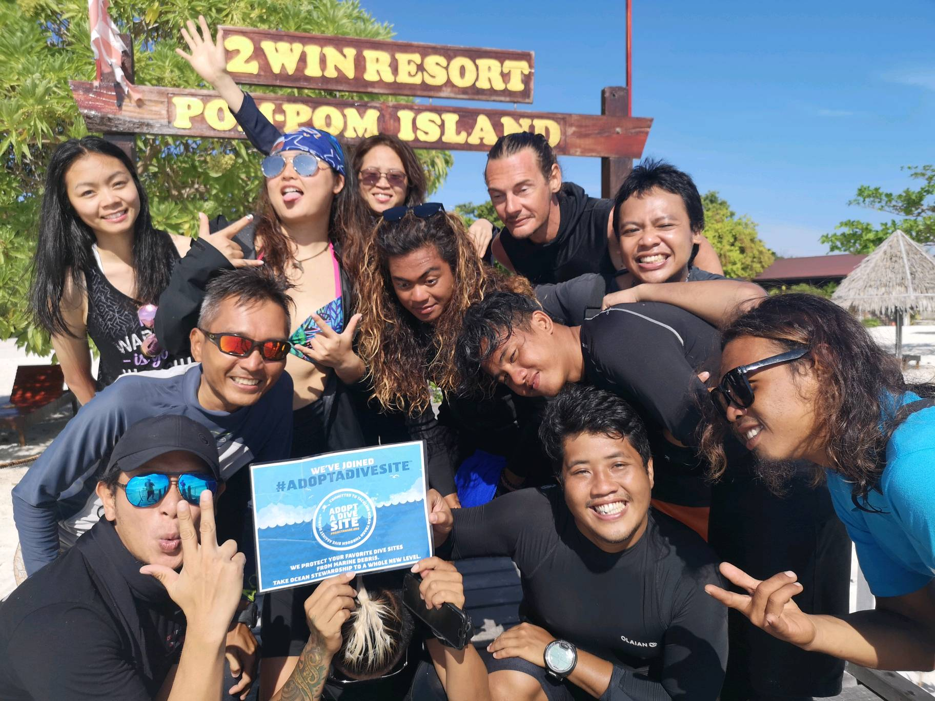
ADS524 - 2Win House Reef

0
0
0
0

4.594542, 118.86147

0
0
0
coral
0
3
0
0
0
Normal guests visit to island
Excellent
Sea Monster Conservative & Dive
Percy Looi
0
0
0
0
0
0
0
0
0
0
0
0
0
0
0
0
0
0
0
13
0
0
0
0
0
0
2
0
0
0
0
0
0
0
0
0
0.40
40
30.00
5.00
0
estimated
0
0
0
0
2503.59
0
0
0
0
0
Plastic bags
Bottles
0
On
kilograms
0
I have debris data to report
0
0
0
Calm (glassy to rippled) for waves 0 – 0.1 meter high
0
0
0
0
0
0
0
m2
0
0
meters
coral reef
0
0
0
0
0
0
0
0
0
0
0
0
0
0
0
0
0
0
0
0
0
0
0
0
0
0
0
0
0
0
Malaysia
State\Province
Sabah
City
Semporna
Map Help


Dive Location

If you know your survey site coordinates, enter them manually in decimal degrees using WGS84 Map Datum. Use the minus sign for latitudes south of the equator and longitudes west of the Prime Meridian to 180 degrees.

If you do not know your survey site coordinates, click the “Map Location” tab to use the map to zoom into your survey site and drop the pin on the map to fall within your survey dive site in the water (not on land or the beach). Ensure you zoom in as much as possible to ensure data accuracy.

Entangled Help


Use the vertical tabs below to record any entangled animals you found of each type.

Avalon Green Pier

6
6
2

33.343609593638, -118.32404451731

2
0
0
silt
0
0
0
0
0
Rain
American flag
Rain
0
0
2
2
2
1
2
1
5
0
0
0
0
0
0
0
Boat ladder
Bluetooth speaker
Belt
Pliers
Scissors
Hammer
Bungee cord
Milk crate
Sunglasses
Avalon 38th annual beach cleanup
Melinda
0
5
0
7
0
0
0
0
3
0
0
0
0
50
0
0
0
0
0
95
0
0
0
0
0
0
0
0
0
0
3
0
0
1
300.00
50
35.00
10.00
1
estimated
0
0
45903.20
0
0
1
3
0
Glass bottles
Aluminum bottles
0
On
pounds
0
I have debris data to report
45
0
0
Smooth (wavelets) for waves 0.1 - 0.5 meter high
0
0
1
Bottles
2
Released Unharmed
Octopus
0
5
0
0
ft2
0
1
feet
rocky reef
2
0
0
0
5
0
2
0
0
9
0
0
0
0
1
0
51
0
1
0
0
0
2
3
1
0
1
0
United States
State\Province
CA
City
Avalon
Map Help


Dive Location

If you know your survey site coordinates, enter them manually in decimal degrees using WGS84 Map Datum. Use the minus sign for latitudes south of the equator and longitudes west of the Prime Meridian to 180 degrees.

If you do not know your survey site coordinates, click the “Map Location” tab to use the map to zoom into your survey site and drop the pin on the map to fall within your survey dive site in the water (not on land or the beach). Ensure you zoom in as much as possible to ensure data accuracy.

Entangled Help


Use the vertical tabs below to record any entangled animals you found of each type.

Laem Falang

0
0
0
4

12.551104, 100.953057

0
0
0
sand
0
2
0
0
0
No
Aluminium sheet
Good
1
1
Vinyl signage
Alumium sheet
Mermaids Dive Center
Gordon
0
0
0
0
0
0
0
0
0
0
0
0
0
0
0
0
0
0
0
3
0
0
0
0
0
0
0
0
0
0
0
0
0
0
0
0
8.00
100
23.00
5.00
0
estimated
0
0
0
2
323.67
0
0
0
0
0
Fishing net
Fishing lures
Rope
0
On
kilograms
0
I have debris data to report
1
0
0
Smooth (wavelets) for waves 0.1 - 0.5 meter high
0
0
0
0
0
0
0
m2
4
0
meters
coral reef
0
0
0
0
0
0
0
0
0
0
0
0
0
0
0
0
0
0
0
0
0
0
0
0
0
0
0
0
0
Thailand
State\Province
Chonburi
City
Sattahip
Map Help


Dive Location

If you know your survey site coordinates, enter them manually in decimal degrees using WGS84 Map Datum. Use the minus sign for latitudes south of the equator and longitudes west of the Prime Meridian to 180 degrees.

If you do not know your survey site coordinates, click the “Map Location” tab to use the map to zoom into your survey site and drop the pin on the map to fall within your survey dive site in the water (not on land or the beach). Ensure you zoom in as much as possible to ensure data accuracy.

Entangled Help


Use the vertical tabs below to record any entangled animals you found of each type.

ADS482 - Long Beach

2
6
1
0

7.617043, 99.028423

0
0
0
sand
0
2
1
2
0
No
Sunglasses
Hot & dry
1
Sunglasses
Go Pro In Paradise & Lanta Diver
Richard Reardon
0
0
0
0
0
0
0
0
0
0
0
0
0
0
0
0
0
0
0
2
0
0
0
0
1
0
0
0
0
0
0
0
0
0
0
0
2.00
32
4.00
3.00
3
estimated
0
0
0
0
30.00
0
0
0
1
0
Plastic fragments
Plastic bags
0
On
kilograms
0
I have debris data to report
3
0
0
Calm (glassy to rippled) for waves 0 – 0.1 meter high
0
0
0
0
1
0
0
m2
1
2
meters
coral reef
0
0
0
0
0
0
0
0
0
0
0
0
0
0
0
0
0
0
0
0
0
0
0
0
0
0
0
0
0
Thailand
State\Province
Koh Lanta
City
Phra Ae
Map Help


Dive Location

If you know your survey site coordinates, enter them manually in decimal degrees using WGS84 Map Datum. Use the minus sign for latitudes south of the equator and longitudes west of the Prime Meridian to 180 degrees.

If you do not know your survey site coordinates, click the “Map Location” tab to use the map to zoom into your survey site and drop the pin on the map to fall within your survey dive site in the water (not on land or the beach). Ensure you zoom in as much as possible to ensure data accuracy.

Entangled Help


Use the vertical tabs below to record any entangled animals you found of each type.

ADS352 - Meno Slope

11
0
0
0

-8.35026, 116.0511

0
0
0
coral
0
1
0
1
0
Windy
1
2
Shampoo wrapper
Detergent wrapper
Gili Shark Conservation
Andre
0
0
0
0
0
0
0
0
0
0
0
0
0
0
1
0
0
0
0
3
0
0
0
0
3
0
5
0
0
0
0
0
0
0
0
0
0.50
47
25.00
13.00
0
estimated
0
0
0
0
6840.00
0
0
0
0
0
0
On
kilograms
0
I have debris data to report
0
0
0
Calm (glassy to rippled) for waves 0 – 0.1 meter high
8
0
0
0
0
0
0
m2
0
0
meters
coral reef
0
0
0
0
0
0
0
0
0
0
0
0
0
0
0
0
0
0
0
0
1
0
0
0
0
0
0
0
0
Indonesia
State\Province
West Nusa Tenggara
City
Gili Air
Map Help


Dive Location

If you know your survey site coordinates, enter them manually in decimal degrees using WGS84 Map Datum. Use the minus sign for latitudes south of the equator and longitudes west of the Prime Meridian to 180 degrees.

If you do not know your survey site coordinates, click the “Map Location” tab to use the map to zoom into your survey site and drop the pin on the map to fall within your survey dive site in the water (not on land or the beach). Ensure you zoom in as much as possible to ensure data accuracy.

Entangled Help


Use the vertical tabs below to record any entangled animals you found of each type.

Subscribe to