Menu

Carlisle Bay

0
9
0
0

13.080484127767, -59.610631164774

0
0
0
sand
0
0
0
0
0
No
None
Scattered showers
Barbados blue
Nicole Hill
0
0
0
1
0
0
0
0
0
0
0
0
0
0
0
0
0
0
0
3
0
0
0
0
0
0
0
0
0
0
0
0
0
0
0
0
4.00
50
50.00
15.00
0
estimated
0
0
4046.97
0
0
0
1
0
Plastic cup fragments
0
On
pounds
0
I have debris data to report
0
0
0
Calm (glassy to rippled) for waves 0 – 0.1 meter high
1
0
0
0
0
0
0
m2
0
0
feet
coral reef
2
0
0
0
0
0
0
0
0
0
0
0
0
0
0
0
0
0
0
0
0
0
1
0
0
0
0
0
0
Barbados
State\Province
Bridgetown
City
Bridgetown
Map Help


Dive Location

If you know your survey site coordinates, enter them manually in decimal degrees using WGS84 Map Datum. Use the minus sign for latitudes south of the equator and longitudes west of the Prime Meridian to 180 degrees.

If you do not know your survey site coordinates, click the “Map Location” tab to use the map to zoom into your survey site and drop the pin on the map to fall within your survey dive site in the water (not on land or the beach). Ensure you zoom in as much as possible to ensure data accuracy.

Entangled Help


Use the vertical tabs below to record any entangled animals you found of each type.

Zürichsee Grosser Parkplatz

47.291405578909, 8.6006845018556

silt

47.291405578909, 8.6006845018556

sunny and warm
1
Fireworks debris
TSK Zürich
Martin
3
0.30
30
10.00
1.00
estimated
500.00
On
kilograms
I have debris data to report
Calm (glassy to rippled) for waves 0 – 0.1 meter high
1
m2
meters
other
Switzerland
City
Zürich
Map Help


Dive Location

If you know your survey site coordinates, enter them manually in decimal degrees using WGS84 Map Datum. Use the minus sign for latitudes south of the equator and longitudes west of the Prime Meridian to 180 degrees.

If you do not know your survey site coordinates, click the “Map Location” tab to use the map to zoom into your survey site and drop the pin on the map to fall within your survey dive site in the water (not on land or the beach). Ensure you zoom in as much as possible to ensure data accuracy.
Entangled Help


Use the vertical tabs below to record any entangled animals you found of each type.

Ecosystem Other
freshwater lake

Sandy Spit

seagrass

18.450158734483, -64.709041618697

Americas Oldest Lager Beer
Mostly sunny with occasional showers
ActionQuest
Chase Smith
2
0.03
31
35.00
17.00
estimated
900.00
On
kilograms
I have debris data to report
Smooth (wavelets) for waves 0.1 - 0.5 meter high ft2
feet
seagrass
2
British Virgin Islands
Map Help


Dive Location

If you know your survey site coordinates, enter them manually in decimal degrees using WGS84 Map Datum. Use the minus sign for latitudes south of the equator and longitudes west of the Prime Meridian to 180 degrees.

If you do not know your survey site coordinates, click the “Map Location” tab to use the map to zoom into your survey site and drop the pin on the map to fall within your survey dive site in the water (not on land or the beach). Ensure you zoom in as much as possible to ensure data accuracy.
Entangled Help


Use the vertical tabs below to record any entangled animals you found of each type.

Cat Lake

0
5
0
0

49.798456799684, -123.10889230526

0
0
0
silt
1
1
5
0
0
No
Sunny
1
1
16
2
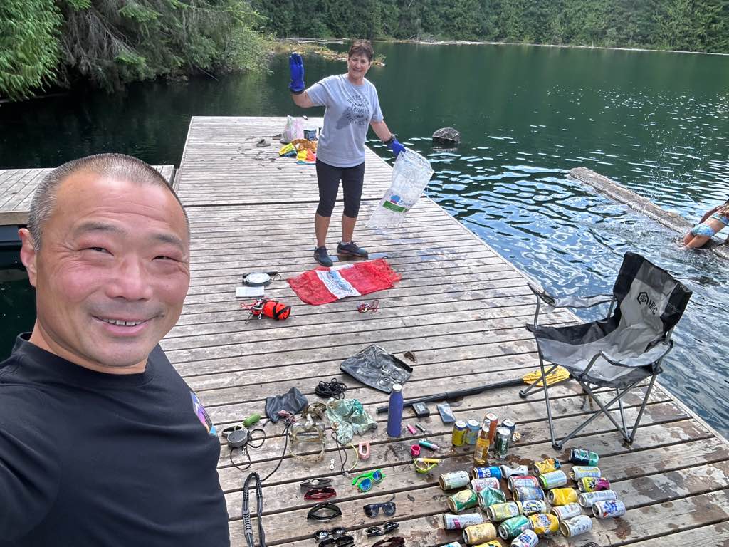
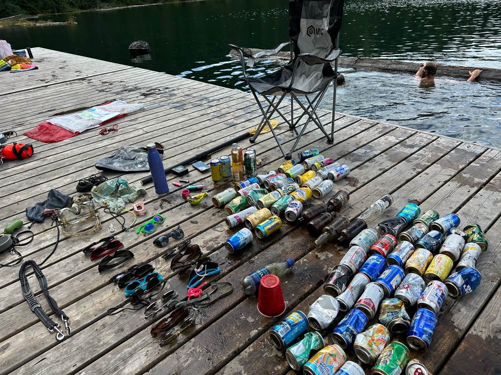
Lawn chair
Paddle
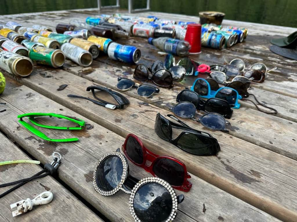
Sunglasses
Dog leash
Divers for Cleaner Lakes and Oceans
Henry
0
0
0
1
0
0
0
0
1
0
0
0
0
0
0
0
0
0
0
2
0
0
0
0
0
0
1
0
0
0
0
0
1
0
0
0
39.50
46
103.00
15.00
1
measured
0
0
8752.83
0
0
0
0
0
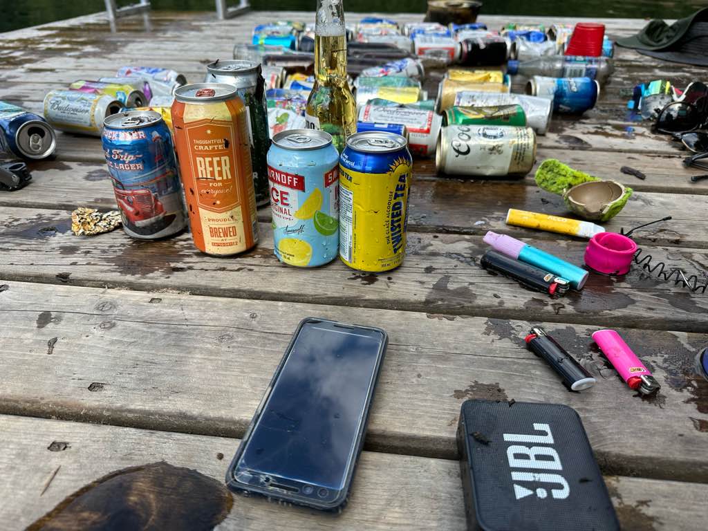
Beer cans
0
On
pounds
0
I have debris data to report
7
0
0
Calm (glassy to rippled) for waves 0 – 0.1 meter high
0
0
0
0
0
0
0
ft2
0
0
feet
other
4
0
0
0
0
0
0
0
0
2
2
0
0
1
1
0
0
66
0
0
0
0
0
0
0
0
0
0
0
Canada
State\Province
British Columbia
City
Squamish
Map Help


Dive Location

If you know your survey site coordinates, enter them manually in decimal degrees using WGS84 Map Datum. Use the minus sign for latitudes south of the equator and longitudes west of the Prime Meridian to 180 degrees.

If you do not know your survey site coordinates, click the “Map Location” tab to use the map to zoom into your survey site and drop the pin on the map to fall within your survey dive site in the water (not on land or the beach). Ensure you zoom in as much as possible to ensure data accuracy.
Entangled Help


Use the vertical tabs below to record any entangled animals you found of each type.

Ecosystem Other
Silt

False Creek

0
0
0
0

49.272483431874, -123.10441765926

0
0
0
silt
0
0
0
0
0
No
Sunny
Divers for Cleaner Lakes and Oceans
Henry Wang
0
0
0
0
0
0
0
0
0
0
0
0
0
0
0
0
0
0
0
1
0
0
0
0
0
0
0
0
0
0
0
0
0
0
0
0
0.50
1
20.00
20.00
0
measured
0
0
2.00
0
0
0
0
0
0
On
pounds
0
I have debris data to report
0
0
0
Calm (glassy to rippled) for waves 0 – 0.1 meter high
0
0
0
0
0
0
0
ft2
0
0
feet
other
0
0
0
0
0
0
0
0
0
0
1
0
0
0
0
0
0
0
0
0
0
0
0
0
0
0
0
0
0
Canada
State\Province
British Columbia
City
Vancouver
Map Help


Dive Location

If you know your survey site coordinates, enter them manually in decimal degrees using WGS84 Map Datum. Use the minus sign for latitudes south of the equator and longitudes west of the Prime Meridian to 180 degrees.

If you do not know your survey site coordinates, click the “Map Location” tab to use the map to zoom into your survey site and drop the pin on the map to fall within your survey dive site in the water (not on land or the beach). Ensure you zoom in as much as possible to ensure data accuracy.
Entangled Help


Use the vertical tabs below to record any entangled animals you found of each type.

Ecosystem Other
silt

Sasamat Lake

0
0
0
0

49.316788236412, -122.88766411558

0
0
0
silt
0
0
0
0
0
No
Sunny
Divers for Cleaner Lakes and Oceans
Henry Wang
0
0
0
0
0
0
0
0
0
0
0
0
0
0
0
0
0
0
0
1
0
0
0
0
0
0
0
0
0
0
0
0
0
0
0
0
0.50
24
45.00
45.00
0
measured
0
0
552.64
0
0
0
0
0
0
On
pounds
0
I have debris data to report
0
0
0
Calm (glassy to rippled) for waves 0 – 0.1 meter high
0
0
0
0
0
0
0
ft2
0
0
feet
other
0
0
0
0
0
0
0
0
0
0
1
0
0
0
0
0
0
0
0
0
0
0
0
0
0
0
0
0
0
Canada
State\Province
British Columbia
City
Port Moody
Map Help


Dive Location

If you know your survey site coordinates, enter them manually in decimal degrees using WGS84 Map Datum. Use the minus sign for latitudes south of the equator and longitudes west of the Prime Meridian to 180 degrees.

If you do not know your survey site coordinates, click the “Map Location” tab to use the map to zoom into your survey site and drop the pin on the map to fall within your survey dive site in the water (not on land or the beach). Ensure you zoom in as much as possible to ensure data accuracy.

Entangled Help


Use the vertical tabs below to record any entangled animals you found of each type.

Ecosystem Other
Silt lake bottom

Sasamat Lake

0
0
0
0

49.31674289141, -122.88770150967

0
0
0
silt
0
0
0
0
0
No
Sunny
Divers for Cleaner Lakes and Oceans
Henry Wang
0
0
0
0
0
0
0
0
0
0
0
0
0
0
0
0
0
0
0
1
0
0
0
0
0
0
0
0
0
0
0
0
0
0
0
0
3.50
16
46.00
46.00
0
measured
0
0
633.04
0
0
0
0
0
0
On
pounds
0
I have debris data to report
0
0
0
Calm (glassy to rippled) for waves 0 – 0.1 meter high
0
0
0
0
0
0
0
ft2
0
0
feet
other
0
0
0
0
0
0
0
0
0
0
7
0
0
0
0
0
0
0
0
0
0
0
0
0
0
0
0
0
0
Canada
State\Province
British Columbia
City
Port Moody
Map Help


Dive Location

If you know your survey site coordinates, enter them manually in decimal degrees using WGS84 Map Datum. Use the minus sign for latitudes south of the equator and longitudes west of the Prime Meridian to 180 degrees.

If you do not know your survey site coordinates, click the “Map Location” tab to use the map to zoom into your survey site and drop the pin on the map to fall within your survey dive site in the water (not on land or the beach). Ensure you zoom in as much as possible to ensure data accuracy.

Entangled Help


Use the vertical tabs below to record any entangled animals you found of each type.

Ecosystem Other
Silt lake bottom

Allison Lake

0
0
3
0

49.696173934957, -120.60434601629

0
0
0
silt
0
1
0
0
0
No
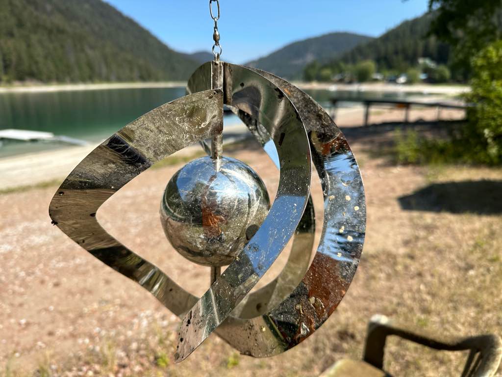
Wind chime
Sunny
1
1
1
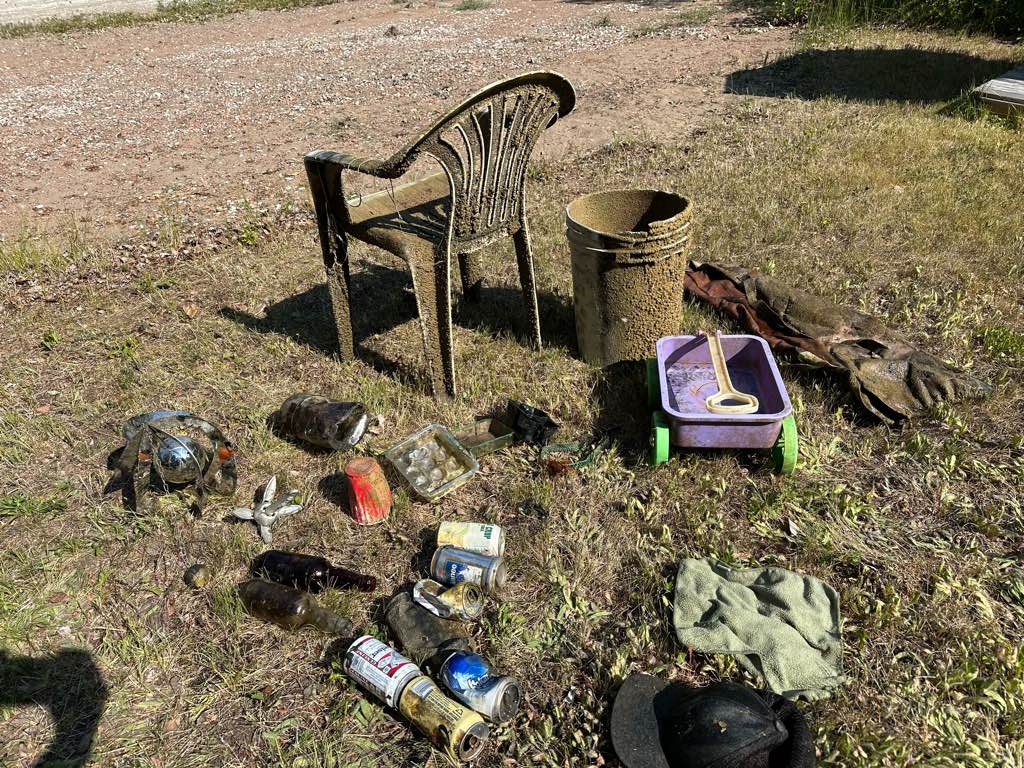
Anchor
Metal wind chime
Lawn chair
Divers for Cleaner Lakes and Oceans
Henry Wang
0
0
1
0
0
0
0
0
0
0
0
0
0
1
0
0
0
0
0
1
0
0
1
0
0
0
0
0
0
1
0
0
0
0
0
0
29.50
57
112.00
5.00
0
measured
0
0
74060.20
0
0
0
0
0
0
On
pounds
0
I have debris data to report
2
0
0
Calm (glassy to rippled) for waves 0 – 0.1 meter high
0
0
0
0
0
0
0
ft2
0
1
feet
other
0
0
0
0
0
0
0
0
0
1
0
0
0
0
0
0
0
7
0
0
0
0
0
0
0
0
0
0
0
Canada
State\Province
British Columbia
City
Princeton
Map Help


Dive Location

If you know your survey site coordinates, enter them manually in decimal degrees using WGS84 Map Datum. Use the minus sign for latitudes south of the equator and longitudes west of the Prime Meridian to 180 degrees.

If you do not know your survey site coordinates, click the “Map Location” tab to use the map to zoom into your survey site and drop the pin on the map to fall within your survey dive site in the water (not on land or the beach). Ensure you zoom in as much as possible to ensure data accuracy.

Entangled Help


Use the vertical tabs below to record any entangled animals you found of each type.

Ecosystem Other
Silt

Allison Lake

0
1
0
0

49.695594693167, -120.60411407544

0
0
0
silt
0
0
0
0
0
No
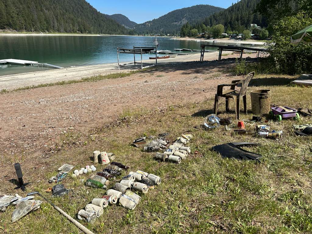
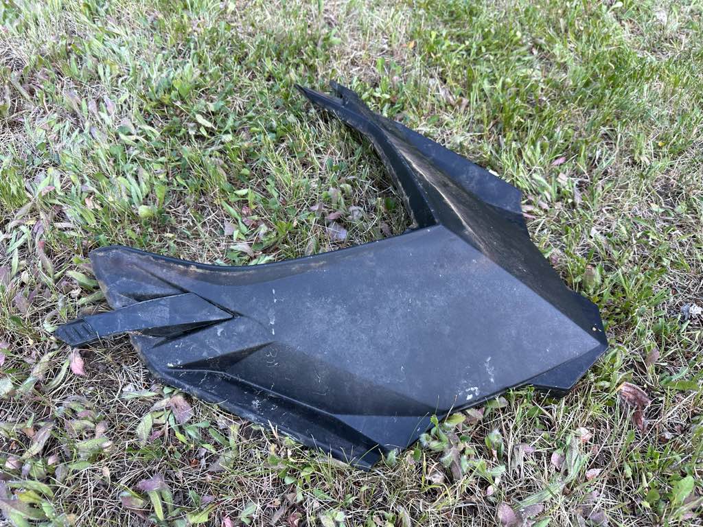
Snowmobile hood
Sunny
1
Sunglasses
Divers for Cleaner Lakes and Oceans
Henry Wang
0
0
0
0
0
0
0
0
0
0
0
0
0
0
0
0
0
0
0
1
0
0
0
0
0
0
0
0
0
1
0
0
0
0
0
0
10.00
25
54.00
5.00
0
measured
0
0
23635.30
0
0
0
0
0
Beer cans
0
On
pounds
0
I have debris data to report
5
0
0
Calm (glassy to rippled) for waves 0 – 0.1 meter high
0
0
0
0
0
0
0
ft2
0
0
feet
other
0
0
0
0
0
0
0
0
0
2
0
0
0
0
0
0
0
14
0
0
0
0
0
0
0
0
0
0
0
Canada
State\Province
British Columbia
City
Princeton
Map Help


Dive Location

If you know your survey site coordinates, enter them manually in decimal degrees using WGS84 Map Datum. Use the minus sign for latitudes south of the equator and longitudes west of the Prime Meridian to 180 degrees.

If you do not know your survey site coordinates, click the “Map Location” tab to use the map to zoom into your survey site and drop the pin on the map to fall within your survey dive site in the water (not on land or the beach). Ensure you zoom in as much as possible to ensure data accuracy.
Entangled Help


Use the vertical tabs below to record any entangled animals you found of each type.

Ecosystem Other
Silt

Aow Leuk

sand
5

10.062146986732, 99.823816809385

Jennifer Dowling
3
2
1.66
56
8.50
6.10
measured
199.00
On
kilograms
I have debris data to report
Smooth (wavelets) for waves 0.1 - 0.5 meter high m2
9
meters
coral reef
Thailand
Map Help


Dive Location

If you know your survey site coordinates, enter them manually in decimal degrees using WGS84 Map Datum. Use the minus sign for latitudes south of the equator and longitudes west of the Prime Meridian to 180 degrees.

If you do not know your survey site coordinates, click the “Map Location” tab to use the map to zoom into your survey site and drop the pin on the map to fall within your survey dive site in the water (not on land or the beach). Ensure you zoom in as much as possible to ensure data accuracy.
Entangled Help


Use the vertical tabs below to record any entangled animals you found of each type.

Subscribe to