Peggy's Cove, Nova Scotia
44.493389600105, -63.91582757893
0
44.493435519375, -63.916299647717
Overcast, cloudy
Sean McMullen
1
11
2
2
0
0
0
0
50.00
120
12.00
2.00
estimated
1573.12
1
1
On
pounds
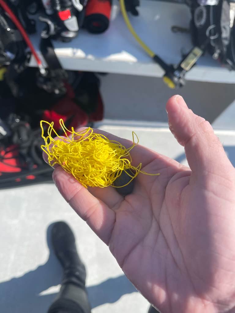
I have debris data to report
55
Calm (glassy to rippled) for waves 0 – 0.1 meter high
ft2
feet
rocky reef
1
1
1
5
3
1
State\Province
Nova Scotia
City
Peggy's Cove
Map Help
Dive Location
If you know your survey site coordinates, enter them manually in decimal degrees using WGS84 Map Datum. Use the minus sign for latitudes south of the equator and longitudes west of the Prime Meridian to 180 degrees.
If you do not know your survey site coordinates, click the “Map Location” tab to use the map to zoom into your survey site and drop the pin on the map to fall within your survey dive site in the water (not on land or the beach). Ensure you zoom in as much as possible to ensure data accuracy.
Entangled Help