ADS454 - Black Rock
1
11
20.922628683971, -156.70070270832
15
rock
15
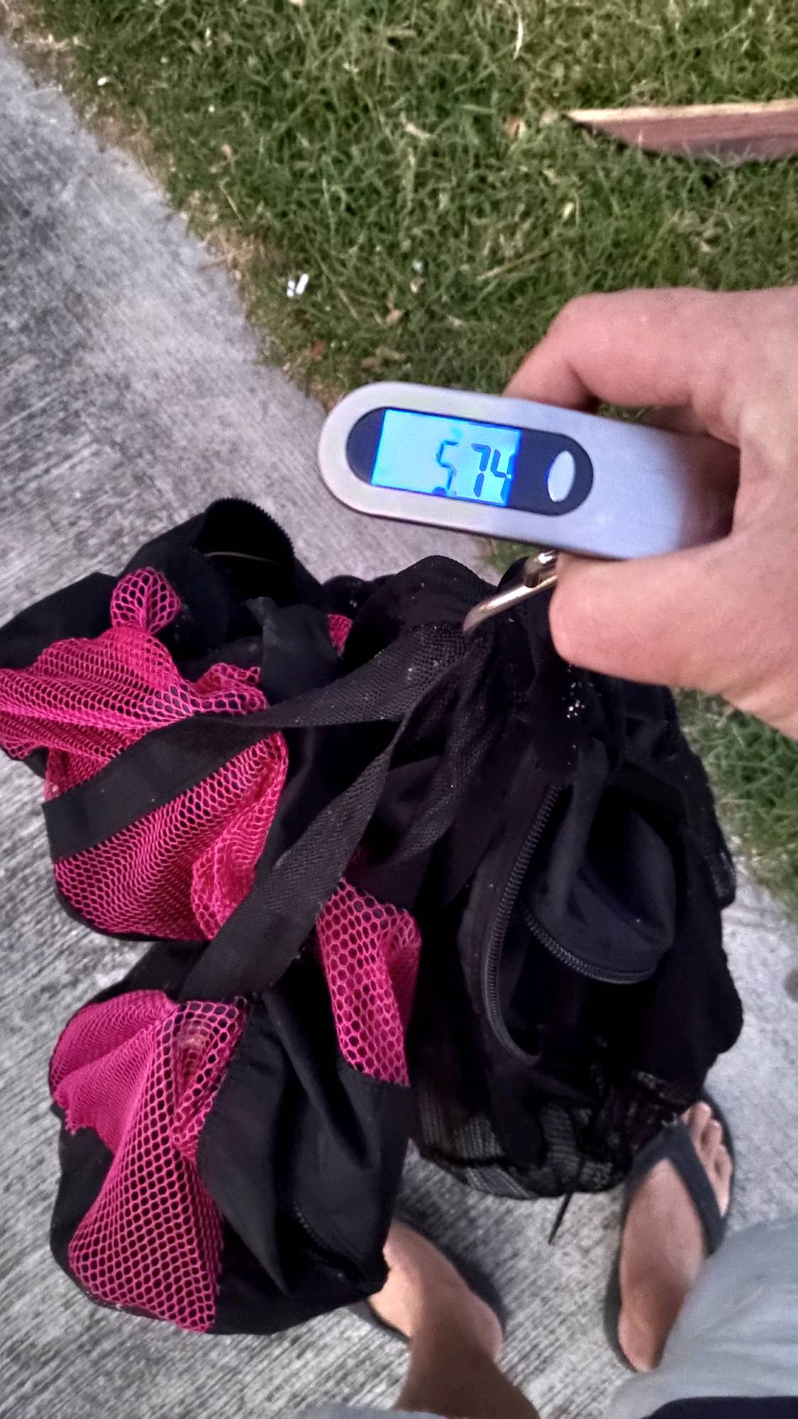
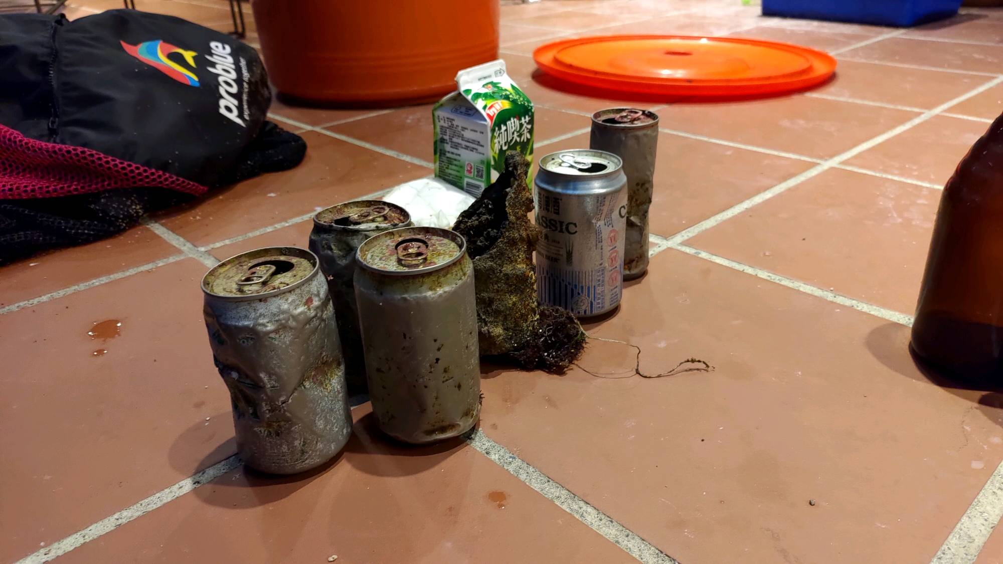
there were some scuba/snorkel incidents this week that could have contributed to the amount of scuba gear collected
partly cloudy
7
1
1
hair ties
face mask
sunglasses
Extended Horizons Scuba Maui
Hannah Elliott
1
5
1
10
1.50
60
25.00
5.00
1
measured
7
7486.51
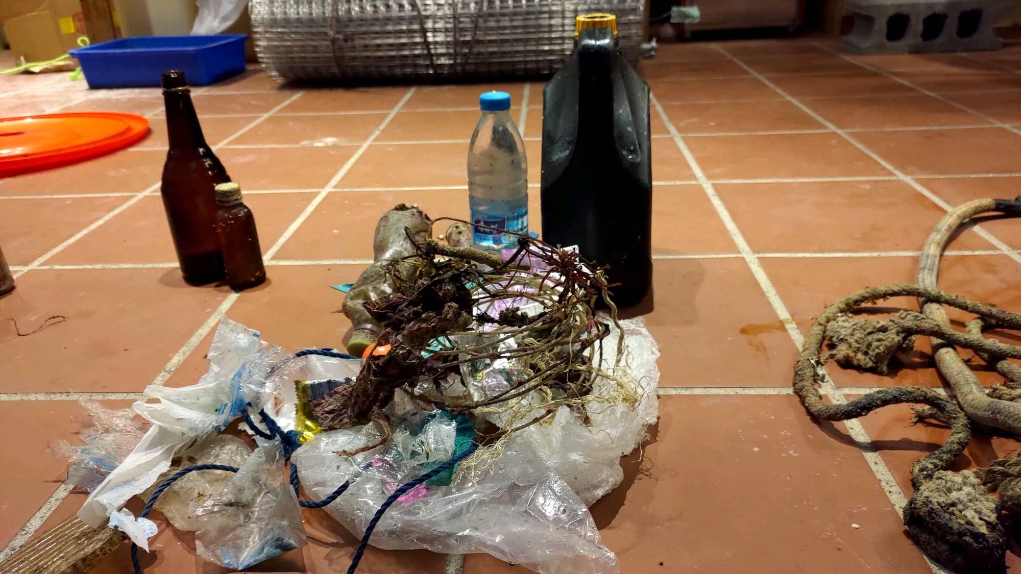
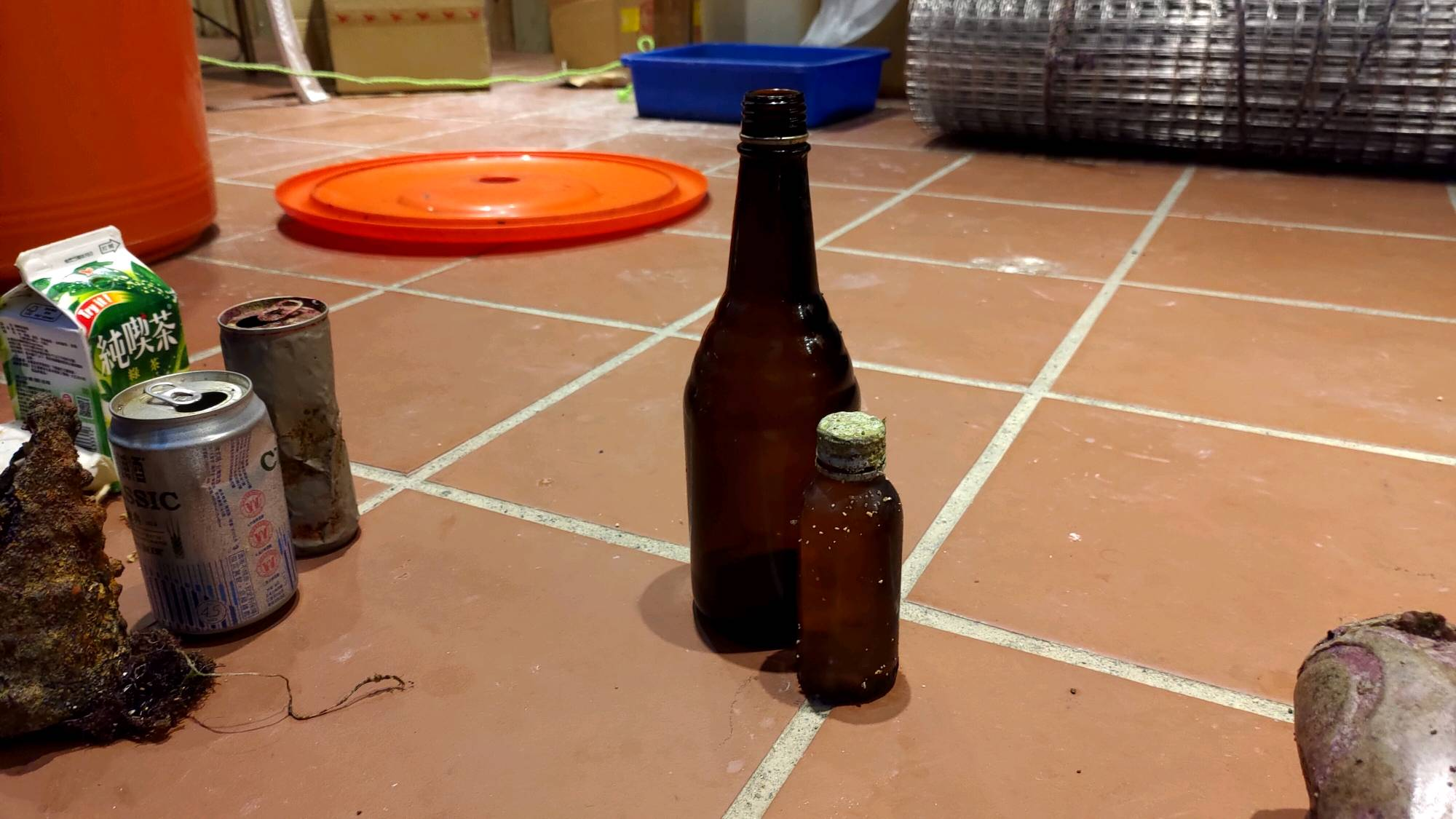
fishing line
rags
fishing weight
On
pounds
I have debris data to report
Moderate to rough for waves greater than 1.25 meters
ft2
1
2
feet
rocky reef
State\Province
Hawaii
City
Lahaina
Map Help
Dive Location
If you know your survey site coordinates, enter them manually in decimal degrees using WGS84 Map Datum. Use the minus sign for latitudes south of the equator and longitudes west of the Prime Meridian to 180 degrees.
If you do not know your survey site coordinates, click the “Map Location” tab to use the map to zoom into your survey site and drop the pin on the map to fall within your survey dive site in the water (not on land or the beach). Ensure you zoom in as much as possible to ensure data accuracy.
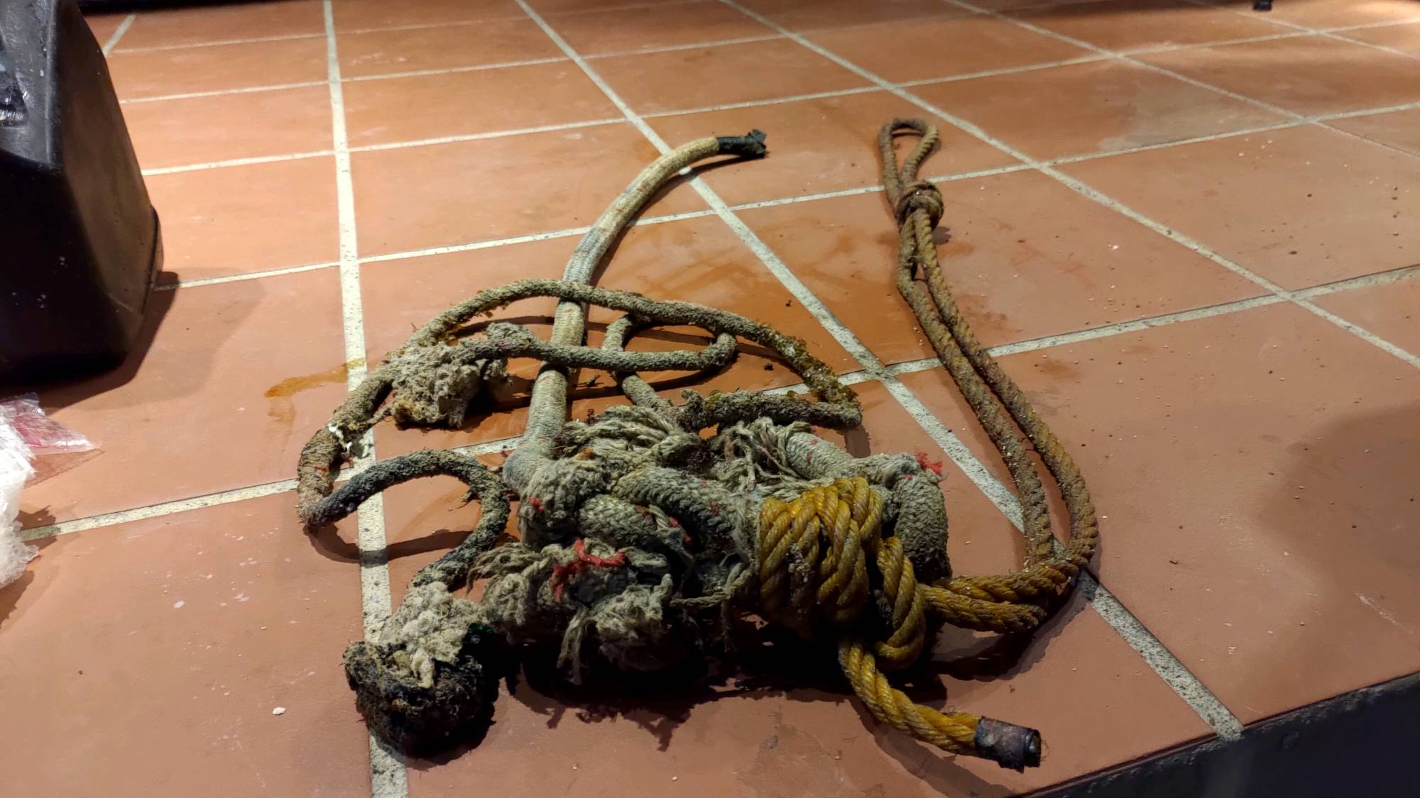
Entangled Help