The Barge
24.86925, -80.572
Fishing
calm
1
anchor, chain and line
Key Dives/FKNMS
Kurt Tidd
1
122.00
30
110.00
100.00
estimated
50.00
anchor and line
On
pounds
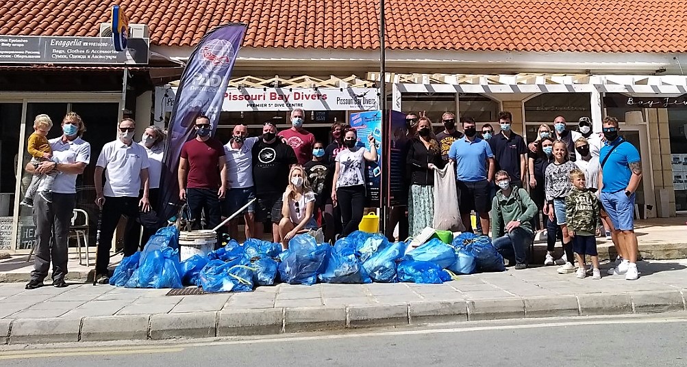
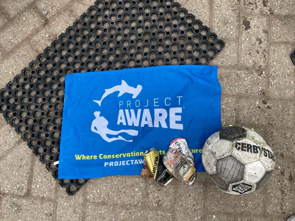
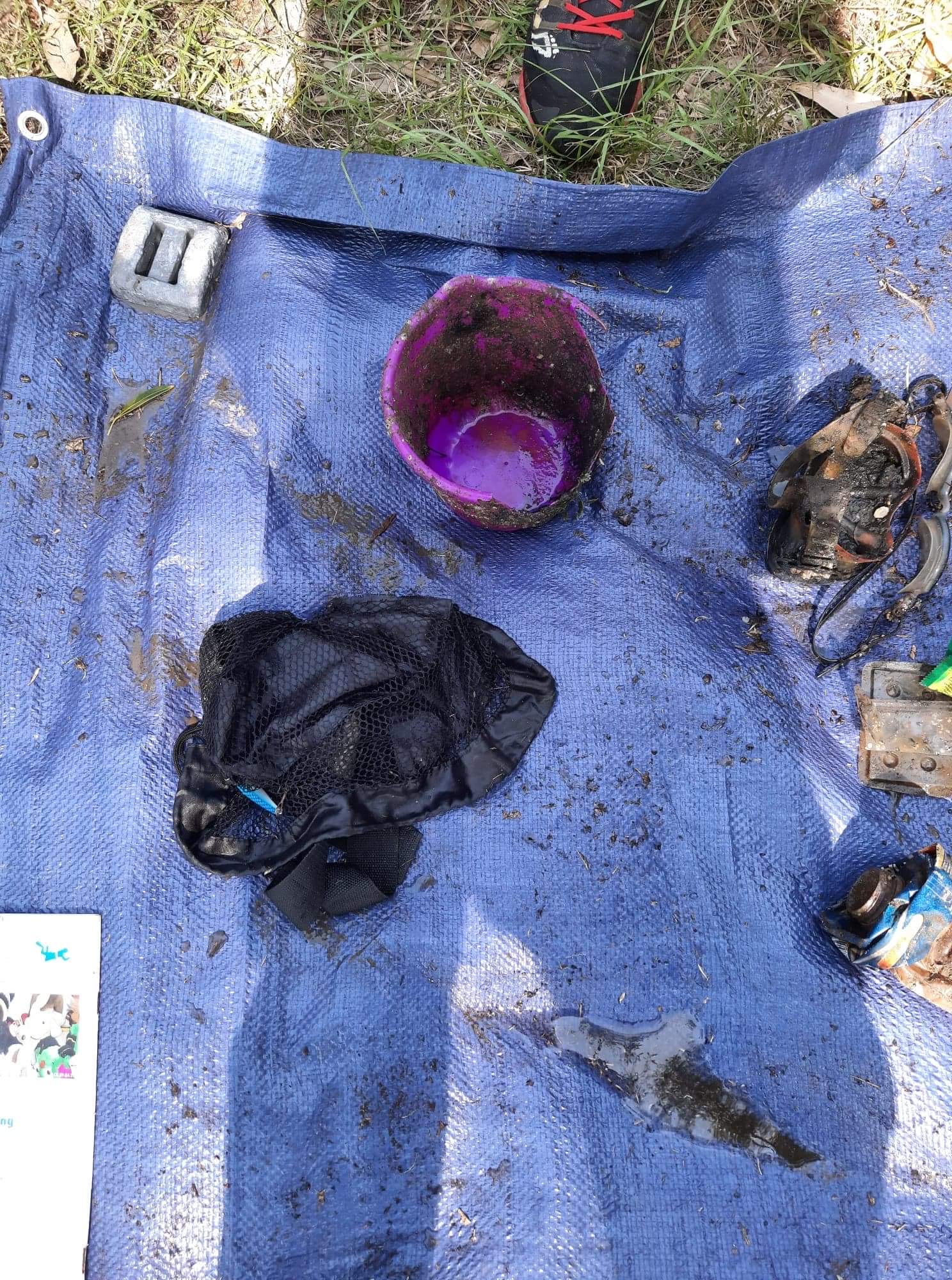
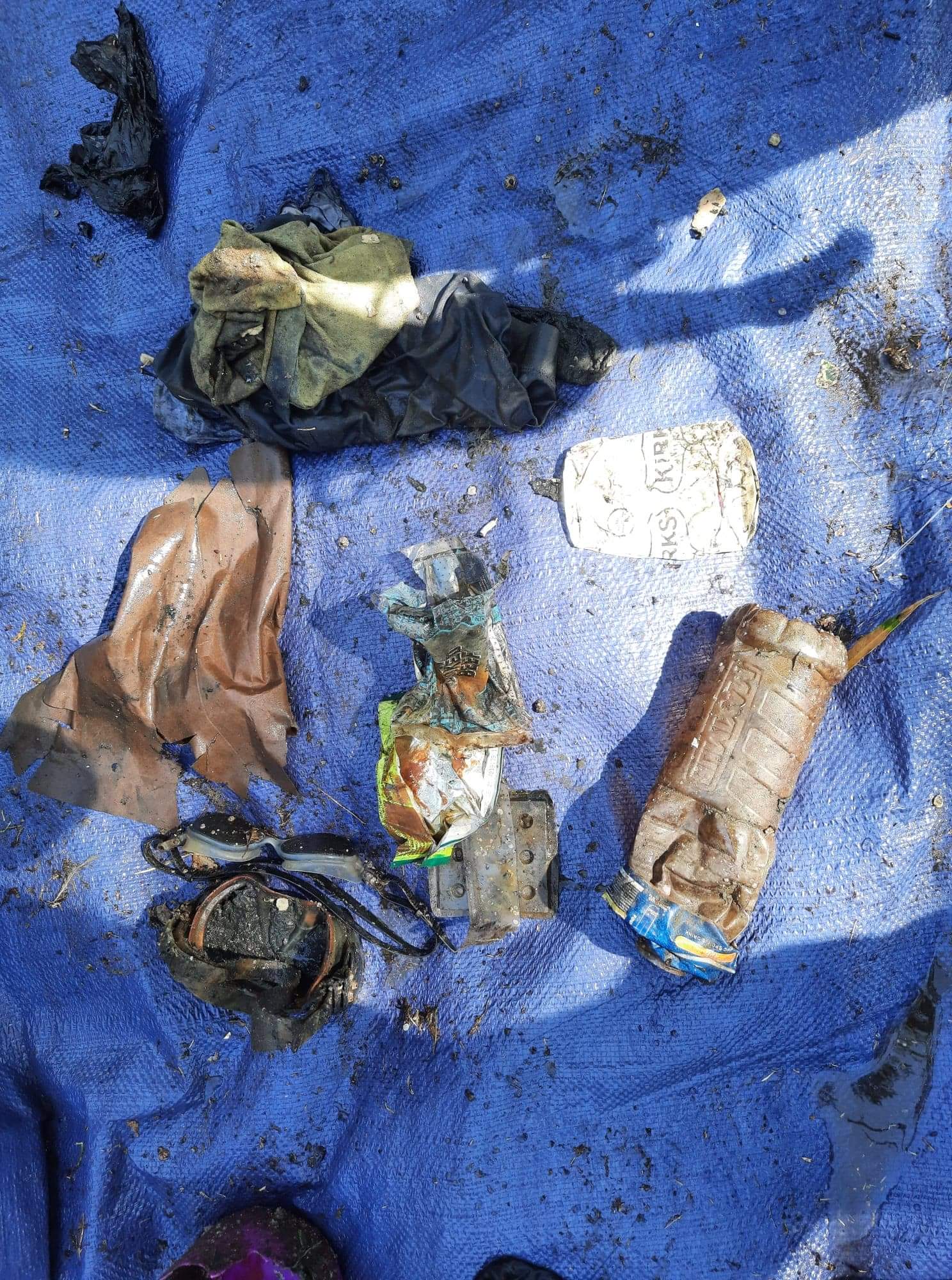
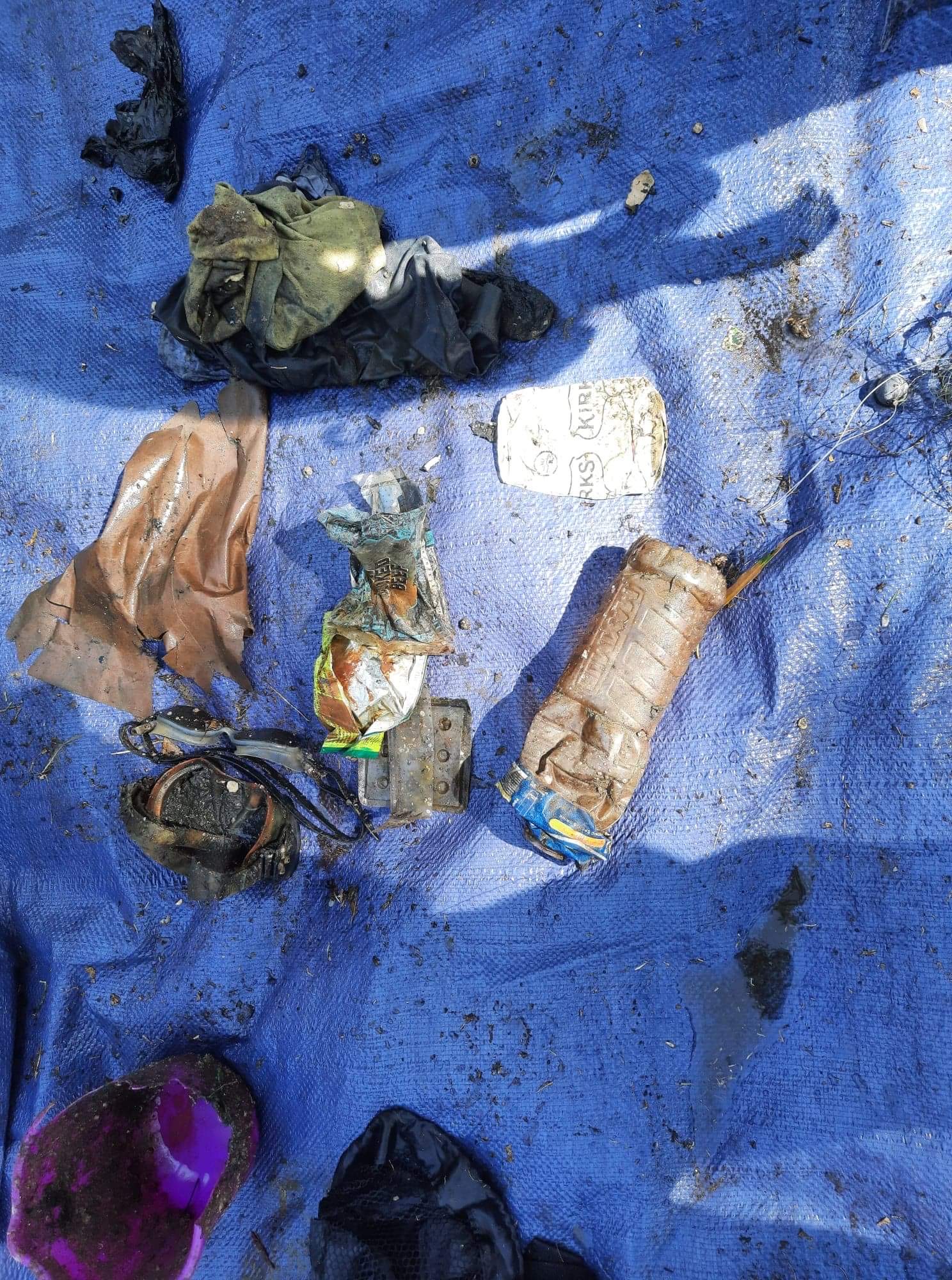
I have debris data to report
Slight for waves 0.5 -1.25 meter high
m2
feet
other
State\Province
FL
City
Islamorada
Map Help
Dive Location
If you know your survey site coordinates, enter them manually in decimal degrees using WGS84 Map Datum. Use the minus sign for latitudes south of the equator and longitudes west of the Prime Meridian to 180 degrees.
If you do not know your survey site coordinates, click the “Map Location” tab to use the map to zoom into your survey site and drop the pin on the map to fall within your survey dive site in the water (not on land or the beach). Ensure you zoom in as much as possible to ensure data accuracy.
Entangled Help
Use the vertical tabs below to record any entangled animals you found of each type.
Ecosystem Other
wreck over sand