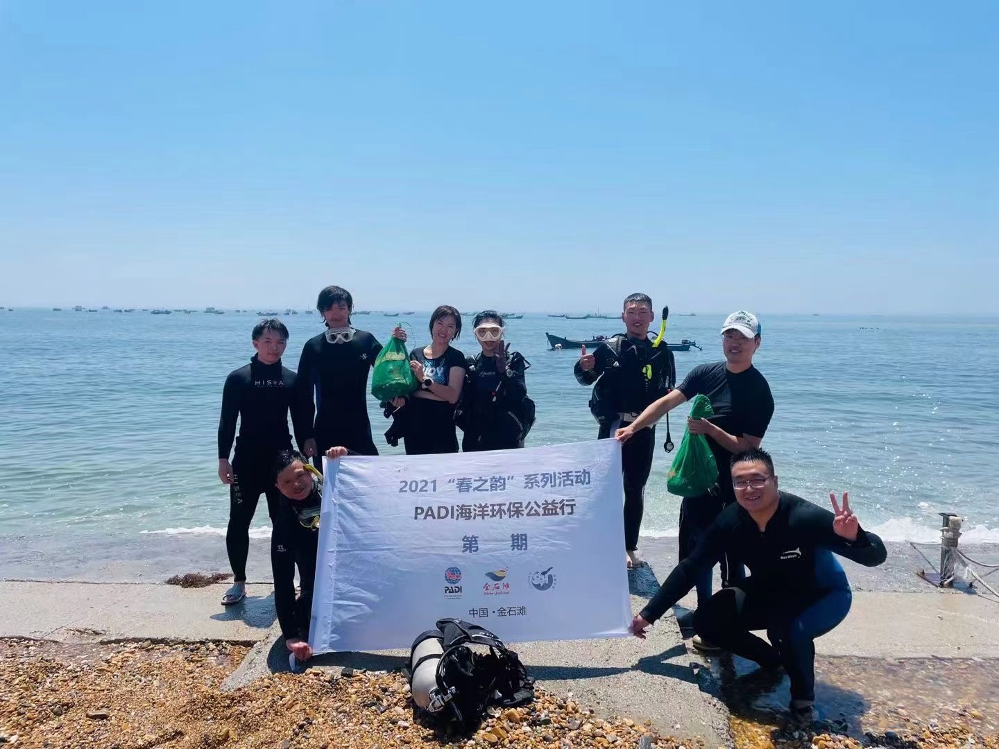
Jinshitan Beach
39.07824, 122.01202
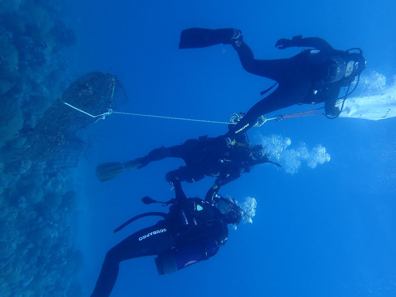
We start DAD 8 Jun 2021, but that day was rian and cloudy, the water visibilty its very bad . visiti is zreo!!
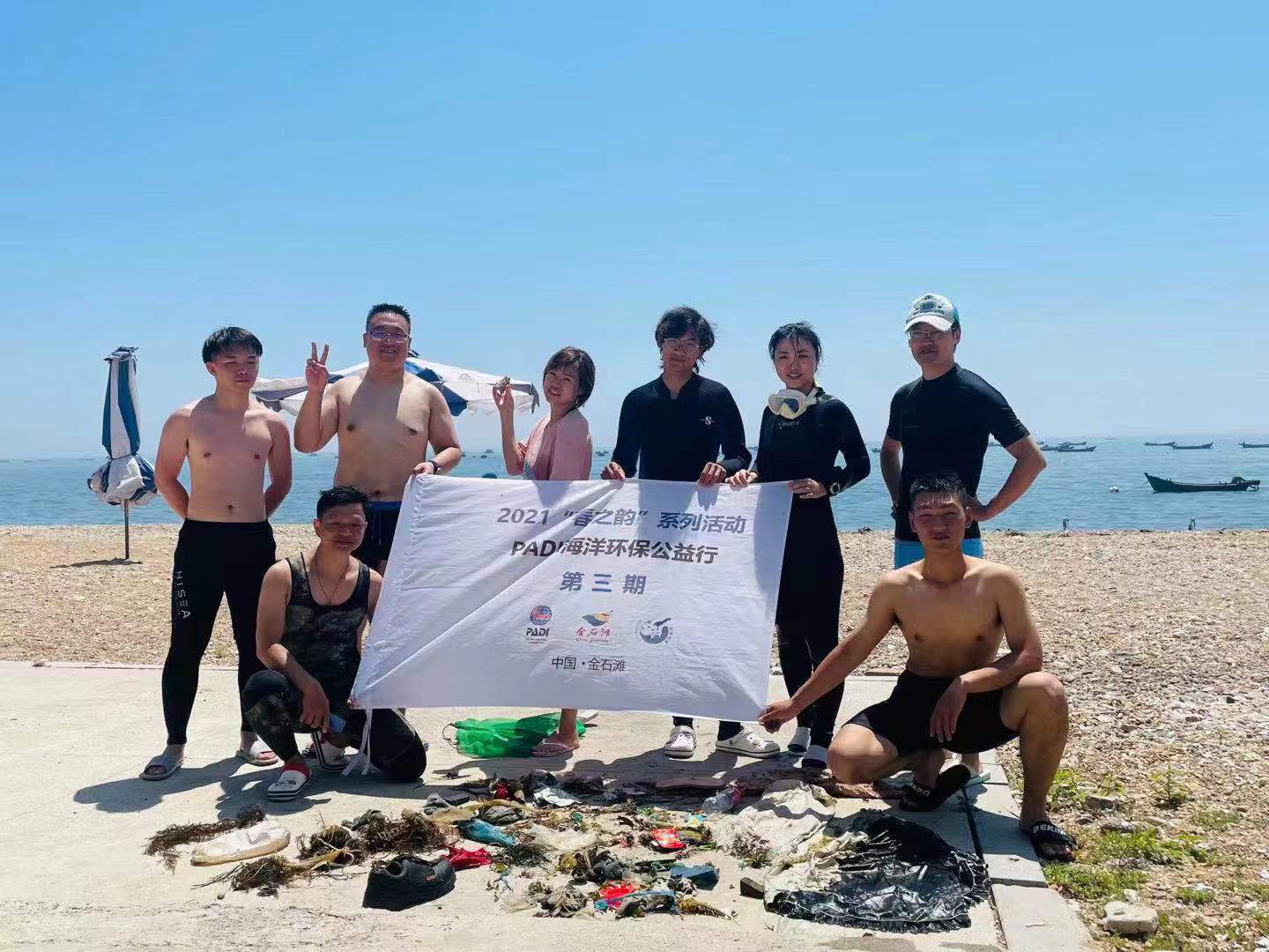
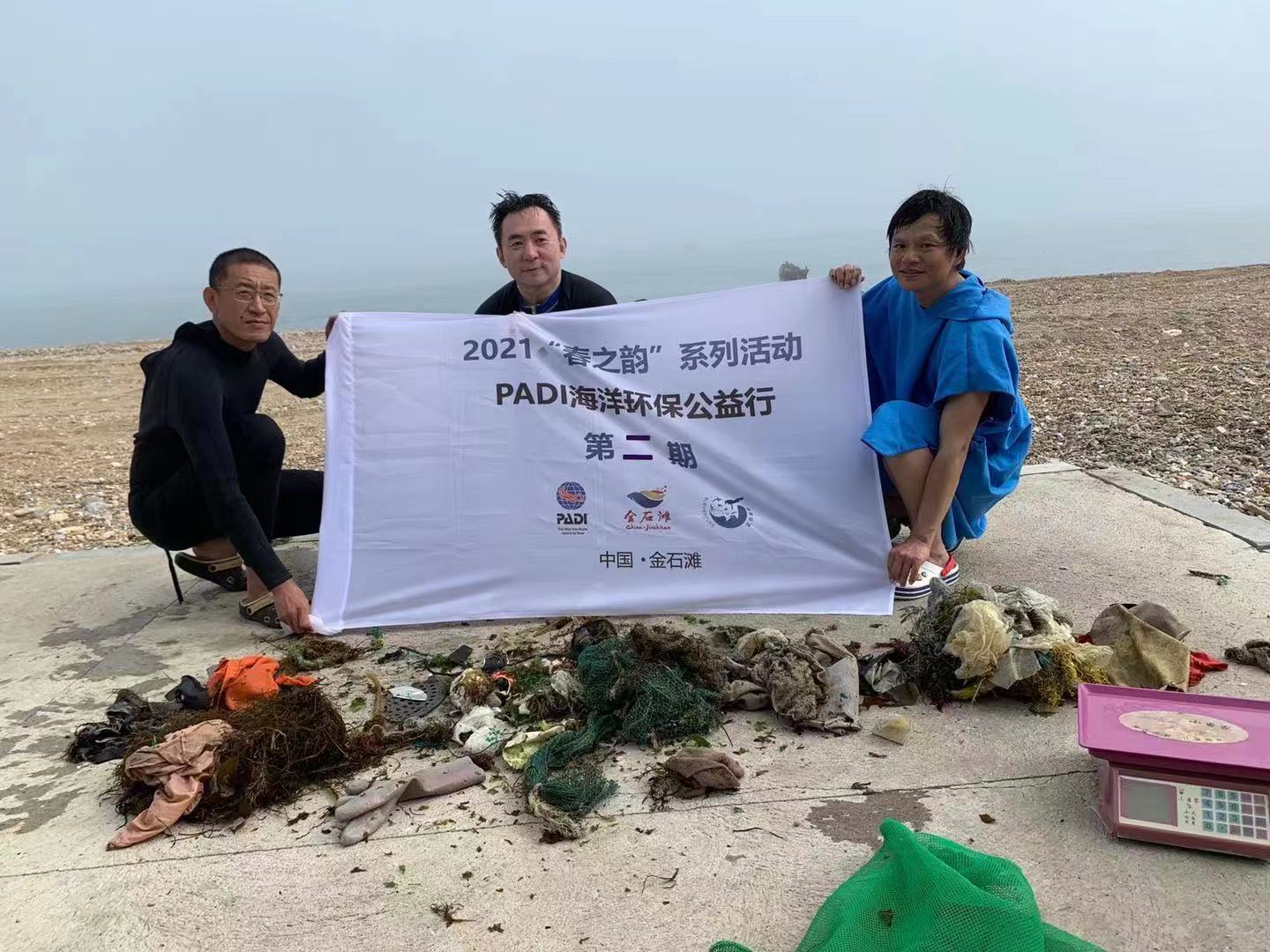
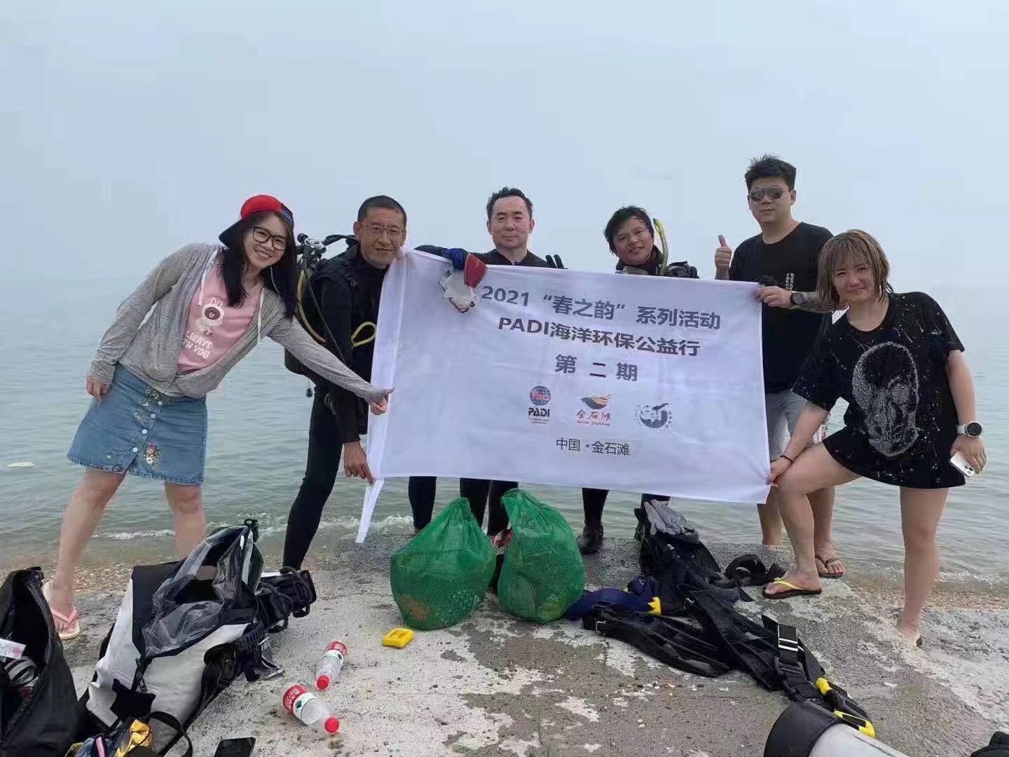
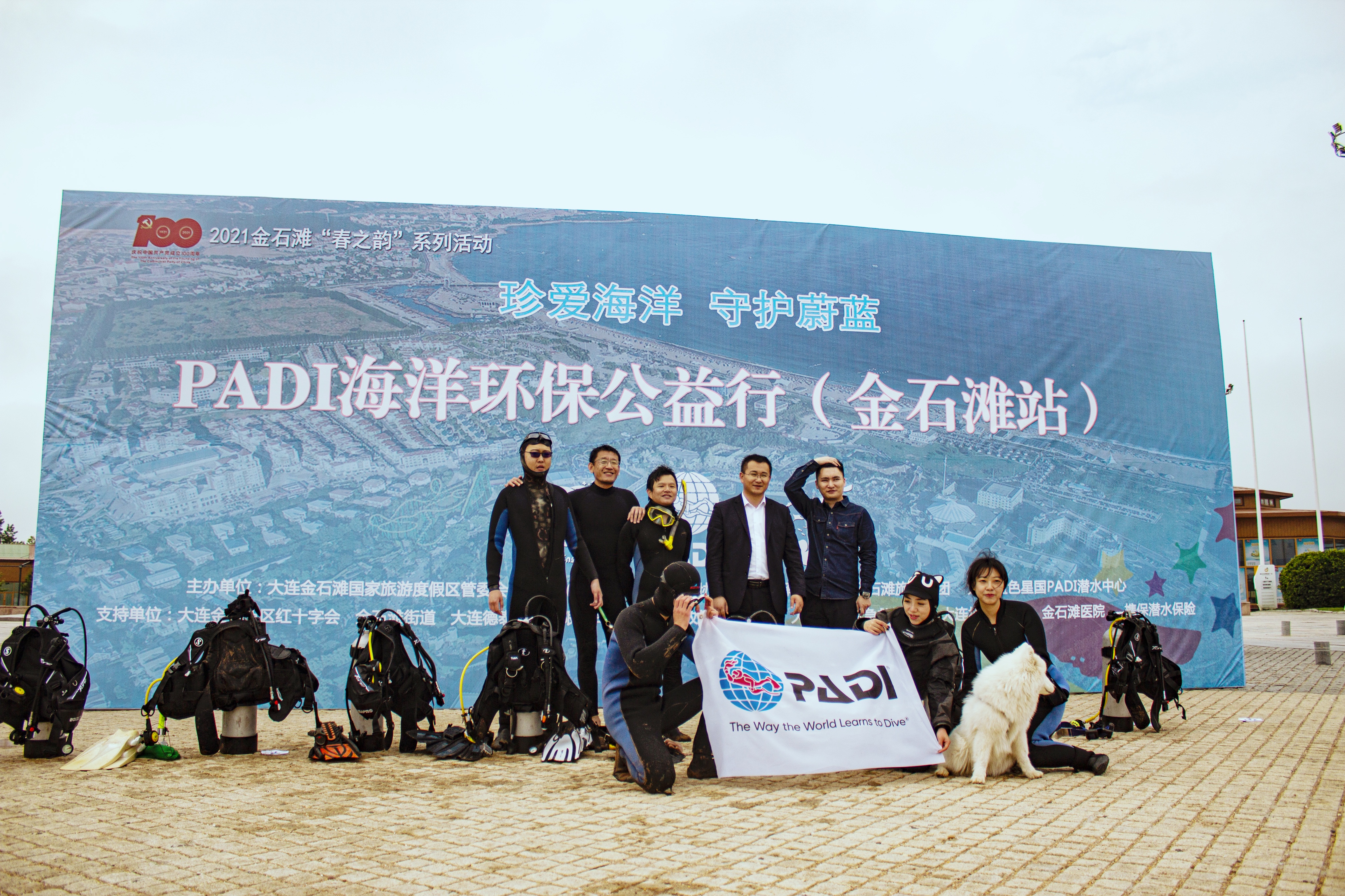
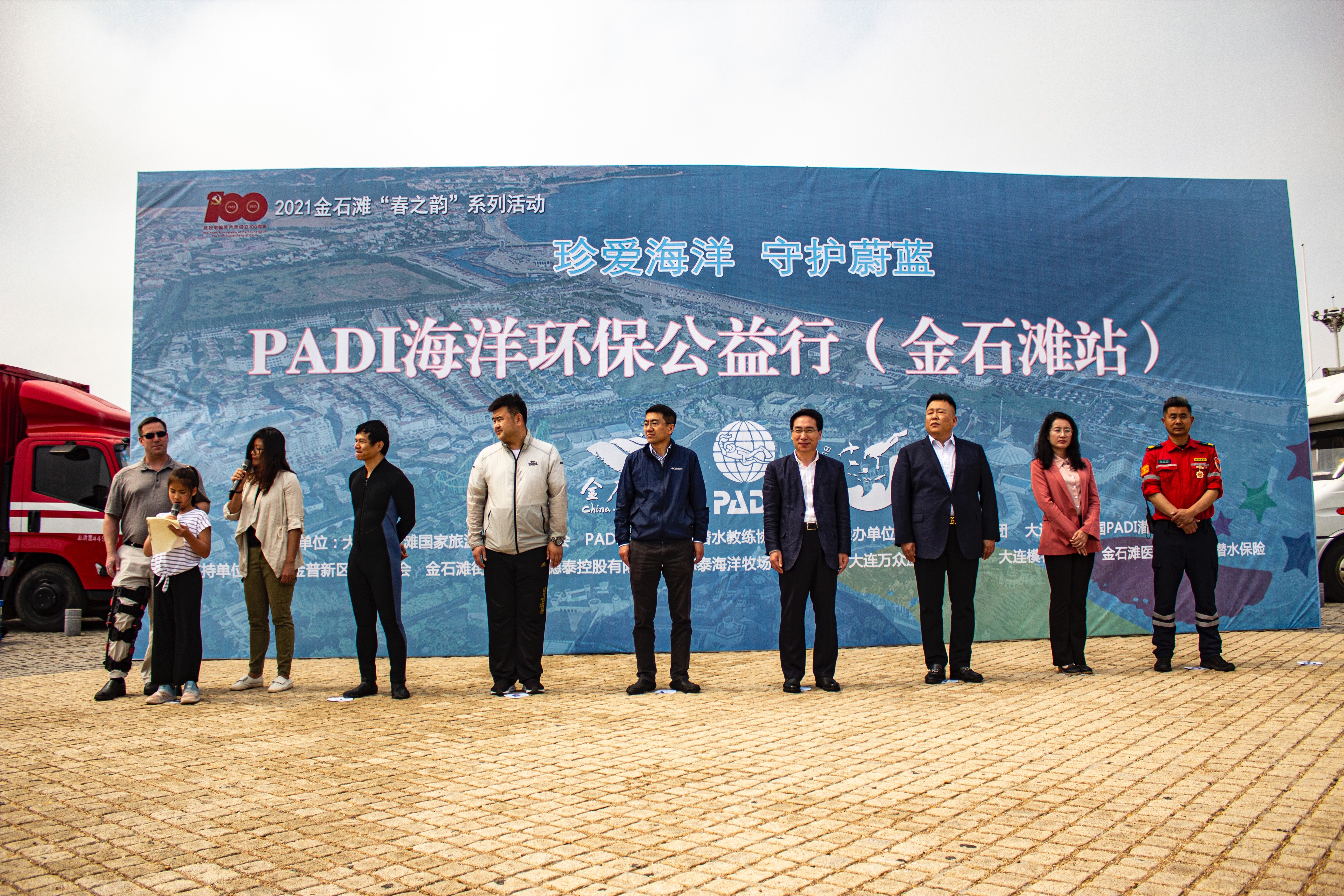
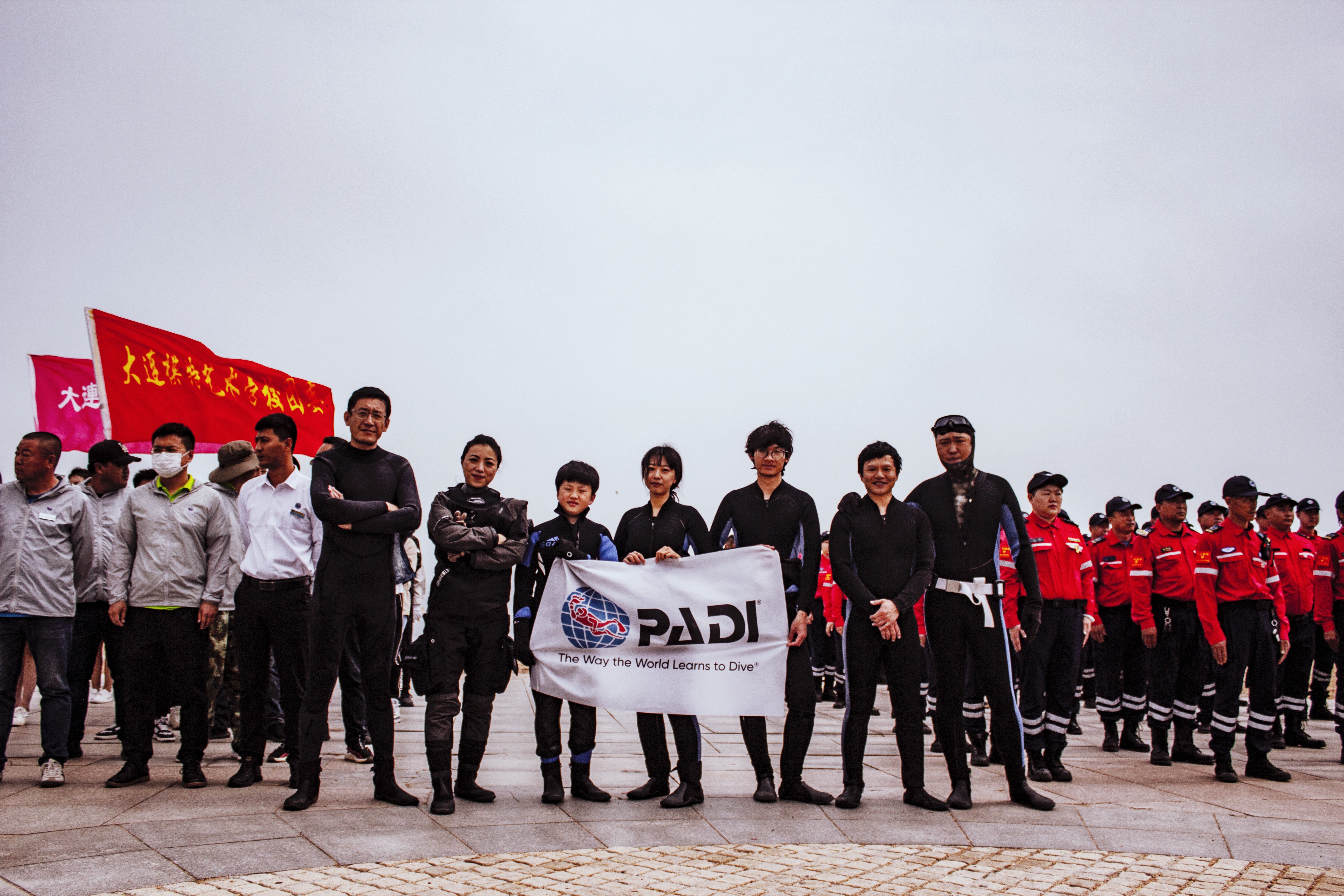
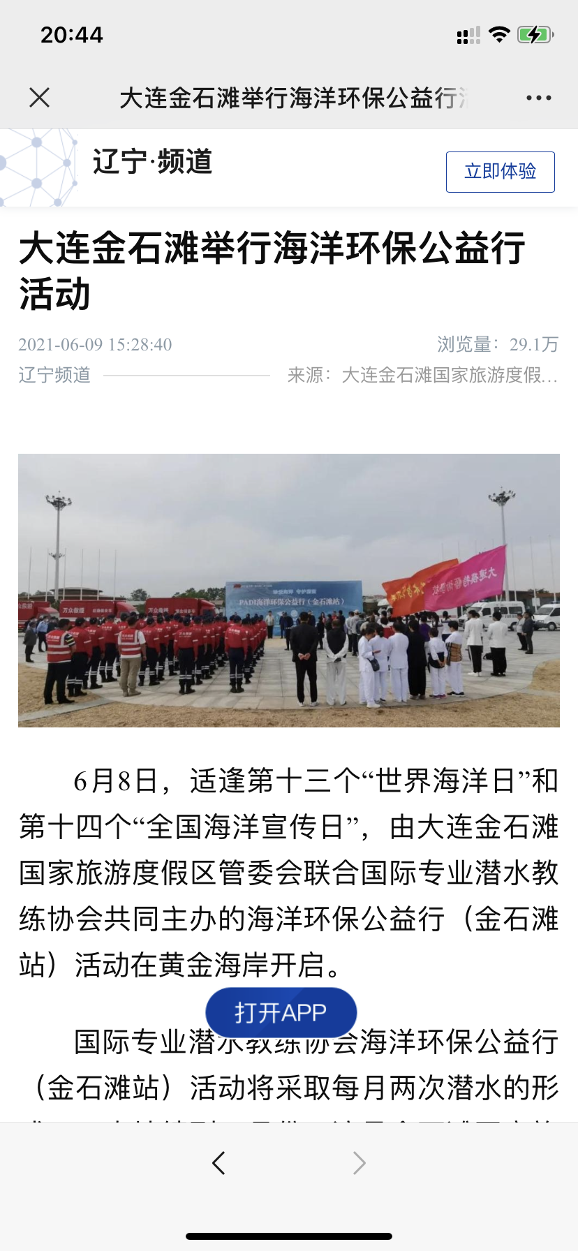
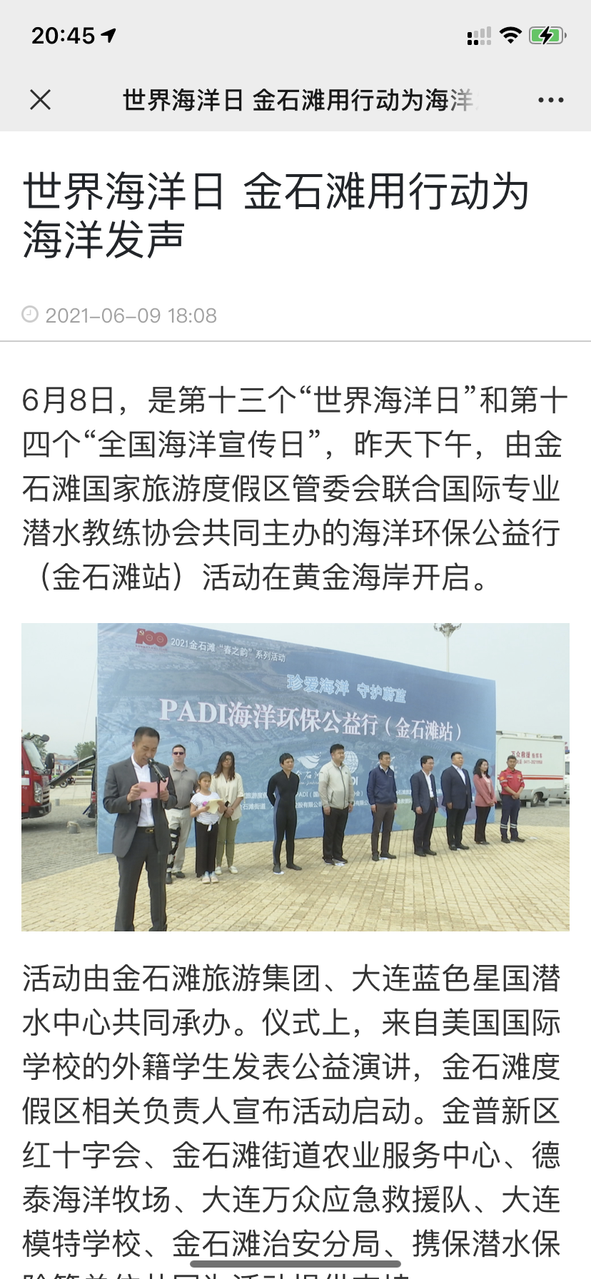
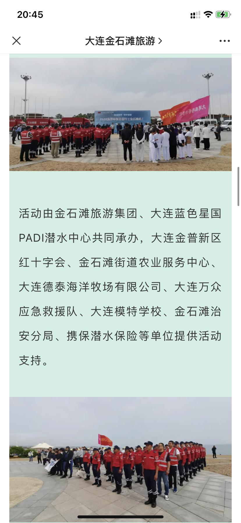
On The International Oceans Day on June 6, we held a grand opening ceremony for DAD. The local government chief chairman made a speech and was attended by more than 300 people, which was reported by the Chinese official media, such as Xinhua News Agency. Liaoning Evening News. Dalian News. Jinpu News, etc
https://mp.weixin.qq.com/s?__biz=MjM5NjU2MDI0Mg==&mid=2650923146&idx=1&sn=1a3dde649e73909e300d4a3b16501676&chksm=bd122c978a65a58170cf38dc2906537252a744ee29409d887a85871977eb618a84f67d4e3bd9&mpshare=1&scene=1&srcid=0608fuLYfOQyHsrblquCI2HO&sharer_sharetime=1627130656168&sharer_shareid=ac7d28c9ce86d90e69959383c4d9b2a8&exportkey=AVLkblc4v7kwgNIF6C2IBIk%3D&pass_ticket=suf7hG8ulIJ2R9W6ZAUcRcRSMU7NP2CpEhnSl8hsjVwTYZUrmCqO2eQXTma%2Fx5q9&wx_header=0#rd
https://xhpfmapi.zhongguowangshi.com/vh512/share/10047833?channel=weixin
https://web.jpntv.cn/waparticles/a23ac8125d0e470aa5144ee62981eb84/qbqoe1e9Yw9G4daf/1
Big rian
cloudy
cloudy
Bloventure
Anguo Liu
5
0.00
40
5.00
2.00
measured
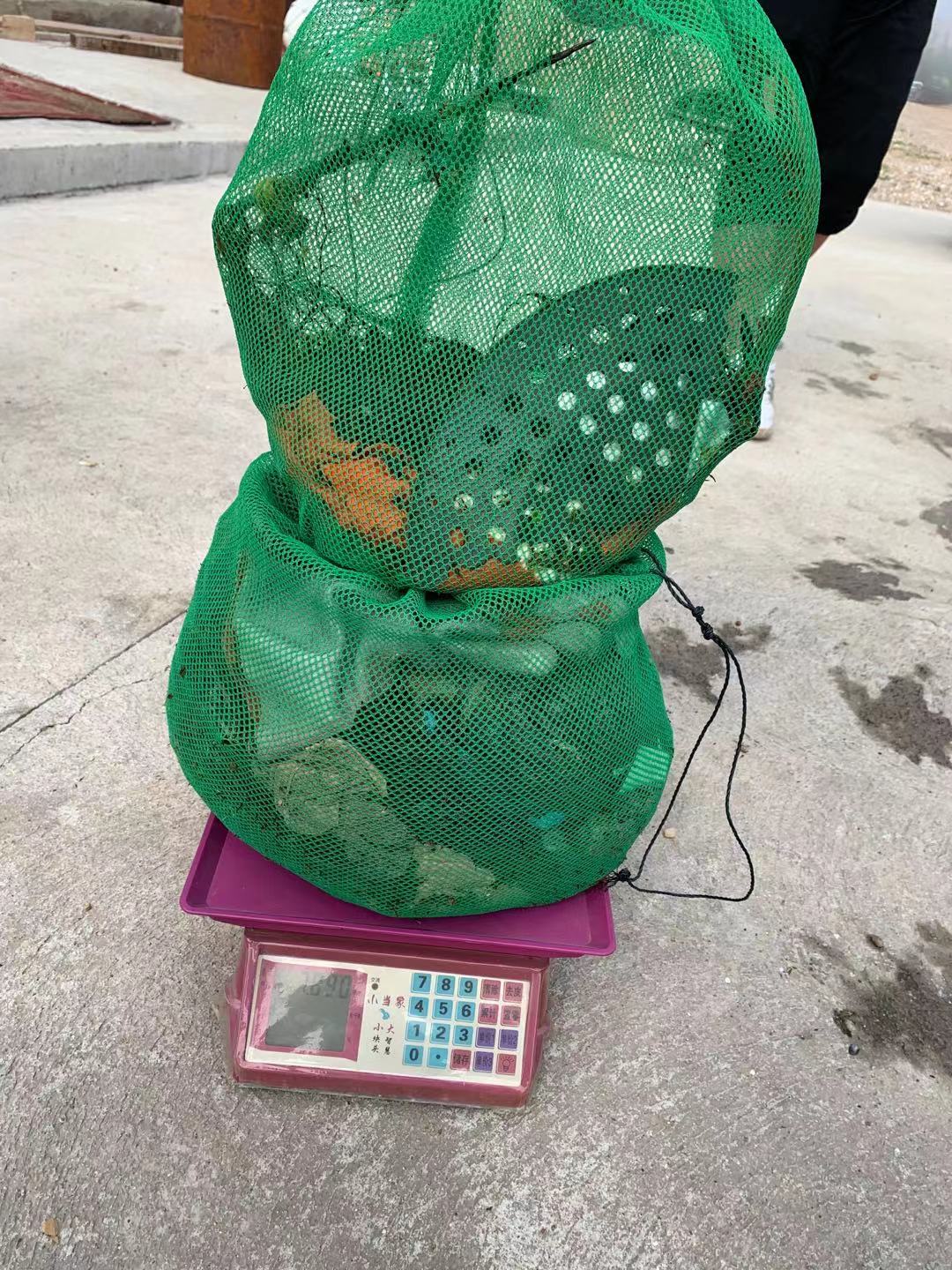
100.00
On
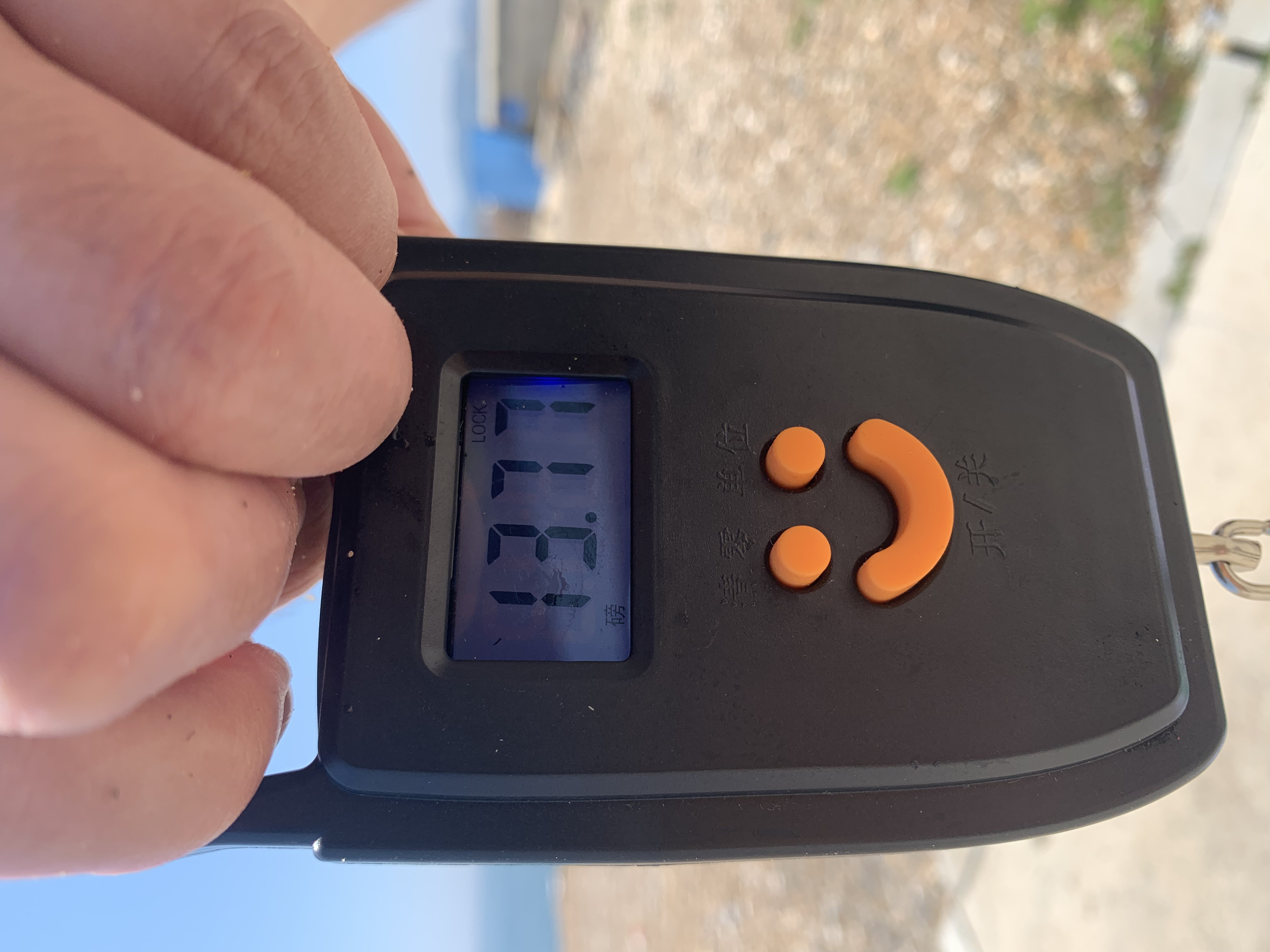
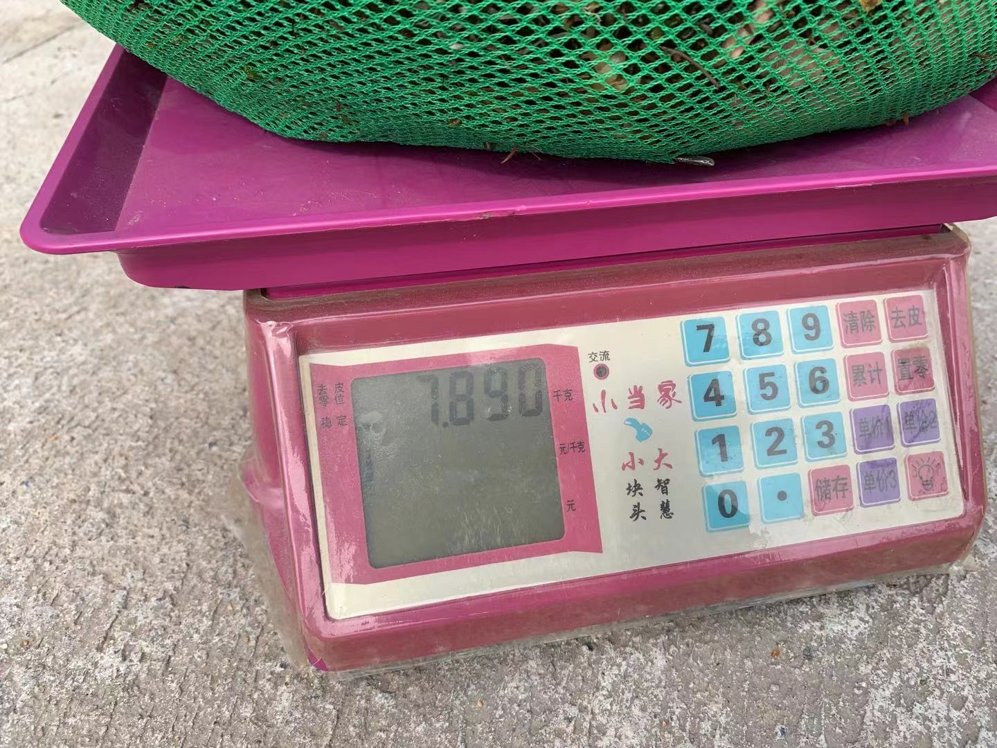
kilograms
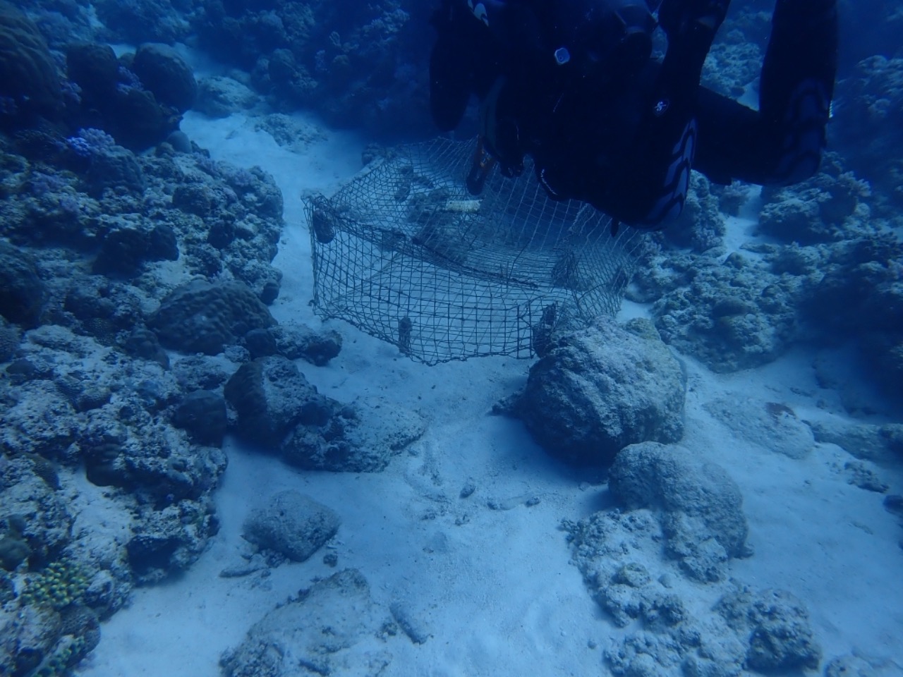
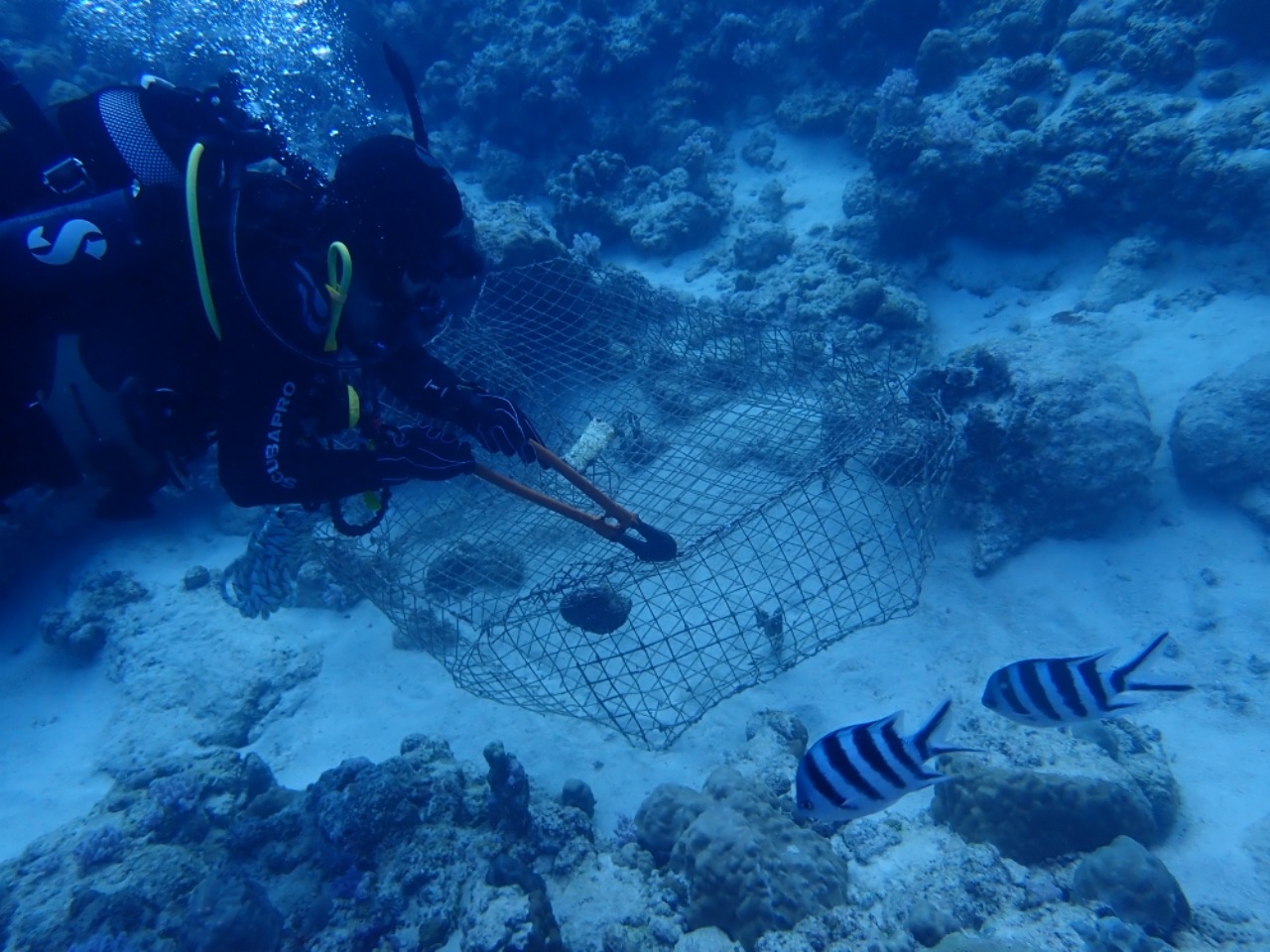
Our Survey Site was free of debris
Smooth (wavelets) for waves 0.1 - 0.5 meter high
m2

meters
rocky reef
State\Province
LIAONING
City
DALIAN
Map Help
Dive Location
If you know your survey site coordinates, enter them manually in decimal degrees using WGS84 Map Datum. Use the minus sign for latitudes south of the equator and longitudes west of the Prime Meridian to 180 degrees.
If you do not know your survey site coordinates, click the “Map Location” tab to use the map to zoom into your survey site and drop the pin on the map to fall within your survey dive site in the water (not on land or the beach). Ensure you zoom in as much as possible to ensure data accuracy.
Entangled Help