14, Chilsimni-ro 72beon-gil, Seogwipo-si, Jeju-do, Republic of Korea
33.2286914, 126.5474355
sunny
bluein
DONGJU LEE
4
3
2
18.00
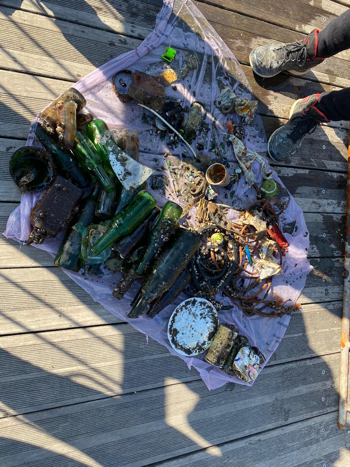
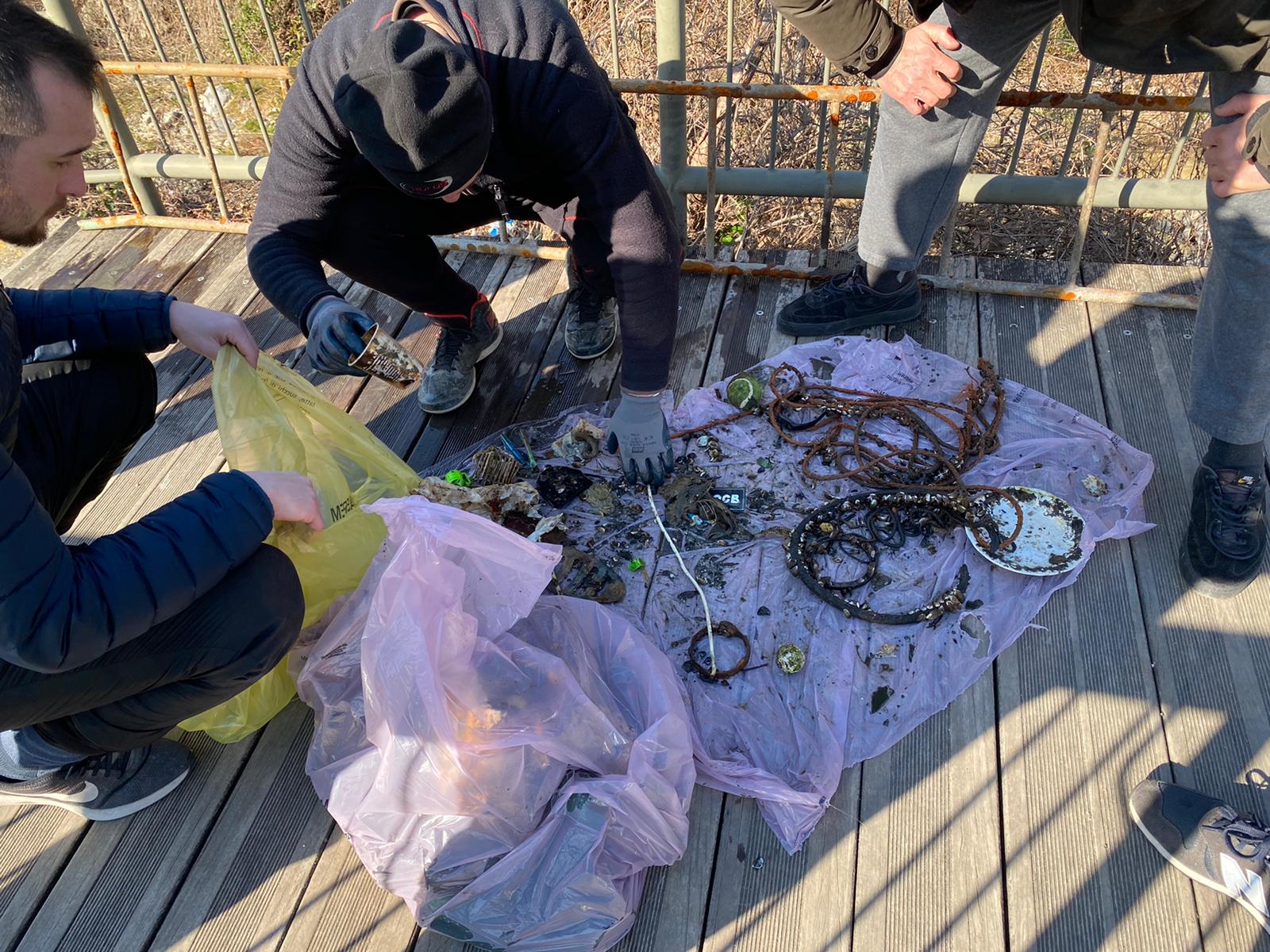
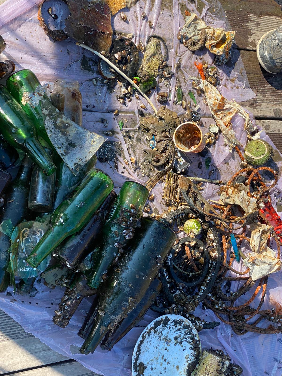
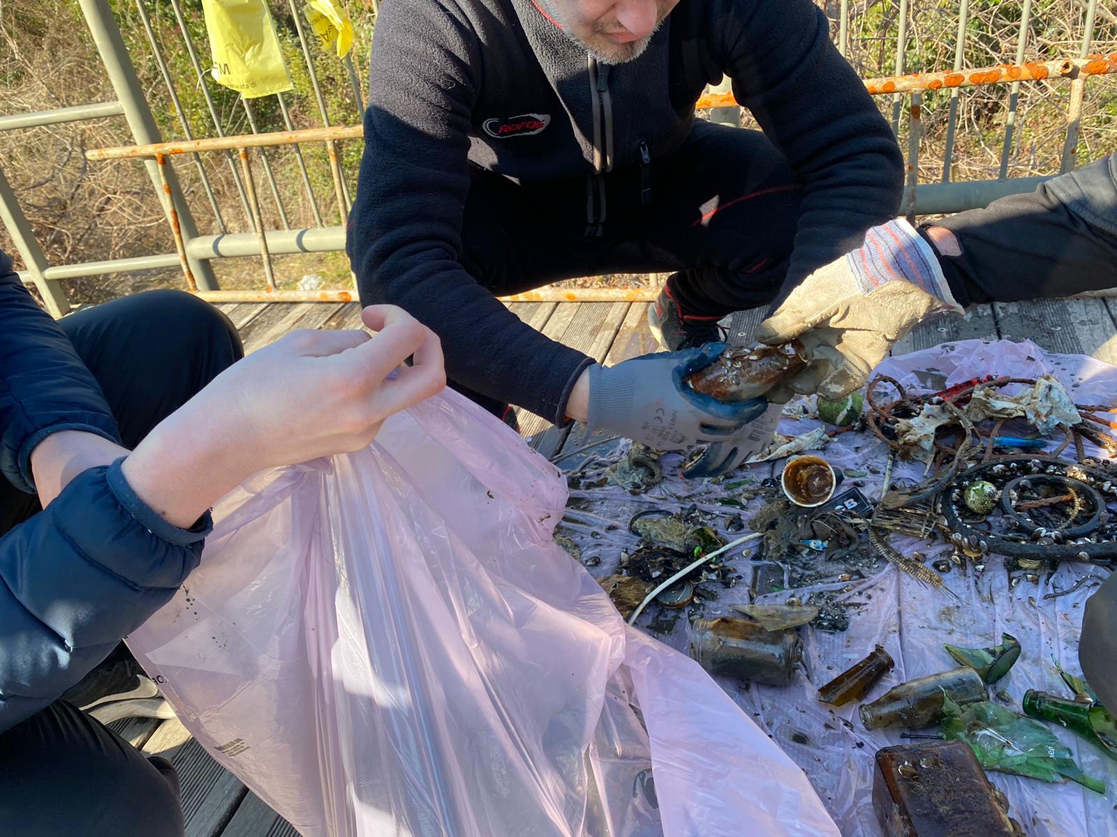
43
12.00
4.00
measured
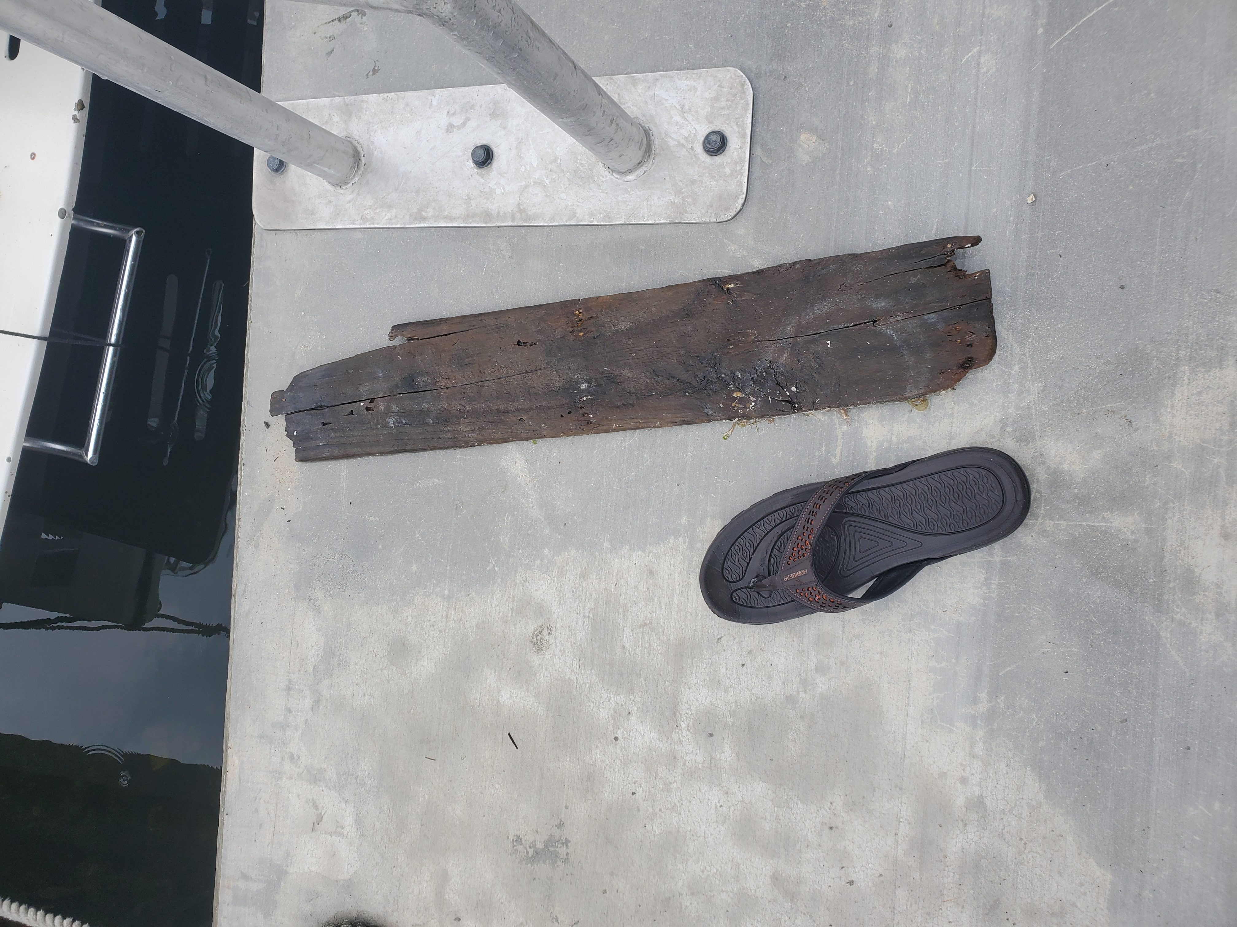
330.00
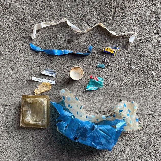
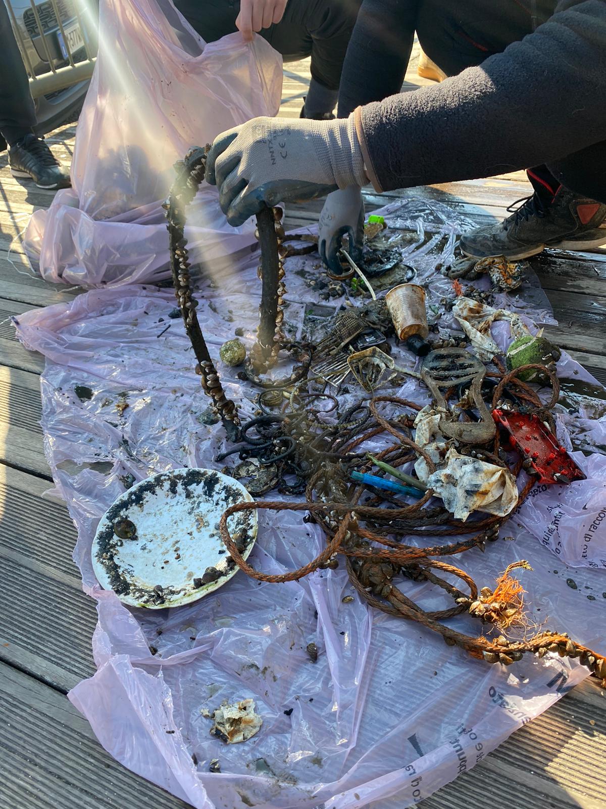
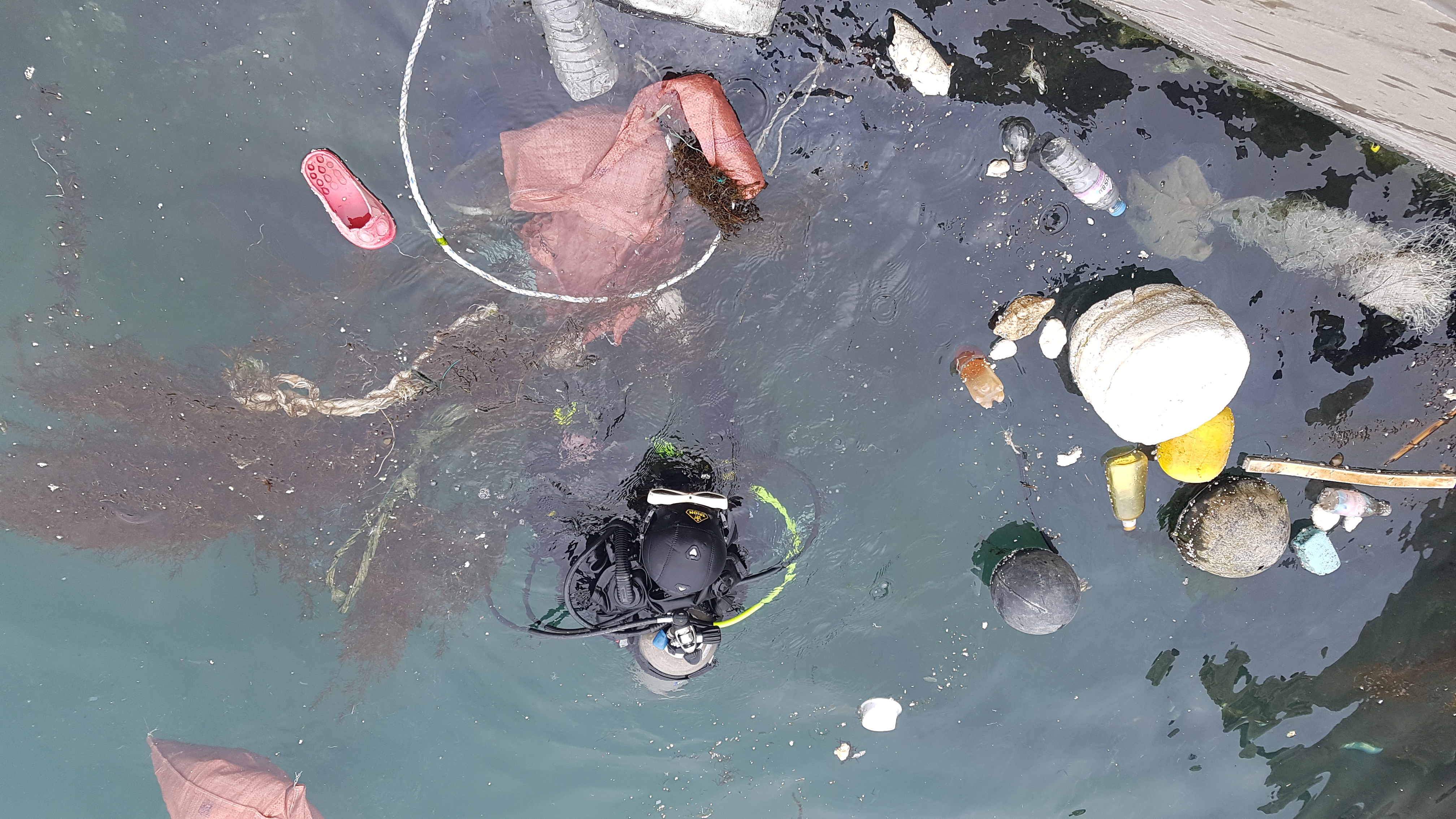
일회용 플라스틱
생활쓰레기
On
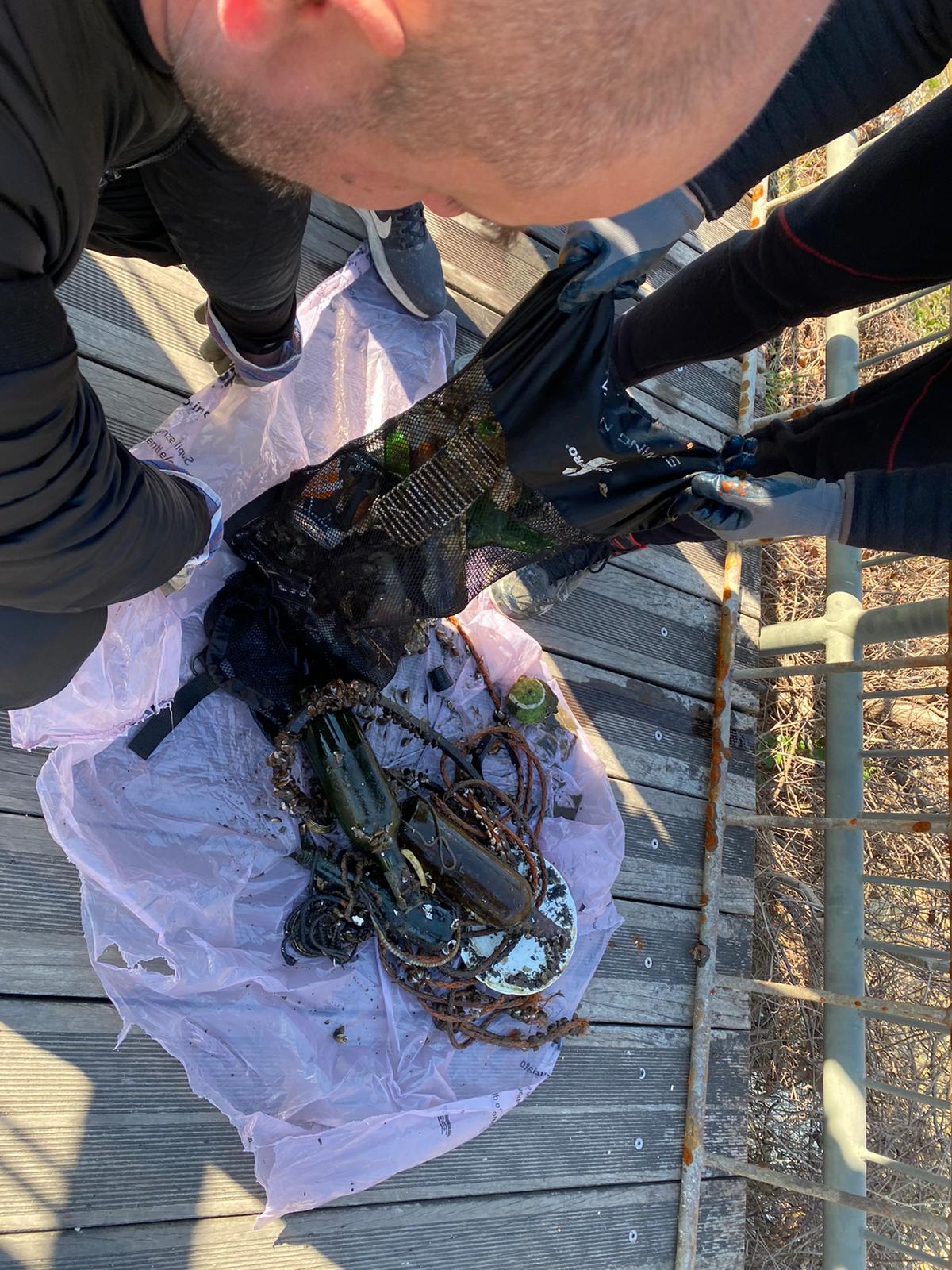
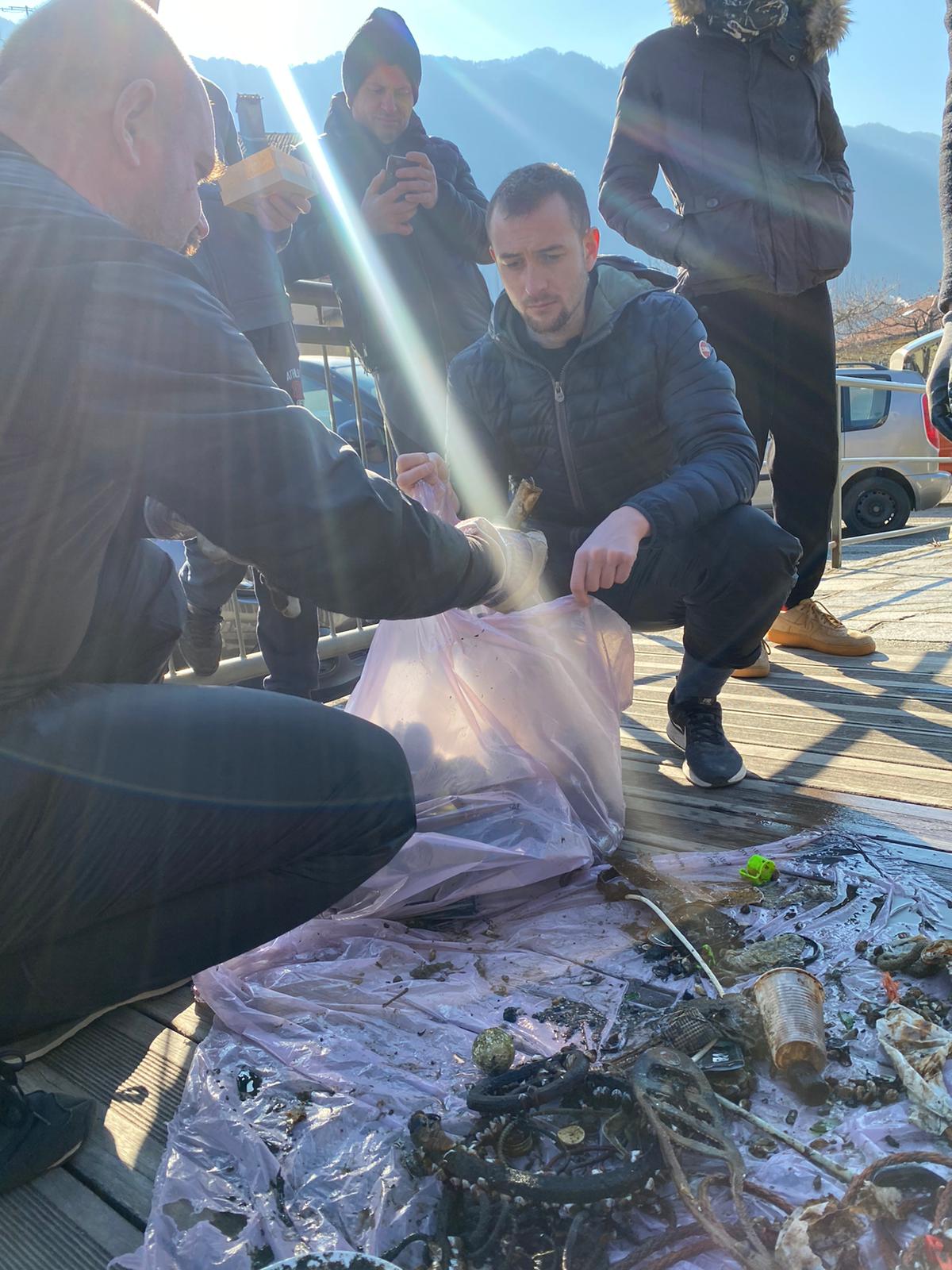
kilograms
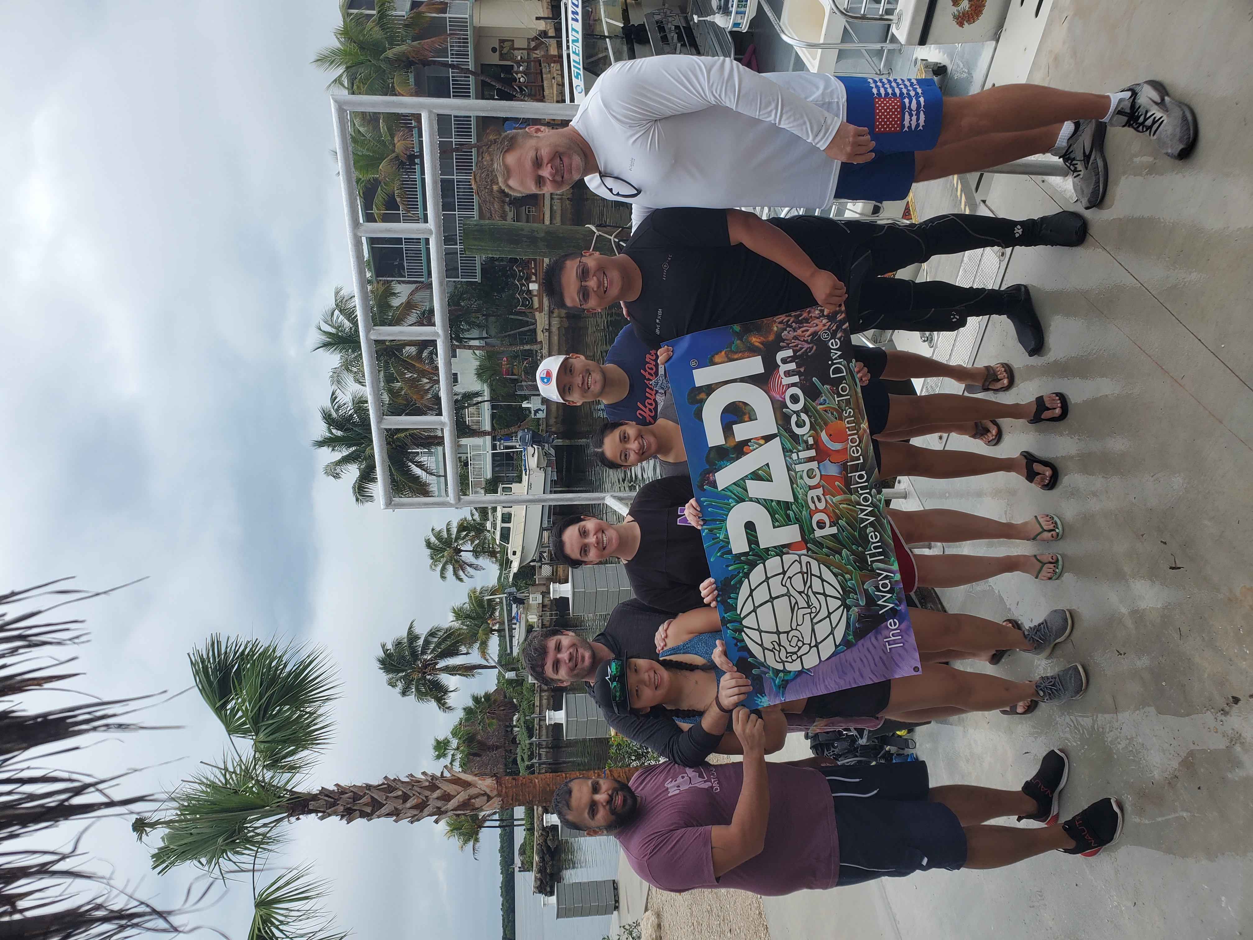
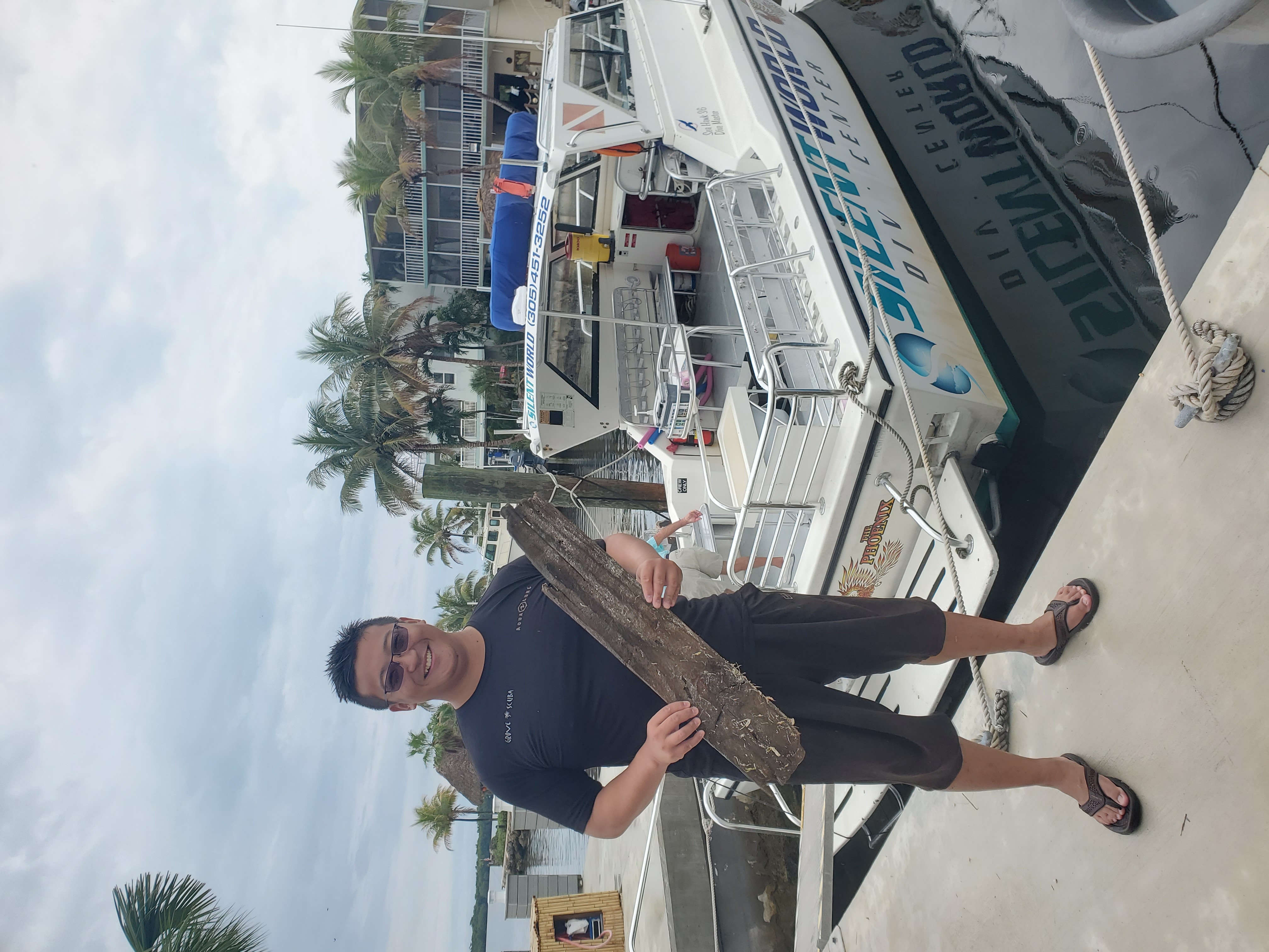
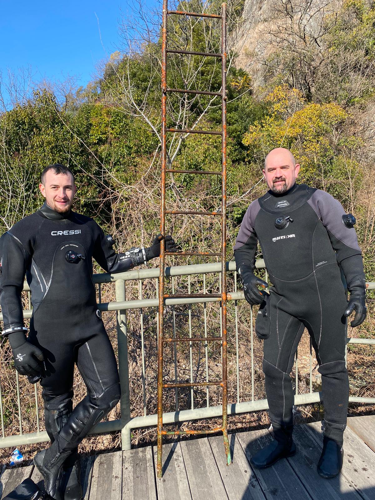
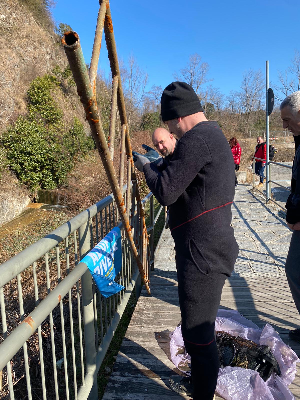
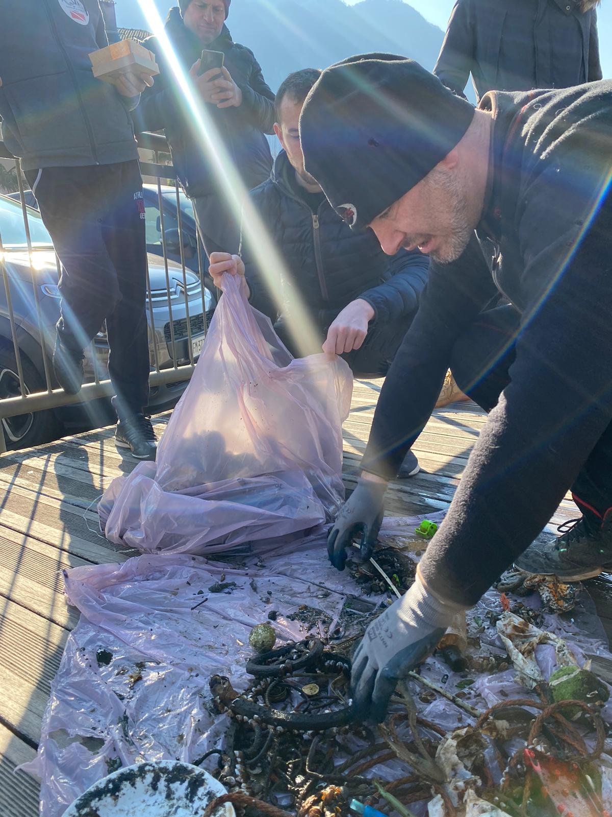
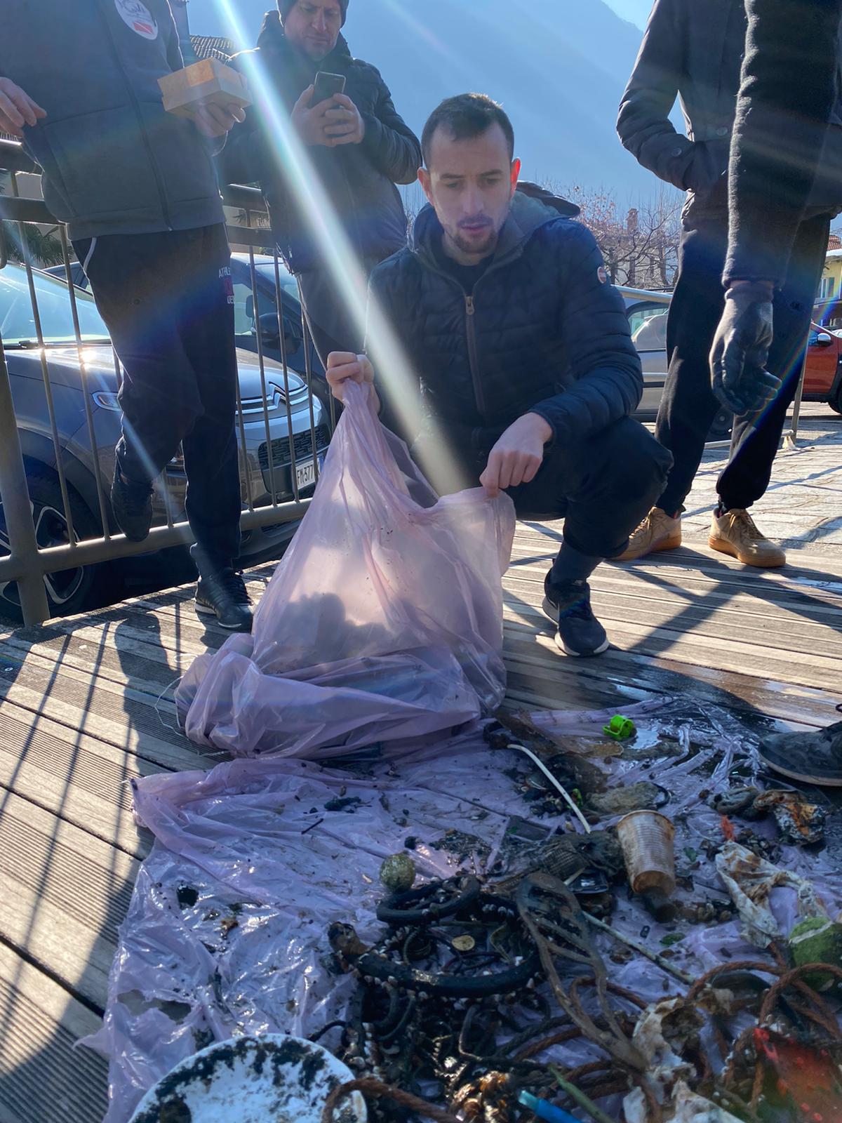
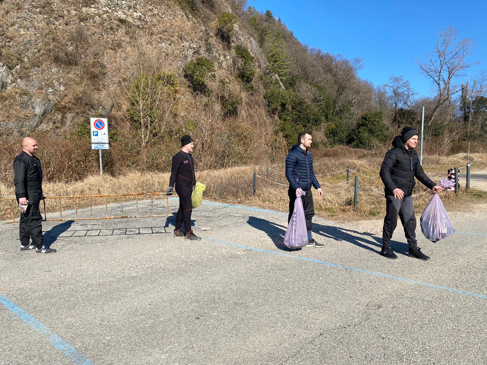
I have debris data to report
2
3
Smooth (wavelets) for waves 0.1 - 0.5 meter high
m2
meters
rocky reef
1
4
2
State\Province
Jeju-do
City
Seogwipo-si,
Map Help
Dive Location
If you know your survey site coordinates, enter them manually in decimal degrees using WGS84 Map Datum. Use the minus sign for latitudes south of the equator and longitudes west of the Prime Meridian to 180 degrees.
If you do not know your survey site coordinates, click the “Map Location” tab to use the map to zoom into your survey site and drop the pin on the map to fall within your survey dive site in the water (not on land or the beach). Ensure you zoom in as much as possible to ensure data accuracy.
Entangled Help