Turtle Harbor
seagrass


 United States
25.307345722763, -80.207035494657
Trap #1 = 85 lbs, Trap #2 = 87 lbs, Trap #3 = 91.8 lbs Trap #4 = 78.5 lbs Total: 342.3 lbs
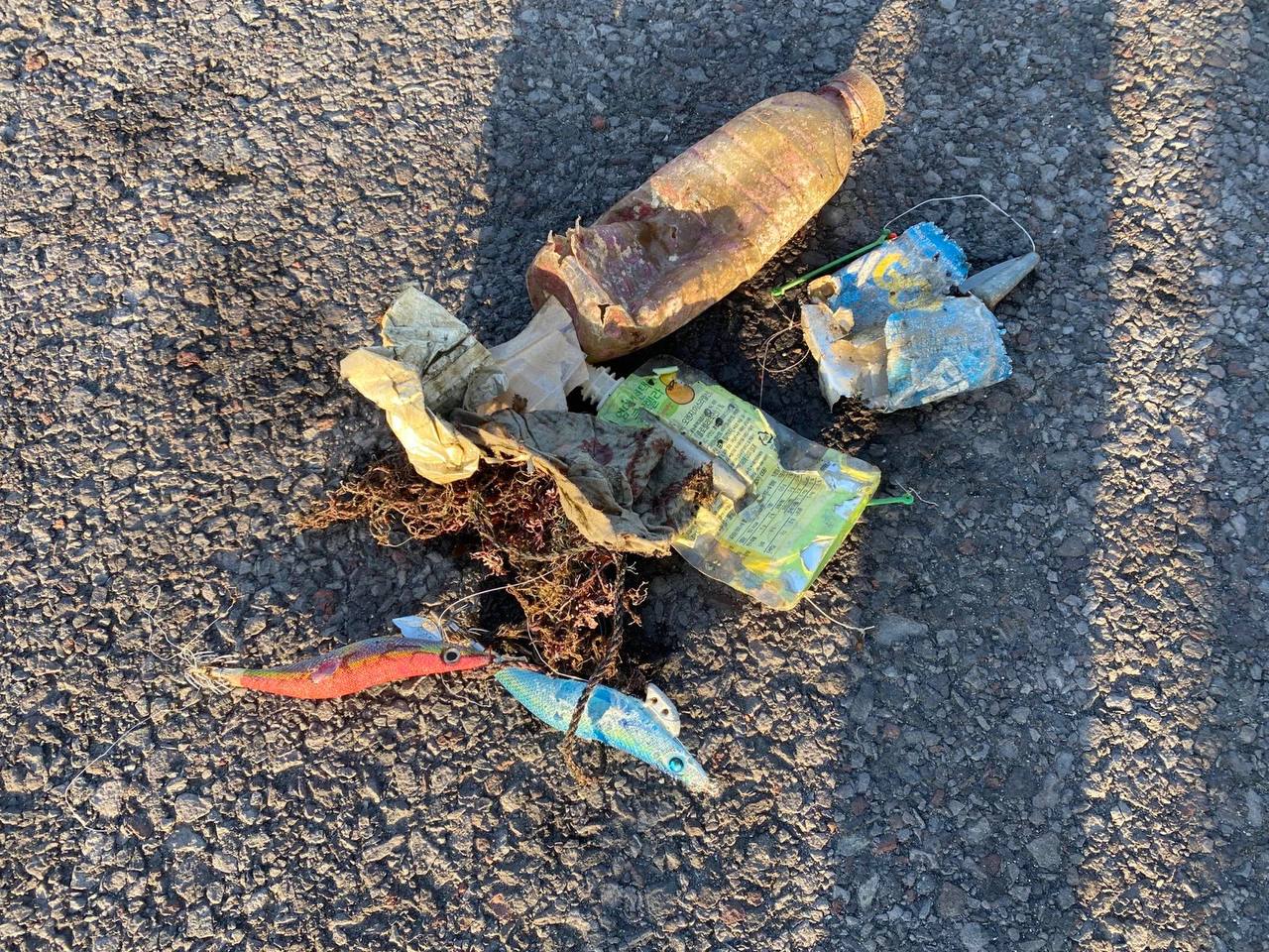
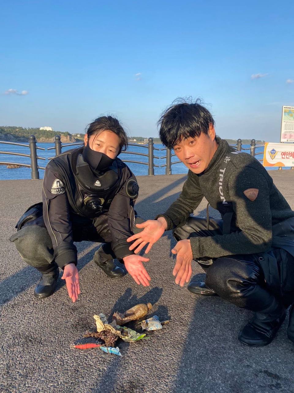
We removed the tags from the traps and can send pictures of them if you'd like.
We also removed 800 ft of line that connected the traps.
We removed the tags from the traps and can send pictures of them if you'd like.
We also removed 800 ft of line that connected the traps.
flat, afternoon thunderstorms
11
lobster trap line
The Dive Shop (Ocean Reef)
Jesus Gudino
4
387.80
50
12.00
10.00
measured
4
250.84
On
pounds
I have debris data to report
Calm (glassy to rippled) for waves 0 – 0.1 meter high
trapped inside a derelict lobster trap
Caribbean Spiny Lobster
Released Unharmed
2
m2
meters
coral reef
State\Province
Florida
City
Key Largo
Map Help
Dive Location
If you know your survey site coordinates, enter them manually in decimal degrees using WGS84 Map Datum. Use the minus sign for latitudes south of the equator and longitudes west of the Prime Meridian to 180 degrees.
If you do not know your survey site coordinates, click the “Map Location” tab to use the map to zoom into your survey site and drop the pin on the map to fall within your survey dive site in the water (not on land or the beach). Ensure you zoom in as much as possible to ensure data accuracy.
Entangled Help