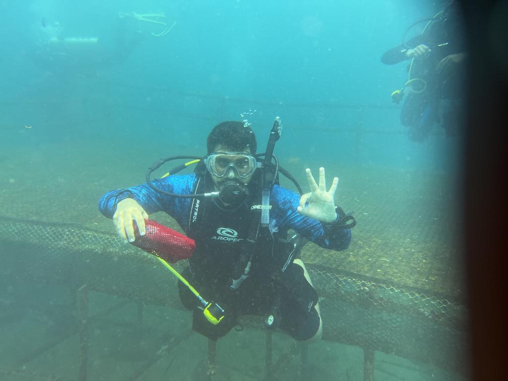
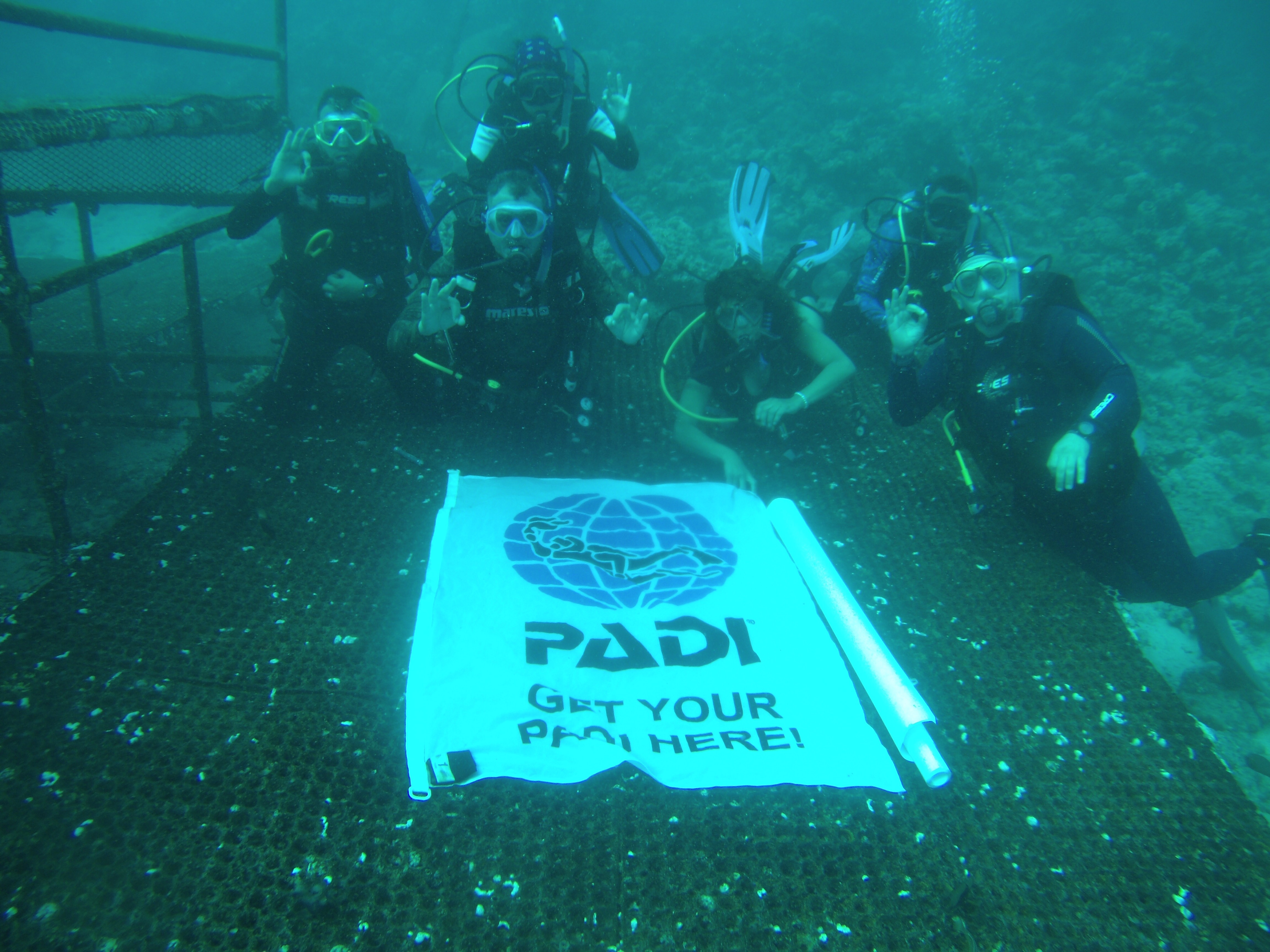
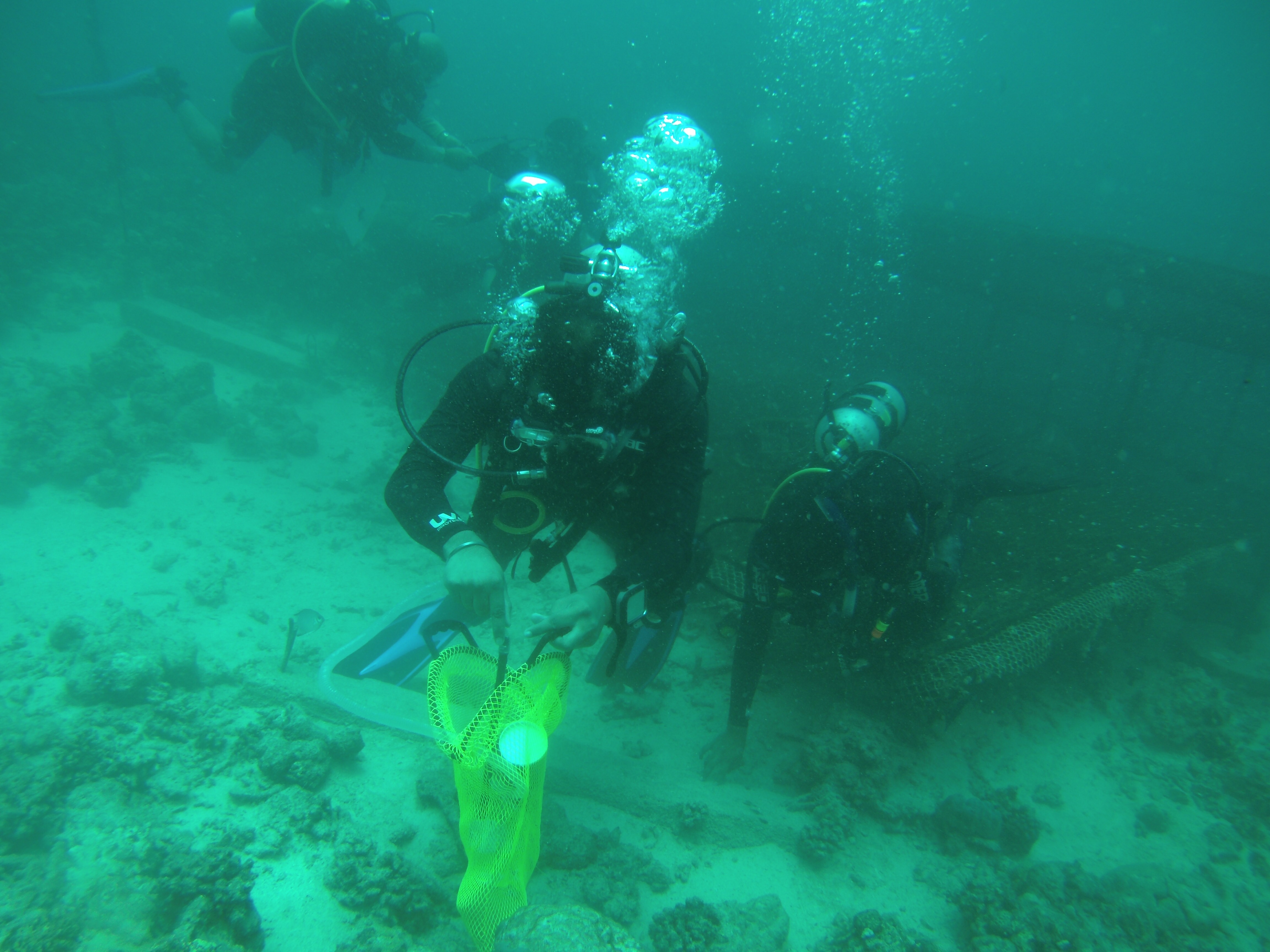
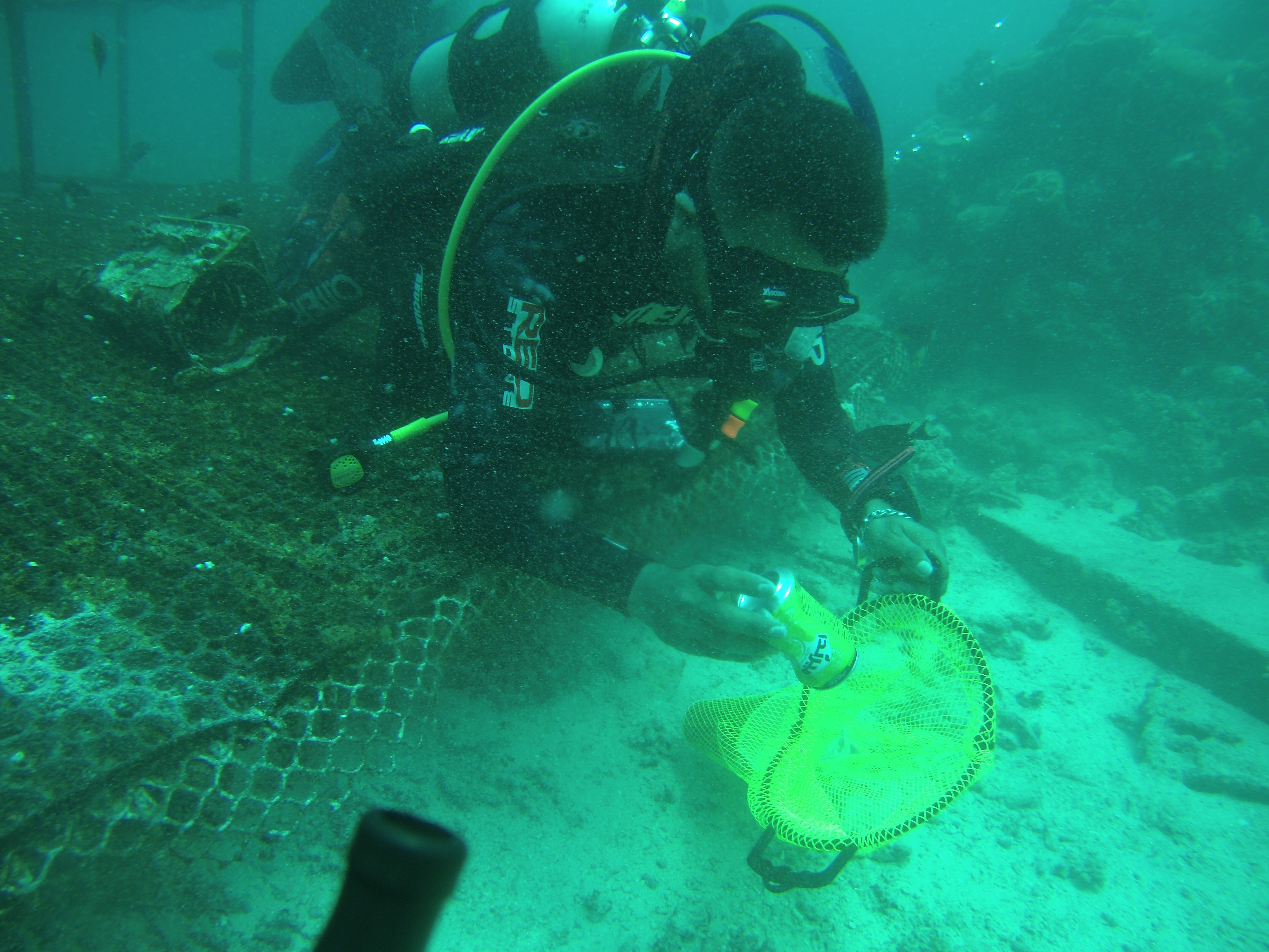
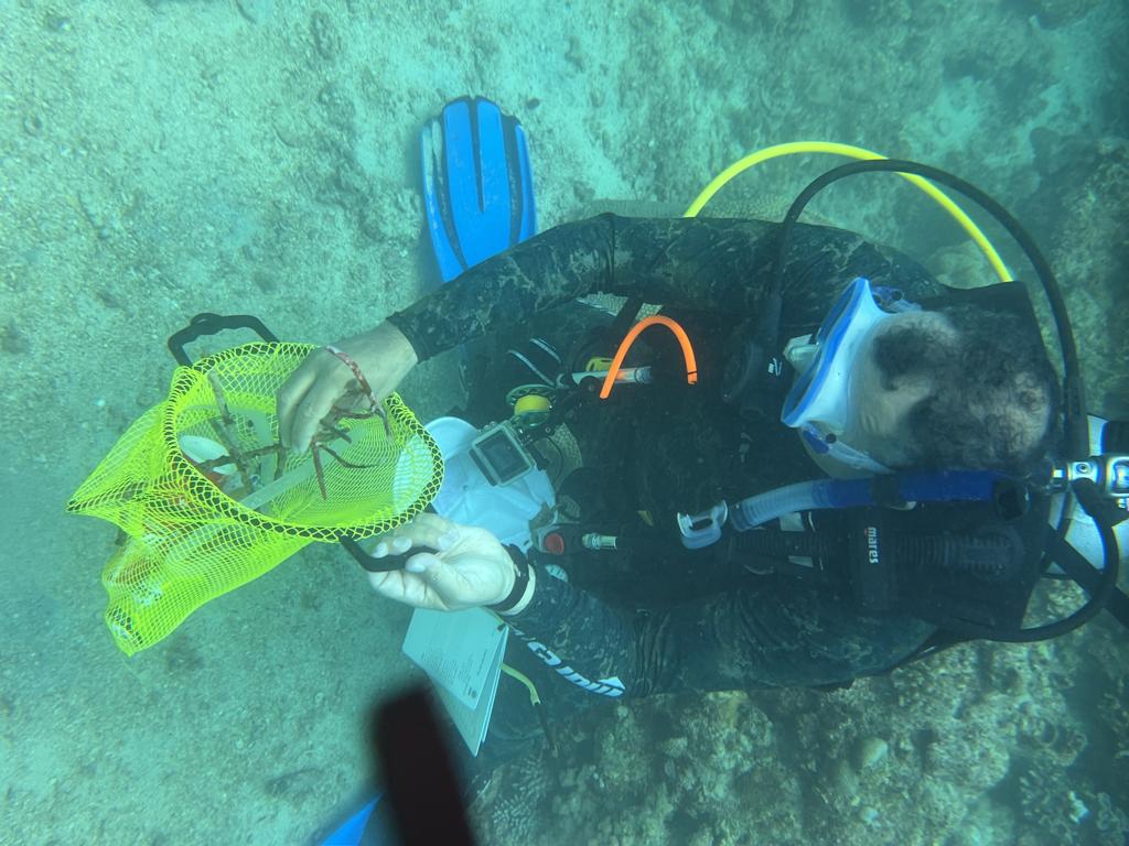
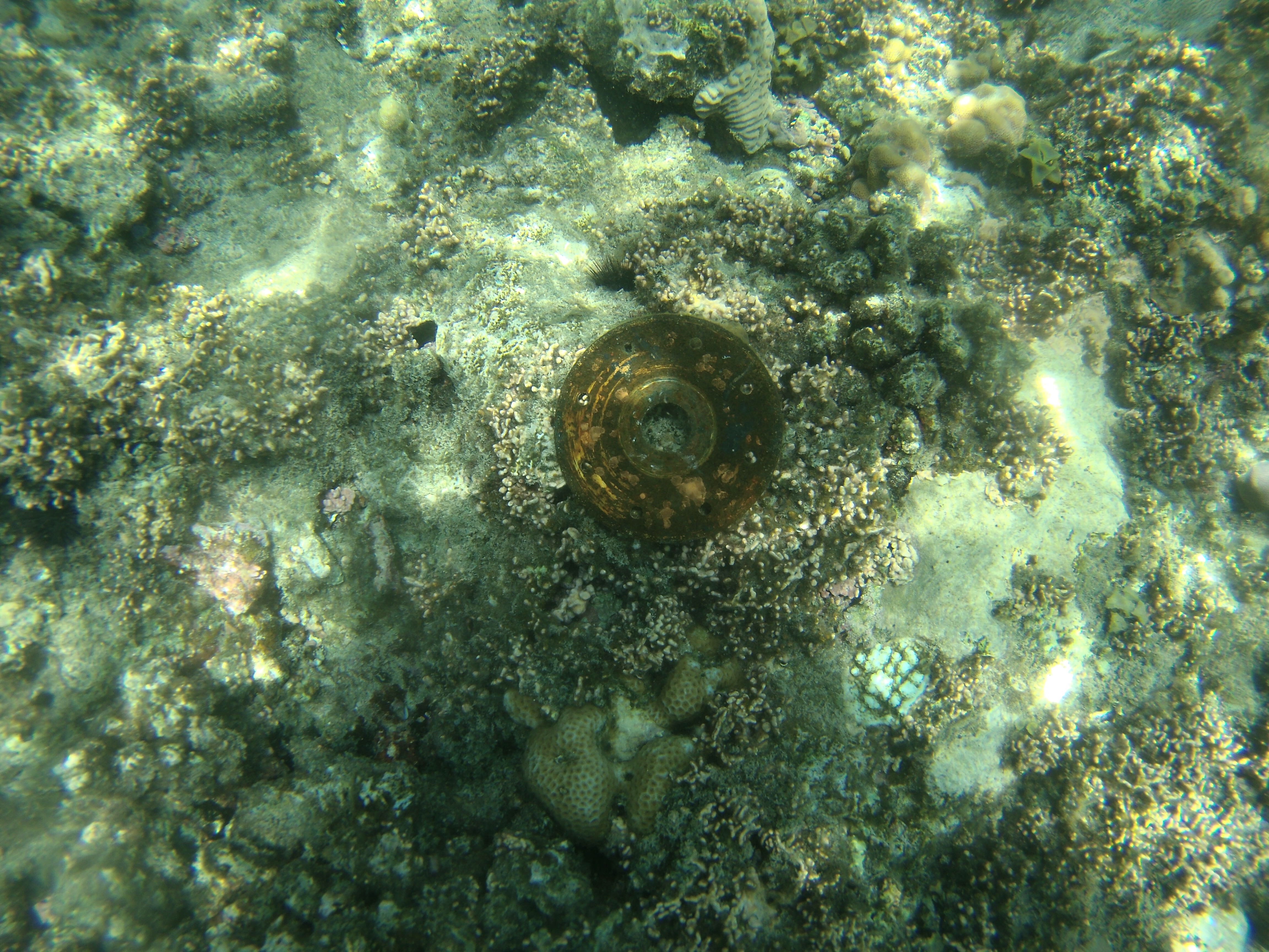
Dibba Rock
25.603136, 56.351295
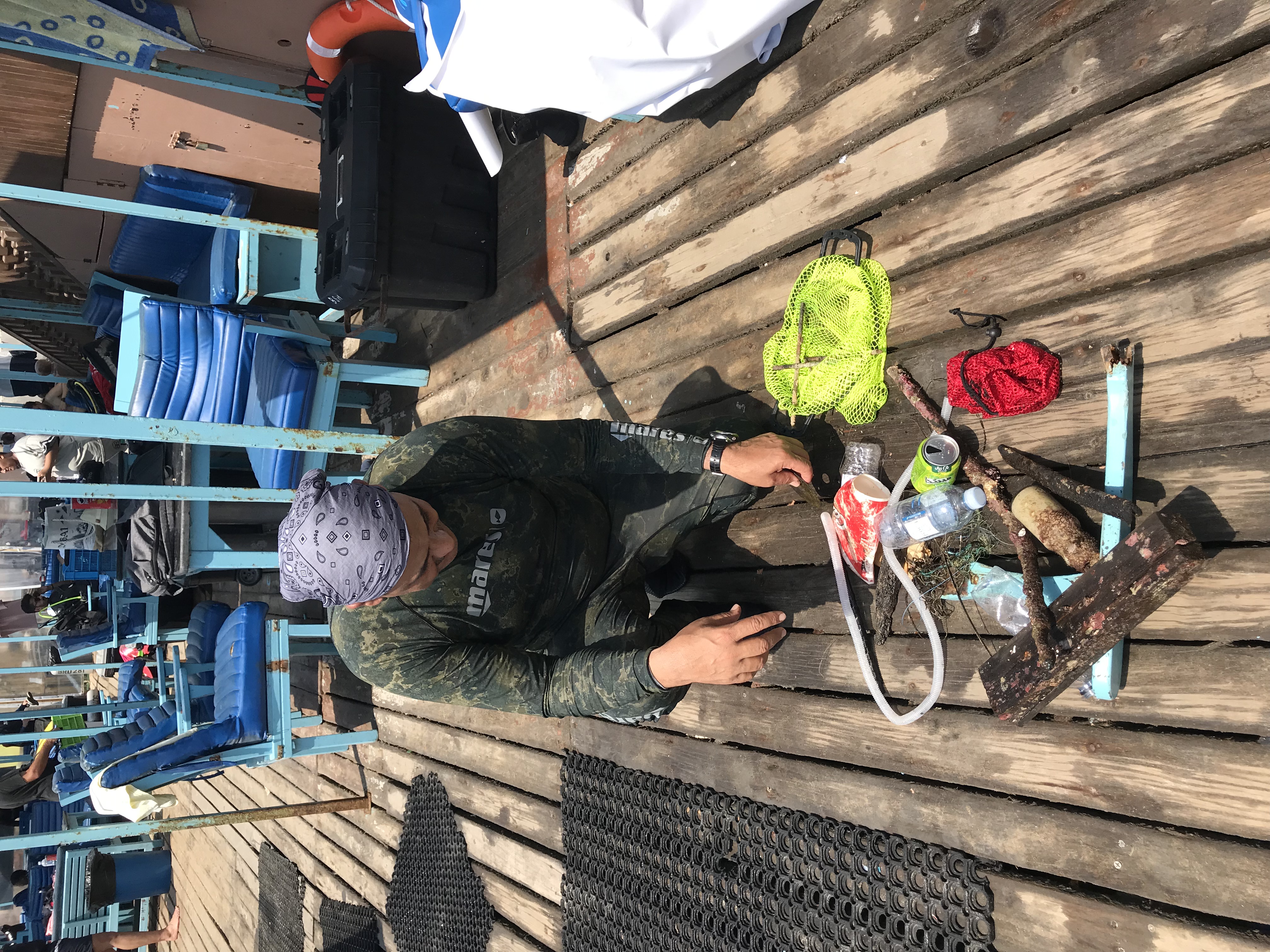
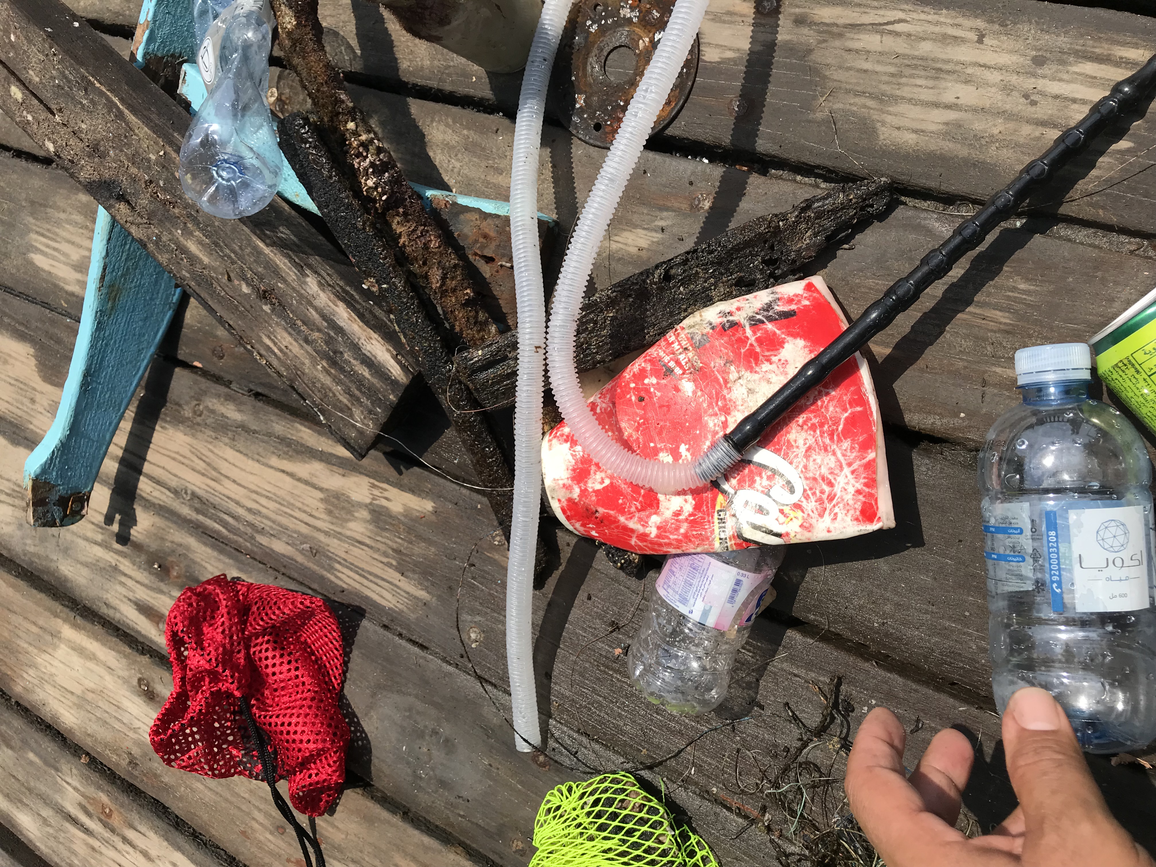
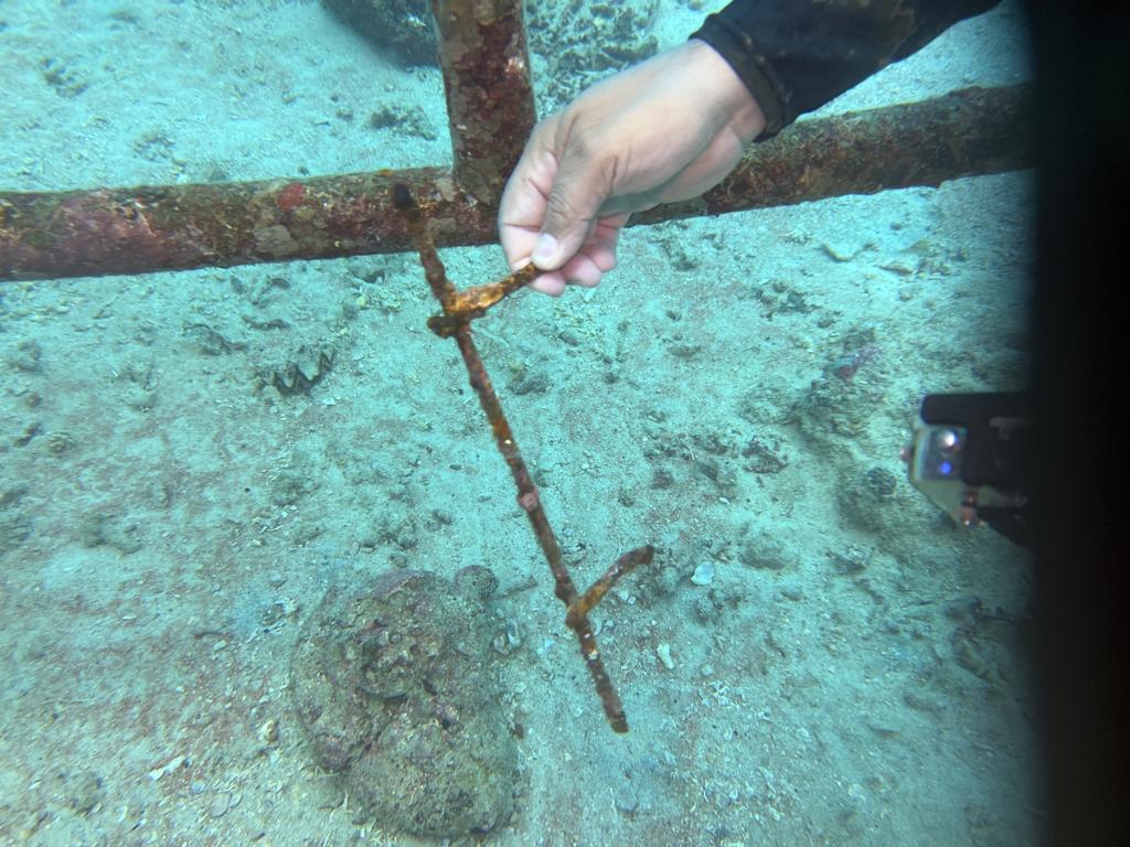
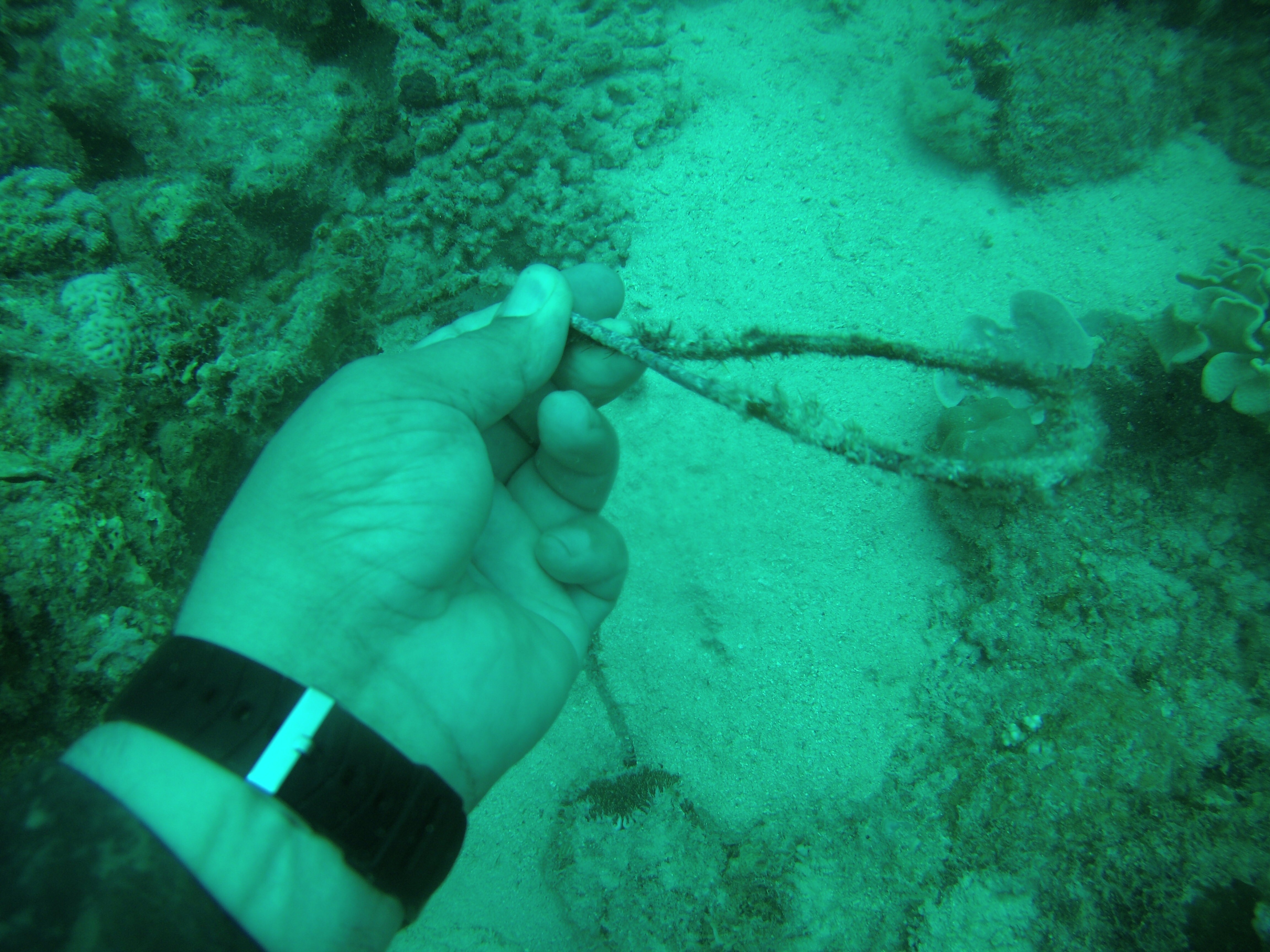
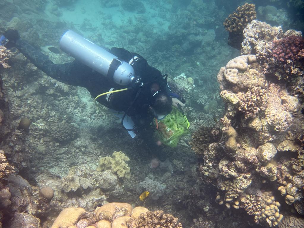
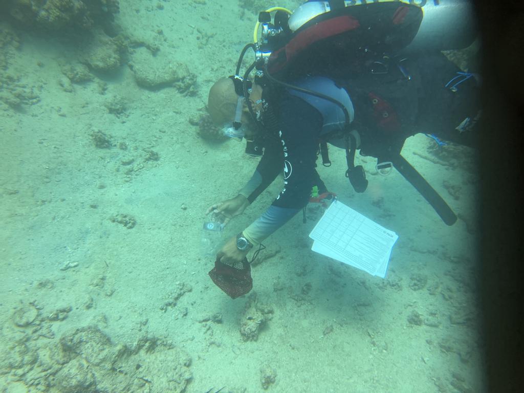
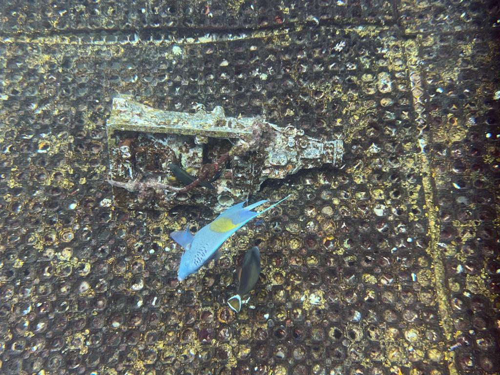
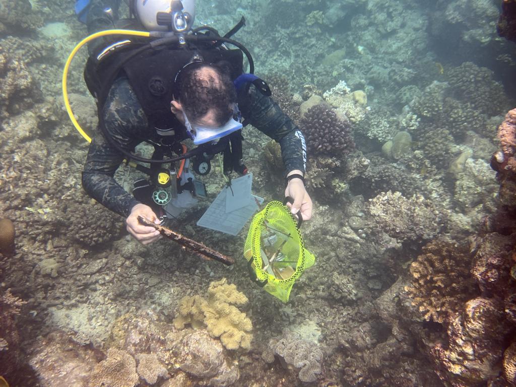
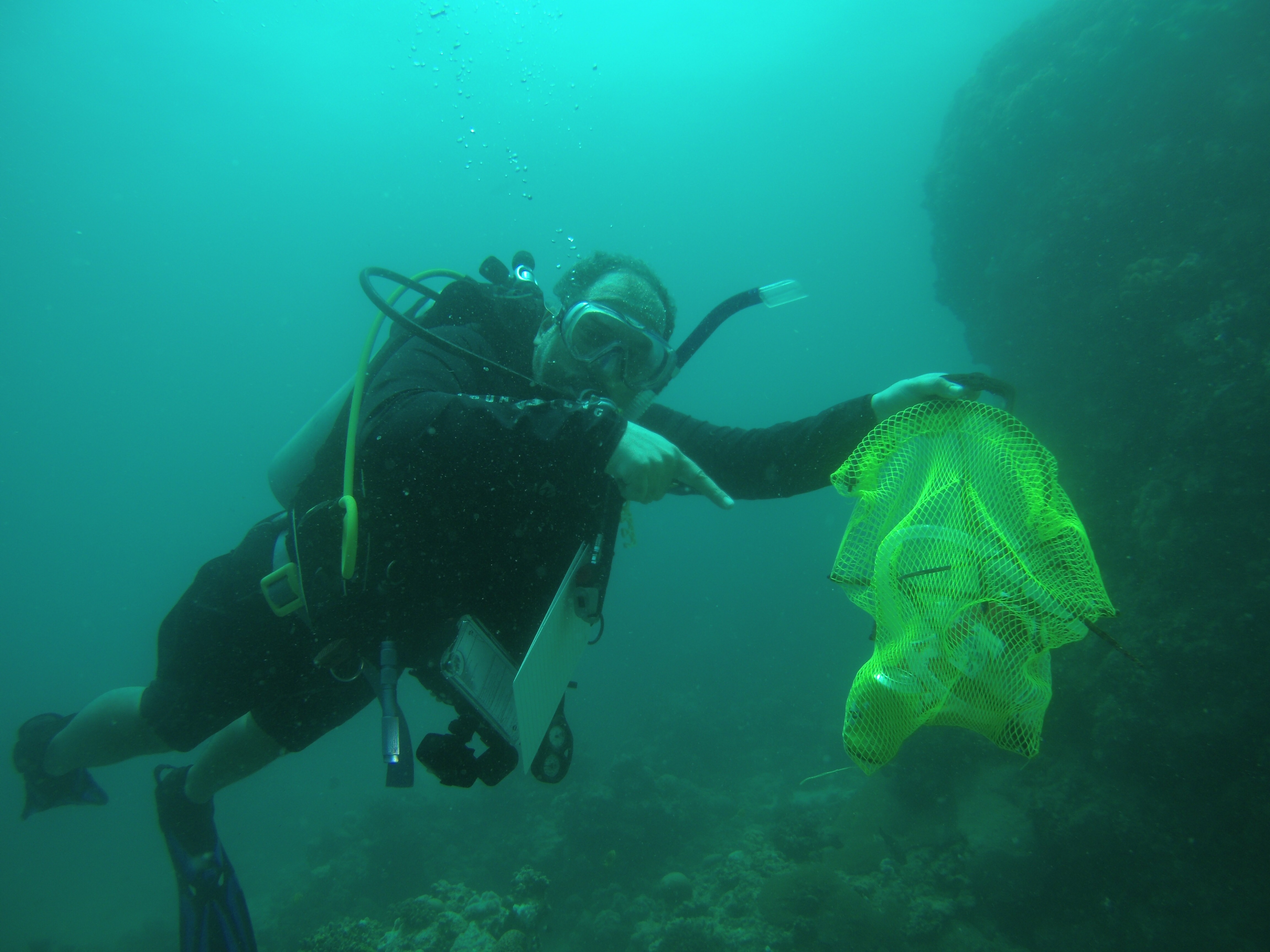
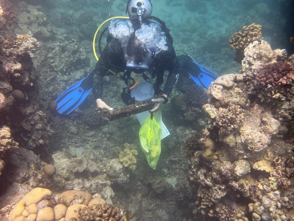
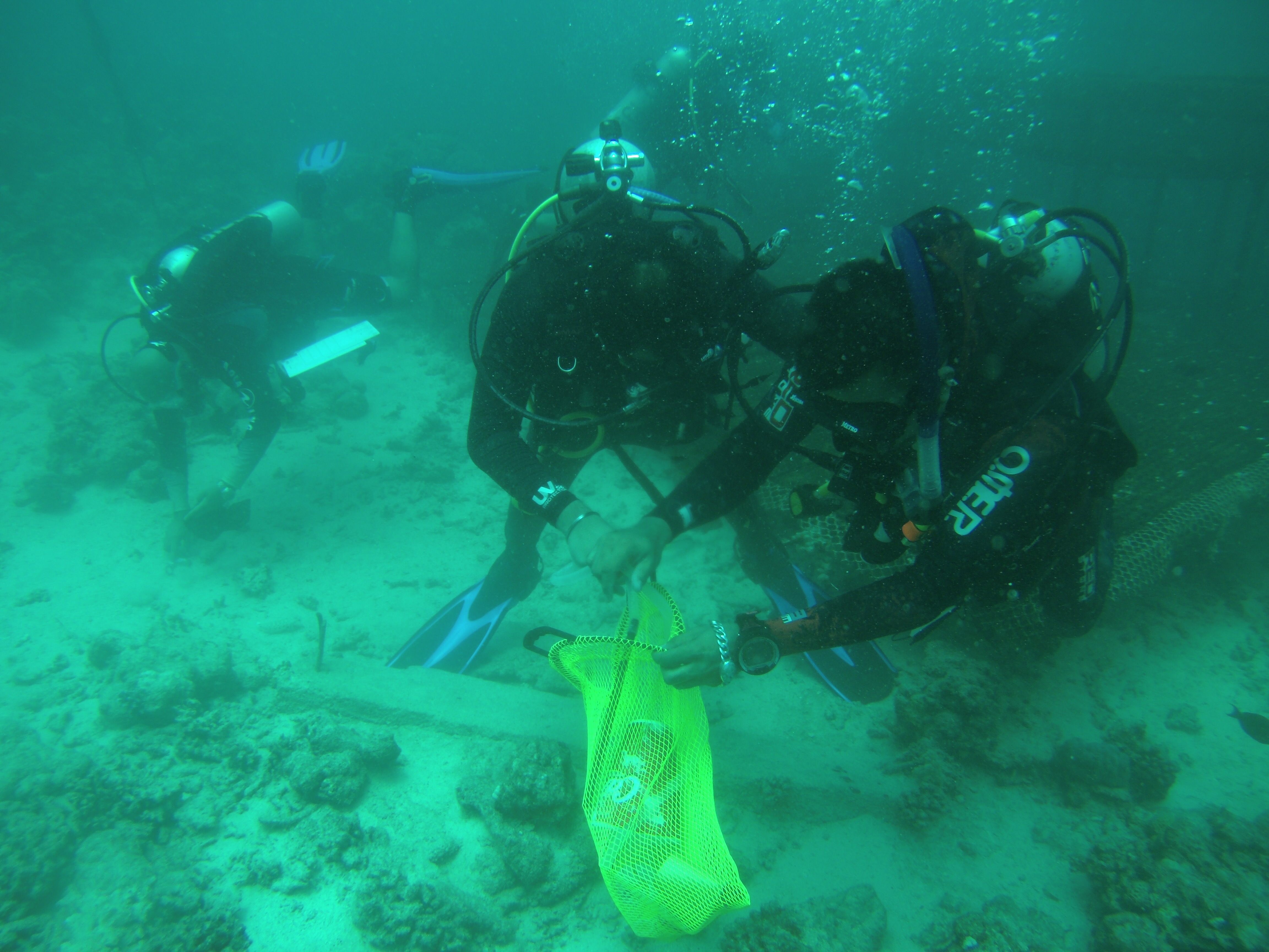
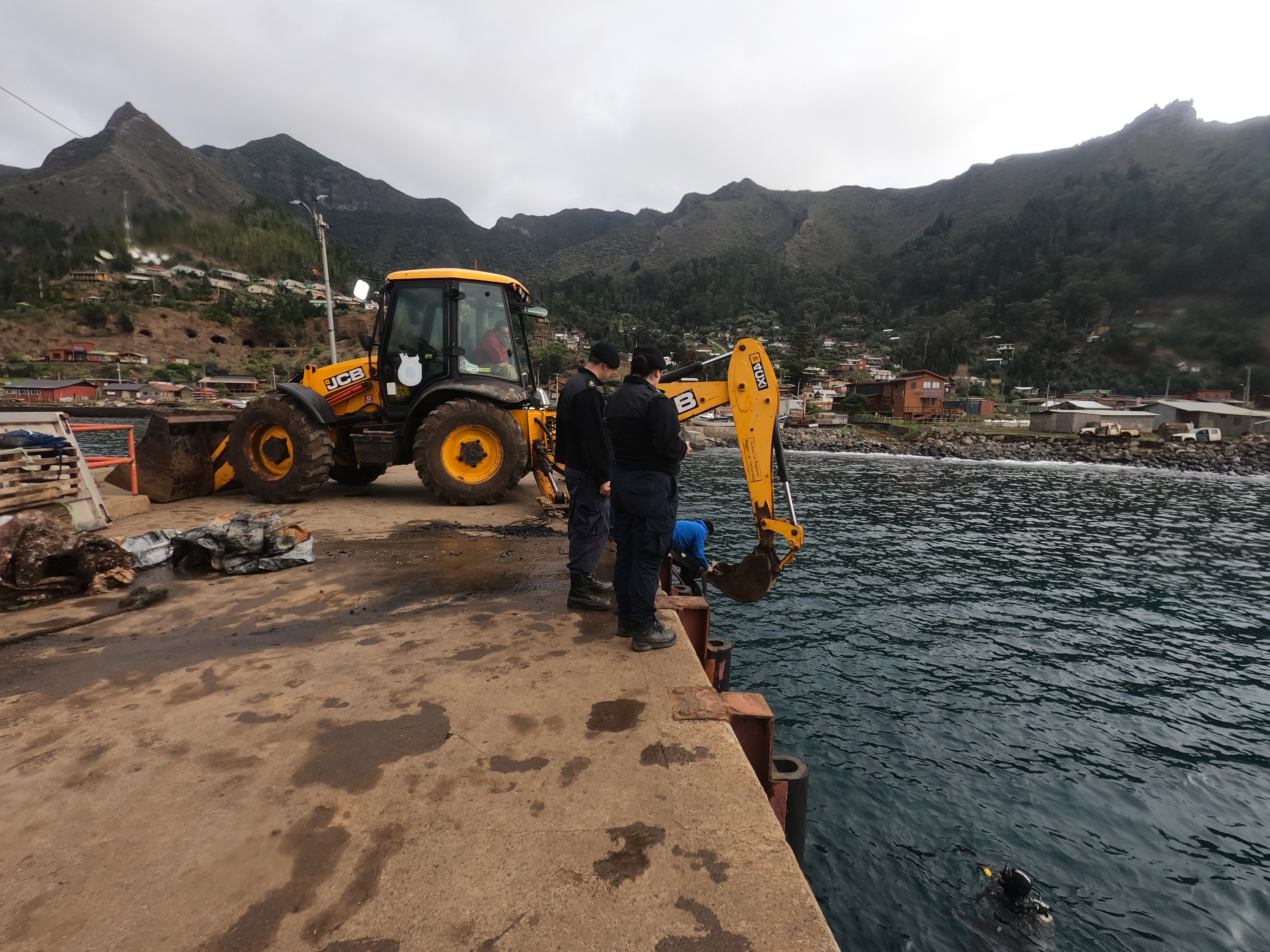
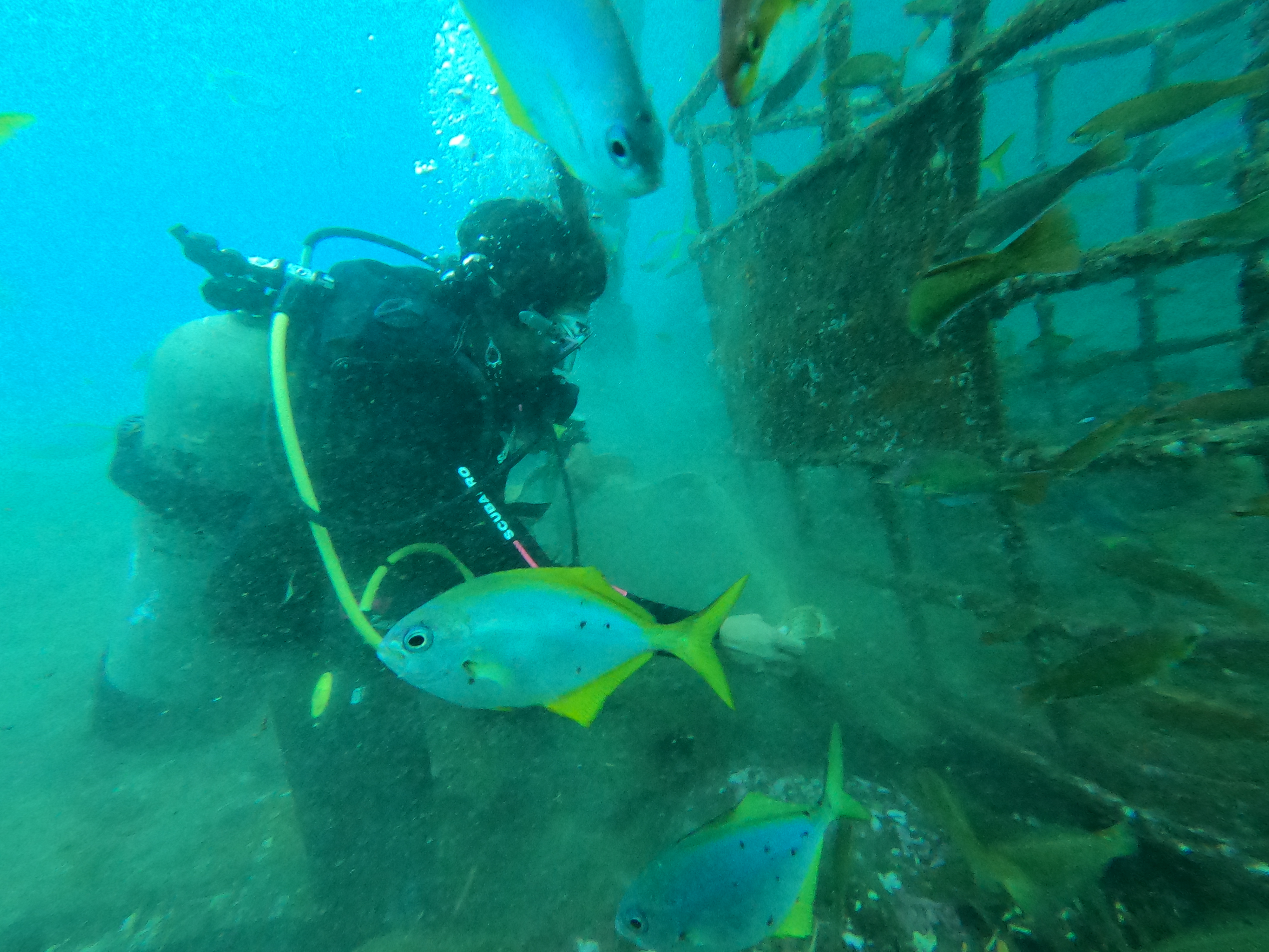
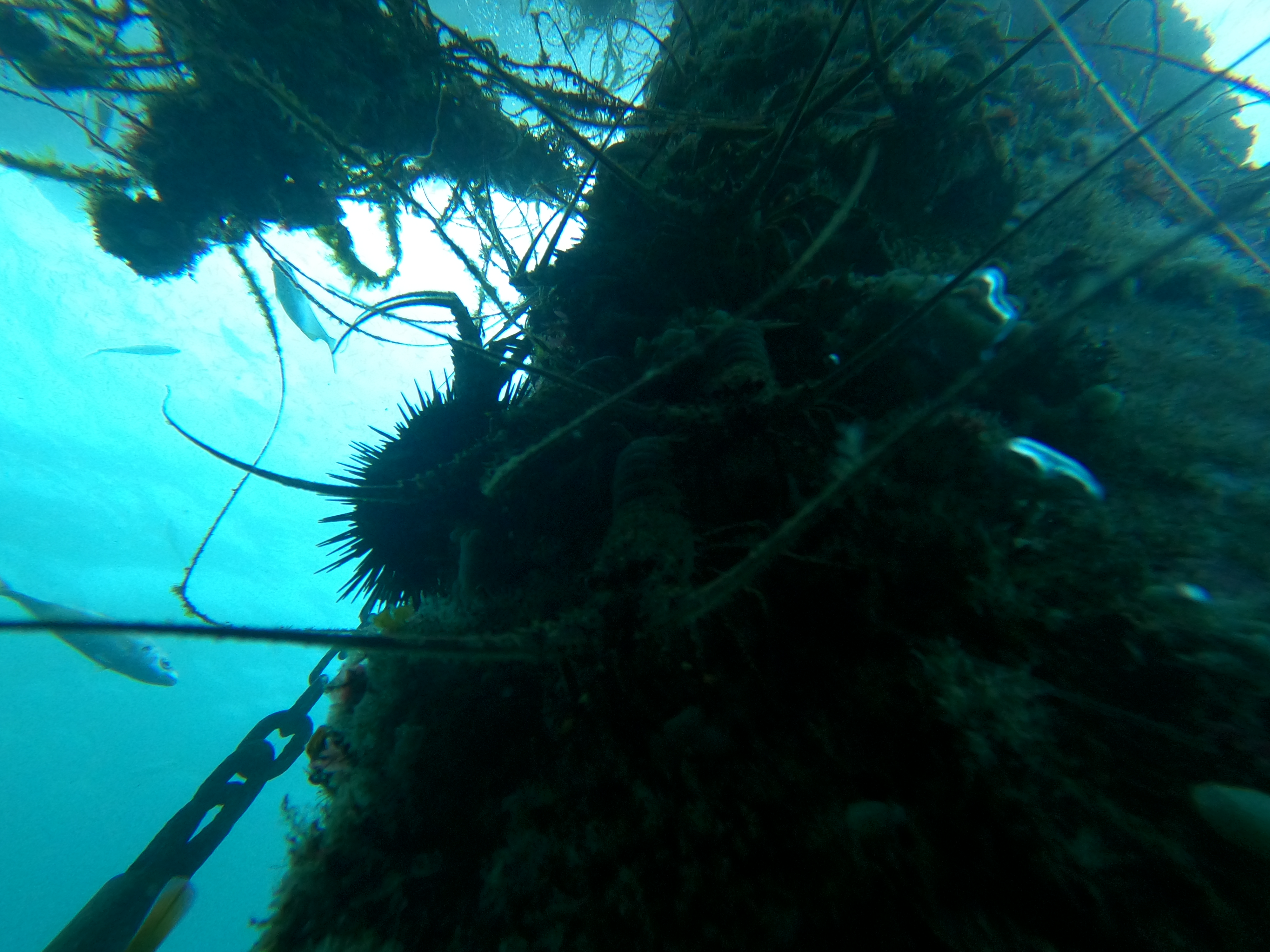
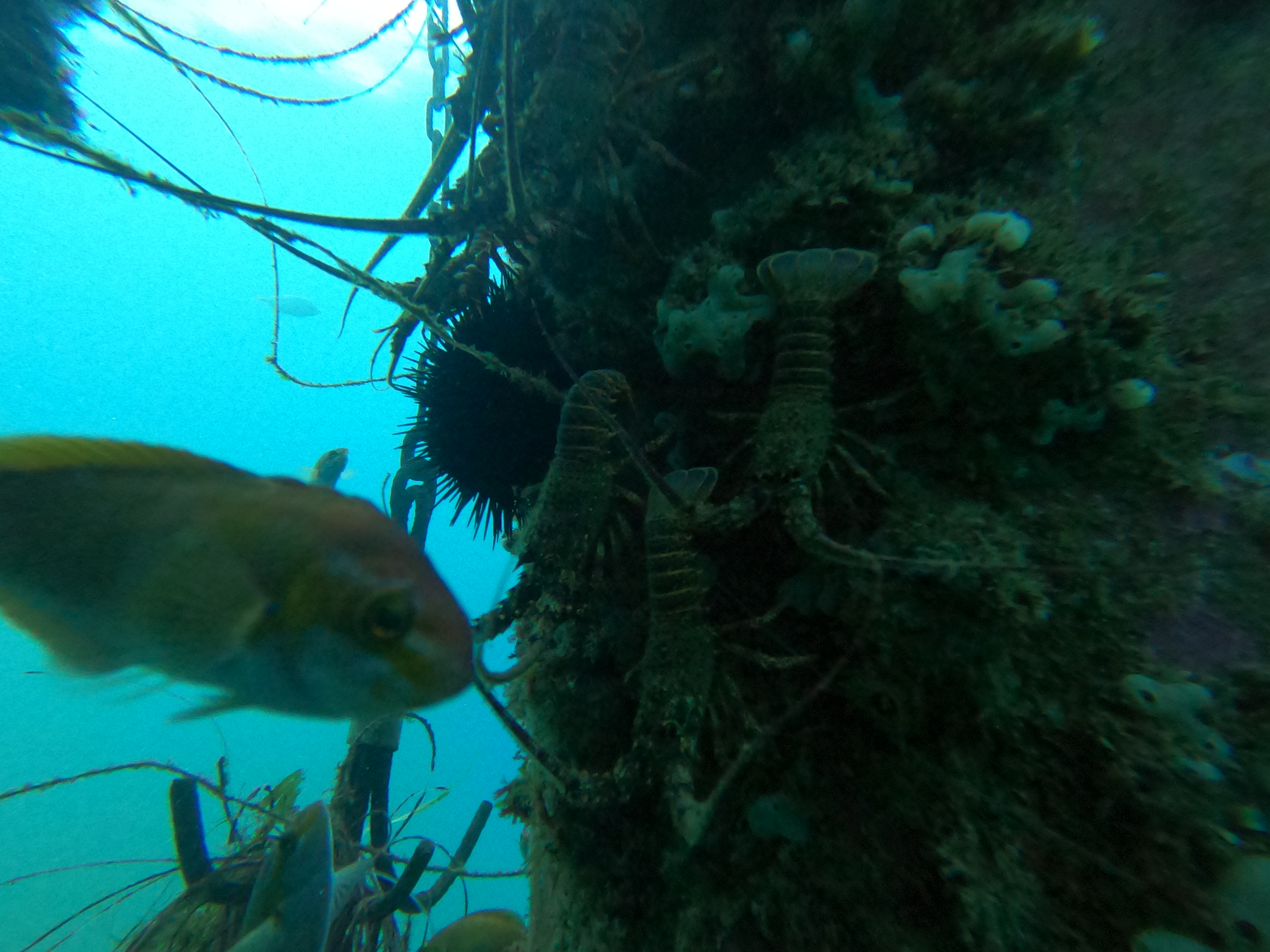
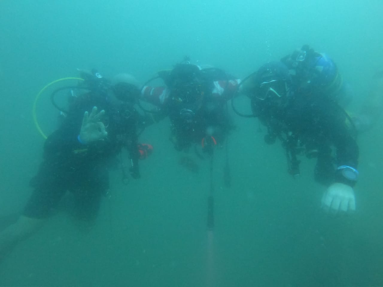
I guess due to the heavy traffic of scuba divers on this dive site, the existence of debris is almost nil
Normal weather conditions for this time of the year. Moderate current but thermocline is very intense. Temperature vary between 30 ~ 25c
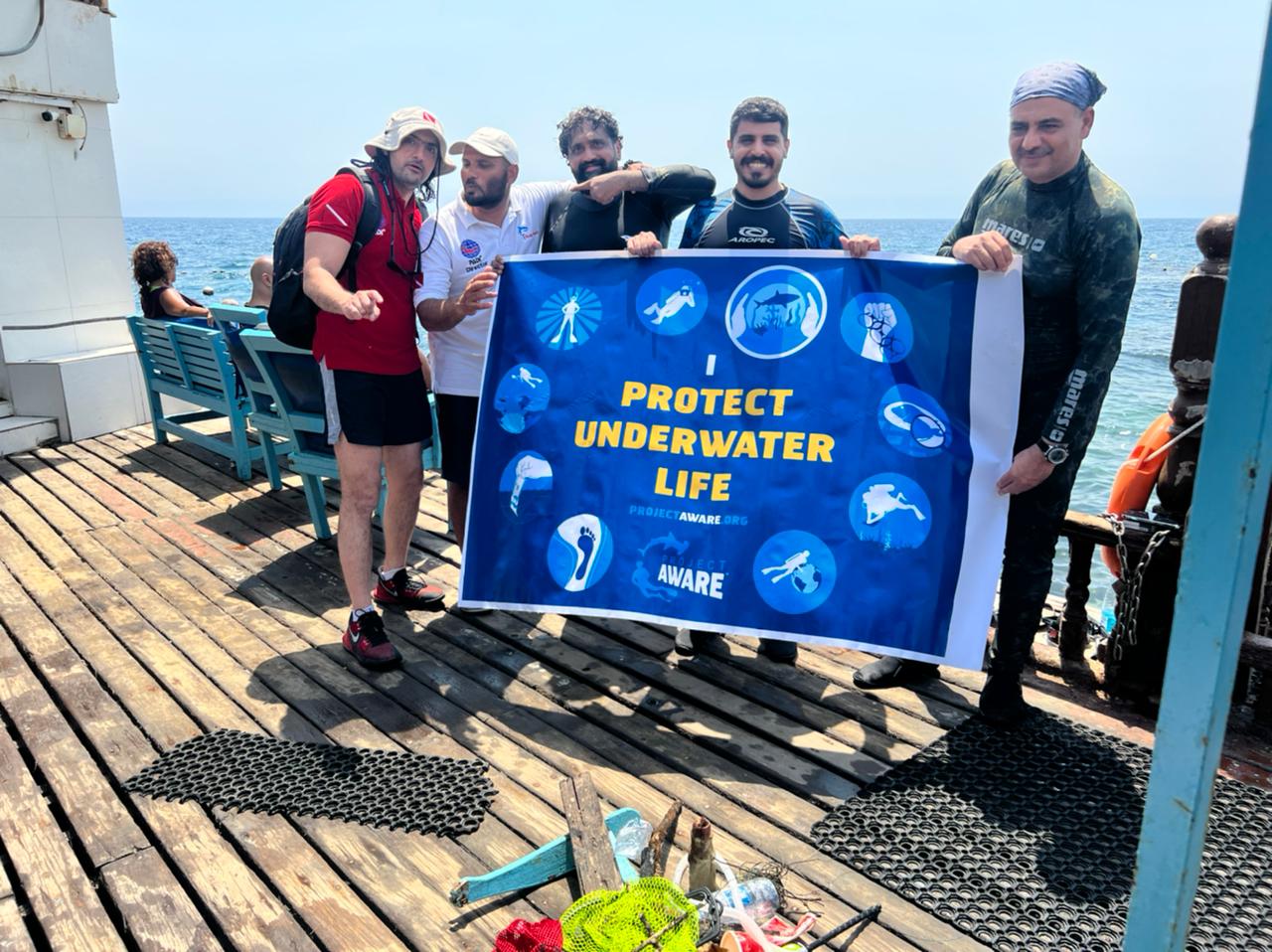
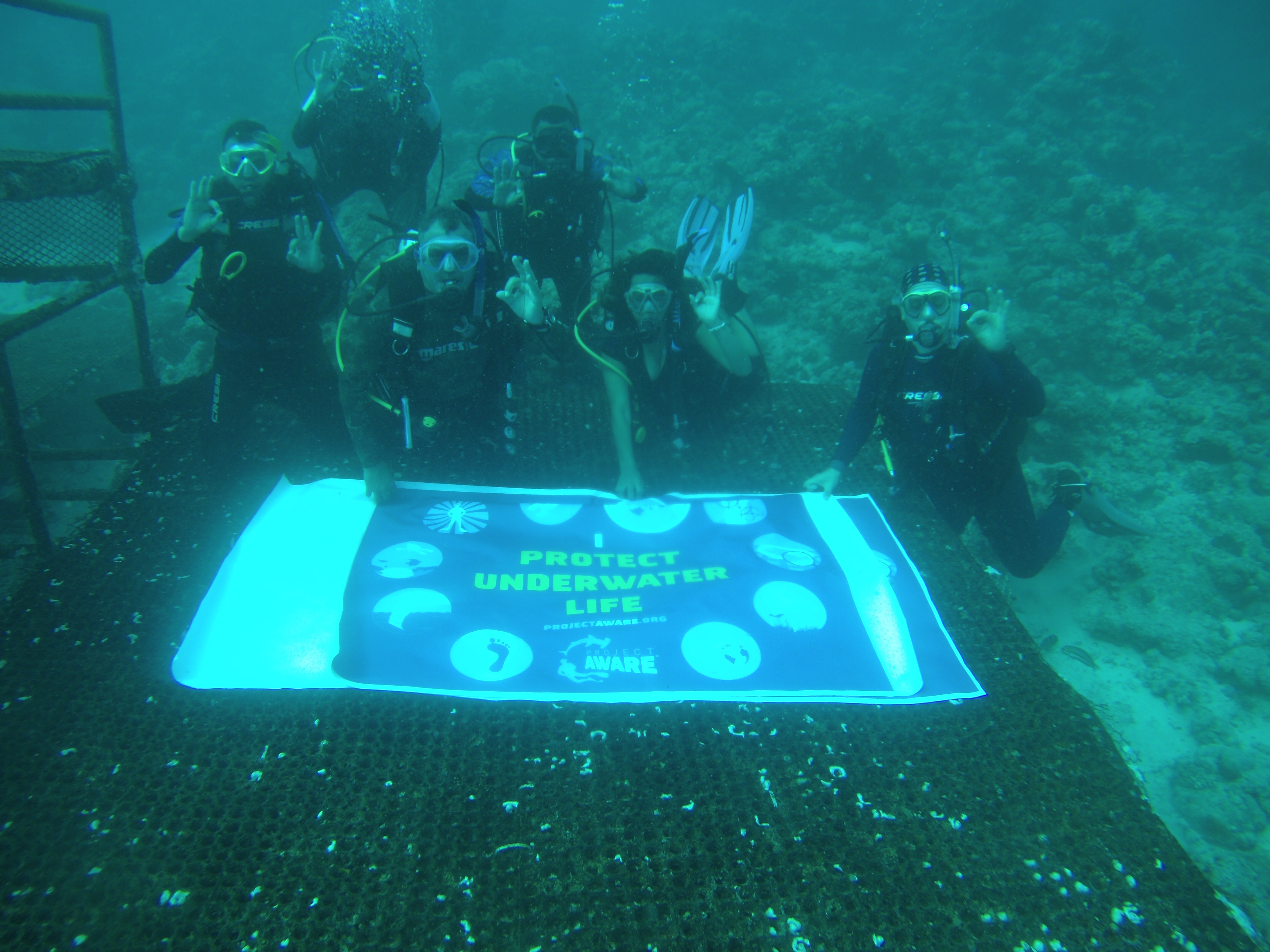
Sea Breacher UAE
Haytham Aboulhassan
3
0.00
51
12.30
3.10
estimated
1200.00
On
kilograms
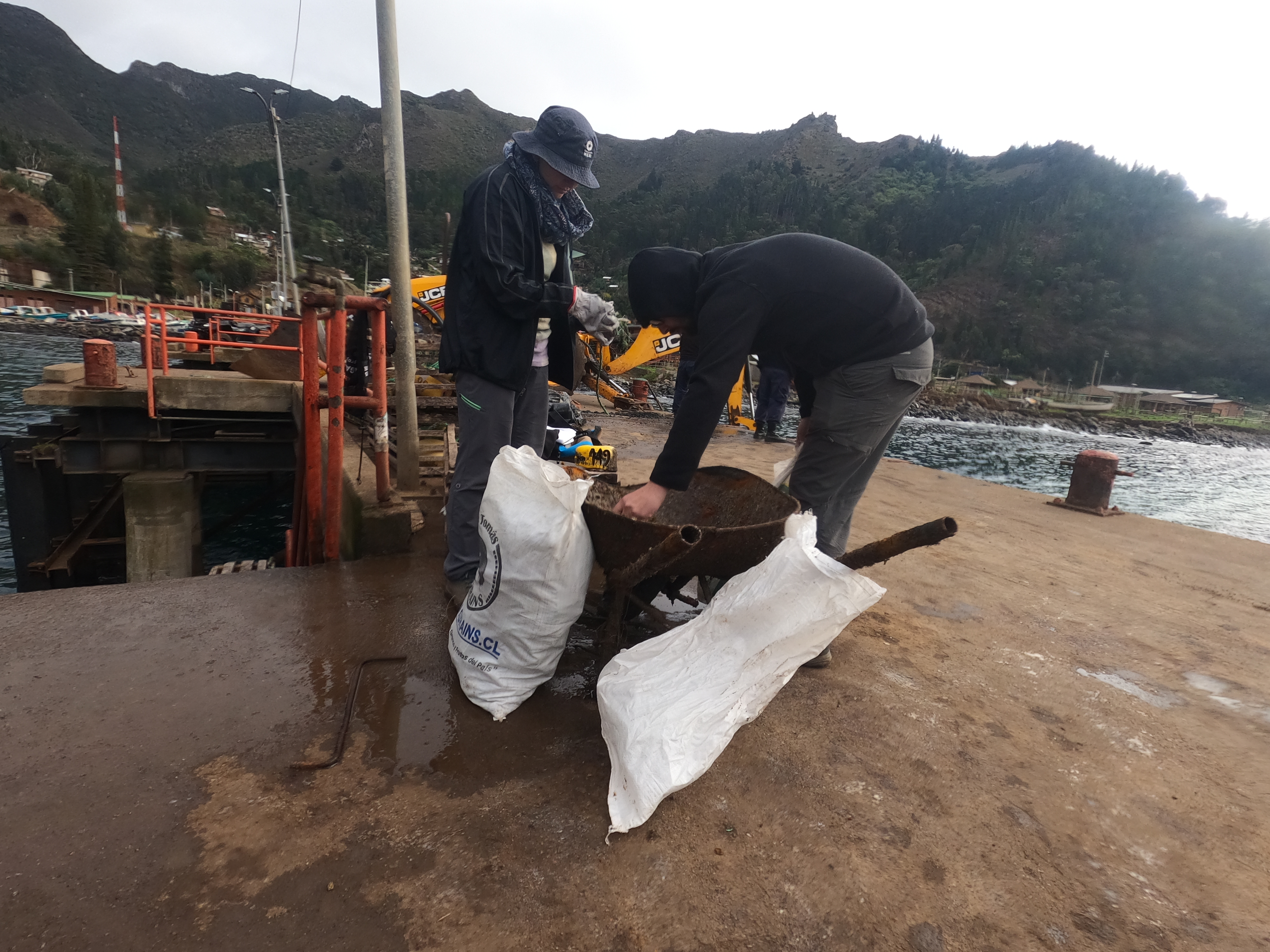
Our Survey Site was free of debris
Calm (glassy to rippled) for waves 0 – 0.1 meter high
m2
meters
rocky reef
State\Province
Fujairah
City
Dibba
Map Help
Dive Location
If you know your survey site coordinates, enter them manually in decimal degrees using WGS84 Map Datum. Use the minus sign for latitudes south of the equator and longitudes west of the Prime Meridian to 180 degrees.
If you do not know your survey site coordinates, click the “Map Location” tab to use the map to zoom into your survey site and drop the pin on the map to fall within your survey dive site in the water (not on land or the beach). Ensure you zoom in as much as possible to ensure data accuracy.
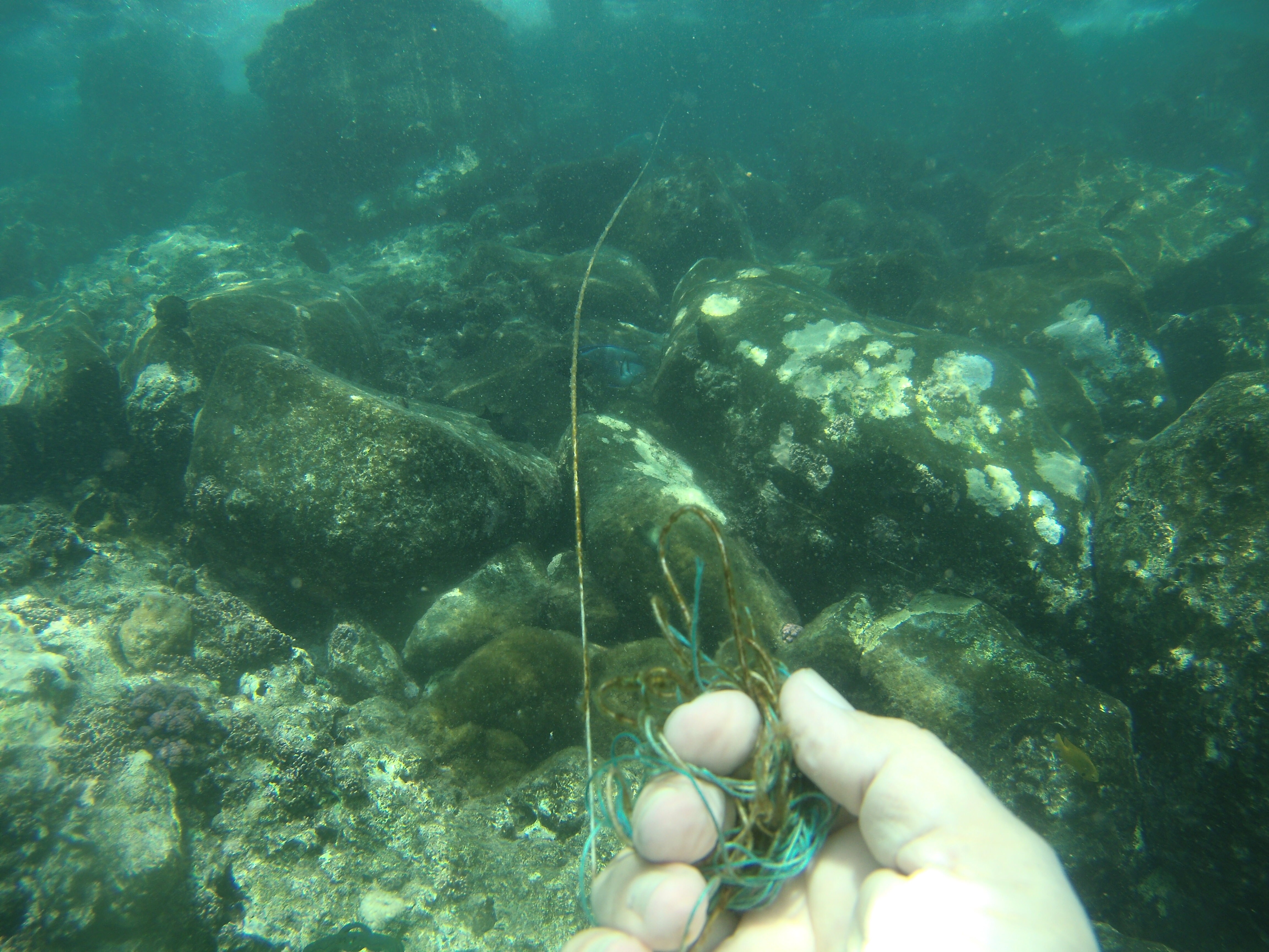
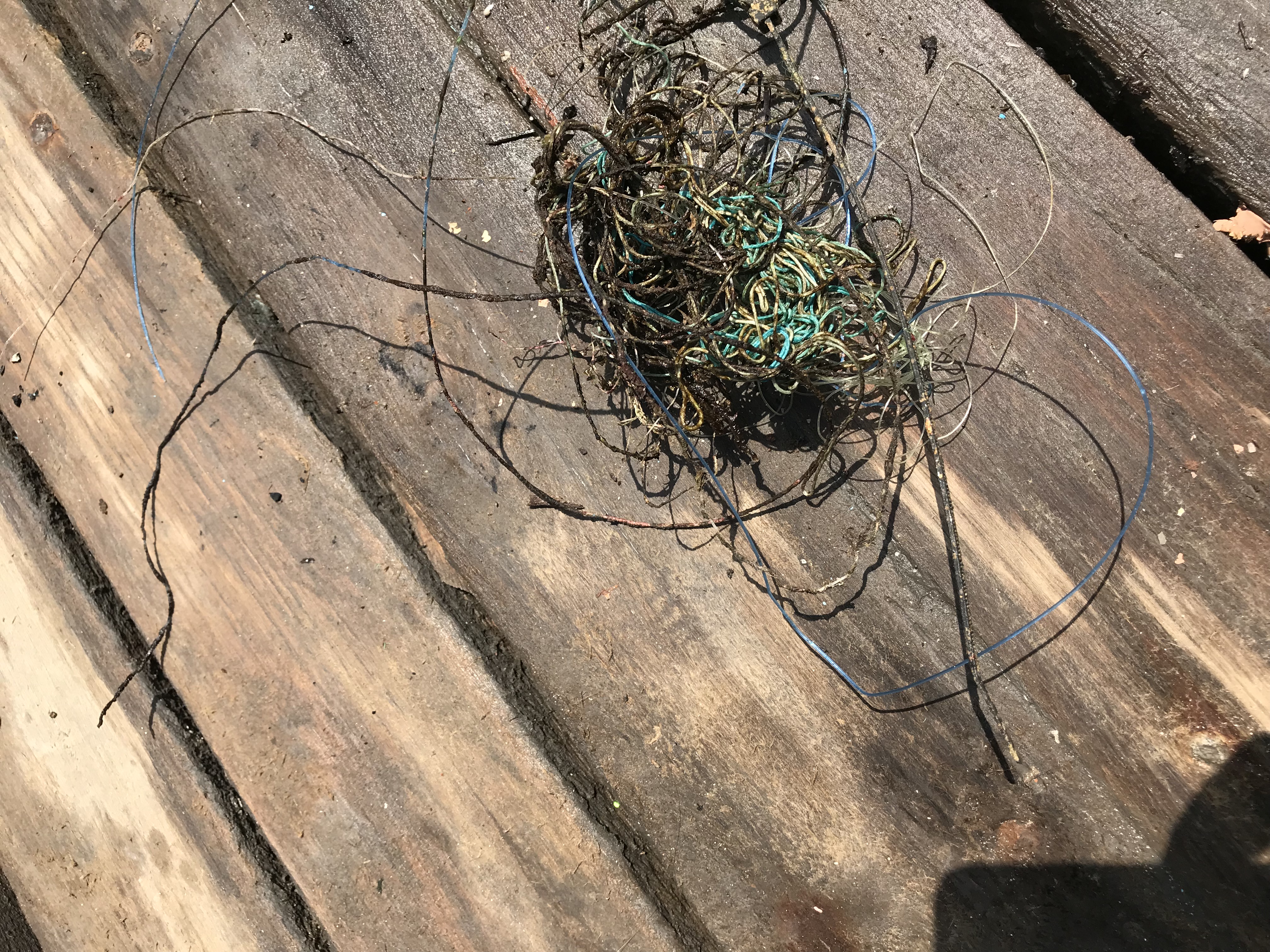
Entangled Help