Gold Coast Seaway
0
0
0
0
-27.936559281644, 153.42566135281
6
0
0
rock
0
0
0
60
0
Christmas/holiday period
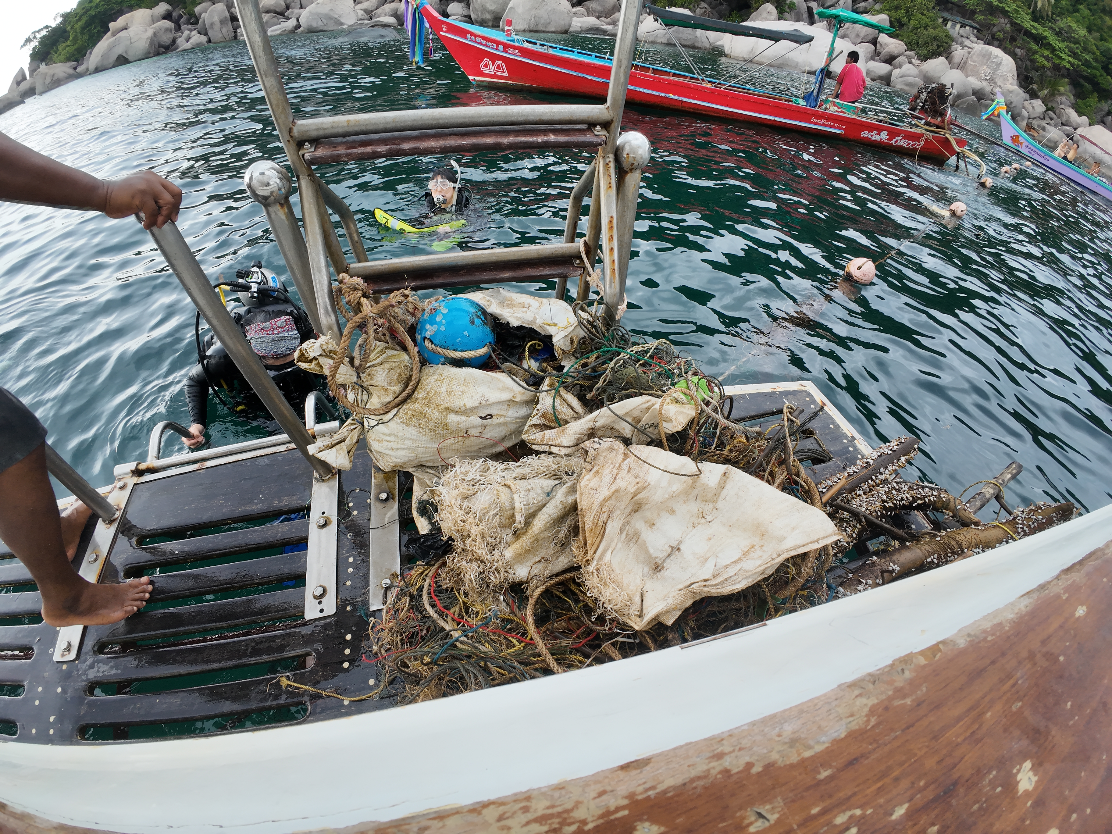
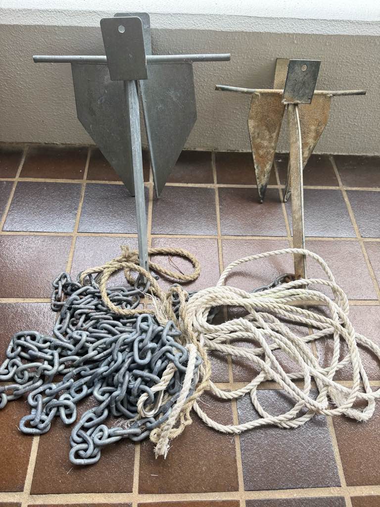
Boat anchors
Tangled around a rock
Fine
2
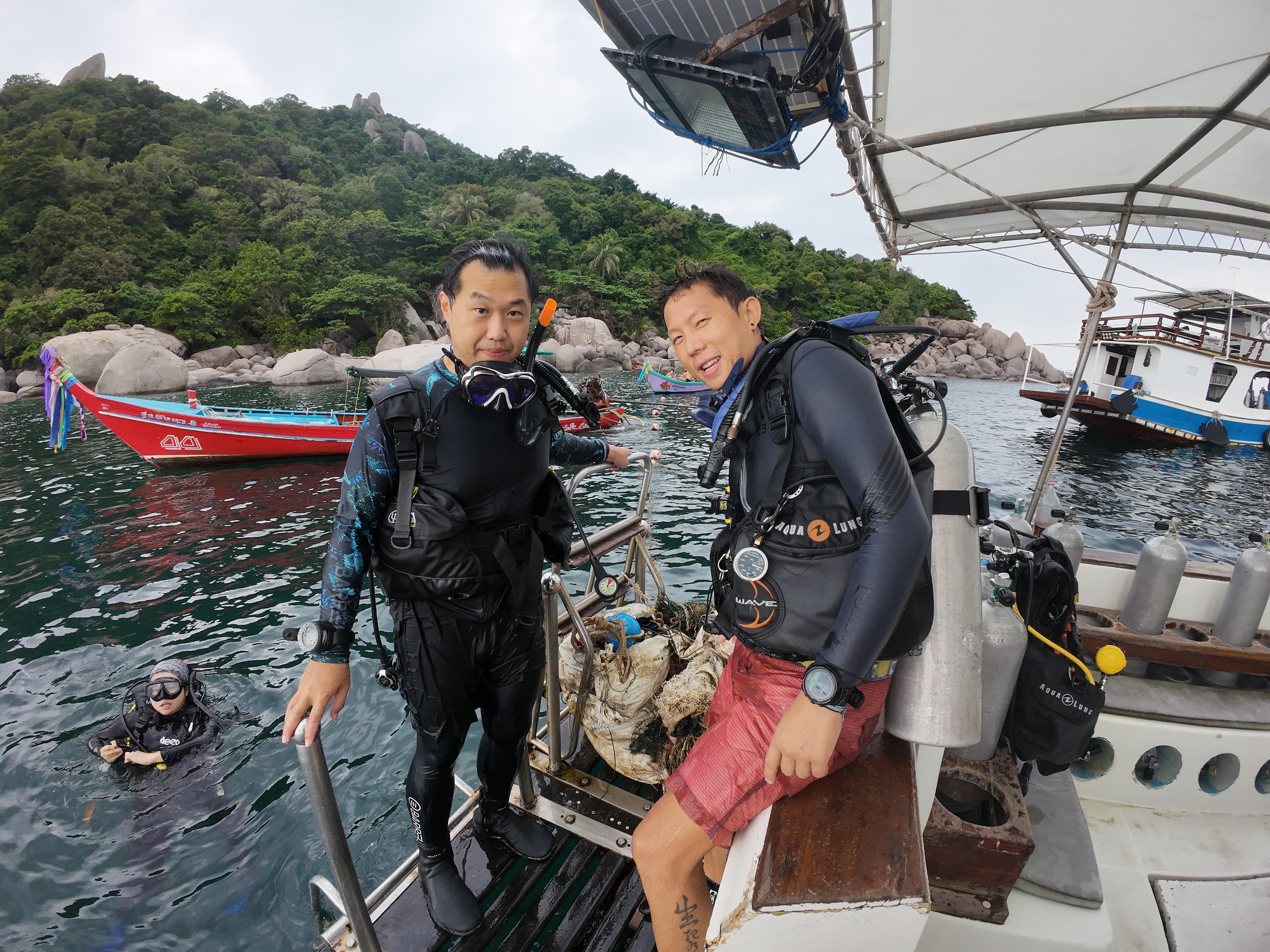
Boat Anchor and chain
iDive
David Bates
0
0
0
0
0
0
0
0
0
0
0
0
0
0
0
0
0
0
0
2
0
0
0
0
0
0
0
0
0
0
0
0
0
0
0
0
20.00
82
17.00
2.00
0
estimated
0
112
3319.77
0
0
0
0
0
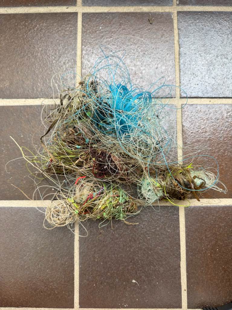
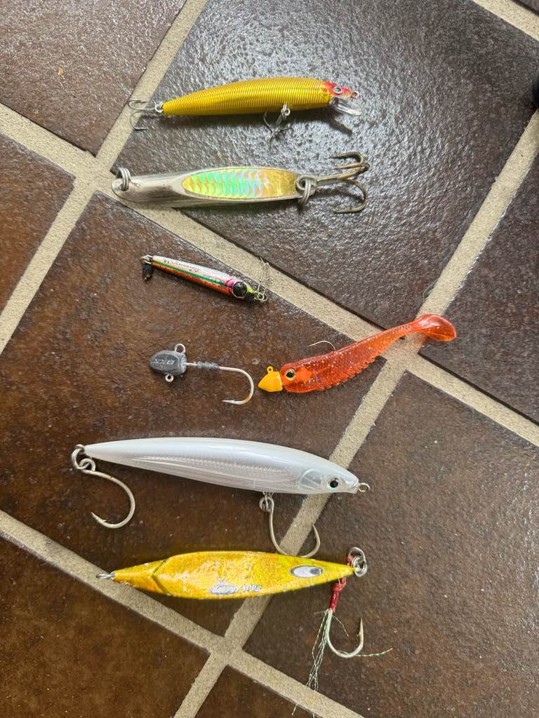
Fishing line
Hooks
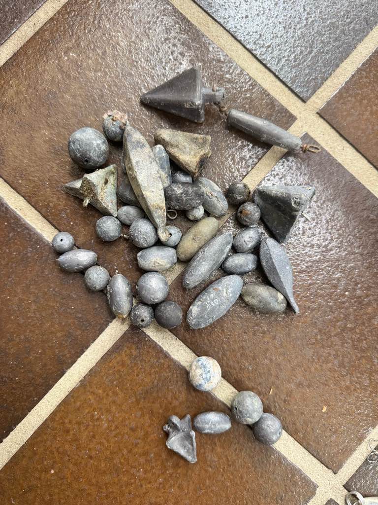
Sinkers
0
On
kilograms
0
I have debris data to report
0
0
0
Calm (glassy to rippled) for waves 0 – 0.1 meter high
0
0
0
Released Unharmed
Bream
1
Hook and fishing line
0
0
0
0
m2
0
0
meters
other
0
0
0
0
0
0
0
0
0
0
0
0
0
0
0
0
0
0
0
0
0
0
0
0
0
0
0
0
0
State\Province
QLD
City
Gold Coast
Map Help
Dive Location
If you know your survey site coordinates, enter them manually in decimal degrees using WGS84 Map Datum. Use the minus sign for latitudes south of the equator and longitudes west of the Prime Meridian to 180 degrees.
If you do not know your survey site coordinates, click the “Map Location” tab to use the map to zoom into your survey site and drop the pin on the map to fall within your survey dive site in the water (not on land or the beach). Ensure you zoom in as much as possible to ensure data accuracy.
Entangled Help
Use the vertical tabs below to record any entangled animals you found of each type.
Ecosystem Other
Other