Kontiki Marina, Lapu Lapu, Cebu, Philippines
sand
Philippines
10.281883988934, 123.99954371305
Ongoing use of area by tourist vessels.
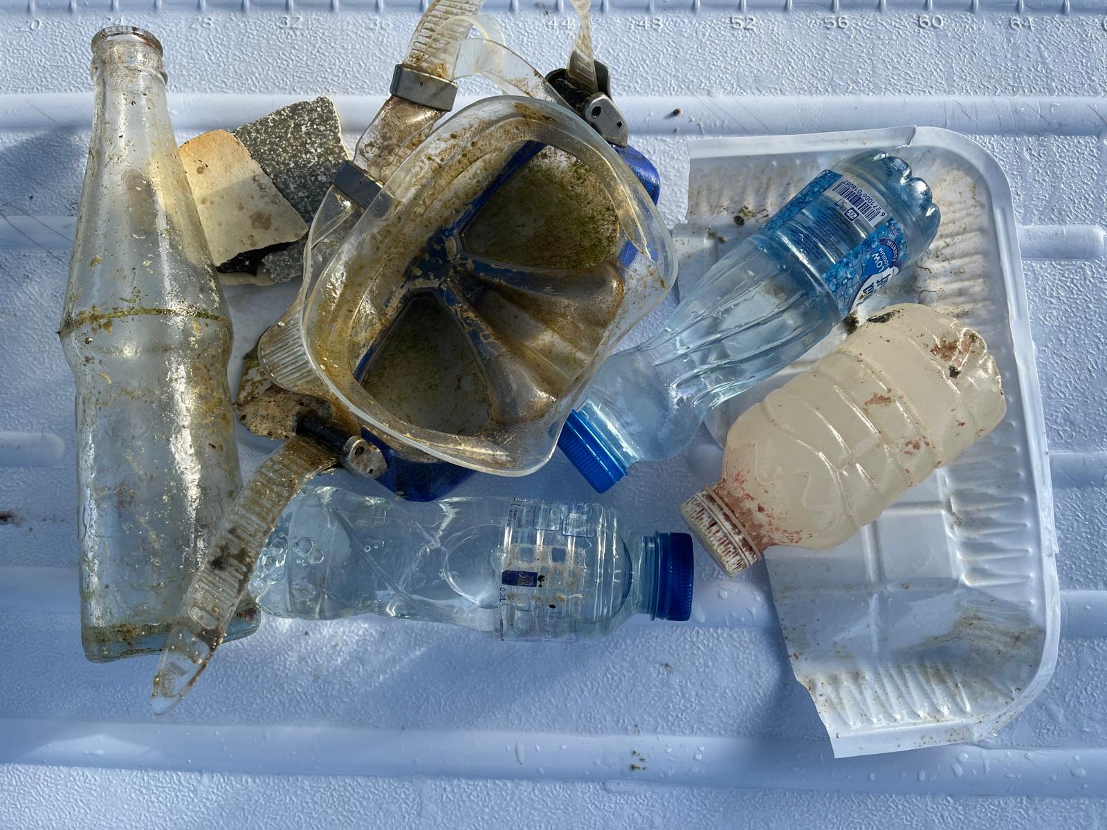
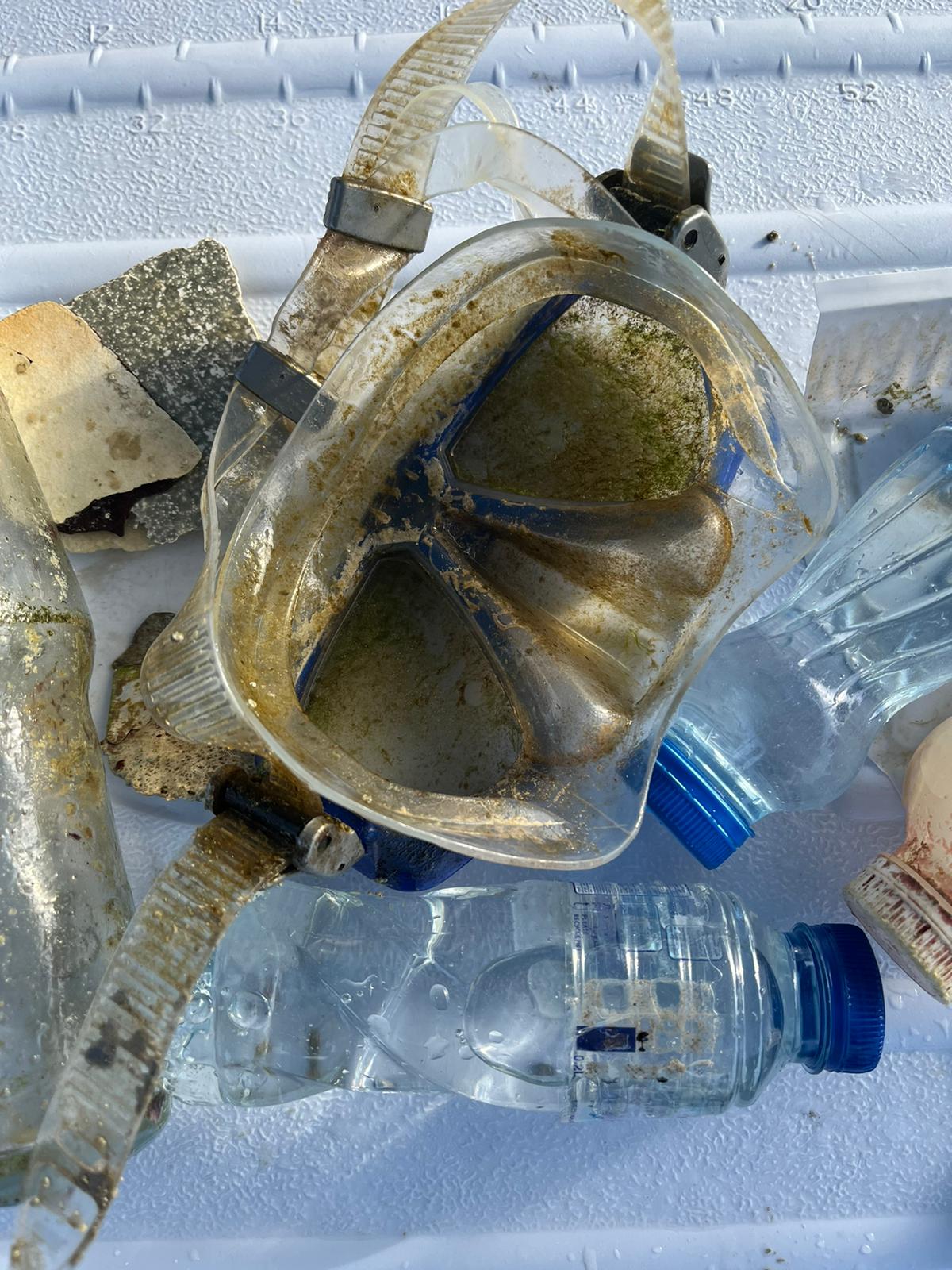
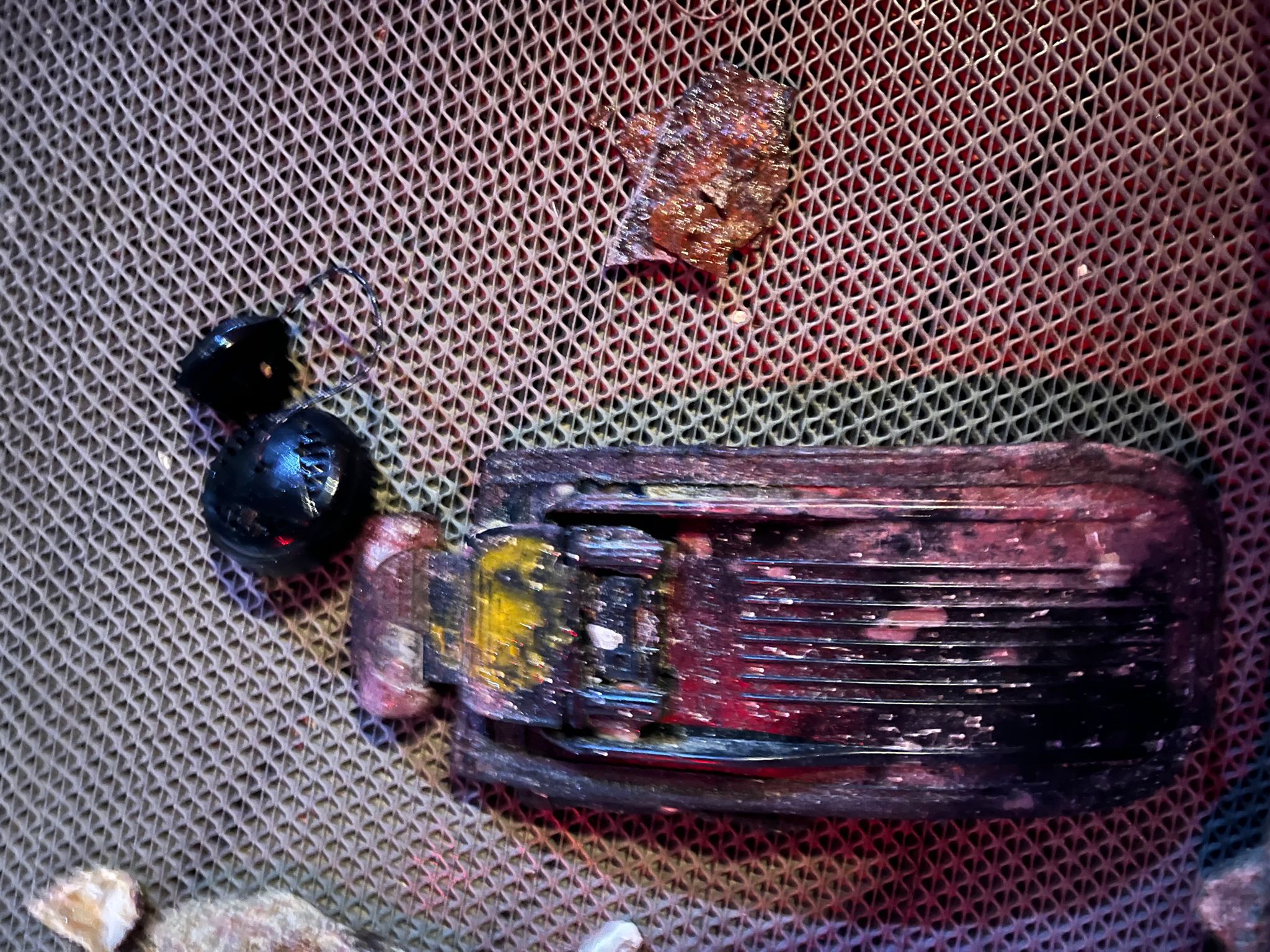
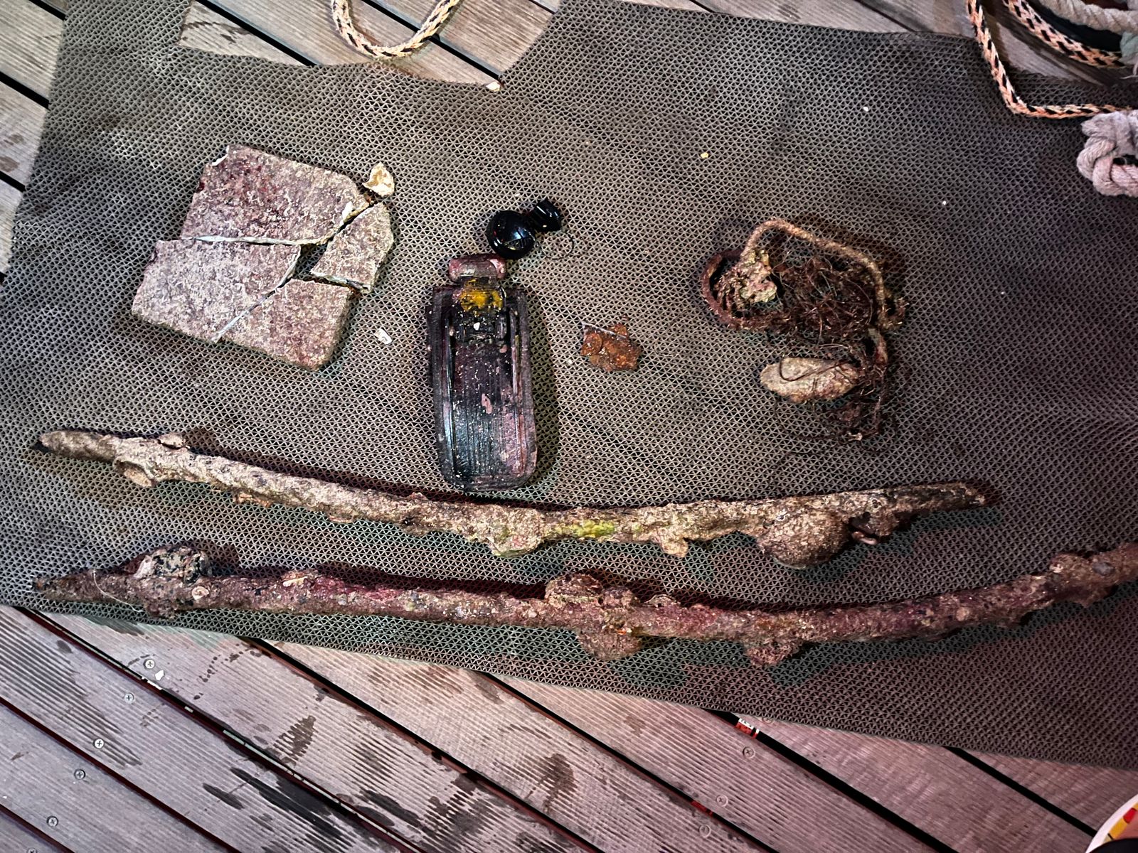
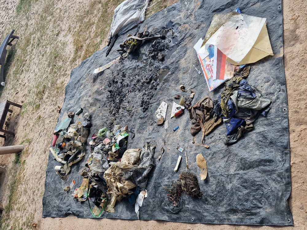
Part of an air conditioning unit.
Sunny in the morning. Heavy rain in the evening.
Big Monkey Training
Jan Salise
5
6
1
7.00
24
8.00
2.00
estimated
60.00
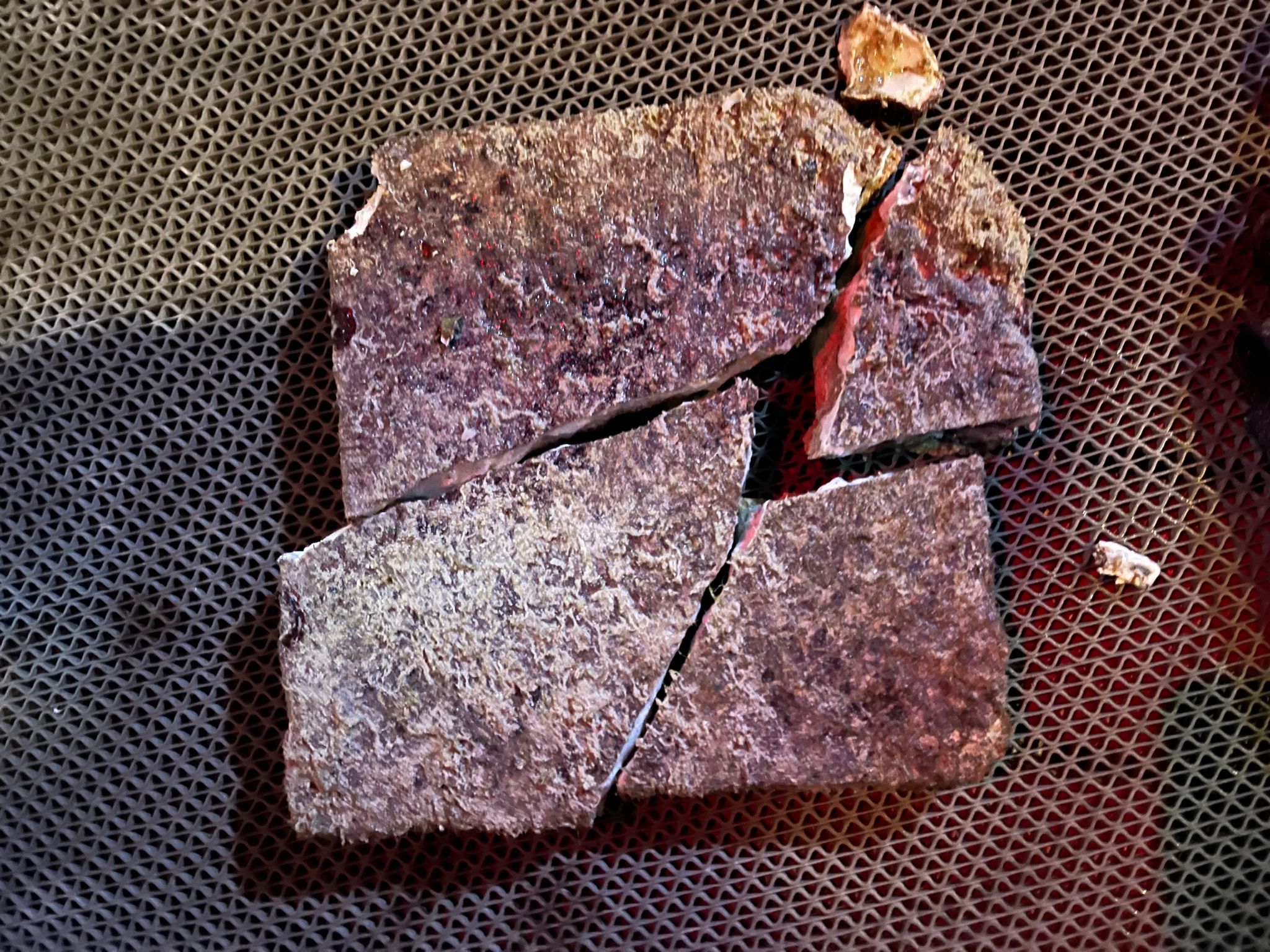
Broken glass bottles
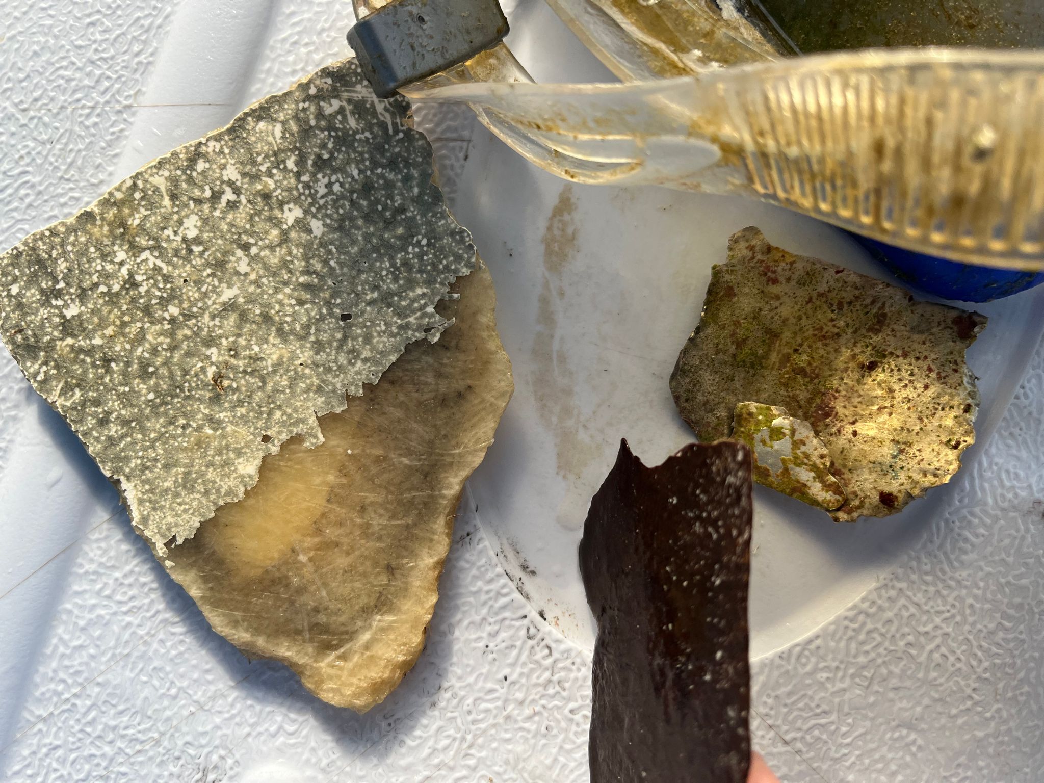
Wood fragments
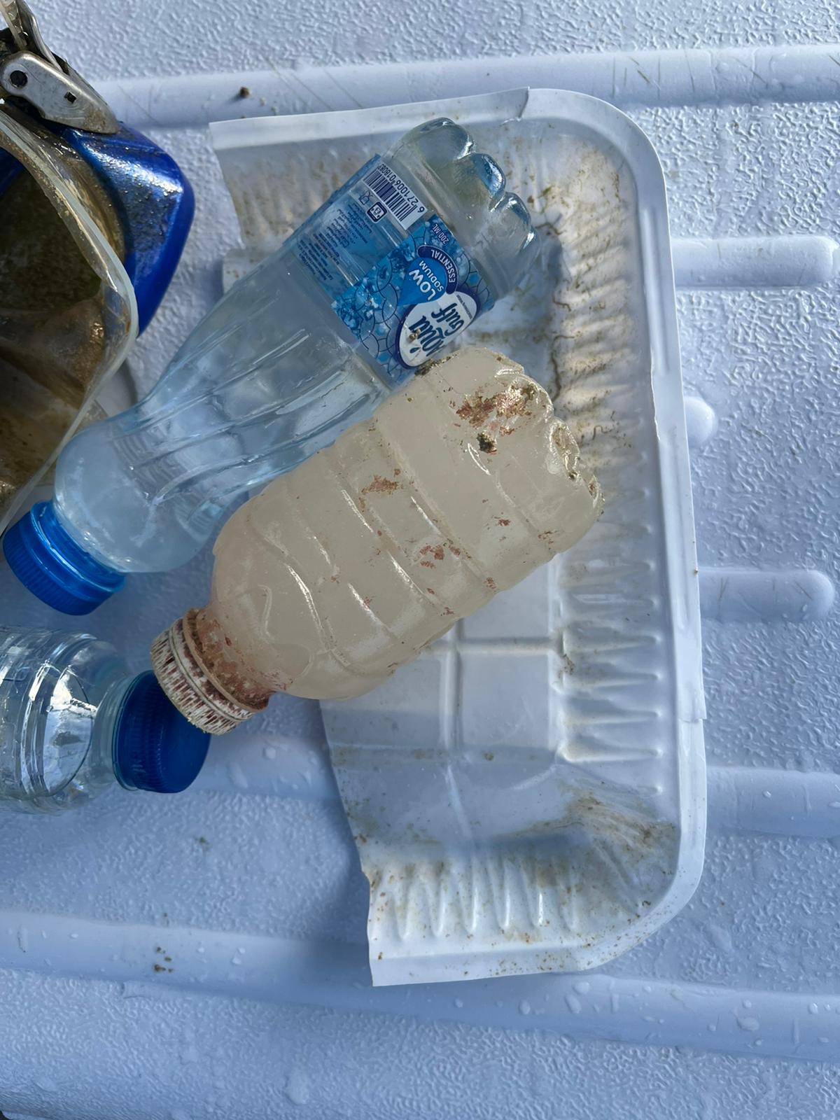
Plastic fragments
On
kilograms
I have debris data to report
Slight for waves 0.5 -1.25 meter high
4
m2
meters
rocky reef
9
7
State\Province
Cebu
City
Lapu Lapu
Map Help
Dive Location
If you know your survey site coordinates, enter them manually in decimal degrees using WGS84 Map Datum. Use the minus sign for latitudes south of the equator and longitudes west of the Prime Meridian to 180 degrees.
If you do not know your survey site coordinates, click the “Map Location” tab to use the map to zoom into your survey site and drop the pin on the map to fall within your survey dive site in the water (not on land or the beach). Ensure you zoom in as much as possible to ensure data accuracy.
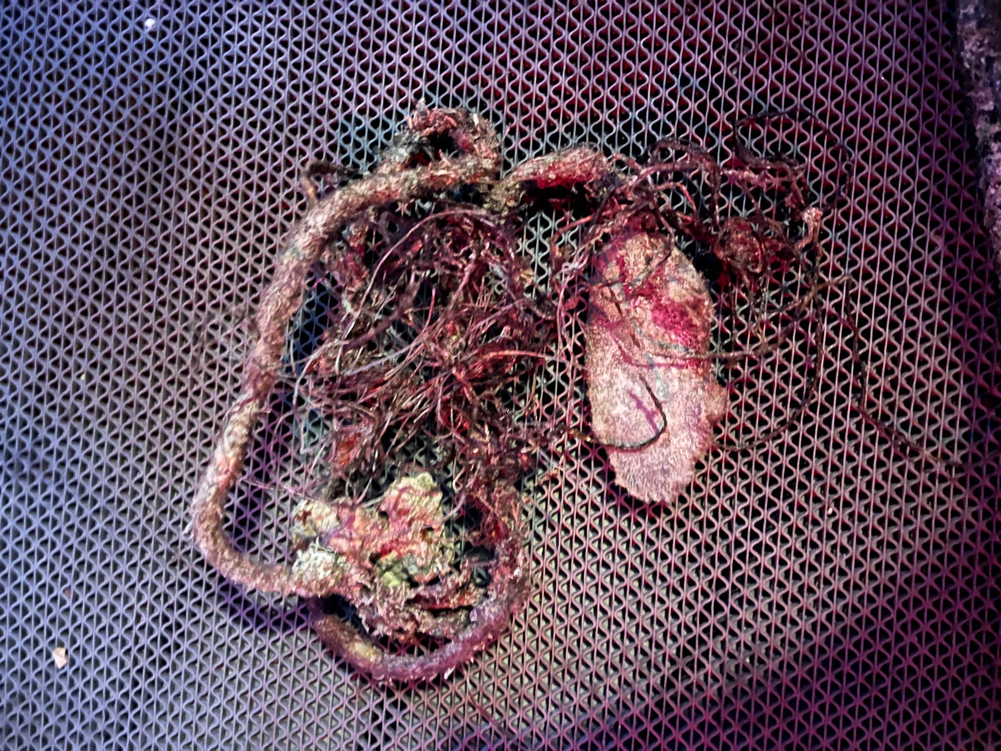
Entangled Help