
Dive Against Debris Data Submission
Rappahannock Quarry
26 September, 2022
- Team Leader
- Thomas Evans
- Number of Participants
- 2
- Total Debris Collected
- 1 lbs (estimated)
38.32541463642, -77.504068153783
Survey Information
- Location Name
- Rappahannock Quarry
- Organization/Dive Centre
- Country
- United States
- Date
- 26 September, 2022
- Survey Duration
- 37 Minutes
- GPS Coordinates
- Latitude: 38.32541463642
Longitude: -77.504068153783
- Weather Conditions
- Survey Depth Range
- 5–25 feet
- Area Surveyed
- 1000 ft2
- Dominant Substrate
- gravel
- Ecosystem
- Quarry
- Wave Conditions
- Calm (glassy to rippled) for waves 0 – 0.1 meter high
Survey Photos
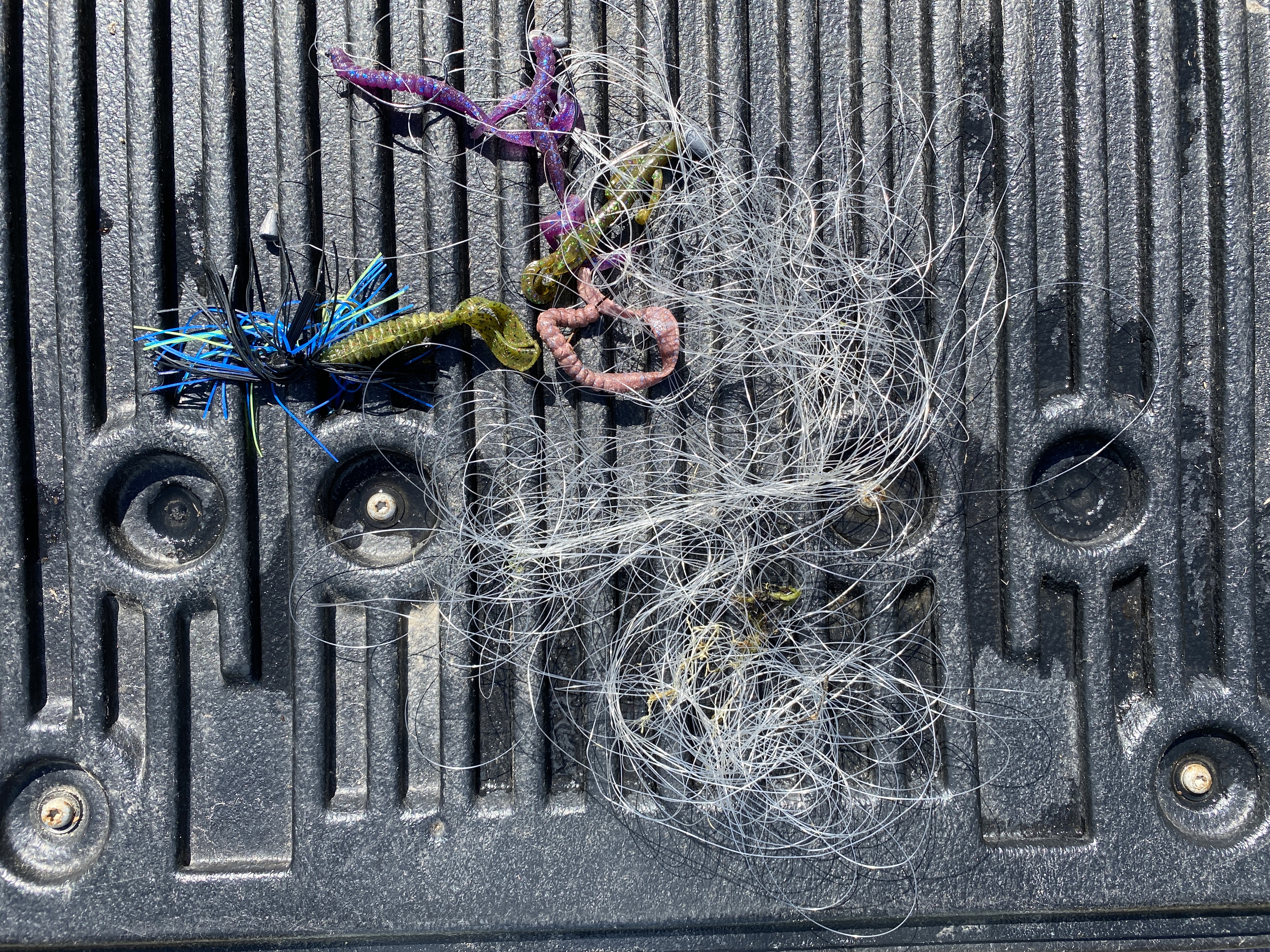
Debris Items Collected
| plastic materials collected | |
|---|---|
| Fishing: Line | 20 |
| Fishing: Lures, Rods/poles | 4 |


