
Dive Against Debris Data Submission
Bridge Rubble
2 June, 2021
- Team Leader
- Sea Base
- Number of Participants
- 9
- Total Debris Collected
- 51 lbs (measured)
24.73416667, -80.82668333
Survey Information
- Location Name
- Bridge Rubble
- Organization/Dive Centre
- Sea Base/FKNMS
- City
- Islamorada
- Country
- United States
- Date
- 2 June, 2021
- Survey Duration
- 45 Minutes
- GPS Coordinates
- Latitude: 24.73416667
Longitude: -80.82668333
- Weather Conditions
-
Windy
- Survey Depth Range
- 15–29 feet
- Area Surveyed
- 1500 ft2
- Dominant Substrate
- coral
- Ecosystem
- coral reef
- Wave Conditions
- Slight for waves 0.5 -1.25 meter high
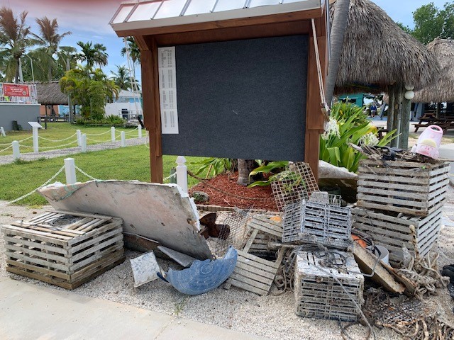
Survey Photos
Debris Items Collected
| plastic materials collected | |
|---|---|
| Fishing: Line | 1 |
| wood materials collected | |
|---|---|
| Fishing: Traps & Pots | 1 |


