Dive Against Debris Data Submission
Neptune’s Finger
26 June, 2020
- Team Leader
- Jay Clue
- Number of Participants
- 4
- Total Debris Collected
- 1 kgs (estimated)
22.877562999984, -109.8948465
Survey Information
- Location Name
- Neptune’s Finger
- Organization/Dive Centre
- Saving Los Cabos & Dive Ninja Expeditions
- City
- Cabo San Lucas
- Country
- Mexico
- Date
- 26 June, 2020
- Survey Duration
- 48 Minutes
- GPS Coordinates
- Latitude: 22.877562999984
Longitude: -109.8948465
- Weather Conditions
-
Calm
- Survey Depth Range
- 5–18 meters
- Area Surveyed
- 2225.46 m2
- Dominant Substrate
- sand
- Ecosystem
- rocky reef
- Wave Conditions
- Calm (glassy to rippled) for waves 0 – 0.1 meter high
Survey Photos
Debris Items Collected
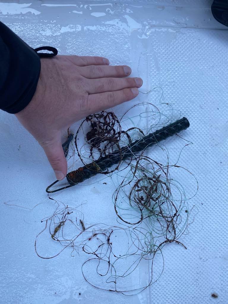
| plastic materials collected | |
|---|---|
| Fishing: Line | 10 |
| metal materials collected | |
|---|---|
| Pipes & Rebar | 1 |
| Fishing: Sinkers, Lures, Hooks | 4 |
Additional Information
COVID Quarantine - there has been a lot of illegal fishing in the marine park due to the lack of surveillance / enforcement because of the quarantine
Rebar
Fishing line
Fishing hooks
Comments and Feedback
Thanks to the team at Saving Los Cabos for the great help


