
Dive Against Debris Data Submission
ADS10 - Ørneset
6 February, 2021
- Team Leader
- Fredric Ihrsen
- Number of Participants
- 2
- Total Debris Collected
- 9.4 kgs (measured)
67.225682, 14.616451
Survey Information
- Location Name
- ADS10 - Ørneset
- Organization/Dive Centre
- NORD&NE
- Country
- Norway
- Date
- 6 February, 2021
- Survey Duration
- 47 Minutes
- GPS Coordinates
- Latitude: 67.225682
Longitude: 14.616451
- Weather Conditions
-
-2 degree C and no wind
- Survey Depth Range
- 1–33 meters
- Area Surveyed
- 1000 m2
- Dominant Substrate
- rock
- Ecosystem
- kelp
- Wave Conditions
- Smooth (wavelets) for waves 0.1 - 0.5 meter high
Survey Photos
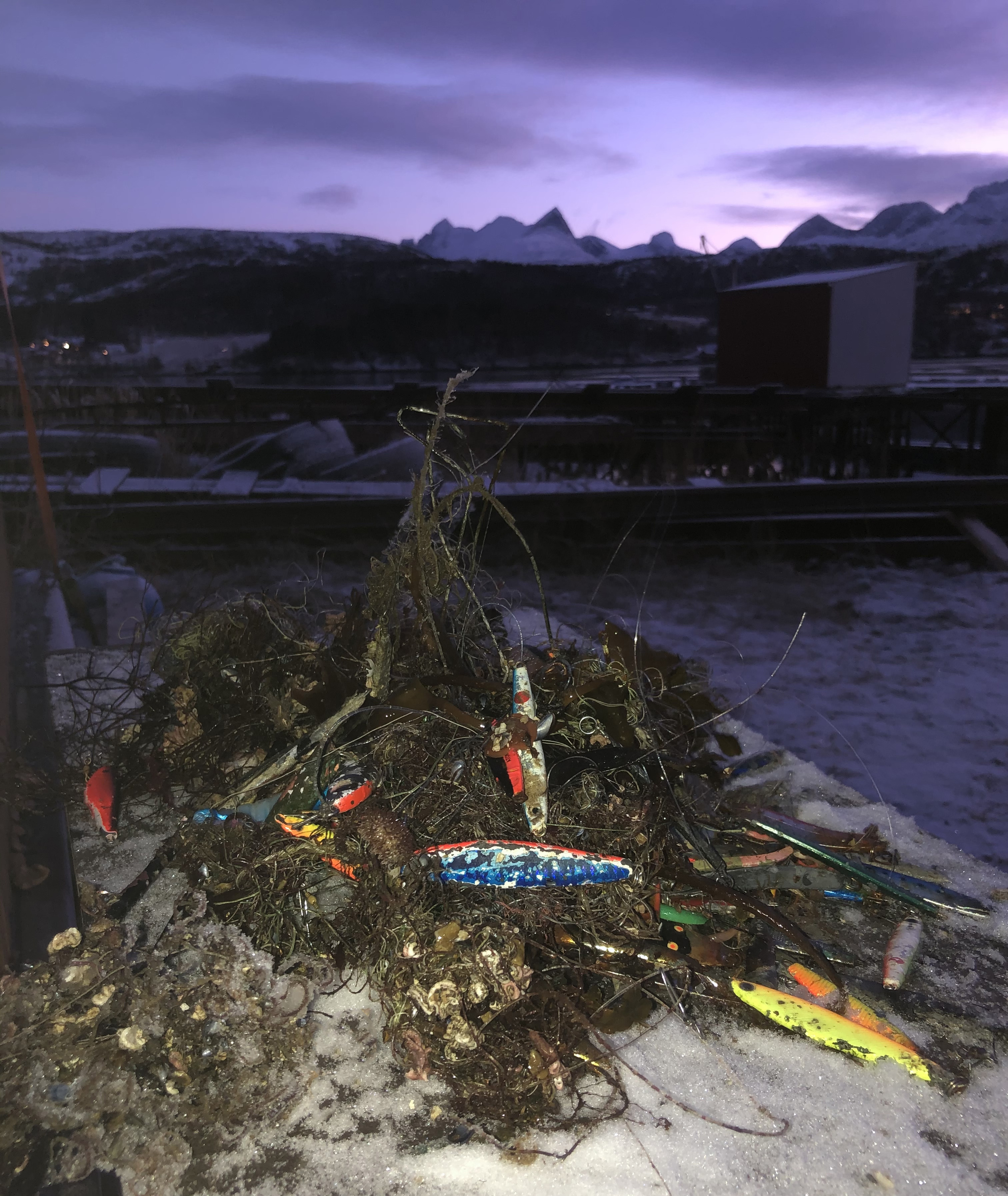
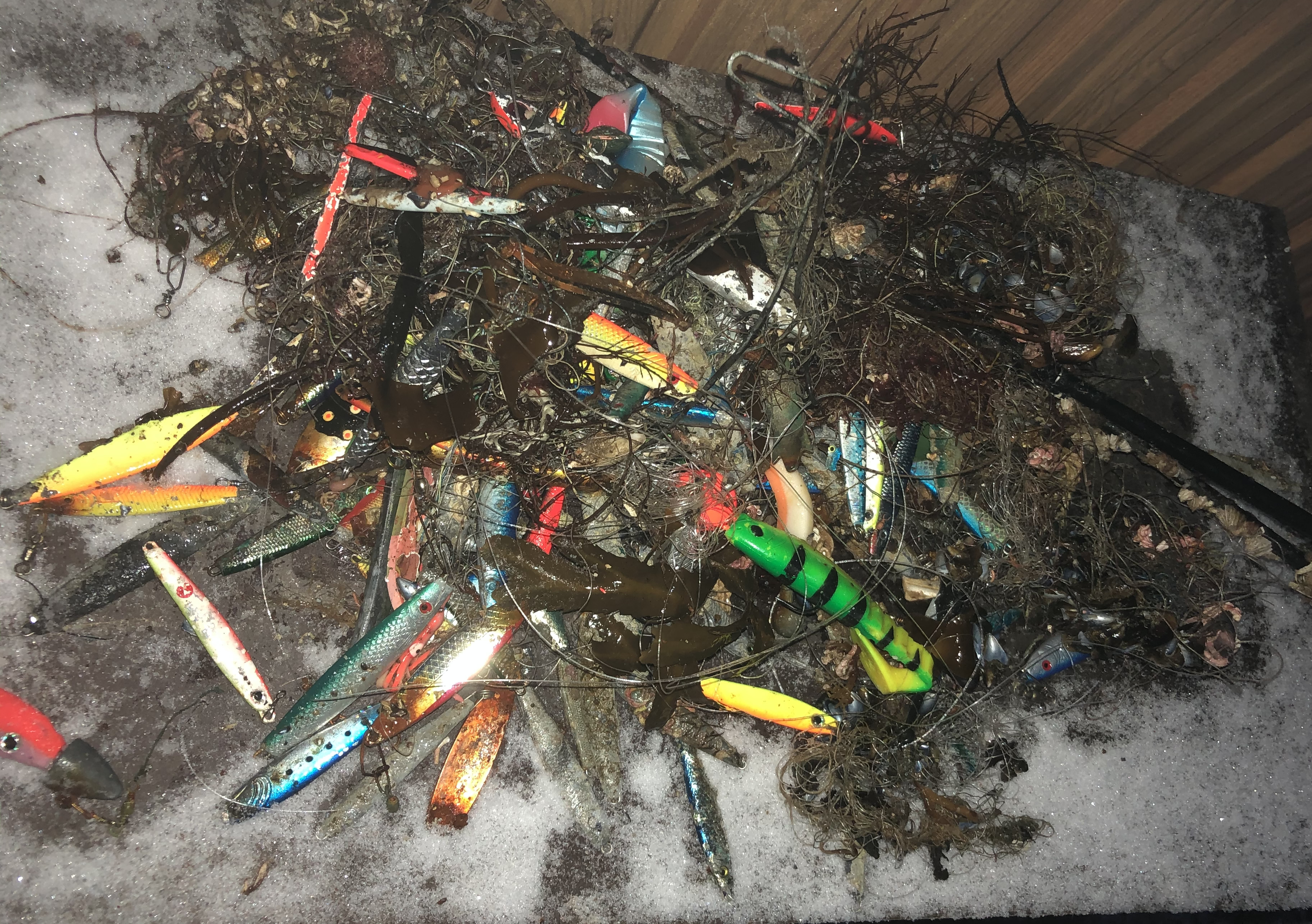
Debris Items Collected
| plastic materials collected | |
|---|---|
| Fishing: Line | 60 |
| Fishing: Lures, Rods/poles | 15 |
| metal materials collected | |
|---|---|
| Fishing: Sinkers, Lures, Hooks | 88 |
| other materials collected | |
|---|---|
| fishing rod piece | 2 |
| Entangled Animals | |
|---|---|
| Other Fish | |
| Species or Common Name | Cod |
| Number Entangled | 1 |
| Status | dead |
| Type of Debris | Fishing line |
| Comments | Cod |


