
Dive Against Debris Data Submission
Cape Bira
4 January, 2020
- Team Leader
- Elliott
- Number of Participants
- 7
- Total Debris Collected
- 16 kgs (measured)
-5.6418106941013, 120.47407297535
Survey Information
- Location Name
- Cape Bira
- Organization/Dive Centre
- Indo Ocean Project Bira
- City
- Makassar
- Country
- Indonesia
- Date
- 4 January, 2020
- Survey Duration
- 50 Minutes
- GPS Coordinates
- Latitude: -5.6418106941013
Longitude: 120.47407297535
- Weather Conditions
-
Cloudy
- Survey Depth Range
- 15–23 meters
- Area Surveyed
- 219.372 m2
- Dominant Substrate
- rock
- Ecosystem
- rocky reef
- Wave Conditions
- Smooth (wavelets) for waves 0.1 - 0.5 meter high
Survey Photos
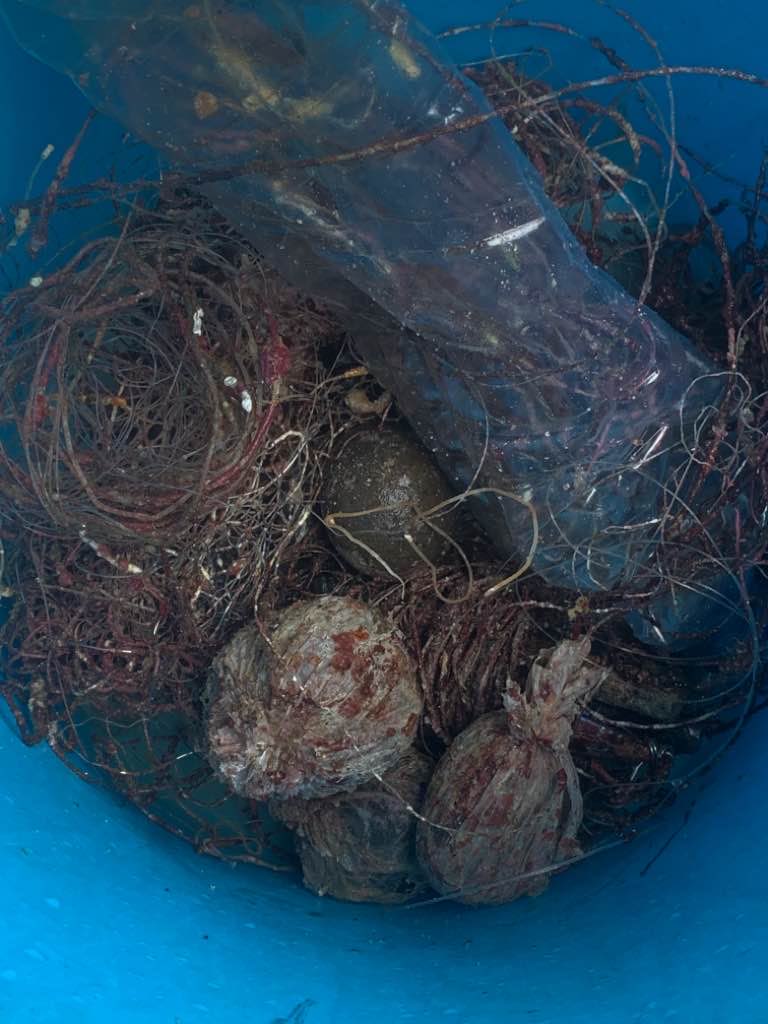
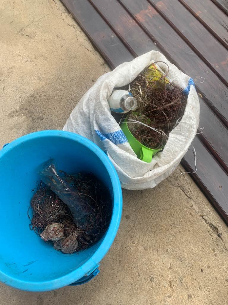

Debris Items Collected
| plastic materials collected | |
|---|---|
| Buckets, Drums & Jerrycans-2 Liters Or More | 1 |
| Fishing: Line | 148 |
| Fishing: Lures, Rods/poles | 27 |
| Food Wrappers (plastic) | 6 |
| Rope (plastic/nylon) | 6 |
| other materials collected | |
|---|---|
| Fishing Lead | 44 |
Additional Information
Yes
Screws and Bolts as fishing weights
Fishing Line
Fishing Hooks
Lead Weights
Comments and Feedback
We are going to do this weekly!


