
Dive Against Debris Data Submission
Ravenspoint
4 May, 2019
- Team Leader
- Robert Hassall
- Number of Participants
- 2
- Total Debris Collected
- 0.25 kgs (estimated)
53.271846, -4.621732
Survey Information
- Location Name
- Ravenspoint
- Organization/Dive Centre
- City
- Trearddur Bay
- Country
- United Kingdom
- Date
- 4 May, 2019
- Survey Duration
- 40 Minutes
- GPS Coordinates
- Latitude: 53.271846
Longitude: -4.621732
- Weather Conditions
- Survey Depth Range
- 1.2–7.4 meters
- Area Surveyed
- 1149.95 m2
- Dominant Substrate
- sand
- Ecosystem
- rocky reef
- Wave Conditions
- Calm (glassy to rippled) for waves 0 – 0.1 meter high
Survey Photos
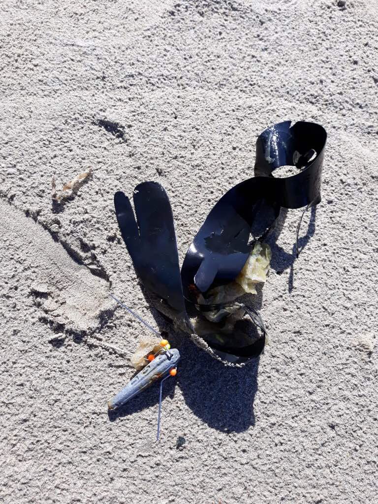
Debris Items Collected
| metal materials collected | |
|---|---|
| Fishing: Sinkers, Lures, Hooks | 1 |
| rubber materials collected | |
|---|---|
| Rubber Bands | 1 |
Additional Information
No


