
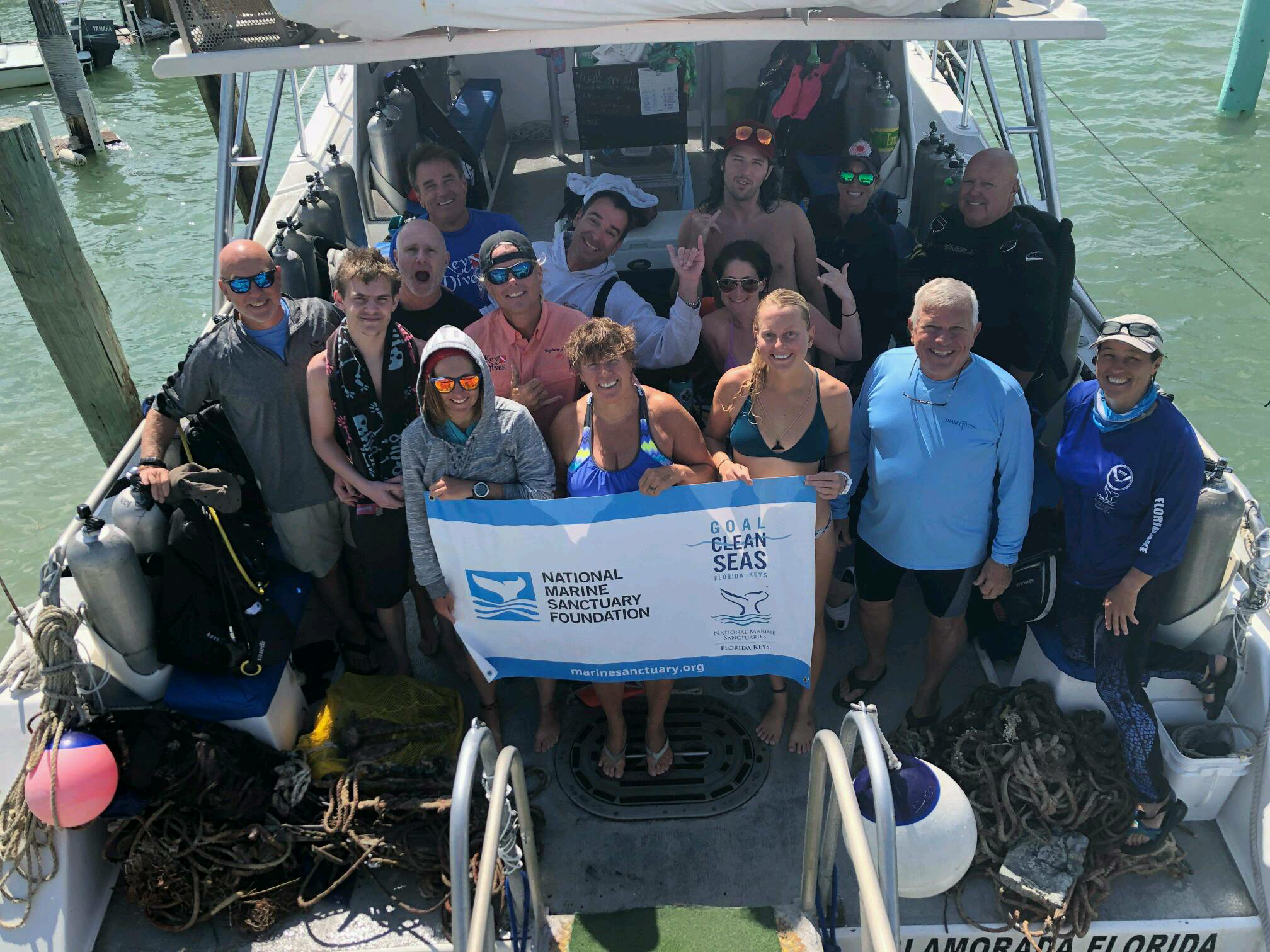
Dive Against Debris Data Submission
Captain Foolish
24 March, 2019
- Team Leader
- Cortney Benson
- Number of Participants
- 16
- Total Debris Collected
- 85 lbs (measured)
24.50384, -80.37612
Survey Information
- Location Name
- Captain Foolish
- Organization/Dive Centre
- Key Dives/FKNMS
- City
- Islamorada
- Country
- United States
- Date
- 24 March, 2019
- Survey Duration
- 35 Minutes
- GPS Coordinates
- Latitude: 24.50384
Longitude: -80.37612
- Weather Conditions
-
Windy
- Survey Depth Range
- 45–90 feet
- Area Surveyed
- 75 m2
- Dominant Substrate
- coral
- Ecosystem
- coral reef
- Wave Conditions
- Slight for waves 0.5 -1.25 meter high
Survey Photos
Debris Items Collected
| plastic materials collected | |
|---|---|
| Fishing: Line | 24 |
| metal materials collected | |
|---|---|
| Fishing: Sinkers, Lures, Hooks | 23 |
| cloth materials collected | |
|---|---|
| Rope And String (cloth) | 35 |
| mixed materials collected | |
|---|---|
| Bricks, Cinderblocks & Chunks Of Cement | 1 |
| other materials collected | |
|---|---|
| Anchor | 1 |
Additional Information
Ongoing commercial and recreational fishing
Lobster trap line
Monofilament
Anchors


