
Dive Against Debris Data Submission
Captain Foolish
10 March, 2019
- Team Leader
- Cortney Benson
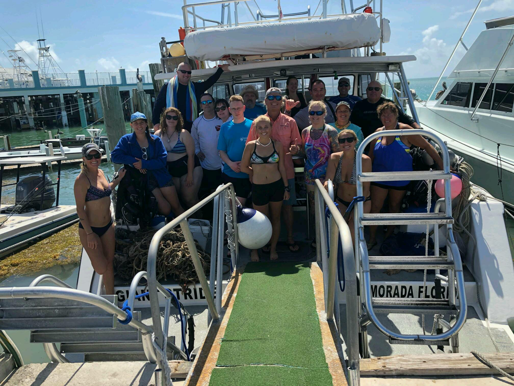
- Number of Participants
- 19
- Total Debris Collected
- 87 lbs (measured)
24.50384, -80.37612
Survey Information
- Location Name
- Captain Foolish
- Organization/Dive Centre
- Key Dives/FKNMS
- City
- Islamorada
- Country
- United States
- Date
- 10 March, 2019
- Survey Duration
- 30 Minutes
- GPS Coordinates
- Latitude: 24.50384
Longitude: -80.37612
- Weather Conditions
-
Windy
- Survey Depth Range
- 45–90 feet
- Area Surveyed
- 100 m2
- Dominant Substrate
- coral
- Ecosystem
- coral reef
- Wave Conditions
- Moderate to rough for waves greater than 1.25 meters
Survey Photos
Debris Items Collected
| plastic materials collected | |
|---|---|
| Fishing: Line | 11 |
| metal materials collected | |
|---|---|
| Fishing: Traps & Pots | 3 |
| Fishing: Sinkers, Lures, Hooks | 7 |
| wood materials collected | |
|---|---|
| Wood Fragments | 7 |
| cloth materials collected | |
|---|---|
| Rope And String (cloth) | 23 |
| other materials collected | |
|---|---|
| Anchor and chain | 5 |
Additional Information
Hurricane Irma as well as ongoing commercial and recreational fishing
Anchors
Rope
Crab and lobster traps


