
Dive Against Debris Data Submission
Captain Foolish
24 February, 2019
- Team Leader
- Cortney Benson
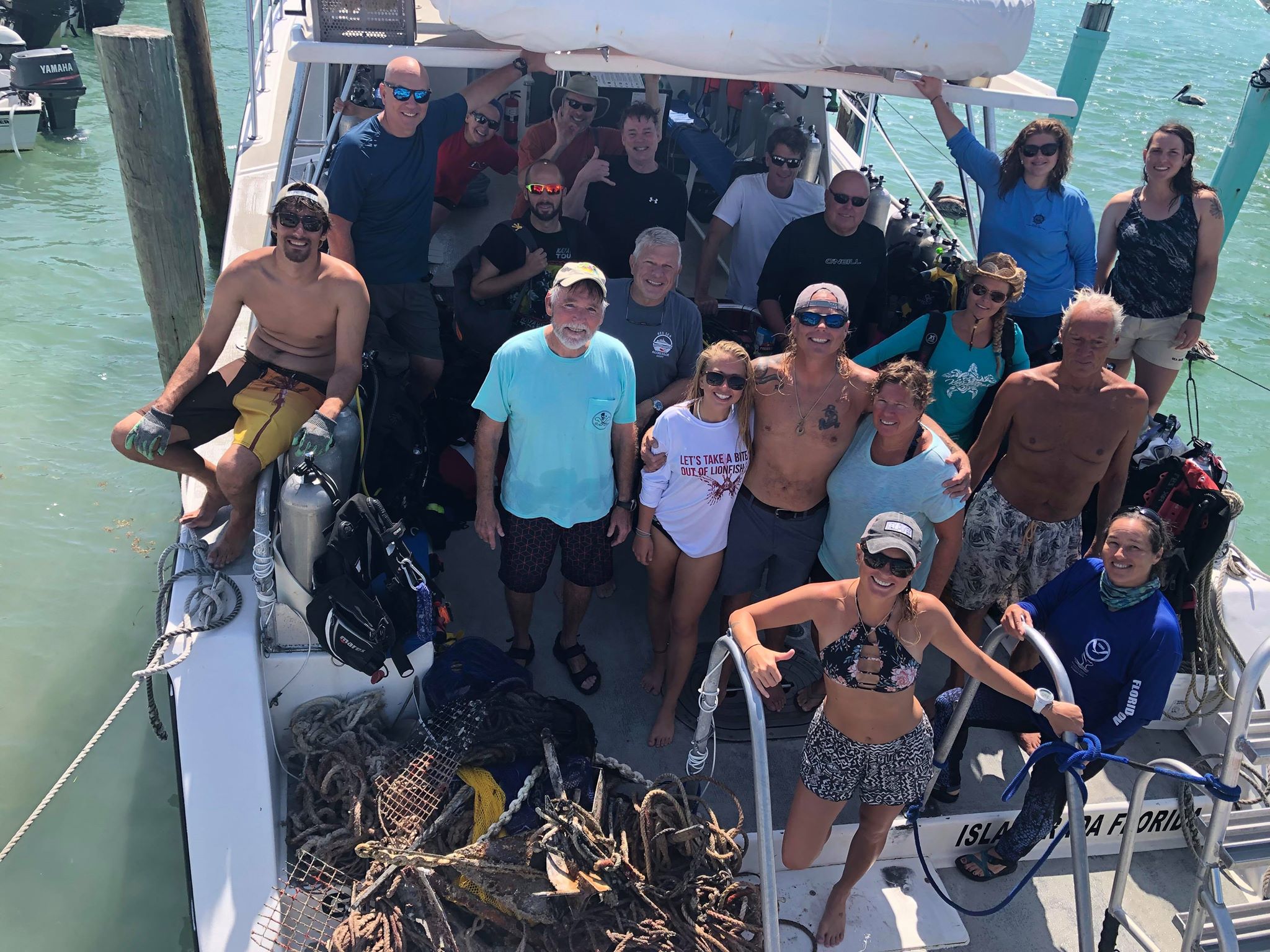
- Number of Participants
- 18
- Total Debris Collected
- 435 lbs (measured)
24.50384, -80.37612
Survey Information
- Location Name
- Captain Foolish
- Organization/Dive Centre
- Key Dives/ FKNMS
- City
- Islamorada
- Country
- United States
- Date
- 24 February, 2019
- Survey Duration
- 80 Minutes
- GPS Coordinates
- Latitude: 24.50384
Longitude: -80.37612
- Weather Conditions
-
Windy
- Survey Depth Range
- 45–85 feet
- Area Surveyed
- 100 m2
- Dominant Substrate
- coral
- Ecosystem
- coral reef
- Wave Conditions
- Smooth (wavelets) for waves 0.1 - 0.5 meter high
Survey Photos
Debris Items Collected
| plastic materials collected | |
|---|---|
| Bags-grocery/retail (plastic) | 2 |
| glass materials collected | |
|---|---|
| Beverage Bottles (glass) | 1 |
| metal materials collected | |
|---|---|
| Beverage Cans (aluminium) | 4 |
| Fishing: Sinkers, Lures, Hooks | 7 |
| cloth materials collected | |
|---|---|
| Bags (cloth) | 1 |
| Rope And String (cloth) | 60 |
| other materials collected | |
|---|---|
| Anchor | 14 |
| plastic lobster trap entrance | 1 |
| plastic port hole | 1 |
| anchor chains | 9 |
Additional Information
Hurricane Irma, commercial and recreational fishing
plastic port hole
anchors
rope
monofilament


