
Dive Against Debris Data Submission
La Madrona (Arce)
4 January, 2019
- Team Leader
- Jose Baires
- Number of Participants
- 3
- Total Debris Collected
- 0.93 kgs (measured)
13.5134, -89.869783
Survey Information
- Location Name
- La Madrona (Arce)
- Organization/Dive Centre
- Asociación Océano
- City
- Los Cobanos MPA
- Country
- El Salvador
- Date
- 4 January, 2019
- Survey Duration
- 30 Minutes
- GPS Coordinates
- Latitude: 13.5134
Longitude: -89.869783
- Weather Conditions
-
Moderate
- Survey Depth Range
- 35–37 meters
- Area Surveyed
- 20 m2
- Dominant Substrate
- other
- Ecosystem
- other
- Wave Conditions
- Slight for waves 0.5 -1.25 meter high
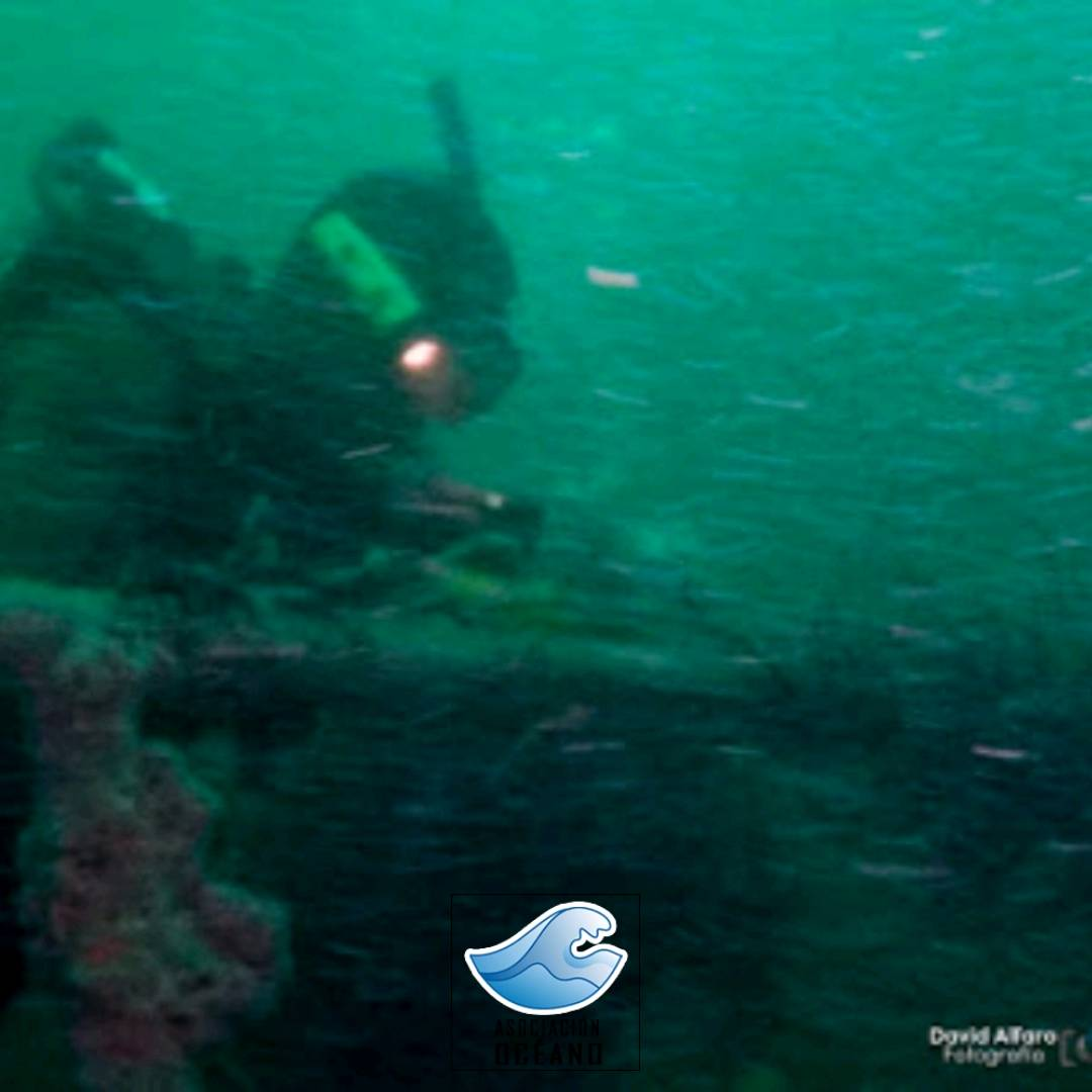
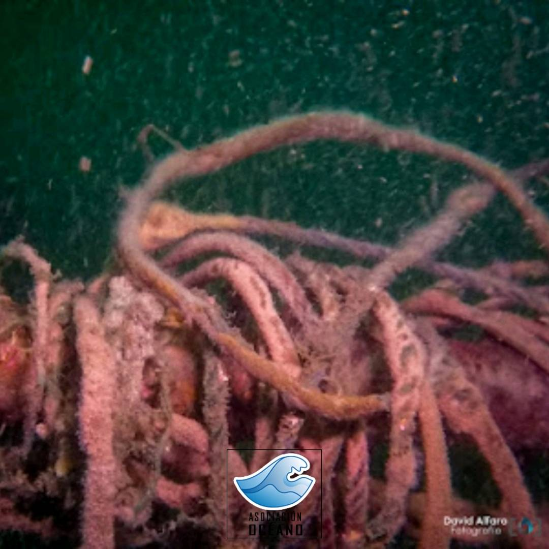
Survey Photos
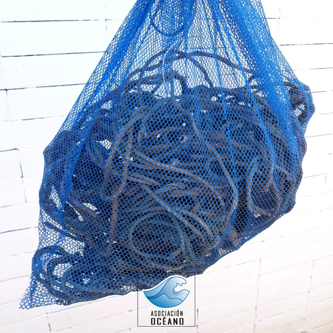
Debris Items Collected
| plastic materials collected | |
|---|---|
| Rope (plastic/nylon) | 1 |
Additional Information
Illegal fishing all time
Fishing lines
Comments and Feedback
2 knott's current at the surface and 9 feet visibility
Wreck, name La Madrona USCG Arce SV Navy


