Dive Against Debris Data Submission
St Brides Haven
5 May, 2018
- Team Leader
- Lloyd Jones
- Number of Participants
- 2
- Total Debris Collected
- 20 kgs (measured)
51.755314745305, -5.1874626008465
Survey Information
- Location Name
- St Brides Haven
- Organization/Dive Centre
- Haven Diving Services
- City
- Haverfordwest
- Country
- United Kingdom
- Date
- 5 May, 2018
- Survey Duration
- 60 Minutes
- GPS Coordinates
- Latitude: 51.755314745305
Longitude: -5.1874626008465
- Weather Conditions
-
Flat
- Survey Depth Range
- 2–12 meters
- Area Surveyed
- 1738.21 m2
- Dominant Substrate
- sand
- Ecosystem
- rocky reef
- Wave Conditions
- Calm (glassy to rippled) for waves 0 – 0.1 meter high
Survey Photos
Debris Items Collected
| plastic materials collected | |
|---|---|
| Fishing: Line | 20 |
| metal materials collected | |
|---|---|
| Fishing: Sinkers, Lures, Hooks | 20 |
| Entangled Animals | |
|---|---|
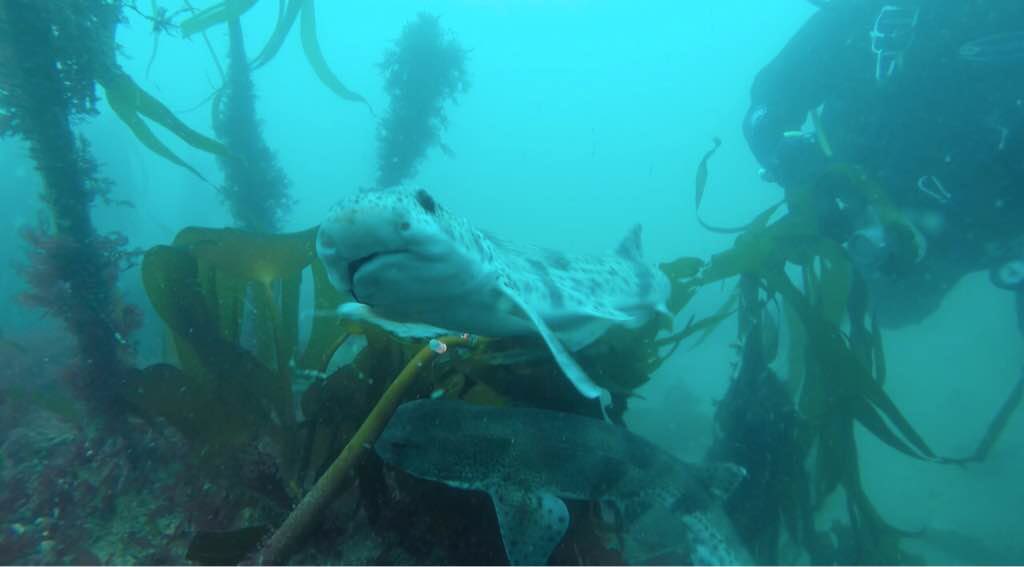
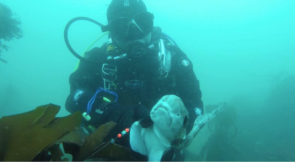
| Sharks & Rays | |
| Species or Common Name | Catshark |
| Number Entangled | 2 |
| Status | released unharmed |
| Type of Debris | Fishing line entanglement |
| Comments | Hook present in mouths of both sharks, successfully removed. |
Additional Information
Fishing on coastal path
Coffee mug
Fishing line
Fishing Nets
Lobster pots
Comments and Feedback
Sharks released safely.
Fishing line found often in dense kelp beds on left hand side of dive site.


