
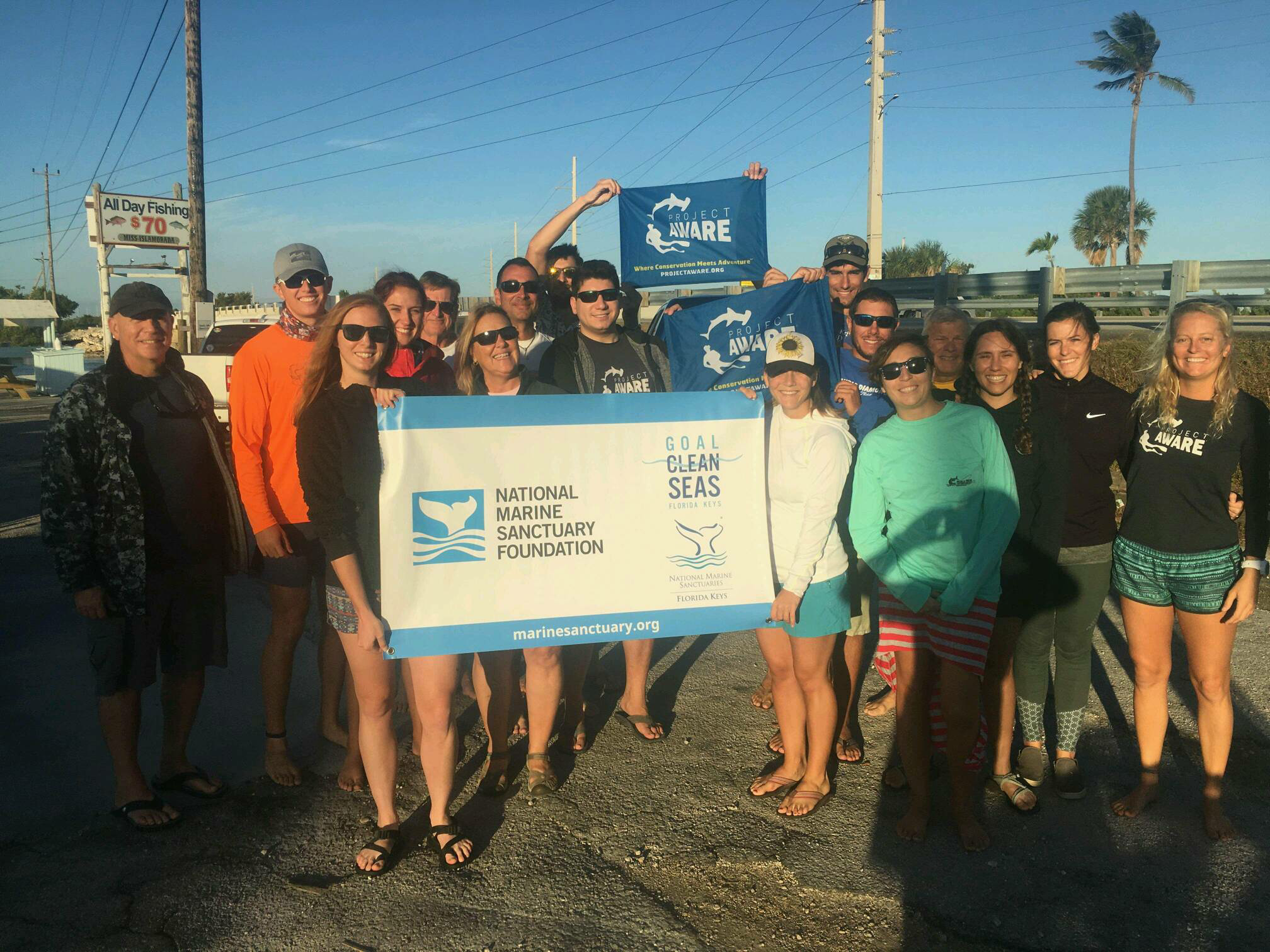
Dive Against Debris Data Submission
Canyon Land
2 November, 2018
- Team Leader
- Cortney Benson
- Number of Participants
- 18
- Total Debris Collected
- 76 lbs (measured)
24.4863, -80.4035
Survey Information
- Location Name
- Canyon Land
- Organization/Dive Centre
- Key Dives/FKNMS
- City
- Islamorada
- Country
- United States
- Date
- 2 November, 2018
- Survey Duration
- 43 Minutes
- GPS Coordinates
- Latitude: 24.4863
Longitude: -80.4035
- Weather Conditions
-
Calm and sunny
- Survey Depth Range
- 50–55 feet
- Area Surveyed
- 100 m2
- Dominant Substrate
- coral
- Ecosystem
- coral reef
- Wave Conditions
- Smooth (wavelets) for waves 0.1 - 0.5 meter high
Survey Photos
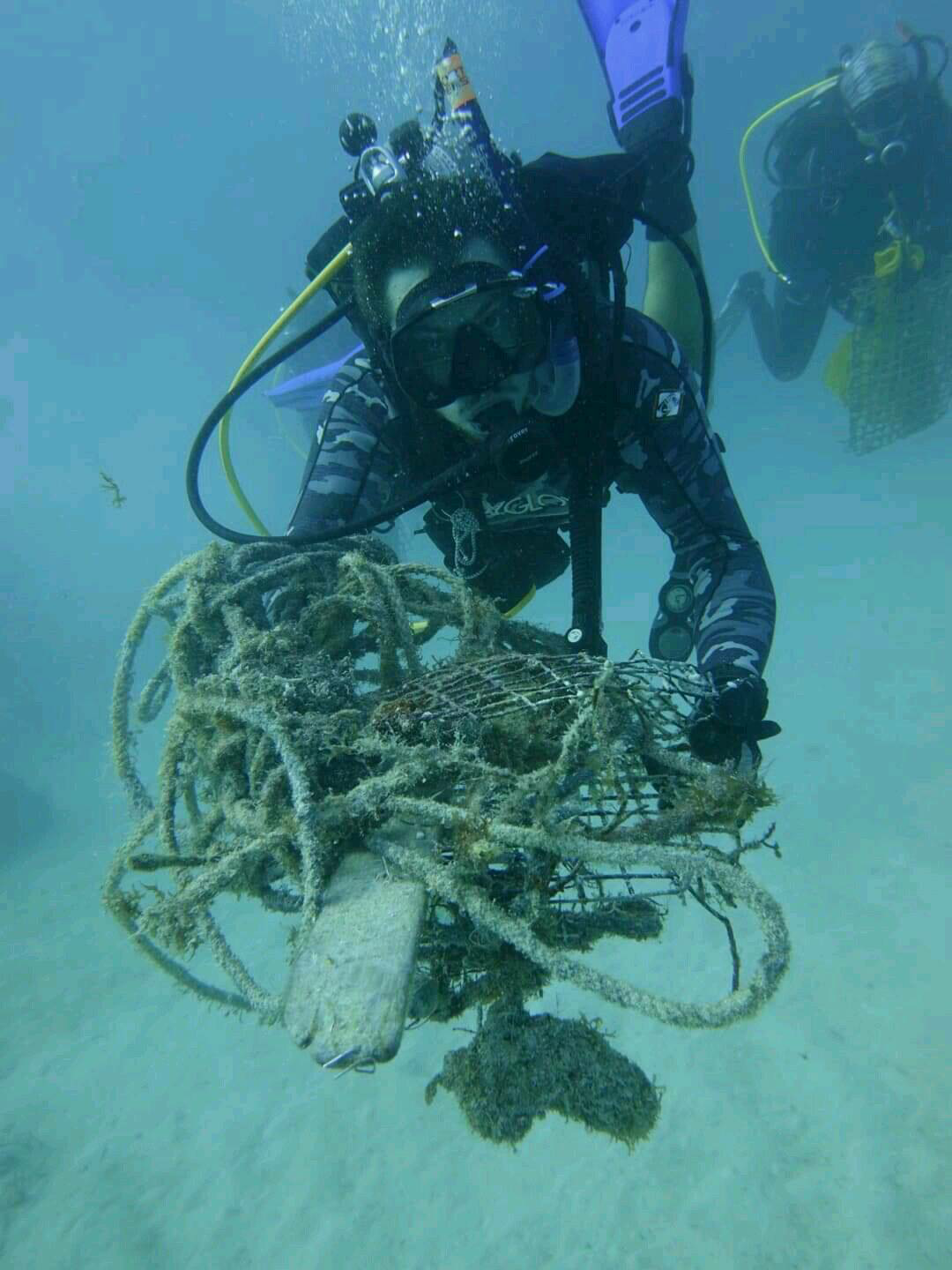
Debris Items Collected
| plastic materials collected | |
|---|---|
| Fishing: Line | 8 |
| Fishing: Lures, Rods/poles | 2 |
| Fishing: Nets & Pieces Of Nets | 1 |
| glass materials collected | |
|---|---|
| Beverage Bottles (glass) | 2 |
| metal materials collected | |
|---|---|
| Fishing: Traps & Pots | 6 |
| wood materials collected | |
|---|---|
| Wood Fragments | 21 |
| cloth materials collected | |
|---|---|
| Rope And String (cloth) | 9 |
Additional Information
Hurricane Irma as well as commercial and recreational fishing
Lobster trap debris
Monofilament
Cloth rope


