
Dive Against Debris Data Submission
Blue Heron Bridge
4 August, 2018
- Team Leader
- Jason Davis
- Number of Participants
- 7
- Total Debris Collected
- 10 lbs (estimated)
26.7841818, -80.0429266
Survey Information
- Location Name
- Blue Heron Bridge
- Organization/Dive Centre
- Nautilus Aquatics
- City
- Sterling
- Country
- United States
- Date
- 4 August, 2018
- Survey Duration
- 60 Minutes
- GPS Coordinates
- Latitude: 26.7841818
Longitude: -80.0429266
- Weather Conditions
-
Some wind
- Survey Depth Range
- 12–20 feet
- Area Surveyed
- 600 ft2
- Dominant Substrate
- sand
- Ecosystem
- rocky reef
- Wave Conditions
- Calm (glassy to rippled) for waves 0 – 0.1 meter high
Survey Photos
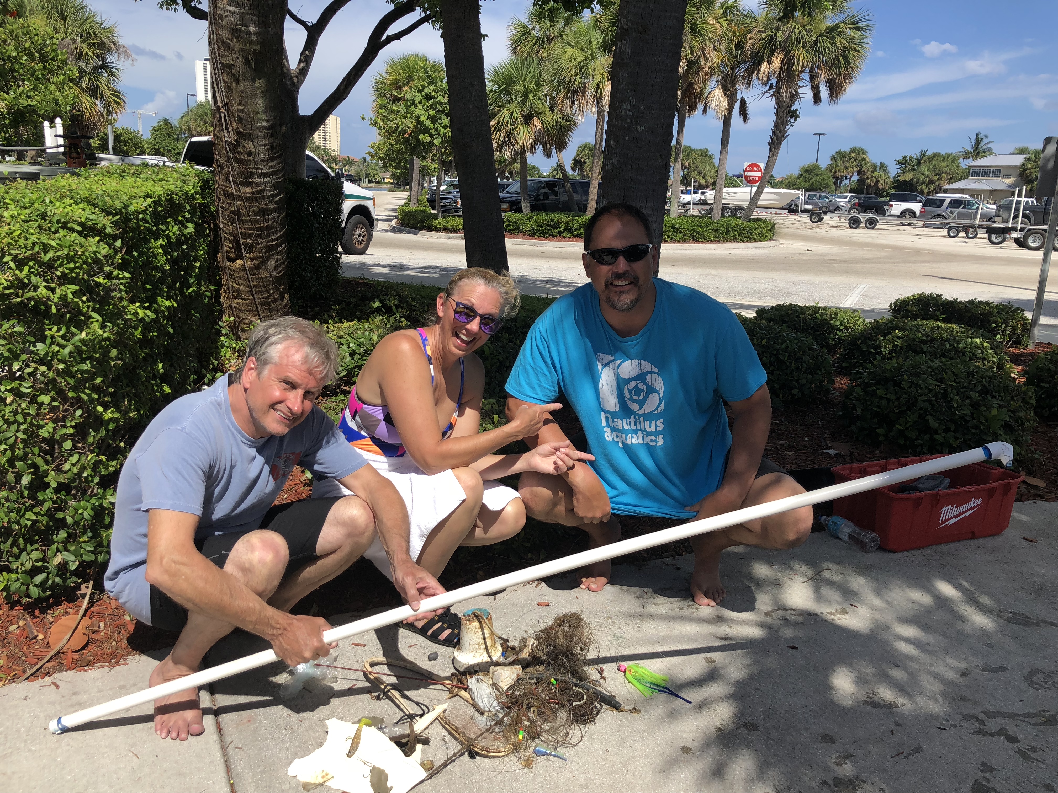
Debris Items Collected
| plastic materials collected | |
|---|---|
| Bags: Trash (plastic) | 1 |
| Fishing: Line | 200 |
| Fishing: Lures, Rods/poles | 7 |
| Fishing: Nets & Pieces Of Nets | 1 |
| rubber materials collected | |
|---|---|
| Rubber Fragments | 5 |
| cloth materials collected | |
|---|---|
| Cloth Fragments | 3 |
| other materials collected | |
|---|---|
| Boat Pump | 1 |
Additional Information
Boat pump
Monofilament


