Dive Against Debris Data Submission
ADS404 - La Jolla Shores
20 March, 2018
- Team Leader
- Michael Bear
- Number of Participants
- 1
- Total Debris Collected
- 0.125 lbs (estimated)
32.859274244082, -117.25653699121
Survey Information
- Location Name
- ADS404 - La Jolla Shores
- Organization/Dive Centre
- Ocean Sanctuaries
- City
- San Diego
- Country
- United States
- Date
- 20 March, 2018
- Survey Duration
- 45 Minutes
- GPS Coordinates
- Latitude: 32.859274244082
Longitude: -117.25653699121
- Weather Conditions
-
Cool, cloudy
- Survey Depth Range
- 15–113 feet
- Area Surveyed
- 500 ft2
- Dominant Substrate
- sand
- Ecosystem
- kelp
- Wave Conditions
- Calm (glassy to rippled) for waves 0 – 0.1 meter high
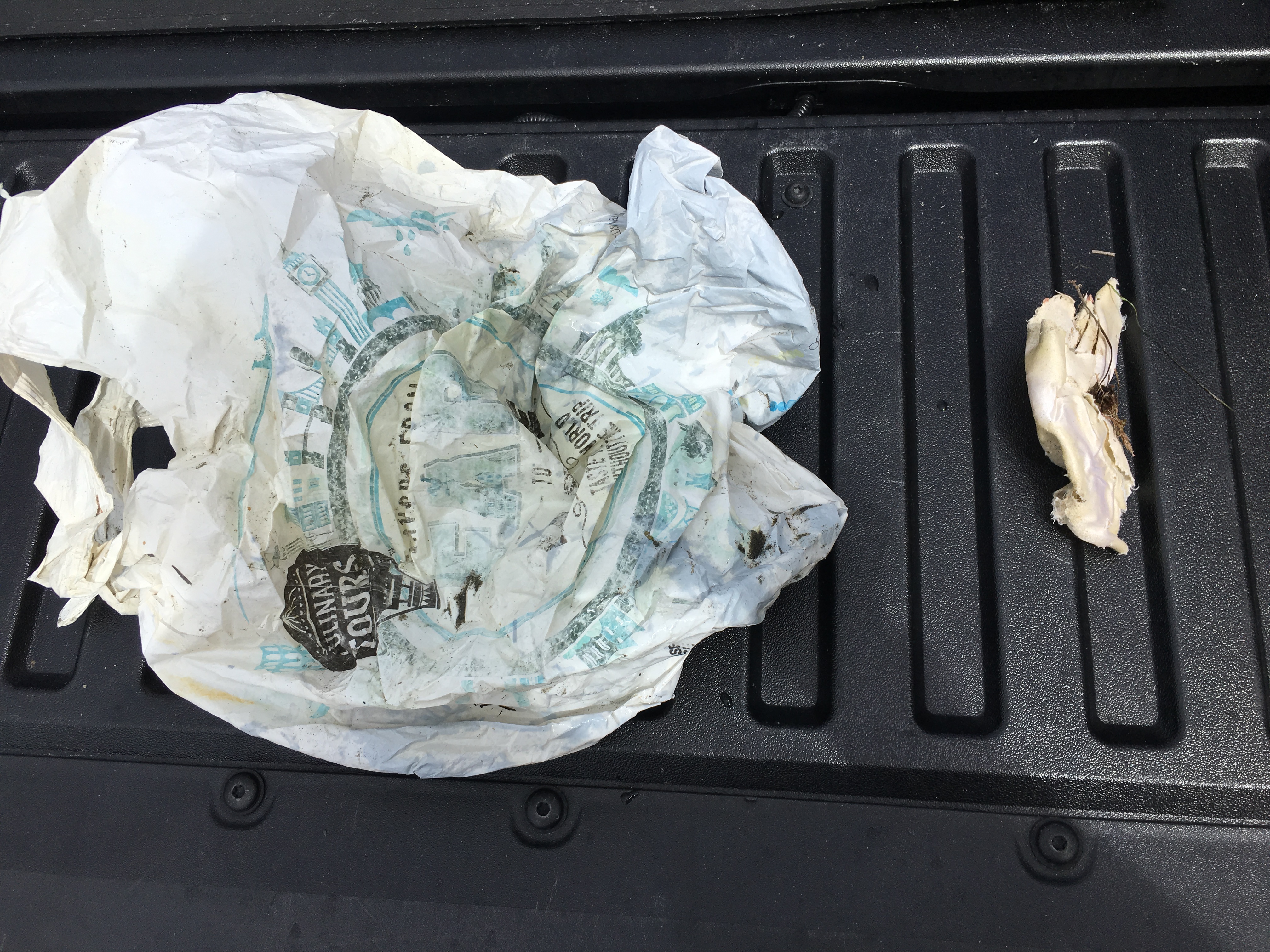
Survey Photos
Debris Items Collected
| plastic materials collected | |
|---|---|
| Bags-grocery/retail (plastic) | 1 |
| paper materials collected | |
|---|---|
| Paper, Cardboard Fragments | 1 |
Additional Information
No.
Comments and Feedback
FYI: Your area calculator at Daft Logic appears unreachable, ie: "This site can’t be reached: The webpage at http://www.daftlogic.com/projects-google-maps-area-calculator-tool.htm might be temporarily down or it may have moved permanently to a new web address." And, this is a crucial tool for us to be able to estimate the square footage we surveyed. Thanks!
It is a deep water canyon, off the coast of San Diego, known as La Jolla Canyon.


