
Anacapa Island State Marine Conservation Area
18 December, 2016
- Team Leader
- Dae-Wui Jung
- Number of Participants
- 8
- Total Debris Collected
- 0 kgs (measured)
34.013385736640046, -119.44357484753709
Survey Information
- Location Name
- Anacapa Island State Marine Conservation Area
- Organization/Dive Centre
- Blue Holic Scuba
- City
- Los Angeles
- Country
- United States
- Date
- 18 December, 2016
- Survey Duration
- 106 Minutes
- GPS Coordinates
- Latitude: 34.013385736640046
Longitude: -119.44357484753709
- Weather Conditions
-
The weather before the survey was not very good. Rain and wind blew so hard.
- Survey Depth Range
- 4–21 meters
- Area Surveyed
- 652.545 m2
- Dominant Substrate
- rock
- Ecosystem
- rocky reef
- Wave Conditions
- Calm (glassy to rippled) for waves 0 – 0.1 meter high
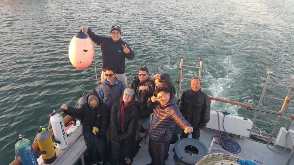
Survey Photos
Debris Items Collected
Additional Information
Anacapa Island State Marine Conservation Area is an islands which protected by the state of California. There isn't any debris underwater. It is amazing!!! The weather before the survey was not very good. Rain and wind blew so hard. So we expected that there are much floated and drifted trash by strong current. However there isn't any trash underwater and sea surface. I am eager to continue this situation.
There isn't any trash and debris underwater on December 18, 2016. It's amazing!!
Comments and Feedback
Anacapa Island State Marine Conservation Area is designated a Southern California Marine Protected Areas (MPAs) by California Department of Fish and Wildlife, and Channel Islands National Marine Sanctuary. There are seals, huge big lobsters, many species of fishes and mollusks. It is good to see a great conserved marine ecosystem.


