
Dive Against Debris Data Submission
kajika
21 September, 2024
- Team Leader
- masahiko ueda
- Number of Participants
- 5
- Total Debris Collected
- 3 kgs (measured)
33.967489, 136.219494
Survey Information
- Location Name
- kajika
- Organization/Dive Centre
- io takatsuki
- City
- kajika
- Country
- Japan
- Date
- 21 September, 2024
- Survey Duration
- 30 Minutes
- GPS Coordinates
- Latitude: 33.967489
Longitude: 136.219494
- Weather Conditions
- Survey Depth Range
- 3–17 meters
- Area Surveyed
- 3747.53 m2
- Dominant Substrate
- rock
- Ecosystem
- rocky reef
- Wave Conditions
- Calm (glassy to rippled) for waves 0 – 0.1 meter high
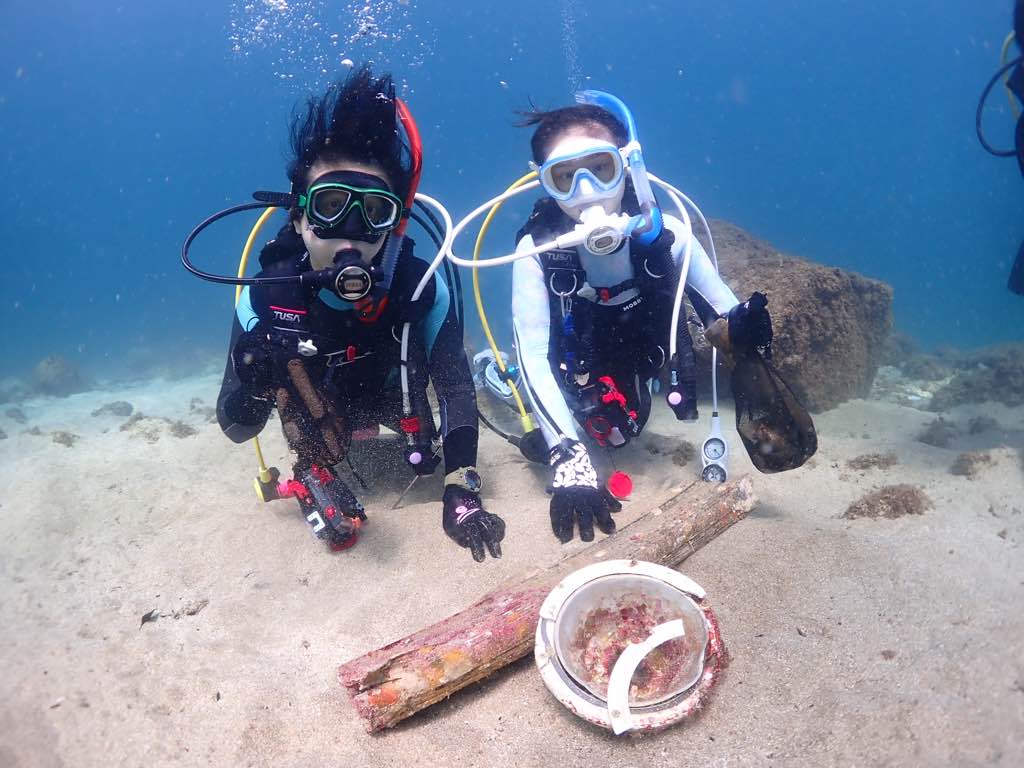
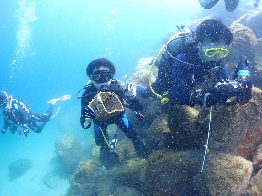
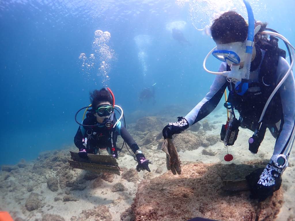
Survey Photos
Debris Items Collected
| plastic materials collected | |
|---|---|
| Containers: Fast Food, Lunch Boxes & Similar | 2 |
| Fishing: Line | 2 |
| Fishing: Lures, Rods/poles | 4 |
| Furnishings (plastic) | 1 |
| glass materials collected | |
|---|---|
| Beverage Bottles (glass) | 2 |
| metal materials collected | |
|---|---|
| Beverage Cans (aluminium) | 3 |
| Metal Fragments | 1 |
| Fishing: Traps & Pots | 1 |
| wood materials collected | |
|---|---|
| Wood Fragments | 8 |
| cloth materials collected | |
|---|---|
| Gloves (cloth) | 2 |


