
Dive Against Debris Data Submission
Larak Island
21 April, 2023
- Team Leader
- BehnazBani
- Number of Participants
- 8
- Total Debris Collected
- 20 kgs (estimated)
26.869727, 56.325036
Survey Information
- Location Name
- Larak Island
- Organization/Dive Centre
- Banidive
- City
- Larak
- Country
- Iran
- Date
- 21 April, 2023
- Survey Duration
- 45 Minutes
- GPS Coordinates
- Latitude: 26.869727
Longitude: 56.325036
- Weather Conditions
-
Calm
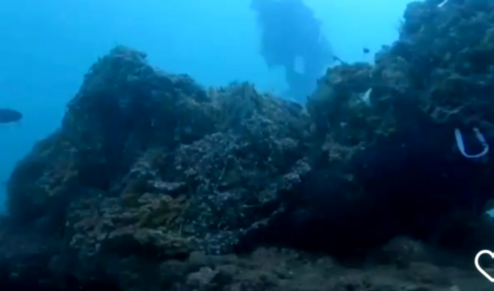
- Survey Depth Range
- 20–28 meters
- Area Surveyed
- 2463.62 m2
- Dominant Substrate
- sand
- Ecosystem
- ship wreck
- Wave Conditions
- Calm (glassy to rippled) for waves 0 – 0.1 meter high
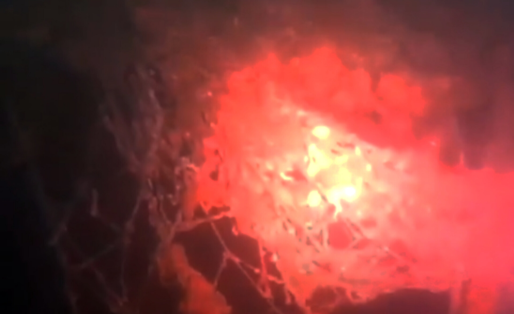
Survey Photos
Debris Items Collected
| plastic materials collected | |
|---|---|
| Buoys & Floats (plastic & Foamed) | 1 |
| Fishing: Line | 4 |
| Fishing: Nets & Pieces Of Nets | 7 |
| Mesh Bags: Fruit/vegetable/shellfish | 2 |
| Rope (plastic/nylon) | 1 |
| cloth materials collected | |
|---|---|
| Rope And String (cloth) | 2 |
| Towels/rags | 2 |
Additional Information
Over fishing
Fishing debris


