
Dive Against Debris Data Submission
HMS Maori
7 May, 2023
- Team Leader
- Susannah Williams
- Number of Participants
- 2
- Total Debris Collected
- 0.1 kgs (estimated)
35.902955, 14.516286
Survey Information
- Location Name
- HMS Maori
- Organization/Dive Centre
- NDS Malta
- Country
- Malta
- Date
- 7 May, 2023
- Survey Duration
- 47 Minutes
- GPS Coordinates
- Latitude: 35.902955
Longitude: 14.516286
- Weather Conditions
-
Calm
- Survey Depth Range
- 4–15 meters
- Area Surveyed
- 4069.19 m2
- Dominant Substrate
- sand
- Ecosystem
- rocky reef
- Wave Conditions
- Smooth (wavelets) for waves 0.1 - 0.5 meter high
Survey Photos
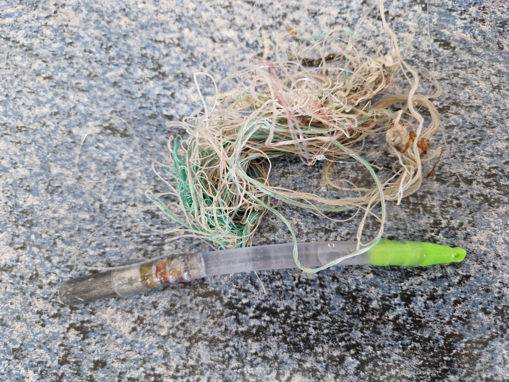
Debris Items Collected
| plastic materials collected | |
|---|---|
| Fishing: Line | 2 |
| metal materials collected | |
|---|---|
| Fishing: Sinkers, Lures, Hooks | 1 |
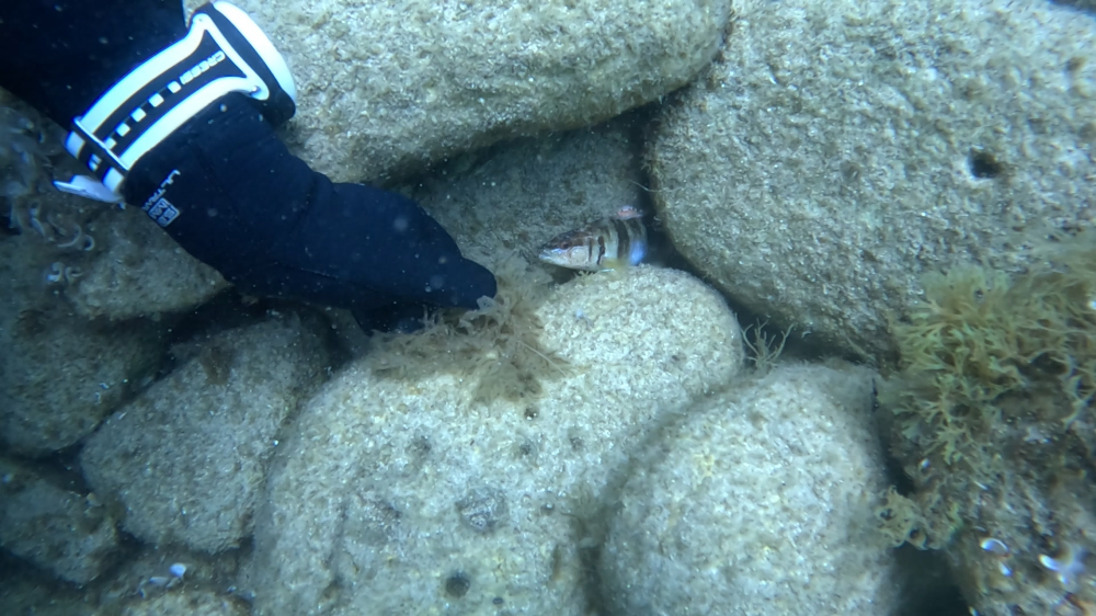
| Entangled Animals | |
|---|---|
| Other Fish | |
| Species or Common Name | Painted Comber |
| Number Entangled | 1 |
| Status | injured |
| Type of Debris | Fishing hook and line |
| Comments | Fish had eaten the fishing hook and unable to swim away as the line was attached to a weight. Cut the line but fish seemed unable to swim away by then. |
Additional Information
Fishing hooks


