
Dive Against Debris Data Submission
Red Slave Bonaire
11 November, 2020
- Team Leader
- Maarten van Kuyk
- Number of Participants
- 1
- Total Debris Collected
- 5 kgs (estimated)
12.026471, -68.251386
Survey Information
- Location Name
- Red Slave Bonaire
- Organization/Dive Centre
- HSD/ Cmas
- City
- Kralendijk
- Country
- Netherlands Antilles
- Date
- 11 November, 2020
- Survey Duration
- 69 Minutes
- GPS Coordinates
- Latitude: 12.026471
Longitude: -68.251386
- Weather Conditions
-
Sunny
- Survey Depth Range
- 3–23 meters
- Area Surveyed
- 60 m2
- Dominant Substrate
- rock
- Ecosystem
- coral reef
- Wave Conditions
- Smooth (wavelets) for waves 0.1 - 0.5 meter high
Survey Photos
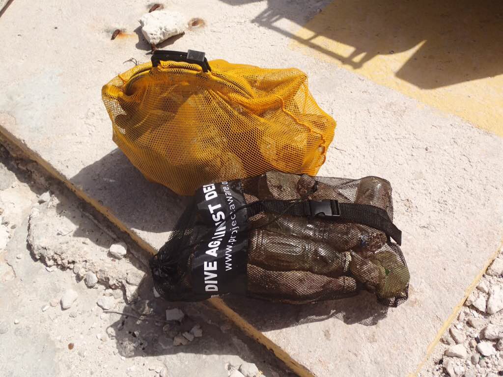
Debris Items Collected
| plastic materials collected | |
|---|---|
| Beverage Bottles: 2 Litres Or More (plastic) | 35 |
Additional Information
No
Plastic bottle
Plastic bottle
Fishing wire


