
Dive Against Debris Data Submission
Lost Anchor
15 June, 2019
- Team Leader
- Uwe
- Number of Participants
- 2
- Total Debris Collected
- 0.5 kgs (estimated)
-19.947736383626, 57.623274872403
Survey Information
- Location Name
- Lost Anchor
- Organization/Dive Centre
- Uwe & Jill
- City
- Péreybère
- Country
- Mauritius
- Date
- 15 June, 2019
- Survey Duration
- 50 Minutes
- GPS Coordinates
- Latitude: -19.947736383626
Longitude: 57.623274872403
- Weather Conditions
-
Windy
- Survey Depth Range
- 10–23 meters
- Area Surveyed
- 276.687 m2
- Dominant Substrate
- rock
- Ecosystem
- coral reef
- Wave Conditions
- Slight for waves 0.5 -1.25 meter high
Survey Photos
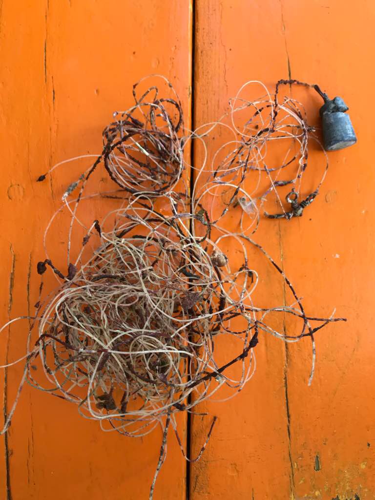
Debris Items Collected
| plastic materials collected | |
|---|---|
| Fishing: Line | 5 |
| metal materials collected | |
|---|---|
| Fishing: Sinkers, Lures, Hooks | 2 |
Additional Information
Irresponsible fishermen
Line entanglement of coral
Lead sinkers


