
Dive Against Debris Data Submission
Koh Lek East
23 June, 2018
- Team Leader
- Jim Lyon
- Number of Participants
- 2
- Total Debris Collected
- 8 kgs (estimated)
6.5667433050075, 99.344616134554
Survey Information
- Location Name
- Koh Lek East
- Organization/Dive Centre
- City
- Koh Lipe
- Country
- Thailand
- Date
- 23 June, 2018
- Survey Duration
- 32 Minutes
- GPS Coordinates
- Latitude: 6.5667433050075
Longitude: 99.344616134554
- Weather Conditions
-
Heavy storm followed by sun
- Survey Depth Range
- 2–7 meters
- Area Surveyed
- 1000 m2
- Dominant Substrate
- coral
- Ecosystem
- coral reef
- Wave Conditions
- Smooth (wavelets) for waves 0.1 - 0.5 meter high
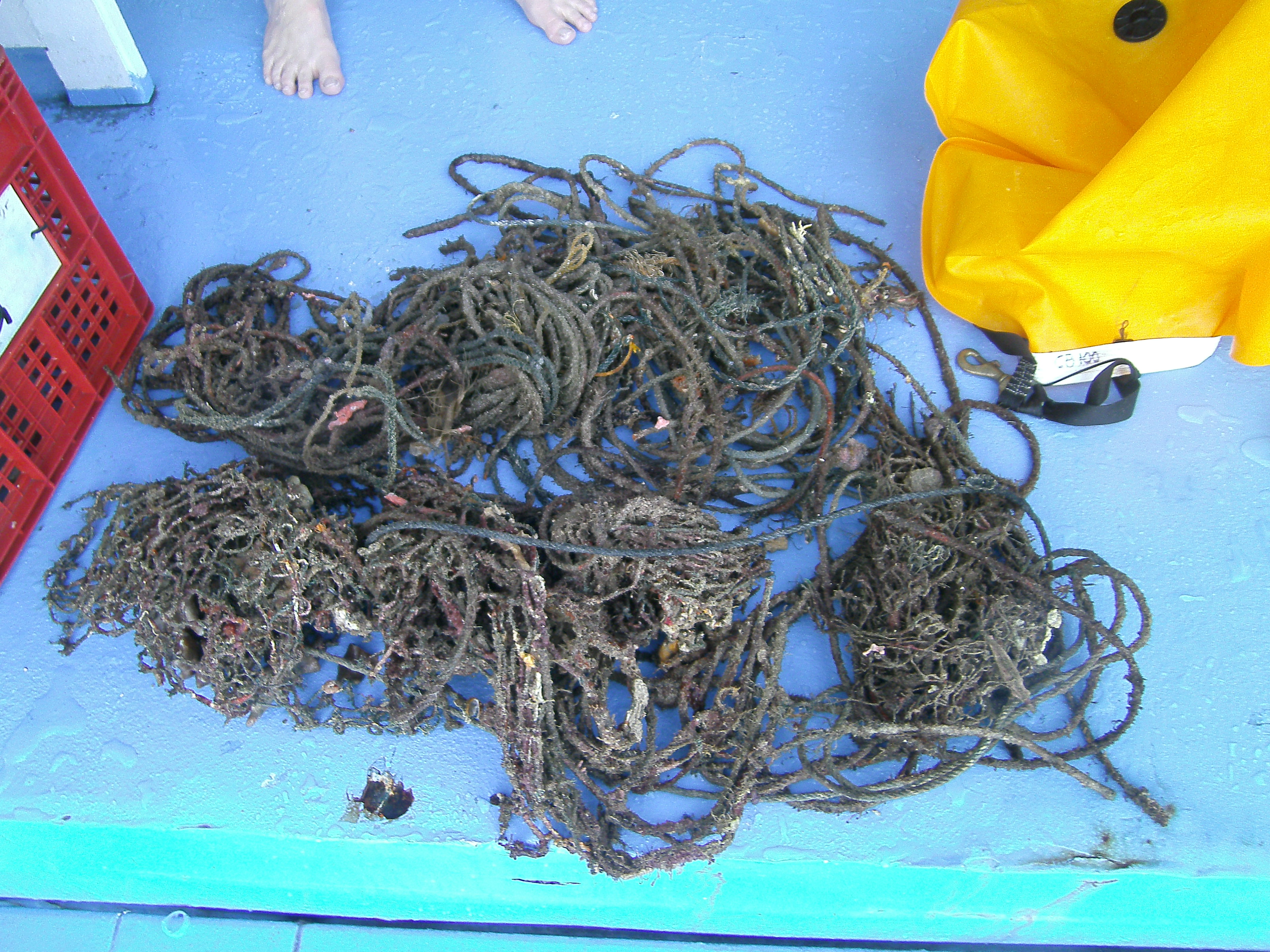
Survey Photos
Debris Items Collected
| plastic materials collected | |
|---|---|
| Fishing: Nets & Pieces Of Nets | 2 |
| cloth materials collected | |
|---|---|
| Rope And String (cloth) | 40 |
Additional Information
None - the debris found was old fishing nets/rope
Old fishing nets
Fish Traps
Ropes
Comments and Feedback
The area of part of an Tarutao National Marine Park. There is ongoing fishing via fish traps in the area. No noticeable active net fishing, but old nets found in various locations within the MPA


