
Dive Against Debris Data Submission
Jolly Roger Barge
10 August, 2024
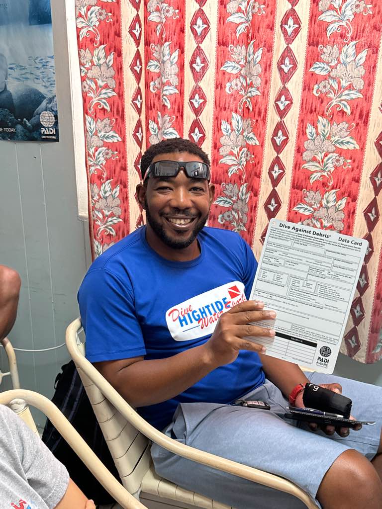
- Team Leader
- Sim
- Number of Participants
- 2
- Total Debris Collected
- 1 lbs (estimated)
13.178891185536, -59.640628769948
Survey Information
- Location Name
- Jolly Roger Barge
- Organization/Dive Centre
- Hightide Watersports
- City
- Bridgetown
- Country
- Barbados
- Date
- 10 August, 2024
- Survey Duration
- 25 Minutes
- GPS Coordinates
- Latitude: 13.178891185536
Longitude: -59.640628769948
- Weather Conditions
-
Sunny, calm
- Survey Depth Range
- 20–25 feet
- Area Surveyed
- 99484.4 ft2
- Dominant Substrate
- coral
- Ecosystem
- coral reef
- Wave Conditions
- Calm (glassy to rippled) for waves 0 – 0.1 meter high
Survey Photos
Debris Items Collected
| plastic materials collected | |
|---|---|
| Bags-grocery/retail (plastic) | 1 |
| SCUBA & Snorkel Gear-masks, Snorkels, Fins | 1 |
| metal materials collected | |
|---|---|
| Wire, Wire Mesh & Barbed Wire | 1 |
Additional Information
Snorkel tour
Cutting wire


