
Dive Against Debris Data Submission
Punta Betin
22 June, 2024
- Team Leader
- Lina
- Number of Participants
- 4
- Total Debris Collected
- 60 kgs (measured)
11.252327, -74.221487
Survey Information
- Location Name
- Punta Betin
- Organization/Dive Centre
- Atlantida Bucea
- City
- Santa Marta
- Country
- Colombia
- Date
- 22 June, 2024
- Survey Duration
- 60 Minutes
- GPS Coordinates
- Latitude: 11.252327
Longitude: -74.221487
- Weather Conditions
-
Lluvia
- Survey Depth Range
- 10–12 meters
- Area Surveyed
- 241.25 m2
- Dominant Substrate
- coral
- Ecosystem
- coral reef
- Wave Conditions
- Smooth (wavelets) for waves 0.1 - 0.5 meter high
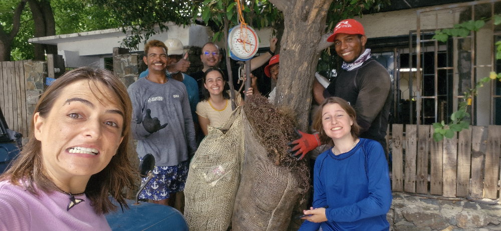
Survey Photos
Debris Items Collected
| plastic materials collected | |
|---|---|
| Fishing: Nets & Pieces Of Nets | 4 |
| Entangled Animals | |
|---|---|
| Other Fish | |
| Species or Common Name | Diferentes |
| Number Entangled | 11 |
| Status | dead |
| Type of Debris | Fishing net |
| Other Animals | |
| Species or Common Name | Esponjas Y Cortés |
| Number Entangled | 15 |
| Status | dead |
| Type of Debris | Fishing net |


