
Dive Against Debris Data Submission
Blue Heron Bridge
1 April, 2024
- Team Leader
- Juan Bousquet
- Number of Participants
- 2
- Total Debris Collected
- 4.3 lbs (measured)
26.78317, -80.04028
Survey Information
- Location Name
- Blue Heron Bridge
- Organization/Dive Centre
- City
- Singer Island
- Country
- United States
- Date
- 1 April, 2024
- Survey Duration
- 54 Minutes
- GPS Coordinates
- Latitude: 26.78317
Longitude: -80.04028
- Weather Conditions
- Survey Depth Range
- 13–18 feet
- Area Surveyed
- 21567.4 ft2
- Dominant Substrate
- sand
- Ecosystem
- Sandy
- Wave Conditions
- Calm (glassy to rippled) for waves 0 – 0.1 meter high
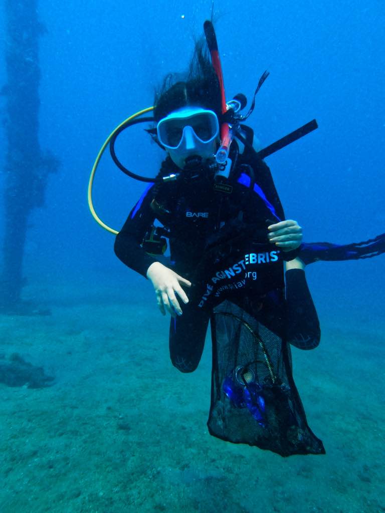
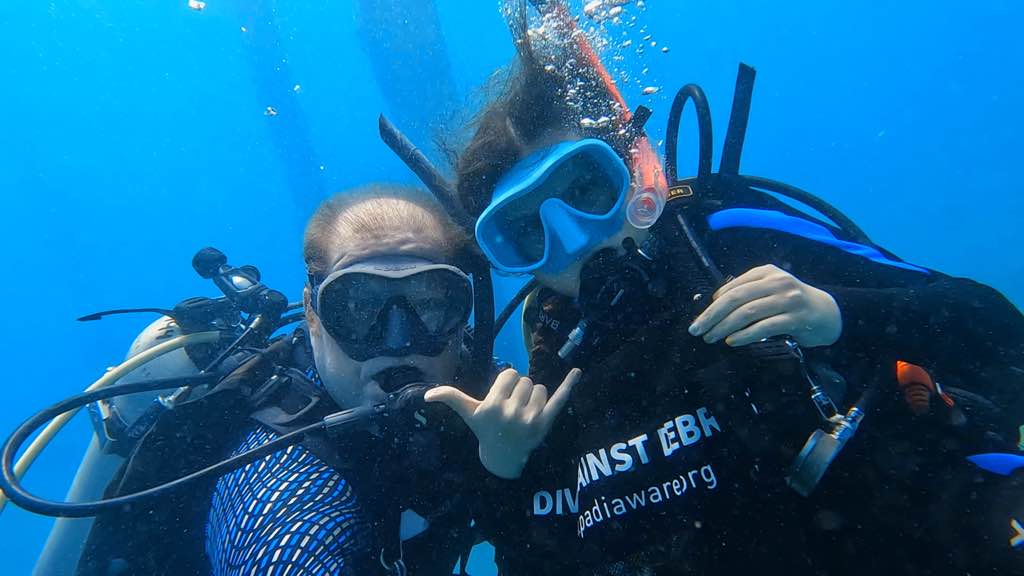
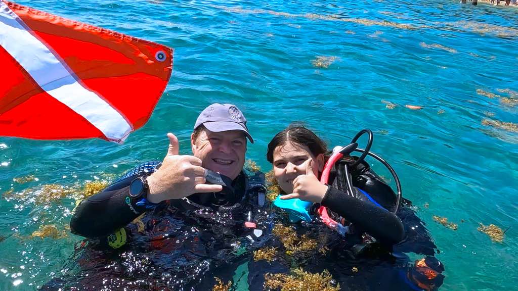
Survey Photos
Debris Items Collected
| plastic materials collected | |
|---|---|
| Bags: Trash (plastic) | 4 |
| Caps & Lids (plastic) | 1 |
| Plastic Fragments | 10 |
| glass materials collected | |
|---|---|
| Cups & Plates-tableware/dishes (glass & Ceramic) | 1 |
| metal materials collected | |
|---|---|
| Cans: Food/juice, Other (tin) | 2 |
| Metal Fragments | 3 |
| Fishing: Sinkers, Lures, Hooks | 3 |
Additional Information
No
Hooks and fishing lines active while diving.


